Spatial data needs in the new CAP and beyond
|
|
|
- Morgan Thomas
- 5 years ago
- Views:
Transcription


1 Spatial data needs in the new CAP and beyond INSPIRE CONFERENCE 19 September 2018 European Commission DG AGRI D.3 Implementation support & IACS
 Climate (LULUCF, ) Environment (Natura2000, ) Future CAP based on performance Agricultural performance demonstration")
2 Why do we need to share existing data? Policy monitoring Agriculture and rural development (CAP strategic plan, ) Climate (LULUCF, ) Environment (Natura2000, ) Future CAP based on performance Agricultural performance demonstration Environmental and climatic performance Directives and other purposes Public Sector Information Directive (PSI Dir. 2013/37/EU) Infrastructure for Spatial Information in EC (INSPIRE Dir. 2007/2/EC) Statistical purposes (Reg.(EC) No 223/2009) 2
3 The future CAP priorities at a glance A fairer and more effective distribution of support across MS and farmers Support to the development of a knowledge-based agriculture Higher ambitions on environment and climate Shift from compliance to performance (progress towards targets)

4 FOCUS ON PERFORMANCE Multi-annual programming approach for the whole CAP COMMON OBJECTIVES INDICATORS TYPES OF INTERVENTIONS Assurance Annual Performance Clearance Linking expenditure to output Common Output Indicators Monitoring Annual Performance Review Checking progress towards targets Common Result Indicators Policy performance Interim Evaluation Assessing performance towards objectives Common Impact Indicators 4 Agriculture and Rural Development


5 Proposed impact indicators for the CAP (environment and climate) EU specific objectives Impact indicators Contribute to climate change mitigation and adaptation, as well as sustainable energy Foster sustainable development and efficient management of natural resources such as water, soil and air I.9 Improving farm resilience: Index I.10 Contribute to climate change mitigation: Reducing GHG emissions from agriculture I.11 Enhancing carbon sequestration: Increase the soil organic carbon I.12 Increase sustainable energy in agriculture: Production of renewable energy from agriculture and forestry I.13 Reducing soil erosion: Percentage of land in moderate and severe soil erosion on agricultural land I.14 Improving air quality: Reduce ammonia emissions from agriculture I.15 Improving water quality: Gross nutrient balance on agricultural land 1.16 Reducing nutrient leakage: Nitrate in ground water - Percentage of ground water stations with N concentration over 50 mg/l as per Agriculture the and Nitrate 5 Rural Development directive
6 Proposed impact indicators for the CAP (environment and climate) EU Specific objectives Impact indicators I.18 Increasing farmland bird populations: Farmland Bird Index Contribute to the protection of biodiversity, enhance ecosystem services and preserve habitats and landscapes I.19 Enhanced biodiversity protection: Percentage of species and habitats of Community interest related to agriculture with stable or increasing trends I.20 Enhanced provision of ecosystem services: share of UAA covered with landscape features 6 Agriculture and Rural Development
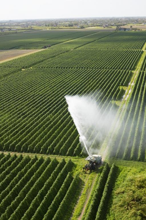
7 CAP strategic plan & agri-environmental analysis Agricultural parcel data (GSAA) Agricultural parcel boundaries and maximum eligible areas LCC: arable land, permanent crops, permanent grassland LU: uses on arable land for crop diversification Ecological Focus Areas, including for instance landscape features and intermediary crops are extremely valuable for gaining knowledge about The geo-distribution of crops, The evolution of permanent grassland, The connectivity of the Natura 2000 network in broader rural, landscapes Water use, nutrient balance, biodiversity, high value farming, & as validation ground truth in complement to LUCAS survey data for: Training of classifiers of Sentinel and other EO data
8 Indicators CAP strategic plan & agri-environmental performance output linking expenditure to output (assurance) result - checking progress towards targets (monitoring) impact assessing performance towards objectives (performance) Area monitoring approach targeted crop discrimination (grass, maize, crops, winter barley, ), mowing, ploughing, nutrients, pesticides, Land-use change/conversion for climate reporting
9 The need for collaboration Digital sources 1. Defining indicators Commission services Climate Agriculture Environm ent National administrations 2. Collecting data (diverse sources): Remote sensing and satellite Studies and research projects Administrative sources Precision farming Commercial data Surveys Models etc. Private companies / individuals Research institutes
10 Comprehensiveness Some principles applied to the EU policy framework for LULUCF Covers the years Widening the scope of land area and greenhouse gases included within the commitment Cropland, grassland, wetlands With an eye on significance, cost effectiveness, policy design Standardisation Re-use of data where possible (georeferenced, time-series, coverage) Avoid duplication of expensive data Combine synergies of associated policy areas

11 Combining species information, Natura 2000 and Land Use e.g. for impact assessment


12 Finding data 2 available EU-level catalogues for data exploration INSPIRE geoportal: 415 MS LPIS related datasets EU Open Data portal: 139 MS datasets related to LPIS


13 Testing Testing NL and BE (FL) data published by MS on EU open data portal and INSPIRE geoportal. Subsets of LPIS/IACS data, mostly crop parcels View services and download available Different structure & data, no semantic interoperability

14 Good example of online MS LPIS viewer Several MS already offer viewing capacity in dedicated web tools. One of the best is the CZ LPIS viewer offering rich data and both viewing and download capacity
15 A step-wise process of IACS data sharing Consulting the European institutions and the MS through e-survey on their willingness/needs for IACS data sharing. Presenting the needs at 2 meetings (Joint CDP/RDC on 29 th May 2018 and an AGRI Expert Group meeting 26 th June 2018). Identifying priorities at the workshop with MS Experts (13 th September 2018) resulting in: a preliminary list of IACS data to be shared (and related conditions), under the INSPIRE framework. Taking further steps with the European institutions and presenting the workshop results to the Joint Committees in autumn 2018


16 Thank you for your attention 16