Best practices to minimize runoff pollution
|
|
|
- Gwendolyn Tucker
- 5 years ago
- Views:
Transcription


1 Best practices to minimize runoff pollution Prof. Dr. Emilio J. González-Sánchez University of Cordoba, Spain

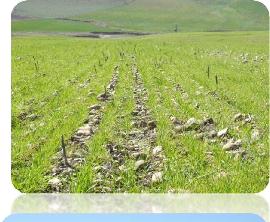
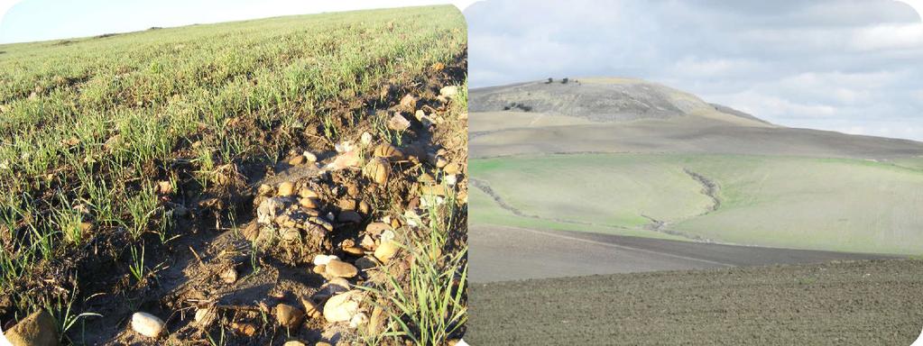
2 Surface runoff occurs when there is more water than soil can absorb Erosion by water is caused by runoff


3
4 (Arias-Estevez et al, 2008)

5 Keep an eye on sediments Sediments in the Guadajoz river (mg/l) accross the year. Bare soil and rainfall: runoff. Source: Confederación Hidrográfica del Guadalquivir


6 Types of runoff Surface runoff 1. Infiltration restriction: volume of rain > than soil infiltration 2. Saturation excess (mainly winter): water holding capacity is full Subsurface runoff Lateral soil seepage impermable layer / artificial drainage Soil full of water Impermeable Substrate


7 10cm 25cm 30cm
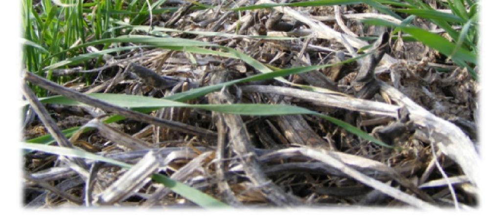
8 Specific for plant protection products (PPP) Most important for PPP transfer is the time between application and the rain / runoff event. Risk is reduced the bigger the time intervall. The longer PPP is in contact with soil the more can be degraded. Entries from drainage lower risk than from surface runoff. Transfer route depends on PPP chemical and physical behavior - Water solubility (transfer mainly in the water phase) - Absorption on soil particles (transfer mainly with soil particles). Erosion control. Drainage is a special case of runoff (if drainage works generally no or reduced surface runoff) Side benefit: PPP mitigation measures largely mitigate N and P entries to surface water


9 How does runoff look like Infiltration restriction or saturation excess Source : E.Masson - ARVALIS Source : JP Gillet- ARVALIS So ource : ARVALIS Sourc ce : J.Maillet-Mezeray- ARVALIS


10 How does runoff look like Concentrated runoff Source : ARVALIS Source : G.Le Hénaff - IRSTEA Source : G.Le Hénaff - IRSTEA JMM - ARVALIS


11 Erosion comes along with runoff Controlling runoff means reduced erosion Source : G.Le Hénaff - IRSTEA Source : : J.Maillet-Mezeray- ARVALIS


12 Best Management Practices concept Stepwise process BMP = Diagnosis + adapted mitigation measures
13 Diagnosis considers two runoff situations Runoff by Infiltration Restriction Surface Permeability Issue Heavy texture / poor structure Capping, crusting, compaction High and short intensity storms Low vegetative cover All year long! Runoff by Saturation Excess Subsurface Permeability Issue Shallow soils Impermeable layers Concave slopes Shallow wide valleys Low but long rain Mainly in winter or early spring!


14 Diagnosis: the first step to mitigate runoff 1 2 Prepare diagnosis: Cabinet work: collection of relevant and key information of the area Diagnosis in field 5 Adoption of BMPs by the farmer 4 Selection of BMPs 3 Identify risks
")
15 Plot diagnosis Determine the landscape factors Slope length Slope shape Talweg Natural buffers Field sizes Strip in a field Strip in a downslope corner of a field path Strip between a field and a path talweg Grassed waterway in a talweg Grassed waterway in a talweg Strip on field edge Meadow across a talweg Strip along a water course (or a lake)
16 Determine the runoff risk Dashboard help tool Dashboards helps to make stepwise decisions giving focus to most important factors Decision is based on concrete data but also on expertise from adviser / farmer Runoff risk analysis combines implicit + tacit knowledge Two main dashboards need to be considered for each risk analysis 1. Runoff risk estimate for infiltration restriction (D1) 2. Runoff risk estimated for saturation excess (D2)
17 Step 1 Proximit ty of Field to Water Bo ody Diagnosis of Runoff & Erosion for Infiltration restriction (D1) Adjacent Not Adjacent Advice tabs Step 2 - Slope of the Land Steep (>5%) Medium (2-5%) General BMP Measures BMP for Very Low (T1, T2, I1) Step 3 Permeability of the Topsoil High Medium I3 Low I2 BMP for Low (I2) Medium High I4 Medium I3 BMP for Medium (I3, I5) Low High - I7 High I6 Shallow (<2%) Very Low I1 Low I2 Medium I5 Step 4 Transfer of runoff to downhill field? High T3 Permeability Classes & BMP for Productivity & Protection by Runoff & Erosion Scenario Source: TOPPS partners, Runoff reaches waterbody NO YES NO Very Low T2 Very Low T1 BMP for High (T3, I4, I6, I7)
18 Risk Scenarios: Infiltration restriction (1) Risk Scenarios Transfer (T1) Very low risk Transfer (T2) Very low risk Infiltration (I1) Very low risk Infiltration (I2) Low risk Mitigation targets Maintain good agricultural practices in field to minimize runoff and erosion. T1 & in case of large amount of runoff: stop at source to avoid fast infiltration in downhill plot (ground water protection). If runoff transfer to downhill plot is not acceptable, treat plot as if adjacent to water. Stop runoff at source using in-field measures and/or edge-of-field buffers OR ensure water infiltration in downhill plot / area by suitable measures (buffers, retention structures). In case of large amount of runoff: stop at source to avoid fast infiltration in downhill plot (ground water protection). Reduce runoff at source using suitable in-field measures. If this is not possible, consider implementation of buffer zones (edgeof-field, in-field).
19 Risk Scenarios: Infiltration restriction (2) Risk Scenarios Infiltration (I3) Medium risk Infiltration (I5) Mediunm risk Transfer (T3) Infiltration (I4, I6, I7) Mitigation targets Reduce runoff at source by using all suitable in-field measures. Furthermore, implement buffers (in-field, edge-of-field) or suitable measures at landscape level (e.g. talweg buffers, retention structure), especially for fields with spring crops, or when in-field measures not viable. Reduce runoff at source by using all suitable in-field measures. Implement buffers (in-field, edge-of-field) or suitable measures at landscape level (e.g. talweg buffers, retention structure), especially for fields with spring crops, or when in-field measures not viable. Stop runoff at source using in-field measures and/or edge-of-field buffers OR ensure water infiltration in downhill plot by suitable measures (buffers, retention structures). In case of large amount of runoff: stop at source to avoid fast infiltration in downhill plot (ground water protection). Minimize risk for run off and erosion with all viable in-field measures, edge-of-field buffers, and landscape measures (buffers, retention structures). Combine effective measures to achieve maximum mitigation.
20 Field to Water Body Step 1 Proximity of Adjacent & WHC Not Not Adjacent Diagnosis of Runoff & Erosion Saturation Excess (D2) >120 mm m <120 mm WHC * Advice tabs Step 2 Landscape Situation Bottom slope / Concave Slope Upslope Concave / Straight All positions Slope /Tile Drained Valley Floor / Concave Slope Upslope Concave / Straight All positions Slope / Tile Drained Step 4 Transfer of runoff to downhill field? General BMP Measures YES Step 3 Discrete Subsurface Restriction None Pan or Other Pan + Other Medium S3 High S4 High S4 Low S2 Low SD2 Low S2 Medium S3 Medium SD3 Medium S3 High S4 Medium SD3 High S4 High S4 Downhill TransferUnlikely YES Very High Low T3 Runoff reaches Transfer waterbody T1 Likely to Surface NO Low Very Low T2 Water T2 Transfer Likely but not to NO High Very Low T3 T1 Surface Water BMP for Very Low (T1, T2, SD1, S1) Very Low S1 Very Low SD1 BMP for Low (SD2, S1) Low S2 Low SD2 BMP for Medium (SD3, S3) Medium SD3 Restriction Classes & BMP for Productivity & Protection by Runoff & Erosion Scenario Source: TOPPS partners, BMP for High (T3, S4)
21 Risk Scenarios Saturation excess (1) Risk Scenarios Transfer (T1) Very low risk Transfer (T2) Very low risk Saturation drainage (SD1) Very low risk Saturation (S1) Very low risk Mitigation targets Maintain good agricultural practices in field to minimize runoff and erosion T1 & in case of large amount of runoff: stop at source to avoid fast infiltration in downhill plot (ground water protection). If runoff transfer to downhill plot is not acceptable, treat plot as if adjacent to water. S1 & Risk of transfer via drainage water: Avoid application of susceptible pesticides during drainflow season (late autumn to early spring) and on cracked soils (spring/summer). If possible, retain drainage water in artificial wetlands/ponds. Maintain good agricultural practices on field to minimize runoff and erosion.
.")
22 Risk Scenarios Saturation (S2 & SD2 -drainage) low risk Saturation (S3 & SD3 drainage Medium risk Transfer (T3) High risk Saturation (S4) Risk Scenarios Saturation excess (2) Mitigation targets Reduce runoff at source using suitable in-field measures. If this is not possible, consider implementation of buffer zones (edge-of-field, infield). See D for drainage risk and G for groundwater risk Reduce runoff at source by using all suitable in-field measures. Furthermore, implement buffers with willow (salix) hedges or suitable measures at landscape level (e.g. talweg buffers, retention structure), when in-field measures not viable. See D for drainage risk and G for goundwater risk Stop runoff at source using in-field measures and/or edge-of-field buffers OR ensure water infiltration in downhill plot by suitable measures (wetland; ponds), retention structures). In case of large amount of runoff: stop at source to avoid fast infiltration in downhill plot (ground water protection). Minimize risk for run off and erosion with all viable in-field measures, edge-offield buffers (buffers with willow (salix) hedges), and landscape measures (buffers, wet meadow, retention structures, wetlands). Combine effective measures to achieve maximum effect. If valley bottom or floodplain, see G for leaching risk to groundwater D = Risk of transfer via drainage water: Avoid application of susceptible pesticides during drainflow season (late autumn to early spring) and on cracked soils (spring/summer). If possible, retain drainage water in artificial wetlands/ponds. G = Risk of transfer to groundwater in alluvial floodplain. Follow product-specific advice to minimize inputs to vulnerable areas (shallow groundwater, sandy soils with low organic carbon)
23 Mitigation measures toolbox (6 categories & 29 measures)

24

25 Case study: Guadalcazar (Spain)


26 Field characteristics ha & 35 plots
 Near Guadalquivir river Torvisca")
27 Basin characteristics 2 water streams non permanent (Ansaras & Torvisca) Near Guadalquivir river Torvisca Ansaras

28 Basin characteristics Olive trees Wheat / Sunflower


29 Soil Management 82% tillage 7% groundcovers 11% reduced tillage


30 Basin characteristics Soil Management system Tillage Reduced tillage Groundcovers in permanent crops


31 Basin characteristics Average slope 9% 7% 8% 9% 10% 11% 12%

32 Runoff risk High Medium


33


34 Mitigation measures toolbox (6 categories & 23 measures)

35


36

37 After implementing the BMPs Runoff risk Low Very low
38 TAKE HOME MESSAGES Runoff and erosion are interlinked processes. Soil erosion and runoff are a major cause for soil degradation, and may cause water pollution by pesticides. TOPPS best management practices (for annual and permanent crops) are effective to prevent both problems and therefore avoid/minimize water contamination by PPP. Training farmers is essential.


39


40
41 THANK YOU FOR YOUR ATTENTION More info: