Mahmoud M. Shendi. Soils & Water Sciences, Faculty of Agriculture Fayoum University, Egypt
|
|
|
- Helena Montgomery
- 5 years ago
- Views:
Transcription


1 A prospective study for efficient water management under the prevailing water challenges Mahmoud M. Shendi Soils & Water Sciences, Faculty of Agriculture Fayoum University, Egypt First Egyptian-German Workshop on Sustainable Water Technologies Cairo University, Prof. Feb. Dr. M.M. 18th-20th, Shendi Giza, Egypt
, it is estimated that the cultivated area reaches to 8.3 million feddans (about 3.")
2 Introduction Egypt has an increasing population of about 85 million, and receives an annual Nile water share of 55.5 billion cubic meters. Out of the total Egyptian area (one million km 2 ), it is estimated that the cultivated area reaches to 8.3 million feddans (about 3.5 million hectares) which constitute only 4% of the total area of Egypt. The increasing population rat, urban and industrial plans and agricultural expansion reclamation projects constitute a serious excessive pressure on our limited water resources. A continuous decrease of water availability per-capita is achieved and reached to the water poverty level since 1998 and expected to reach close to 500 m3 capita/year by the year It is estimated that about % of our water resources is used in agricultural activities, FAO (2004). A huge volume of this irrigation water (about 35-40%) leaks away, evaporated or misused.

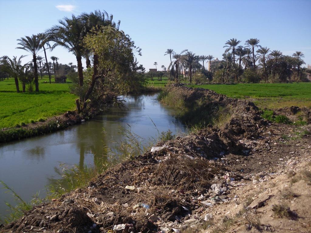
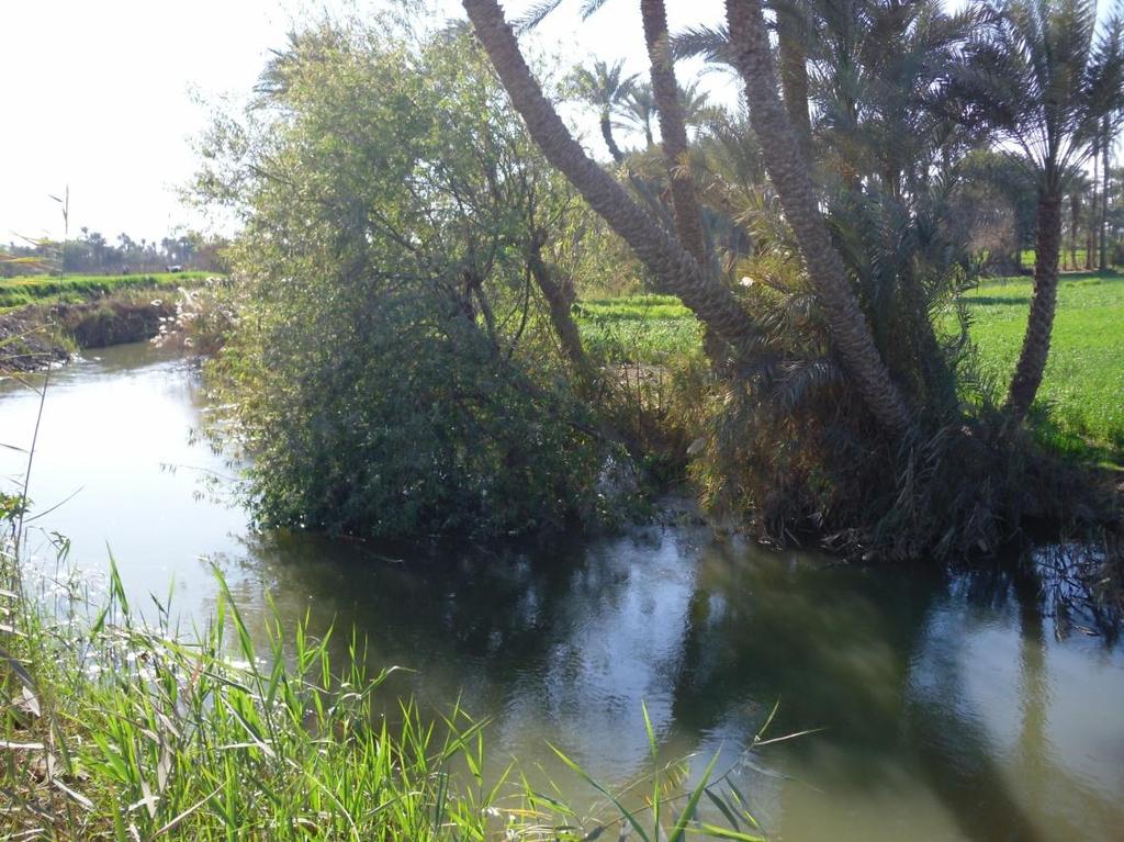
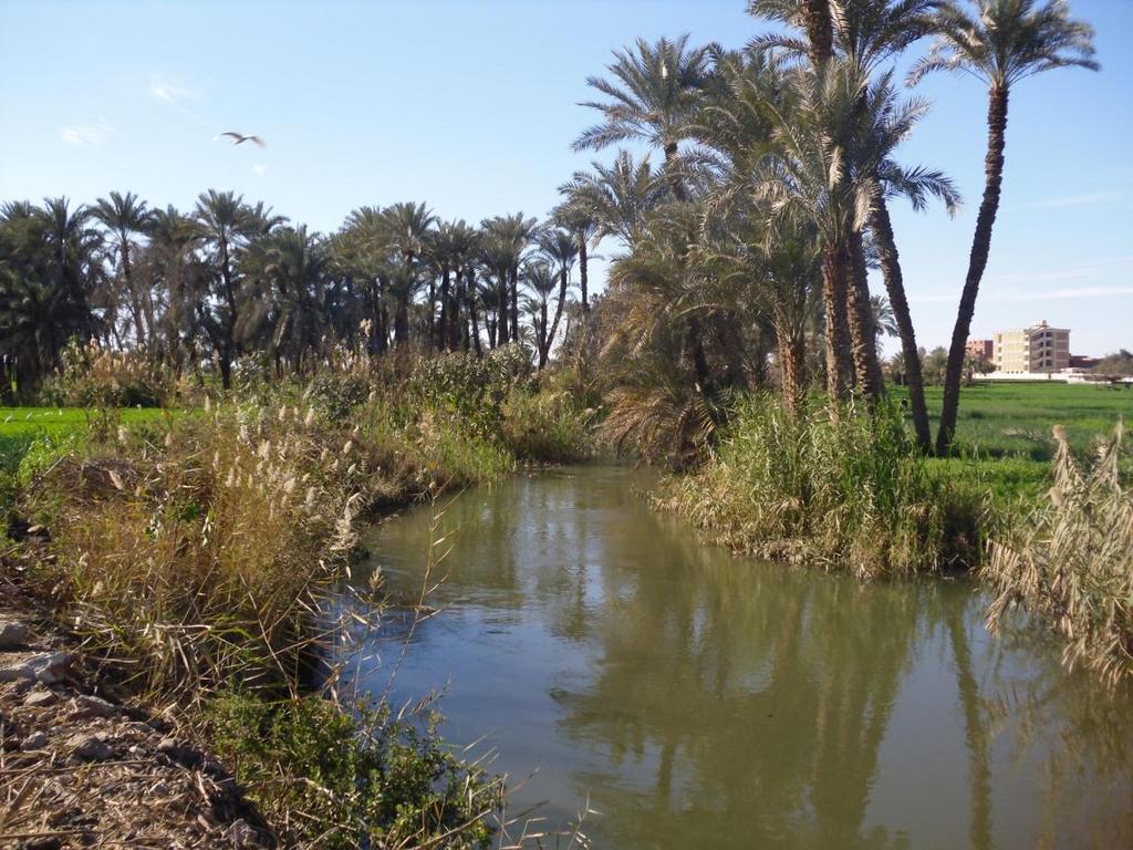
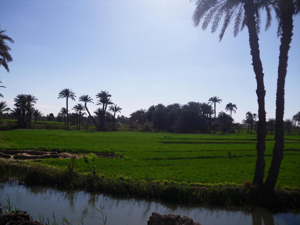
3 Introduction The recent challenges of water shortages, the competition for water and the increasing Egyptian strategic needs for pure water call for more efficient water management and to maximize the benefits from our limited water resources. Similar to the famous statement Egypt is the Gift of the Nile" as Herodotus said, we could add that Fayoum is the Gift of Bahr Youssef. Bahr Youssef is a natural branch for the Nile which connected to Fayoum depression during Paleolithic time. As a result of the connection with the natural Nile branch, it spreads its water through many meandering natural branches that still used as irrigation canals in inefficient ways. Large water volume is losing during transportation due to seepage, evaporation and also due to consumption of grasses growing on the banks of irrigation canals. In the current prospective study, we propose the possibilities of converting open irrigation canals to pipe lines in some selected areas at Fayoum Governorate. Also, the change of gravity irrigation to drip or sprinkler irrigation is investigated in some areas cultivated by crops.
4 Water budget in Egypt Water source River Nile Rainfall and Flash Floods Ground water(delta and Valley) Deep Groundwater Waste Water Reuse Agriculture Drainage Water Water desalinization Total Discharge (BCM/year)

5 Egypt Water Resources Milliard m 3 /Year
 2.8 0.9 0.8 0.75 0.")
6 Fresh Water/capita in Egypt Year Fresh Water Consumption Per Capita m 3 /yr Ratio to poverty limit (1000 m3/yr)
7 Objectives To increase the efficiency of water use in agriculture sector. To save water in order to mitigate the prevailing challenges of water shortage. To secure water for the strategic agricultural expansion plans.
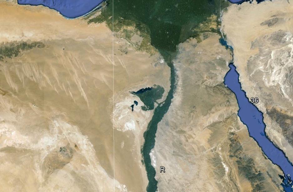
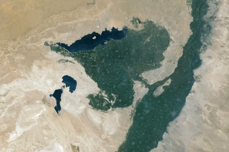
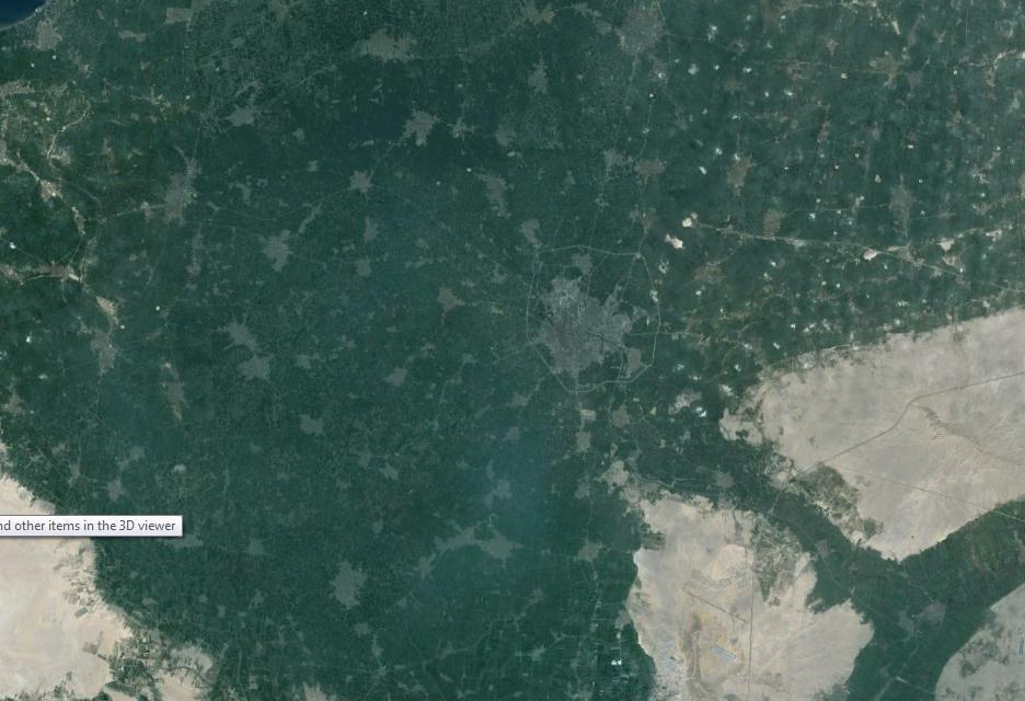
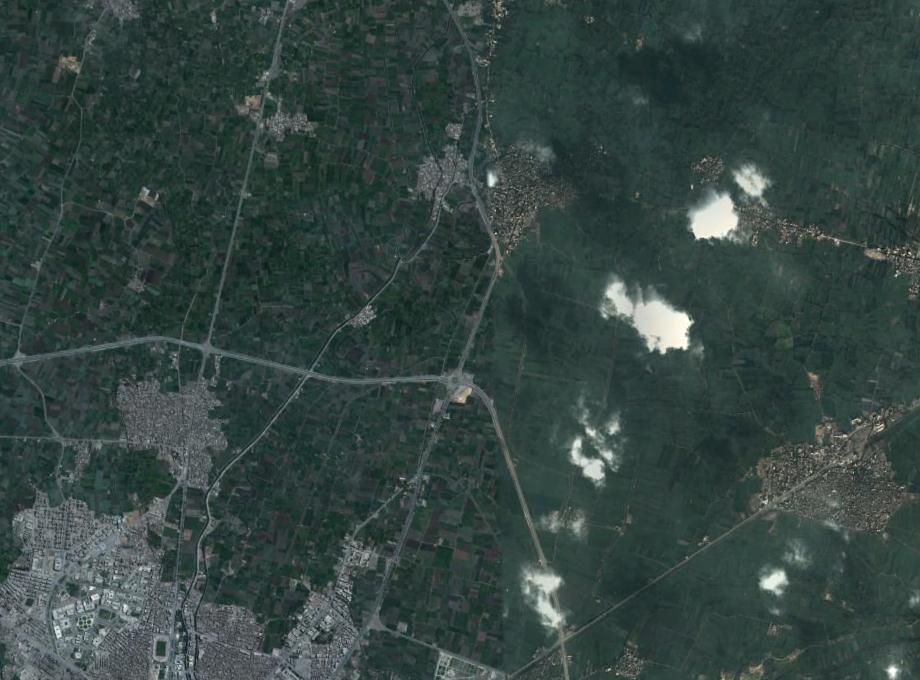
8 Description of the study area Fayoum is located about 100 km south-west of Cairo. It is looks like(oasis) in Western Sahara desert with an area by about 400,000 faddans (168,000 hectares). Soils are irrigated through Hassan Wasef Canal and Bahr Youssef from the Nile River that enter Fayoum from El-Lahon gap. A network of irrigation channels for the distribution of irrigation water to the farm area through elevations started from +25 m MSL at Fayoum City to -44 m MSL at Lake Qarun. Unlike to the whole Egypt, more than 80 percent of the irrigated area in Fayoum is irrigated by gravity irrigation.

9 Schematic lay-out of irrigation system in Fayoum Governorate


10
11

12


13
14

15

16 Area Acres
17 Profile No. Particle size distribution of the studied soil profiles. Depth (cm) Gravels % Coarse sand Particle size distribution% Fine sand Silt Clay Textural Class C C C S C L S C L S L
18 Bulk density, hydraulic conductivity, field capacity, wilting point and available water ranges in the studied soil profiles Profile No Depth (cm) Bulk density (g/cm 3 ) Hydraulic conductivity (cm/h) Field capacity % Wilting point % Available water %
19 The rate of seepage losses in millimeters/day from various soil types Sr. No Soil type Seepage water losses in mm/day 1 Sand Sandy loam Loam Clayey loam (8.75) 5 Loamy clay Clay (5.62) Source: ftp://ftp.fao.org/fi/cdrom/fao_training/fao_training/general/x6705e/x6705e02.htm

20 Tanhla irrigation canal Length=5905 m Estimated Pipe length=3244 m Elev south=21 m Elev north=17 m
21 Seepage estimation Area of the tested irrigation canal= m 2 Seepage in clayey areas= 208 m3/day Seepage in the clay loam areas= m3/day Seepage water in the small pilot study area can secure irrigation for additional Acres (up to 4.85% of the area) for the whole year.
22 Additional data Within the tested pilot study; converting Tanhla irrigation canal to pipeline will produce new soils with an area about 9.17 Acres (1.53% of the studied area). It was observed from the satellite images that aggregations of arable soils into big arable parcels could increase arable areas that were consumed as private roads/paths between parcels. Also, such aggregations could enhance the environment for modern machinery cultivation. Converting gravity irrigation (6000 m 3 /Acre ) to sprinkler (5000 m 3 /Acre) in the study area could save water to irrigate additional 120 Acres (20% additional soils). Converting gravity irrigation (6000 m 3 /Acre ) to drip irrigation (4500 m 3 /Acre) in the study area could save water to irrigate additional 199 Acres (33% additional soils).
23 Conclusions & Recommendations Converting the studied part of Tanhla irrigation canal to pipe line could save irrigation water for additional Acres (up to 4.85% of the area). Converting the canal to pipeline will increase the soils with area about 9.17 Acres constituting 1.53% of the agriculture land. Converting the gravity irrigation method applied in the study area to sprinkler/drip irrigation could save water for additional 20-33% of the cultivated area. Free Google maps and open source GIS software, could be adapted to be used successfully in water management studies. Aggregations of arable soils into big arable parcels could increase arable areas that were consumed as private roads/paths between parcels. Also, it will enhance the environment for modern machinery cultivation. It is recommended to evaluate the study proposal in a detailed feasibility study to investigate the potentiality of the proposal. In situ seepage measurement is recommended for future implementation studies.

24 Thank you for your time! Prof. Dr. Mahmoud M. Shendi Tel : mmshendi@yahoo.com mms00@fayoum.edu.eg