Ground truth. Or how to lie with maps?:
|
|
|
- Betty Logan
- 5 years ago
- Views:
Transcription
1 Harnessing the potential of remote sensing for tracking adoption of agricultural practices Ground truth. Or how to lie with maps?: Glenn Hyman International Center for Tropical Agriculture (CIAT)
2 Introduction Opportunities for using remote sensing to evaluate adoption and impact are expanding rapidly But huge challenges remain What are the developments or trends that are responding to these challenges? Ex-ante and ex-post impact assessment using remote sensing and spatial analysis

3 Ex-ante remote sensing and GIS tools and methods for evaluating adoption and impact


4 Targeting genotypes: targeting uses spatial analysis with land cover or land use derived from remote sensing Hyman, G., Hodson, D. and Jones, P., Spatial analysis to support geographic targeting of genotypes to environments. Frontiers in physiology,4. Annicchiarico,P., Bellah, F., Hand Chiai,T. (2006).Repeatable genotype x location interactions and its exploitation by conventional and GIS-based cultivar recommendation for durum wheat in Algeria. Eur.J.Agron. 24,
: 329-347.")
5 Global crop distribution models combine land use derived from remote sensing with production statistics and other spatial data SPAM Monfreda et al., Many others You, Liangzhi, and Stanley Wood. "An entropy approach to spatial disaggregation of agricultural production." Agricultural Systems 90.1 (2006):


 Area (%) Low 131,216")
6 Finding the sweet spot Where might alternate wetting and drying (AWD) systems be developed? Based on work from IRRI. Uses rainfall, temperature and radiation data from remote sensing 1st Semester 2nd Semester Colombia - Suitability Maps: Current Scenario Conservation Agriculture? Barrios et al. Manuscript in preparation Suitability Level Rice Farms Area (ha) Area (%) Low 131, Moderate 72, High 4,166 2 Suitability Level Rice Farms Area (ha) Area (%) Low 120, Moderate 64, High 16,034 8


7 Where could smallholders adopt water harvesting? Monserrate, Fredy, et al. "Aumentando la resiliencia climática en el occidente de Honduras: explorando fuentes de agua para pequeños productores rurales." (2016).
8 Ex-post remote sensing and GIS tools and methods for evaluating adoption and impact
, derived from")

9 Irrigation Thenkabail, Prasad S., et al. "Global irrigated area map (GIAM), derived from remote sensing, for the end of the last millennium." International Journal of Remote Sensing (2009):

10 Kayawa, Nigeria Natural resource monitoring-soil erosion LULC using remote sensing data ). a) Aerial photograph (3 December 1962) b) IKONOS (2 September 2000) c) QuickBird (29 December 2006) Junge, B., et al Use of remote sensing and GIS for improved natural resources management: case study from different agroecological zones of West Africa. International Journal of Remote Sensing. 31:23,

 in")
11 Slash and mulch agroforestry systems (Quesungual) in Central America


12 Remote sensing can identify agroforestry, but adoption is difficult to determine ZOMER, Robert J., et al. Global Tree Cover and Biomass Carbon on Agricultural Land: The contribution of agroforestry to global and national carbon budgets. Scientific Reports, 2016, vol. 6.


13 Courtesy of Muralli Gumma, ICRISAT. Tracking of NRM technologies Adoption of water harvesting structures Ahmed, I. et al., Land use and agricultural change dynamics in SAT watersheds of southern India. Current Science. 110(9):

 may indicate forest loss due to commercial")
14 Patterns derived from remote sensing in the Amazon Landscape metrics aggregated by 25km 2 cells - Finding: Consolidated pattern in Acre (BR) may indicate forest loss due to commercial agriculture -

15 Chickpea expansion in Andhra Pradesh, India Links image analysis to field surveys Gumma et al., Satellite imagery and household survey for tracking chickpea adoption in Andhra Pradesh, India. Int l Journal of Remote Sensing. 37(8):


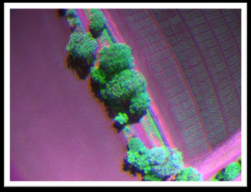
16 Drones Takeoff Landing
17 Other efforts and applications of RS for analysis of adoption No-till agriculture Residue and cover crop analysis Crowdsourcing (e.g. Geo-wiki)
18 Summary Irrigation, conservation agriculture, no-till agriculture, crop rotations, AWD are key applications Drones Very high resolution imagery Image analysis cannot capture the human intention part of the patterns that we see on the ground (e.g. Agroforestry) Crowdsourcing Combining image analysis with field survey
19 Thank you.