ArcGIS for State and Local Government: An Overview. Nikki Golding Scott Oppmann
|
|
|
- Kelley Gallagher
- 5 years ago
- Views:
Transcription


1 ArcGIS for State and Local Government: An Overview Nikki Golding Scott Oppmann
2 Agenda Introduction Why are we doing this? What are we doing to help?


3 ArcGIS as a Platform Knowledge Workers Executive Access Public Engagement Work Anywhere Enterprise Integration ArcGIS Professional GIS Making Mapping and GIS Available Across Your Organization Transforming the Role of GIS

4 Turning Point ArcGIS Online Solutions
5 ArcGIS for State and Local Government Solutions for Esri s government customers Series of useful maps and apps focused on government work Organized into modules Editing Workflows Focused Maps and Apps Analytical Models Extensible, configurable Freely available and fully supported A foundation for Partner solutions Community of users Best Practices / Implementation Support Network of Esri Services and Partner offerings Help users implement, sustain and enhance Information Model..Available on-premise or in the cloud


6 Our Mission To help you.. Deliver applications quickly throughout your organization Stay current with future releases / avoid legacy technology Create a platform of geospatial data that can be leveraged by many Leverage the collective knowledge of the entire community


7 Making an Impact More than 230K downloads Over a 140 downloads/day
8 Why are we doing this?


9 Common Goals healthy communities quality education robust public services diverse cultural opportunities safe communities sustainable environment smart growth thriving economy


10 Common Challenges Budget Doing More with Less Technical Breadth Support for Existing Systems Domain Expertise

11 Impact

12


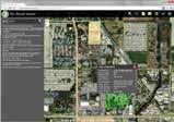
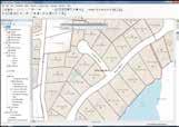
13


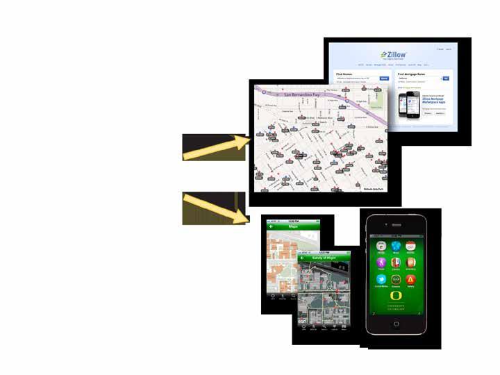
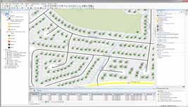
14 Impacting Our Lives
15 Common Experience

16 Common Experience

17 New Expectations


18 Relevant, Easy to Use
19 Discoverable
20 Show Me!
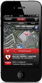
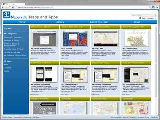
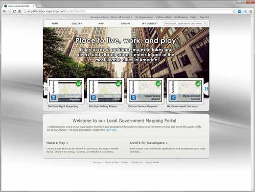
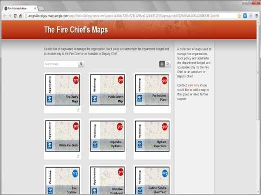
21 ArcGIS for Local Government Planning Park and Recreation Finder Land Use Public Comment Land Use Public Notification Community Planning Code Violation Public Works Public Information Center Campus Editing Campus Place Finder Citizen Service Request SnowCOP My Government Services Water Utility Network Editing Water Utility Capital Planning Water Utility Mobile Map Land Records Tax Parcel Editing Deed Drafter Tax Parcel Map Book Address Data Management Parcel Value for iphone Tax Parcel Viewer Value Dashboard Community Addressing Data Reviewer for Parcels Data Reviewer for Addresses Public Safety Flood Planning Special Event Planning Fire Station Wall Map Fire Run Book Pre-Incident Planning Target Hazard Analysis Fire Hydrant Inspection Cell Phone Analysis Public Safety COP Damage Assessment My Hazard Information EM Maps Elections Election Results Election Polling Places Local Government Information Model Basemaps Data Reviewer for Basemaps Executive Dashboard Maps and Apps Gallery Model Organization
22 ArcGIS for State Government DOT Traveler Information System (511)* Railroad Crossing Inspection* Right of Way Management* Crash Analysis Tools* NEPA (Environmental Review)* Environment Permit Processing Dashboard Permit Expiration Dashboard Permit Status Permit Inspection* License Location Locator Water Access Locator Wildlife Management Area Locator Environmental Impact Assessment* Trail Locator Model Organization Public Health Beach Monitoring Water Quality Monitoring Restaurant Inspection Restaurant Inspection Results My Health Services Assisted Living Facility Inspection* Birth Outcomes* Healthcare Atlas* Emergency Management Flood Planning Special Event Planning Pre-Incident Planning Target Hazard Analysis Common Operational Picture Damage Assessment My Hazard Information EM Maps Model Organization GIS/IT Economic Development Live, Work, and Locate* Site Finder* Model Organization Executive Dashboard Data Aggregation Patterns*


23 Our Approach What are we doing differently? 1. Identify strategic needs of organization 2. Focus on end user needs 3. Incorporate industry trends 4. Define our platform configuration 5. Develop and ship 6. Gather feedback and refine 7. Drive future ArcGIS offerings


24 The Community It s not just about the technology Destination where government s can collaborate Place where developers can contribute too Ongoing dialog to share success stories and learn from others
25 It s a Process Continuously Evolving Solution Offering New maps and apps Law Enforcement, Public Works, Economic Development, Transportation, Public Health, etc. Ongoing application updates Support for cloud services, smartphone support, new features, bug fixes, etc. Continued Community Engagement Meetups, videos, more help, expanded partner & professional services offerings, etc.
26 The Result Increased value from your GIS platform Made it easier to deploy the complete platform Addressed many common constraints in government Improved service delivery Better collaboration between Esri and the user community
27 Thank You


28