Accenture Aerial Monitoring Solution. For Electric Utilities and Oil & Gas companies
|
|
|
- Georgina Miller
- 5 years ago
- Views:
Transcription

1 Accenture Aerial Monitoring Solution For Electric Utilities and Oil & Gas companies
2
3 Accenture Aerial Monitoring Solution for asset intensive companies Companies which have a large asset base and operate field based plant and equipment are being driven to increase the performance and reliability of their assets, while reducing their operating and capital spend. Major challenges that such companies face include increased maintenance costs related to ageing equipment due to the required frequency of inspections and repairs. At the same time companies are aiming to reduce maintenance cost, improve service availability whilst also improving health, safety and environmental factors. Accenture s Aerial Monitoring Solution has been created to help our clients to achieve these multiple objectives. Using the latest digital technologies, it is possible to inspect equipment more frequently for a lower cost and to anticipate the need for maintenance before a component actually suffers a failure. The impact in terms of cost savings and improved service availability are considerable and at the same time there is a lower carbon footprint associated with the inspect and repair activities and reduced safety risks for client personnel. Our solution offers an end-to-end process from inspection to verification of repair for our clients. Unmanned Aerial Vehicles gather images of your assets. Data is transmitted to a secure repository where a range of advanced image enhancement and mathematical analytic tools are used to reduce vast amounts of data into small, user friendly reports. Simple, accurate information on actual issues and predicted problems are delivered to clients within a few hours of the images being captured to allow both reactive and predictive maintenance activities to commence immediately. Today using Aerial Monitoring Solution Accenture is helping Oil & Gas and Utility companies to reduce survey costs up to 30%, perform faster and safer inspections, improve control, mitigate risks and prevent accidents from occurring
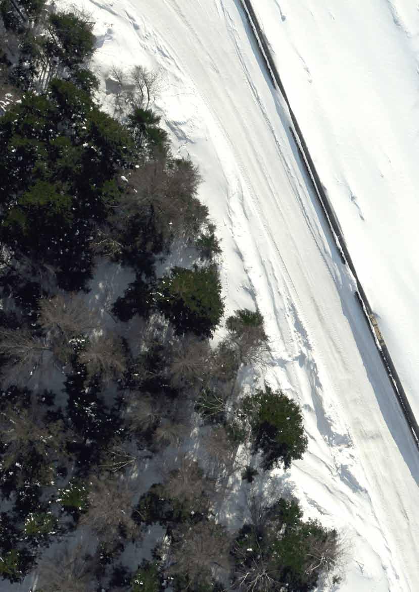
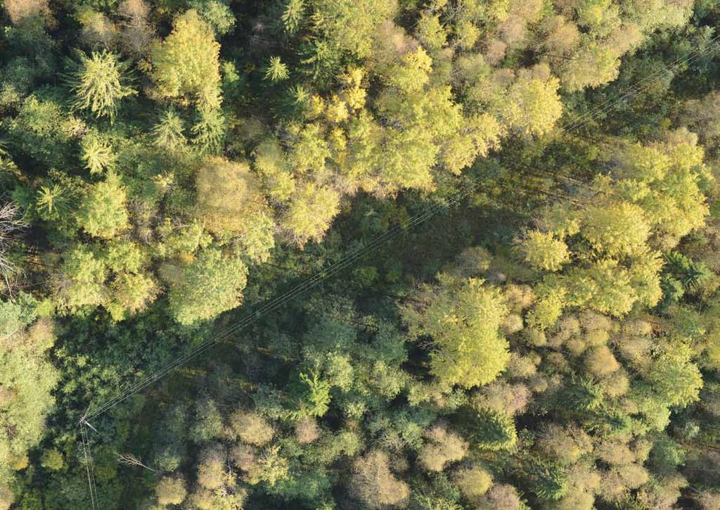
4 Accenture solution overview UAVs and Robotics Unmanned vehicles to reduce human error and increase efficiency Sensors and Cameras RGB, hyper-spectral, ultraviolet and infrared cameras and sensors, which enable automated data collection for analysis Artificial Intelligence and Processing power Real time alerting and further advanced risks identification with computer vision techniques and methods Predictive analytics Deep mathematical and statistical knowledge for predictive analytics Accenture s ability to deliver E2E solution Complete end to end service that integrates with clients processes and systems Figure 1. Accenture emerging technologies and abilities enabling the Solution Aerial management solutions are helping to generate immense business value across capital and asset intensive industries like Utilities (Power lines and Substations) and Oil & Gas (Pipeline and Offshore platforms). The need for more effective 24/7 operations and pre-emptive maintenance is making remote monitoring using UAVs a high value-generating proposition. We provide an end-to-end Accenture Aerial Monitoring Solution, leveraging the latest thinking in industrial usage of emerging digital concepts and technology innovation. The Accenture Solution outperforms current methods for survey lines and other linear objects (helicopter, car, on foot) in speed, quality and cost. Key differentiators include: Autonomous data gathering through sensors and robotics Higher quality due to automated analyses through analytics based on historical data Predictive maintenance through patented analytics Inspection performed by UAV systematically and regularly Faster detection of risks and issues and ability to predict failures before they occur Significant cost savings vs. helicopter survey and manual data inspection The overall solution makes use of UAVs to capture object photographs and videos, to apply Computer Vision and Machine Learning techniques and predictive analytics revealing key aspects like: Unauthorized access and works Negative effects of vegetation on surveyed assets Control and quality assurance over subcontractor work Tower tilting and line sagging Oil spills and leaks Corona discharge on power lines Area monitoring Equipment defects Other infrastructure conditions aspects
5 Client Client Asset Management Services Repair Crew Security Service 1 UAV gathers information of Client Assets Data gathering & preprocessing UAV Real-Time Notification Notification in case of security breach or equipment failure RGB Camera - Image/Video Infrared Camera Ultraviolet Camera Filtering and preprocessing Ground Station Unit 2 Collected data transferred for further analysis Client Operational team prepares work orders to be sent to Repair Crew Management analyzes data through dashboards Client systems and processes 5 Data integrated with Client system which generates work orders, analytical information & maintenance plans Data integrated with Client System 4 Analytics Cloud Preprocessing server to perform analysis on faults Data transferred to Cloud for predictive analytics Predictive analytics based on historical and statistical data 3a 3b Figure 2. Accenture Aerial Monitoring Solution Blueprint A typical work flow for Accenture Aerial Monitoring Solution is described below: 1. Client specifies and describes assets to be surveyed 2. UAV performs monitoring of the specified assets by gathering pictures and makes log files that contain information about the flight: longitude, latitude, height, time and route. In addition, real-time notification using on-board processing is available for transferring emergency information to the Client Asset Management Services 3. Data is automatically processed through a number of steps: 3D modelling visualizes infrastructure objects, allows to determine geometrical parameters of assets, helps to find and estimate probable risks. Orthophotomap reconstruction process combines photos, aligning them on content base. It gives the full picture of an object. 2D Image Recognition & Analysis module processes original pictures using computer vision, image recognition and machine learning techniques. Risk Analysis module combines image recognition results and depth maps from 3D-model,getting complete information on detected objects and evaluating risks. Derived information together with client historical and external (e.g. electrical standards) data allows us to perform predictive analytics. 4. Reports are created & Dashboards formed: Results are presented in the form of a table of risks with coordinates and other details such as risk statistics and map of the object with risk detected. A particular risk may be reflected on the map with drilldown to original pictures available. The integration with client ERP or GIS system may be performed 5. Client receives the report and makes management decisions or creates work orders to perform maintenance and repair activities.
6 How Accenture can help? Earlier identification of oil spills Real-time alerts of unauthorized access Up to 90% reduction in time spent on analyzing defects Up to 30% reduction in time spent on pipeline inspection Automatic work order creation Unmanned means no risk for the pilot Improved quality (1 pixel x 1 cm) of gathered data in comparison with satellite data and visual control means that more defects can be identified Survey assets in hard to reach locations Ability to identify unauthorized access and potential stealing of oil, refined products and electric power PROMPT SAFETY & QUALITY EFFECIENCY CONTINUOUS IMPROVEMENT Up to 50% cost savings related to asset repair Reduce environmental impact by identifying and mitigating oil spills Up to 30% cost savings on operating costs Up to 50% helicopter survey costs saving Reducing of oil, refined products and electric power losses Continued monitoring of assets builds an information database that allows the Accenture system to perform predictive analytics, including geomechanical issues forecasting New data analysis algorithms and data capture hardware allows us to identify more defects and helps to prevent future disaster and failures
7
8 About Accenture Accenture is a global management consulting, technology services and outsourcing company, with more than 358,000 people serving clients in more than 120 countries. Combining unparalleled experience, comprehensive capabilities across all industries and business functions, and extensive research on the world s most successful companies, Accenture collaborates with clients to help them become high-performance businesses and governments. The company generated net revenues of US$31.0 billion for the fiscal year ended Aug. 31, Its home page is Contacts Chris D. Magennis Managing Director, Resources Russia Lead chris.d.magennis@accenture.com Vadim Pestun Managing Director, Resources vadim.pestun@accenture.com Vladimir Nedashkovsky Sales Director, Emerging Technology Innovation v.nedashkovsky@accenture.com Copyright Accenture 2015 Accenture, its logo and High Performance Delivered are trademarks of Accenture.