GEOSPATIAL SDI PRODUCT BROCHURE
|
|
|
- August McBride
- 5 years ago
- Views:
Transcription


1 GEOSPATIAL SDI PRODUCT BROCHURE

2 2 Geospatial SDI
3 GEOSPATIAL SDI Geospatial SDI is an interoperable and scalable component of spatial data infrastructure for cataloging and delivering enterprise geospatial data over the web. It is designed for data providers that need to manage and serve secure or licensed information using standards-based web services. It offers powerful tools for controlled access to standards-compliant services and data published by those services, as well as tools for monitoring and reporting service performance. The product adheres to Open Geospatial Consortium (OGC ), INSPIRE, and International Standards Organization (ISO) standards for web services and metadata compliance. Geospatial SDI can easily extend solutions based on GeoMedia WebMap, ERDAS APOLLO, or any other vendor s OGC-compliant product to assure the full set of services required for implementation of custom secure Spatial Data Infrastructure (SDI). Geospatial SDI is offered within the Platform Suite of the Power Portfolio. The Platform Suite enables you to create your own unique application on top of a solid foundation of powerful geospatial functionality. Supported by robust toolkits, detailed instructions, and interactive developer communities, you can build custom web, mobile, and other smart enterprise solutions. 3 Geospatial SDI


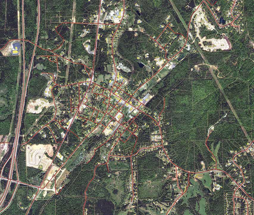
4 COMPATIBLE WITH ANY OGC-COMPLIANT CLIENT Notwithstanding secure access control, the objective is to enable ubiquitous communication via OGC standard interfaces. Therefore, at the simplest level, Geospatial SDI enables authentication using an IP address or IP address range. This provides compatibility with any client application adhering to OGC standards while, at the same time, ensuring secure access control. The Nature SDIplus project demonstrates a best practice network for SDI in nature conservation. This is the EU approach for nature management and recognizes the need for interoperable, accessible, and harmonized datasets. SECURE ACCESS TO OGC COMPLIANT WEB SERVICES In recent years, OGC Web Services have become the standard for the creation and exploitation of SDIs. However, OGC standards do not address secure access to these web services, which precludes their use for publishing protected or licensed data. Filling this functional gap represents a critical factor in determining the success of applying OGC interfaces to the delivery of spatial data infrastructures. For providers that need to manage and serve secure or licensed information using standards-based web services, Hexagon Geospatial offers Geospatial SDI, part of its comprehensive SDI solutions family. The product provides comprehensive web service support for these key secured and monitored OGC-compliant services: WMS, WFS, WCS and WMTS. Alternatively, or additionally, Vendor Specific Parameters (VSP) can be added on top of the base web service, with user and password information. This information can also be incorporated, as it often is, in the HTTP heading. Similarly, the IP address can be interpreted and revised by Geospatial SDI. The additional information provided by the VSP query is compatible with most OGC compliant clients, including all products in the GeoMedia family. EASY ANSWERS FOR WHO, WHAT, WHEN AND WHERE Geospatial SDI extends the services suite offered in GeoMedia WebMap with the standards-based CSW (Catalogue Service for the Web) service. This type of service is the primary tool for discovery, access, maintenance, and organization of catalogs of geospatial metadata that describe data and related resources available within enterprise or public Spatial Data Infrastructure (SDI). The CSW service is compliant to both OGC specifications and the INSPIRE Implementing Rules for Discovery Services. Geospatial SDI enables configuring of user access permissions for the service instance, the dataset, feature class (WFS service) or layer (WMS service), and spatial area. In addition, an access permission may be granted to the user for a limited time (time period, weekday, time of day) and an IP address. The application is a web portal for state and regional planning purposes and it provides all stakeholders, including nonexperts, easy access, and visualization of spatial data through an intuitive interface. 4 Geospatial SDI
 initiative. It provides compatibility with any OGC compliant client, while at the same time ensuring secure access control.")
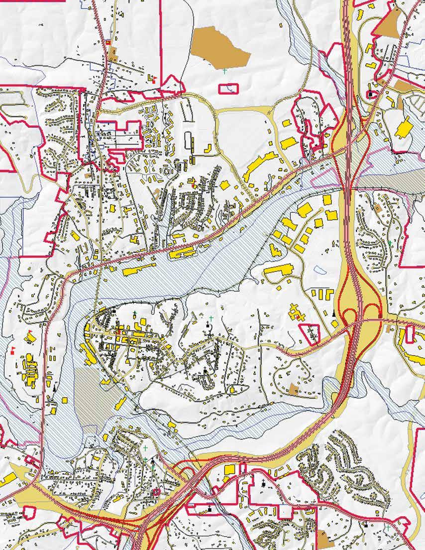
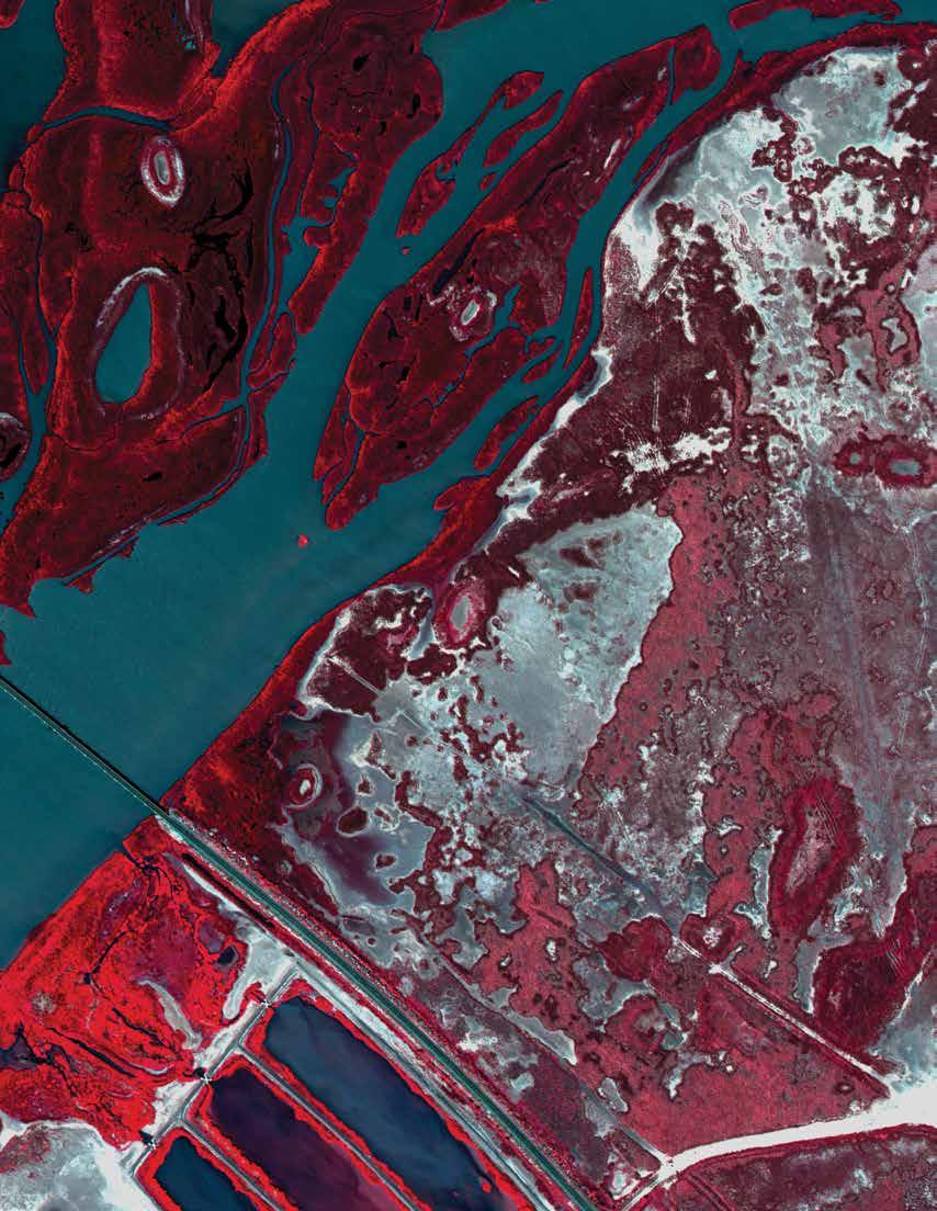
5 BASIS FOR INSPIRE IMPLEMENTATIONS Geospatial SDI implements the recommendations of the European INSPIRE directive, and supports building infrastructures for environment protection systems such as the one employed by the Global Monitoring for Environment and Security (GMES) initiative. It provides compatibility with any OGC compliant client, while at the same time ensuring secure access control. Geospatial SDI enables compliance to the INSPIRE implementing rules for the discovery (CSW), view (WMS, WMTS), and download (WFS) services. Extended INSPIRE metadata can be configured for the services making the good part of an INSPIRE-based SDI. FAÇADE ARCHITECTURE Geospatial SDI functions as a façade, providing a proxy over existing WMS, WMTS, WFS and WCS services. This architecture is also known as proxy OGC Web Service (proxy OWS), an intermediate component that allows and manages communication with OGC web services. The service user (client) communicates directly with the façade, which filters the request based on user rights (and/or other criteria) before passing it to the appropriate data services. The results can be served directly to the client or manipulated before return. This façade architecture also supports the use of web services from other providers. QUALITY OF ADMINISTRATION, CONFIGURATION, AND SERVICE CONTROL A web-based administrative console provides the means for creating and configuring all aspects of server-side engines, web services and web applications in one place. Web service instances for any type of service can be created, configured, and removed. Geospatial SDI also enables management and monitoring of published services. Advanced features include user-event logging and measurement of service performance. INTEGRATION WITH THE WIDER IT SYSTEM ENVIRONMENT Often, data providers own administrative databases, such as those used for e-commerce transactions. Geospatial SDI includes adapters that allow it to connect to existing administrative databases, avoiding the need to create and maintain redundant information. BEST-IN-CLASS, FULL SDI SOLUTION OFFERING Implementation of a spatial data infrastructure requires both server-side and client-side capabilities. Hexagon Geospatial s SDI strategy is to offer you a choice by providing best-in-class capabilities you can implement as a comprehensive infrastructure, as standalone components, or in conjunction with components from other suppliers, including open source providers. Geospatial SDI is part of Hexagon Geospatial s comprehensive SDI application, and may be used in conjunction with the Geospatial Portal product for finding, viewing, and querying geospatial data published with standard SDI web services. Together, the full solution complies with the European INSPIRE directive for building spatial data infrastructures, and supports building infrastructures for environment protection systems like GMES. CONNECTED SOLUTION Geospatial SDI extends compliance for any vendor s OGC-compliant product, to assure the full set of services required for implementation of custom secure Spatial Data Infrastructure (SDI). EASE OF INTEGRATION Geospatial SDI uses an open interface and ensures easy integration with other Hexagon Geospatial solutions as well as third-party external services. Modification of standard web services is not required, thanks to the use of vendor-specific OGC parameters and/or IP addresses. The City of Legnica is a town in south-western Poland, and their portal serves map-based information such as municipal boundaries, precincts, building footprints, addresses, and other data. 5 Geospatial SDI
.")

6 CONNECTED SOLUTION Geospatial SDI extends compliance for any vendor s OGC-compliant product, to assure the full set of services required for implementation of custom secure Spatial Data Infrastructure (SDI). The Shared Environmental Information System: Clean Air for Europe (SEIS-CAFÉ) Pilot was conducted to operationally test the feasibility for the exchange, reporting, and access to air quality data and information for Europe using INSPIRE services for, discovery, transformation, view, and download. POWER PORTFOLIO PRODUCT & INTERACTION PROVIDER SUITE Provides OGC (CSW ISO AP) and INSPIREcompliant discovery of catalog records on top of ERDAS APOLLO web services. Extends the services suite offered in GeoMedia WebMap with the standardsbased CSW (Catalogue Service for the Web) service. PLATFORM SUITE Extends the services suite offered in GeoMedia WebMap with the tools for controlled access to the standardscompliant services and implementation of custom Spatial Data Infrastructure. Extends the services suite offered in ERDAS APOLLO with the tools implementation of custom Spatial Data Infrastructure. 6 Geospatial SDI

7 7 Geospatial SDI
8 ABOUT POWER PORTFOLIO The Power Portfolio from Hexagon Geospatial combines the best photogrammetry, remote sensing, GIS and cartography technologies available. Flowing seamlessly from the desktop to server-based solutions, these technologies specialize in data organization, automated geoprocessing, spatial data infrastructure, workflow optimization, web editing, and web mapping. The Platform Suite enables you to efficiently build and deploy smart solutions that fit your needs. ABOUT HEXAGON GEOSPATIAL Hexagon Geospatial helps you make sense of the dynamically changing world. Known globally as a maker of leading-edge technology, we enable our customers to easily transform their data into actionable information, shortening the lifecycle from the moment of change to action. Hexagon Geospatial provides the software products and platforms to a large variety of customers through direct sales, channel partners, and Hexagon businesses. For more information, visit or contact us at marketing@hexagongeospatial.com. Hexagon Geospatial is part of Hexagon, a leading global provider of information technologies that drive quality and productivity improvements across geospatial and industrial enterprise applications. Hexagon s solutions integrate sensors, software, domain knowledge and customer workflows into intelligent information ecosystems that deliver actionable information, automate business processes and improve productivity. They are used in a broad range of vital industries. Hexagon (Nasdaq Stockholm: HEXA B) has more than 15,000 employees in 46 countries and net sales of approximately 3.1bn USD. Learn more at hexagon.com Hexagon AB and/or its subsidiaries and affiliates. All rights reserved.hexagon and the Hexagon logo are registered trademarks of Hexagon AB or its subsidiaries. All other trademarks or servicemarks used herein are property of their respective owners. Hexagon Geospatial believes the information in this publication is accurate as of its publication date. Such information is subject to change without notice.