ArcGIS for Emergency Management. Walter Potts Jeff Baranyi Nikki Golding
|
|
|
- Karen Bishop
- 5 years ago
- Views:
Transcription


1 ArcGIS for Emergency Management Walter Potts Jeff Baranyi Nikki Golding

2 Agenda Introduction Solution Offering What s Next? Your Feedback

3


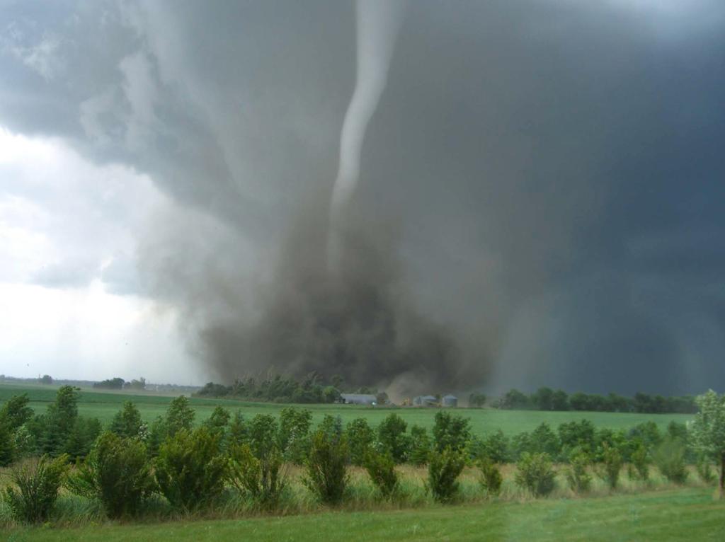
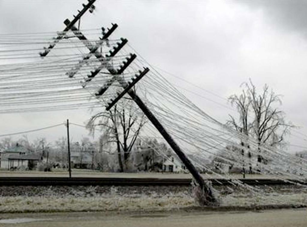
4 A common experience. Hurricane Sandy Southeast Tornadoes Standard Set of Base Maps Hard Copy Map Production Mobile Damage Assessment Common Operational Picture Public Access/Communication Apps Colorado Floods


5 ArcGIS as a Platform Knowledge Workers Executive Access Public Engagement Work Anywhere Enterprise Integration ArcGIS Professional GIS Making Mapping and GIS Available Across Your Organization Transforming the Role of GIS
6 EXTENDING THE PLATFORM WITH SOLUTIONS Ready to use workflows and apps that make implementation easier and sustainable. Desktop Web Device Basemaps Web Apps Analytical Workflows Models and Charts Web Centric Mobile Apps ArcGIS for Emergency Management

7 Our Mission To help you..

8 Preparedness Special Event Planning Flood Response Plans Floodplain Inquiry Emergency Assistance Evacuation Zones My Hazard Info Data Aggregation Tools Recovery Damage Assessment Citizen Service Request Response Citizen Service Request Emergency Management Maps Public Information Map Local Impact Map Road Closures Damage Assessment CAMEO Tools Incident Briefing Health and Safety Reports Damage Assessment Dashboard GIS/IT ArcGIS Online Model Organization Briefing Book Service Catalog Data Aggregation Tools Parcels Addresses Crowd Sourcing ArcGIS for Emergency Management

9 Demos

10 The Community It s not just about the technology
11 What s Coming in Emergency Management Situational Awareness - Series of maps & apps Hazard Mitigation - Series of maps & apps to support Assessing Risk, Vulnerability, and Mitigation Planning scenarios Pre-Incident Planning - Redesign to incorporate off-line/online updates on site - Updates/enhancements to support Emergency Management & Law Enforcement Special Event Planning - Redesign to support online workflows before, during, after event - Incorporate Pre-Incident layers - Updates/enhancements to support Emergency Management & Law Enforcement Pre-Staging Parcel data - Tools in Pro to help local emergency managers prepare for impending events
12 Emergency Management Platform Offering
13 Typical Emergency Management Organizational Chart Director s Office Public Information Grant Management Information Technology Mitigation Preparedness Response Recovery Training and Exercises Daily Operations Logistics
14 Emergency Management Workflows Hazards Threats Mitigation Track and fund projects Access Activation IT Governance Identify repeat offenders Projects to reduce risk Develop and maintain plans Preparedness Risk Assessment Daily Situational Awareness Briefing Change Awareness, Notification and potential impacts Daily Operations (blue sky) Incident assessment and understanding Coordinate operations Field Data Collection Maintain Situational Awareness Evacuation Sheltering Response Reentry Initial Damage CIKR Assessment Restoration Preliminary Damage Assessment IA/PA Status Recovery Joint Damage Assessment Return to normalcy Debris Removal Project tracking Grants Awards Grant management Brief on agency activities Director s Office Media Activity Awareness Public Information Public Synthetic Exercises / Training Training & Exercises Exercise AAR Development
15 Standard Platform Deployment: Technology: ArcGIS Online Subscription ArcGIS Desktop Credits Services: ArcGIS Online Launch Kit for Emergency Management Advanced Platform Deployment: Technology: Portal for ArcGIS ArcGIS for Server Extensions for Server ArcGIS Online Subscription ArcGIS Desktop Credits Services: ArcGIS Online Launch Kit for Emergency Management Portal for ArcGIS Jumpstart Kit ArcGIS for Server Jumpstart Kit Enterprise GIS Health Check Managed Services Data Review Workshop Ongoing EEAP Support Emergency Management Platform Offering- Standard Platform Offering Desktop Web Device ArcGIS Server Portal Online Content and Services Launch Kit for Emergency Management: What you get: 1. AGOL Organization Configuration Install and configure components of Esri s commercial off-the-shelf software to enable the platform. 2. Foundational Emergency Management Info Product Configuration Configure and share priority information products and apps for Emergency Management stakeholders and the public. This includes advice on how to maintain products over time. Overview of Hazards Briefing Book Special Events Plan Watch Officer Dashboard Situational Awareness Briefing Situational Awareness Presentation Incident Map Initial Damage Assessment Public Information Map 3. Technology Transfer Review value of information products and recommend next steps for additional information products. Building story maps to support briefings and for public engagement ArcGIS Platform functionality primer for GIS analysts
16 Mitigation: Information Product(s): Overview of Hazards Briefing Book Technology: Story Map Journal Services: Configure web maps and Story Map Journal Preparedness: Information Product(s): Special Events Planning Map Special Events Operations Dashboard Technology: Web map Operations Dashboard Services: Operationalize planning information and configure Daily Operations (blue sky): Information Product(s): Watch Officer Dashboard Situational Awareness Briefing Situational Awareness Presentation Technology: Operations Dashboard Story Map Journal Web map presentation mode Services: Configure information products Emergency Management Offering IOC ArcGIS Desktop Operations Dashboard Esri Maps for Office Desktop Web Device ArcGIS Server Portal Story Map Journal Public Information Map Collector for ArcGIS Explorer for ArcGIS Online Content and Services Response: Information Product(s): Incident Map Initial Damage Assessment Web Map (for Collector) Initial Damage Assessment Operations Dashboard Technology: Collector Operations Dashboard Services: Configure information products Public Information: Information Product(s): Public Information Map Technology: Public Information Map Services: Building story maps to support briefings and for public engagement

17 Esri Disaster Response Program
18 Esri Disaster Response Program Global response Corporate citizenship Support affected organizations

19 DRP provides Software, data, maps Expertise/Remote support - Premium tech support On-site help


20 Standard sites / products (aka dial tone services ) disasterresponse.maps.arcgis.com ArcGIS Online for organization account Live feeds Apps - Public information maps - Impact summary maps - Example web maps Open data


21 How to make a request? Pick your Disaster Type Click the Request Assistance Form Fill out the form - Contact details - Request - Software - Data - Technical support and project services
22 Top ten information products 1. Public Information Map 2. Impact Summary Map 3. Story Map Tour 4. Pre & Post Event Imagery 5. Mobile Data Collection 6. Planning Maps 7. Situational Awareness 8. Information Sharing 9. Briefing Presentation 10. Story Map Journal
23 Thank You
24 Thank you Please fill out the session survey: Offering ID: 1745 Online Paper pick up and put in drop box UC App ArcGIS for Emergency Management


25