The future role of Geotechnical data in the BIM process. Nicholas Nisbet buildingsmart UK and AEC3
|
|
|
- Linda Reed
- 5 years ago
- Views:
Transcription

1 The future role of Geotechnical data in the BIM process Nicholas Nisbet buildingsmart UK and AEC3

2 Delivering the Industrial Strategy % lower costs 50% lower carbon full prediction/evaluation cycles self-maintaining, self-monitoring, automation true nd value engineering 50% faster delivery efficiency, collaboration, lean pull. modern methods of construction, offsite automated design/reuse/construction 50% improvement in exports skills, products, services self-maintaining, self-monitoring, automation


3 Why data not documents? Strategic: Interoperability» One format, many paths Management: Checkability» One input, many checks Authoring: Re-usability» One input, many outputs

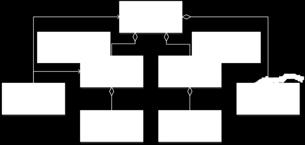
4 Three Key Standards BIM is about sharing structured data. IFC Information for Construction What information can be re-used. Includes designs, processes, resources, participants. IFC STEP files and IFC XML files define portable file structures. IDM Information Delivery Manuals How specific required information exchanges can be documented. How to capture your requirements for application developers to meet. Integrates with workflow management IFD International Framework Dictionary Catalogues terms and concepts. Includes multiple languages Includes proprietary dialects such as Revit-speak, Bentley-speak
5 IFC Overview physical Facility Site Project address intervention

6 Shape (explicit) Shape (extrusions) beams, pipes, ducts, walls etc. Shape (topology) line representations for pipe, duct, etc. Building Elements wall, door, window, roof, stairs, etc. HVAC Equipment chillers, fans, pumps, boilers, coils, cooling towers, heaters, heat exchangers, etc.. Spaces, Space Structure space, storey, part, building, site Zones, Compartments fire, workstation, rising ducts, shafts IFC Electrical Elements transformers, motors, generators, switches, protective devices, power and communication outlets panels, cubicles Sanitary Elements WC s, urinals, baths, bidets, traps gulleys Fire Protection Elements sprinklers, hose reels, hydrants, wet/dry rising mains Furniture inc. system furniture Relations Between Elements holes, chases, voids, zones Structural analysis: structural members, boundary conditions, connections, supports, loads, etc. Structural Elements members, profiles, rebars, properties, joints, features, surface
![Boiler Preheater Valves Pump Set [Physical Association] Air Handling Unit Luminaires [Spatial](/docs-images/84/90840592/images/7-3.jpg "Association] and Systems piping, ducting, cable, structural Controls, Instruments sensor,")


7 Boiler Preheater Valves Pump Set [Physical Association] Air Handling Unit Luminaires [Spatial Association] and Systems piping, ducting, cable, structural Controls, Instruments sensor, actuator, controller, gauge, meter Grids Lighting fittings, rendering, photo-accurate lighting Manholes manholes, inspection chambers, access chambers, meter chambers, valve chambers Time Series time related events Constraints rules, specifications, requirements trigger conditions Environmental Impact embodied energy, CO 2 Draughting Holes and Bases holes, sleeves, packing, framing, upstands, vibration isolation Accessories brackets, drop rods, steel sections, bracket assemblies, screws, bolts etc. Asset Management maintenance history, inventories Help request, action, permit, warranty, operation


8 Name Title Name Title Name Title Name Title Name Title Name Title Name Title Name Title Name Title and Actors people, organizations, addresses 30 Connectivity services, structure, building Costing cost planning, estimates, budgets, whole life Work Plans and Schedules inc. nested schedules, resource allocation Orders work orders, change orders, purchase orders External Data Geographical Elements features, contours, regions Coordinate Mapping geodetic, cartesian Civil Element Generic civil element Spatial Zone Generic infra region Classification Omniclass Uniclass Associated Documents


9 Infrastructure and Environment Ports and Harbours Metocean Alignment


10 Alignment

11 KICT Roads
")
12 Bridge (CSTB)


13 IFC Shield Tunnel Detailed model of Strata Shield Machinery

14 By gradient direction Sloping: blue Flat: turquoise landxml mapped _fromlandxml to IFC rendered by Tekla BimSight

15 By facing direction South: yellow Flat: turquoise landxml mapped _fromlandxml to IFC rendered by Tekla BimSight

16 Borehole TP501 1st strata Topsoil 0.100m AGS Attribute Terms Mapped _fromags2015 to IFC Rendered in Tekla BimSight


17 Borehole BH06 3rd strata Embankment fill 0.100m Spreadsheet enhanced to BS5930:1999 Mapped _fromspreadsheet to IFC Rendered in UNN Xbim Xplorer

18 Clayey loam Silty clay loam 1/3 Sand, 1/3 Clay, 1/3 Silt 1/6 Sand, 1/3 Clay, 1/2 Silt
19 Working with BIM Formalise and adopt use of : IFC (step, IFCxml, IFCowl)? GEMINI 2 metadata? BS 5930 Thank you, any questions?