Low Density Housing. Development Control Plan
|
|
|
- Darren Melton
- 5 years ago
- Views:
Transcription

1 Low Density Housing Development Control Plan
2 INTRODUCTION PREAMBLE This Development Control Plan (DCP) applies to housing development on land zoned Residential 2A (Low Density) under Coffs Harbour City Local Environmental Plan 2000, except within the villages of Nana Glen, Coramba, Ulong and Lowanna. This Plan relates to development for single dwelling houses, dual occupancy and multi-unit housing. This Plan came into force on 20 April AMENDMENTS This Plan was amended on: 27 September 2003; 7 February 2008; and 6 May OBJECTIVES The controls in this DCP seek to: encourage innovative housing which is pleasant to live in, relates to the desired future neighbourhood character, is responsive to the site and is environmentally sensitive; and improve the quality and choice of housing and residential environments to suit the diversity of people s needs and to meet community expectations about health, safety and amenity. PROCEDURES Single dwelling houses, dual occupancy and multi-unit housing require the approval of Council. Approval is sought through the lodgement of a development application. Applicants should follow the step by step procedures shown in the procedures flow chart. PROCEDURES FLOW CHART Step 1 Undertake Site Analysis (refer page 2) Step 2 Consult Council Staff on draft proposal if necessary Step 3 Check proposal meets controls in this DCP If subdivision is also proposed obtain subdivision DCP Step 4 Check Environmental Constraints Maps for: Koala Habitat Contaminated Land Bush Fire Hazard Acid Sulfate Soils Obstacle Height Limit Aircraft Noise Heritage Items/Areas Step 5 If development is within the following areas check relevant Information Sheets/DCPs: Jetty Area Moonee North Boambee Valley North Bonville Boambee Creek West Coffs Acid Sulfate Soils Bush Fire Hazard Step 6 Proponents should consult with adjoining owners consider their opinions on proposal Step 7 Consult with Council s Technical Liaison Committee or staff if necessary Step 8 Lodge development application with Council Where approval granted Step 9 Commence work in accordance with conditions of approval LOW DENSITY HOUSING DEVELOPMENT CONTROL PLAN PAGE 1
3 HOW TO USE THIS DCP Applicants are to comply with the controls unless it can be demonstrated that an alternate solution to all or any of the controls will provide for an equivalent or better response to meeting the objectives of this DCP. SITE ANALYSIS Site analysis is required to identify opportunities and constraints for building. A site analysis plan (at scale 1:200) is to include: site dimensions (length, width); spot levels or contours; north point; existing site drainage; any contaminated soils or filled areas; services (easements, utilities); existing trees (height, spread, species); views to and from site; prevailing winds; and surrounding development (where three or more dwellings proposed). SITE ANALYSIS Cool summer breeze N Winter sun path 20m Good views Neighbour s Living Space overlooks 35m Significant trees Requires privacy Poor privacy Neighbour s Living Space overlooks Street trees 6M setback line Street trees Cold winter wind Major Road Continuous vehicular noise DESIGN RESPONSE Provide trees for privacy Outdoor living to North Retain significant trees No windows to avoid overlooking N Living spaces 6m setback line Trees will reduce noise LOW DENSITY HOUSING DEVELOPMENT CONTROL PLAN PAGE 2

4 CONTROLS DENSITY Density is not to exceed one dwelling per 400m 2, not including the area of any access handle or internal driveway. For lots fronting a cul-de-sac head the density is one dwelling per 500m 2. Lots fronting a cul-de-sac head A minimum area of 185m 2 is to be provided for each dwelling for landscaping. For dual occupancy development, the floor area of the proposed dwellings is not to exceed a floor space ratio of 0.4:1. This is indicated by the following diagram. Different density provisions apply in North Boambee Valley, Moonee, North Bonville and West Coffs; refer to North Boambee Valley or West Coffs Information Sheets or Moonee DCP or North Bonville DCP. For three or more dwellings the frontage of the property is to be at least 5.5m wide, so as to provide sufficient area to the side of the driveway for services such as water meter and mail box, as well as landscaping. For every additional dwelling over three, the width of the frontage of the property to the street is to be increased by 1m (i.e. four dwellings, frontage of 6.5m). Landscaping is that part of the lot not used for driveways, car spaces or buildings. Area B (1 st storey) Area A (2 nd storey) Area C (allotment) Area A + Area B Area C must not exceed The floor area is the sum of the areas of each floor of both dwellings excluding verandahs, all parking areas, storage sheds and the like. The floor area is to be measured from the outer face of the external enclosing walls. - The floor space ratio is the floor area of the proposed dwellings, divided by the area of the existing lot. LOW DENSITY HOUSING DEVELOPMENT CONTROL PLAN PAGE 3

5 Primary Road SETBACKS Buildings are to be setback a minimum of 6m from the front boundary. On corner lots buildings can be setback 3m from the secondary street boundary. Exceptions will be considered where, in the opinion of Council, the 6m setback cannot be practically achieved. 6m 3m GENERAL SETBACKS 0.9m 6m Buildings are to be setback 20m from creeks and major watercourses. Side and rear setbacks are 900mm from walls and 675mm to outer edge of roof gutter and eaves (see below for possible variations to these controls). Buildings can be built to side and rear boundaries (zero setbacks) where: - the building has maximum boundary wall height of 3m, unless matching an existing or simultaneously constructed wall; - satisfactory legal arrangements for maintenance of boundary walls are in place; - there is no adverse impact upon the amenity of the adjoining properties; - there is no interruption to overland drainage paths; - should only occur on southern boundary; - there are no openings in the boundary wall; and - the wall is of fire rated masonry construction. Secondary Road ZERO SETBACK 3.0m Boundary No windows or openings LOW DENSITY HOUSING DEVELOPMENT CONTROL PLAN PAGE 4
, except in the Corindi/Red Rock region (as shown on the map) where buildings are not to exceed 8.5m in building height.")
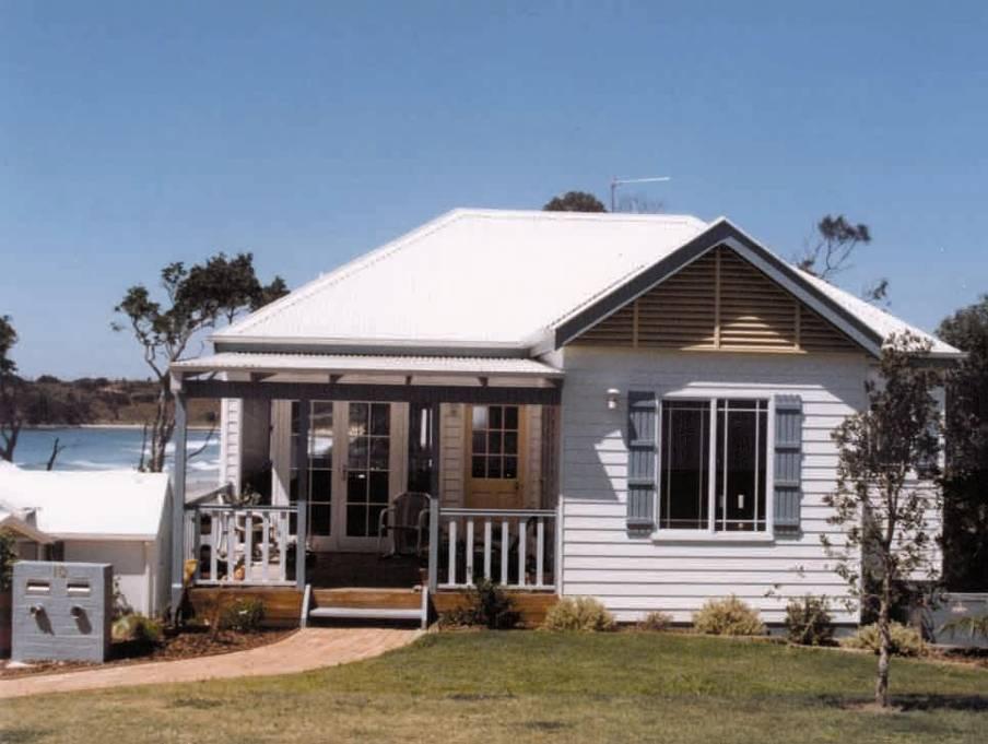
6 DESIGN Buildings should be designed so as to be compatible with the desired future neighbourhood character of the area. Buildings are not to exceed 6m in height (no more than two storeys), except in the Corindi/Red Rock region (as shown on the map) where buildings are not to exceed 8.5m in building height. Height means the distance measured vertically from any point on the eaves/gutter line of the building to the natural ground level immediately below that point. In Corindi/Red Rock Building height is the height of the building or structure above natural ground level (NGL) at any given point. It varies across the building being lower at the eaves and higher towards the ridge. Make the design of buildings interesting and livable by incorporating some or all of these elements: - decks; - pergolas; - verandahs; - eaves; and - climate control windows (i.e. louvres or small windows, selected glass). Use pier or pole construction on slopes in excess of 20%. A maximum of 1m cut or fill is allowed outside the buildings external walls. Buildings are to be designed to enhance the streetscape, by eliminating blank, featureless walls. DESIRABLE DESIGN FOR DUAL OCCUPANCY NGL Garages/parking areas do not dominate the streetscape Street Driveway widening to front of the allotment Entry facing the street Corindi/Red Rock Building Height inclusion area LOW DENSITY HOUSING DEVELOPMENT CONTROL PLAN PAGE 5
7 Buildings should allow for some outlook to streets, lanes or other public space areas to increase surveillance and thereby provide for a safer environment. Minimise direct overlooking of living areas and private open space of other dwellings. Building design should be of an appropriate scale to the existing streetscape. Garages and parking structures are to be sited and designed so as not to dominate the street frontage. Where dual occupancy development is proposed and both dwellings will have frontage to the street, the dwellings are not to be mirror reversed. SOLAR ACCESS Buildings design shall allow for at least two hours of sunshine upon the living areas of adjacent dwellings and open space areas between 9.00 am and 3.00 pm on 22 June. Where the possibility of overshadowing may occur, shadow diagrams are to be submitted to illustrate the shadows cast by the proposed building at 9.00am, noon and 3.00pm on 22 June. BASIX (Building Sustainability Index) All applications for residential developments require a BASIX compliance certificate. To obtain a BASIX Certificate To carry out a BASIX assessment, applicants need to complete an on-line assessment at HEIGHT 6m Mirror reversing: unacceptable design solution Fencing is not to be located along a boundary adjoining public land unless it is no greater than 1.5m high, and includes either an adequate setback for landscaping purposes, or recesses for this same purpose. This includes the secondary setback on corner allotments. CONFORM WITH STREETSCAPE Council is not bound to enforce S88B instruments in private matters such as density and developer preferred building materials. Safer By Design Development proposals need to address Safer By Design requirements to promote community surveillance and minimise crime opportunities, by using design examples such as: provision of views over public open space areas from living areas; provision of casual views of common internal areas such as entrances, hallways, car parks and communal open space; window locations and/or balconies; separate entries and courtyards to ground level apartments; a clear definition between public and communal space; and provision of appropriate lighting to all communal areas. LOW DENSITY HOUSING DEVELOPMENT CONTROL PLAN PAGE 6
8 ENVIRONMENTAL CONSTRAINTS Special controls apply to areas that are subject to environmental constraints. These constraints relate to: - koala habitat; - acid sulfate soils; - contaminated land; - flood prone land; - tree preservation order; - bush fire hazard; - obstacle height limit; - aircraft noise; and - heritage. Refer to the following information sheets were relevant: - Koala Habitat Information Sheet; - Acid Sulfate Soils Information Sheet; - Contaminated Land Information Sheet; - Flood Prone Land Information Sheet; - Fire Hazard Information Sheet; - Obstacle Height Limit Information Sheet; and - Heritage Information Sheet. The constraints maps can be viewed at Council. Private open space (including swimming pools) is not to be located at the front of a development adjoining a public road, unless details of satisfactory fencing are included with the proposal (see also fencing under heading Design, page 5). 50m 2 40m 2 90m 2 90m 2 90m 2 N PRIVATE OPEN SPACE Each dwelling is to have private open space with direct connection to indoor living areas through sliding glass doors or other similar openings. This space should ideally be oriented to provide for maximum year round use. A minimum of 90m 2 is to be provided for each dwelling and, preferably, be provided in one area. Consideration may be given to the division of this area into two, with the smallest portion being no less than 40m 2. Each open space area is to have a minimum dimension of 4m and a ground slope not greater than 1 in 8. Dwellings are not to unreasonably compromise the private open space of nearby dwellings. VEHICLE ACCESS AND PARKING Parking Car parking is to be provided behind the front setback at the following rate: Dwelling Type (Floorspace) Small dwellings ( 100m 2 ) Large dwellings (>100m 2 ) Parking Requirement per dwelling 1 space 2 spaces LOW DENSITY HOUSING DEVELOPMENT CONTROL PLAN PAGE 7
9 Car parking areas are to be incorporated into the building or provided at, or behind, the front setback of the building. Where more than one space is required one parking space is allowed between the dwelling and the front boundary. Parking spaces shall be designed in accordance with Australian Standard and Visitor/Overflow Car Parking Requirements for all Residential Development Visitor/overflow car parking is to be provided according to the following table: Number of dwellings Number of visitor/ overflow spaces required * 3 * and at a rate of one space per every five dwellings thereafter. Long driveways may require passing points (particularly on busy roads). Provision is to be made for vehicles to enter and leave the site in a forward direction, where the site is: - steep; - fronts a busy road; - has three or more dwellings on it; - subject to high pedestrian use; or - where driveways are more than 30m in length. Turning areas are to be designed to allow the 85% Design Car Turning Path. Driveways should have gradients less than 20% and the driveway grade should not change by more than 10% for every 1.4m of driveway (minimum lengths). DRIVEWAYS (3 OR MORE DWELLINGS) 2m Visitor/overflow car parking is to be provided within the development site. Visitor/overflow parking is to be behind the front setback and freely accessible at all times. Visitor/overflow car parking where proposed must be clearly detailed in the development documentation. 4.5m 6m For additional information on car parking provisions, please refer to the Off Street Car Parking DCP. Driveways For minimum lot frontages and width of battleaxe handles also refer Council s Subdivision DCP. To reduce the impacts of stormwater runoff, improve visual amenity, and maintain on-street car parking driveways is to be minimised. A driveway, which serves a maximum of three dwellings, is to have a minimum paved width of 2m. A shared driveway, which serves three or more dwellings, is to have a minimum paved width of 4.5m at the street, continuing at this width to a depth of 6m. DEVELOPER CONTRIBUTIONS Developer contributions are payable for any development creating two or more dwellings on one lot. Developer contributions are a monetary payment to fund increased demand for public facilities generated by the development. LOW DENSITY HOUSING DEVELOPMENT CONTROL PLAN PAGE 8
10 EROSION AND SEDIMENT CONTROL For proposals for three or more dwellings an Erosion and Sediment Control Plan is required to be submitted to and approved by Council prior to the release of the construction certificate; refer Erosion and Sediment Control on Building and Development Sites Policy and Code of Practice. For proposals for two or less dwellings the following is required: - three strips of turf parallel to, and against, the kerb; - coarse gravel to define a single construction access no more than 3m wide; - install sediment fence: along the road frontage immediately upslope of the turf strips or around the low side of the area of construction if the site slopes away from the road; around the low side of stockpiles; and with the ends of the fences turned upslope; - all stockpiles of topsoil, sand, aggregate, spoil, vegetation or other material capable of being moved by running water shall be stored clear of any drainage lines, easements or natural watercourses, footpath, kerb or road surface; - before roofing material is laid, temporary or permanent guttering and downpipes shall be installed and connected to an approved stormwater disposal system; and - all disturbed areas shall be rendered erosion resistant by revegetation or landscaping within four weeks of building activities being completed or suspended. SERVICES Water Meters A separate water meter is to be provided for each dwelling and is to be readily accessible to Council s meter reader. Water and Sewerage Services Where Torrens Title subdivision is proposed, separate water and sewerage connection from Council s mains is to be provided for each lot. Water and sewerage connections, where not available to a lot will require the extension of Council s mains to service that lot. Stormwater New trees Silt fence 4 Provide coarse gravel for temporary construction access 3.5 Topsoil stockpil Re-vegetate disturbed areas Turf strip 3m if sloping towards street ROAD All stormwater is to be directed to the street drainage system, or to an interallotment drainage easement where available. Surface water is not to be concentrated and directed to neighbouring properties. Stormwater to kerb connections are to be via kerb adapter units. House fencing should not obstruct overland flows of water. House floor levels must be at least 300mm above finished ground level. Interallotment drainage via easements may be required. Where land subdivision is proposed. LOW DENSITY HOUSING DEVELOPMENT CONTROL PLAN PAGE 9
11 Coffs Harbour City Council Cnr Coff and Castle Streets (Locked Bag 155) COFFS HARBOUR NSW 2450 Telephone: (02) Website: LOW DENSITY HOUSING DEVELOPMENT CONTROL PLAN PAGE 10