Soil Matters: Improving Forest Landscape Planning and Management for Diverse Objectives with Soils Information and Expertise
|
|
|
- Solomon McCoy
- 5 years ago
- Views:
Transcription
, US Forest Service, Region 6")
1 Soil Matters: Improving Forest Landscape Planning and Management for Diverse Objectives with Soils Information and Expertise Terry L. Craigg, Ph.D., Soil Scientist, US Forest Service Deschutes NF, Sisters RD Paul, W. Adams, Ph.D., Professor Emeritus, OSU Collage of Forestry Karen A. Bennett, Regional Soil Scientist (Retired), US Forest Service, Region 6
2 Objectives! Helping forest managers discover more expansive ways of using soil information in forest planning.! Inherent and dynamic soil quality concepts.! A conceptual framework for promoting soil relevance in forest planning.! Using the soil survey to better understand ecological complexity and develop ecologically based land management strategies for restoration.


3 Inherent Soil Quality Soil s basic capacity to perform different soil functions that support a variety of resource objectives. (Karlen et al. 2001)

4 Assessments of Inherent Soil Quality! Can be used as a planning tool to improve our understanding and assessment of land-use decisions.


5 Dynamic Soil Quality Reflects how the functional capacity of soils may be altered in response to natural or human caused disturbances. (Karlen et al. 2001)


6 Assessments of Dynamic Soil Quality! A tool used to evaluate the sustainability of different management practices.


7 A Conceptual Model for Promoting Soil Relevance during Forest Planning! It is recognized that the many complex concepts of soil quality can be difficult to organize and apply during forest planning. Craigg T.L., P.W. Adams, and K.A. Bennett 2015

8 Developing ecologically based land management strategies for restoration
9 Green Ridge Planning Area Deschutes NF, Sisters RD! A 2016 Out year planning project.! 24,690 acres located in the norther portion of the Deschutes NF, Sisters Ranger District.
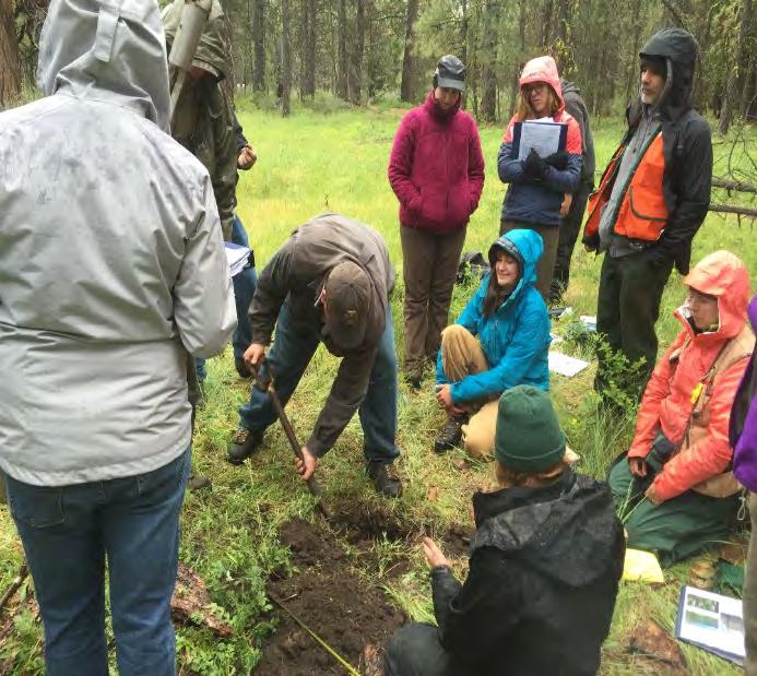
10 Upper Deschutes River Area Soil Survey! Completed in 2002 and covers parts of Deschutes, Jefferson, and Klamath counties. (USDA NRCS 2002)! Soil maps were developed at a scale of 1:24,000 and have been digitized in accordance with the Soil Survey Geographic (SSURGO) data standards. (USDA NRCS 2010)
11 Management Objectives Lower Metolius Watershed Analysis: Trends of Concern Forest Health Concerns Recent Wildfire Wildlife Habitat Watershed Hydrologic Function


12 Forest Health Concerns! Changes in forest structure, species composition, and high stand density levels leading to forest health concerns.

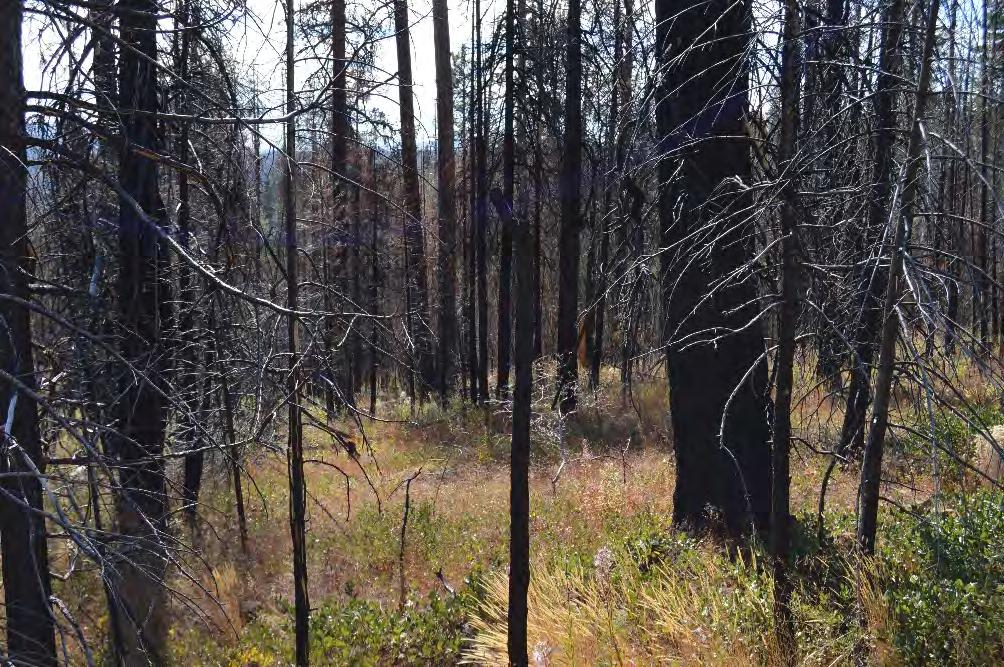
13 Recent Wildfires! High fuel loads and changes in fire behavior leading to increased risk and occurrence of wildfire.

14 Wildlife Habitat! The need to grow and maintain habitat for a number of wildlife Management Indicator Species. Northern Spotted Owl Habitat Mule Deer Winter Range


15 Watershed Hydrologic Function! An alteration of hydrologic function impacting perennial and intermittent stream flows.

16 Mixed conifer forest of central Oregon: Effects of logging and fire exclusion vary with environment Merschel, A,G., T.A. Spies and E.K. Heyerdahl. 2014

 Recent")
 Recent Grand fir")
")
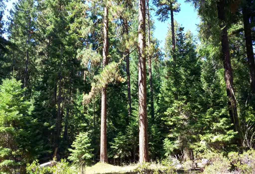
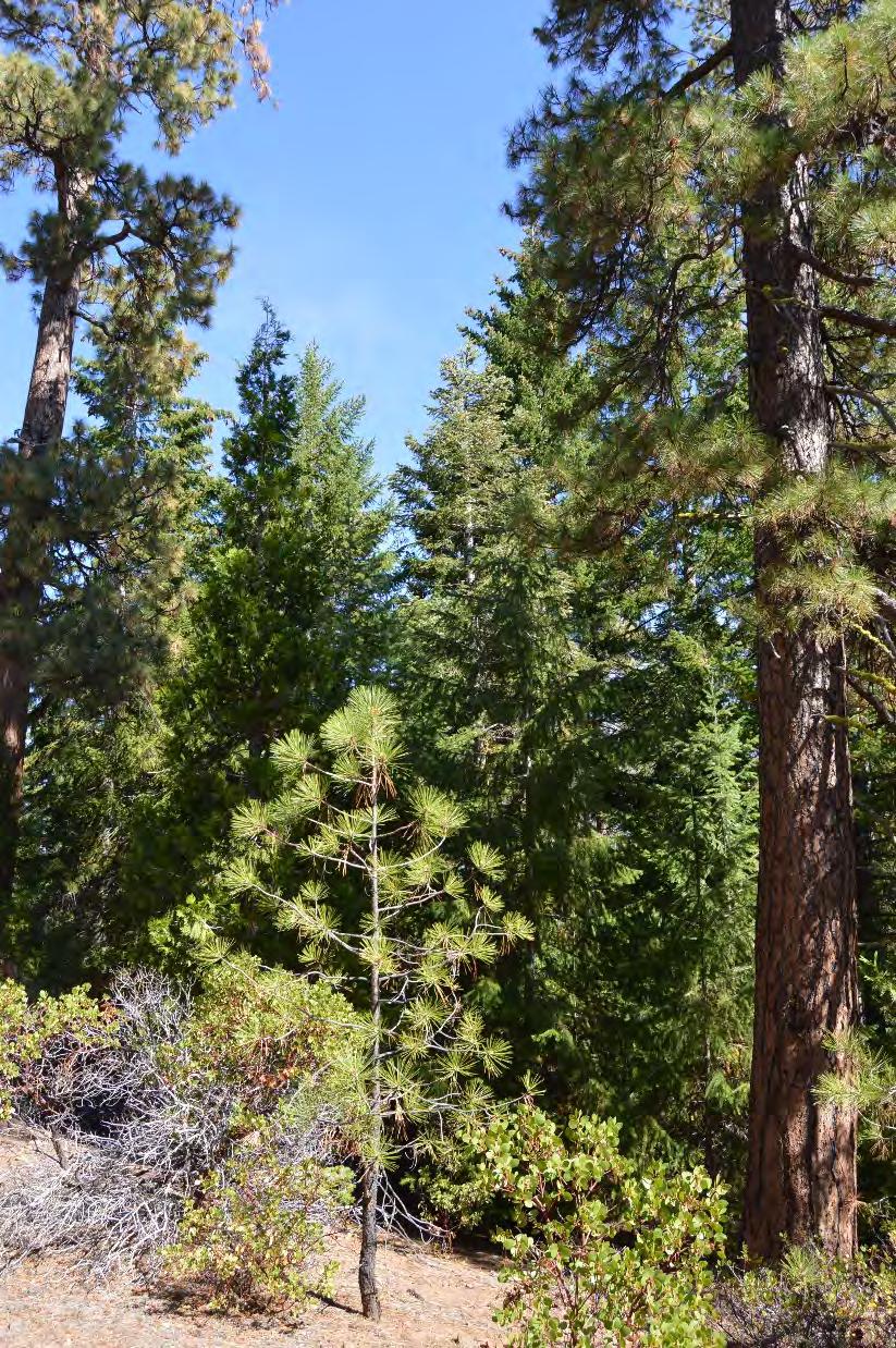
17 Mixed Conifer Forest Types and their Disturbance Regimes Persistent Shade Tolerant (cold/wet environments) Recent Douglas-fir (warm/dry environments) Recent Grand fir Persistent Ponderosa pine (warm/moist environments) (warm/dry environments)
18 Environmental gradients determining forest type and soil type Comparison of: Environmental gradients identified by Merschel et al., (2014)! Elevation! Topography! Climate and Five soil forming factors identified by Jenny H., (1941). (clorpt)! Climate! Organisms! Relief/Topography! Parent material! Time
19 Mapping Forest Types!"#$%!&'#&(% )*++&'%,&(-./0&(%!"#$%!/'1&2% 34435% I$7J&% I7+% P'7#'#&% T#9E&;"%!=#$#9;% >$7'=% P7''&;"% :."'=% % %6$&178"9% D79EF"'=%&$&178"9% K#;.&'%&$&178"9(%79E%$7';&% #9-#(&E%E'7#97;&(% D7';&%#9-#(&E%E'7#97;&(%79E%.#;.&'%&$&178"9%$717%+$7#9(% D7';&%#9-#(&E%E'7#97;&(%79E%.#;.&'%&$&178"9%$717%+$7#9(% D"H&'%&$&178"9%E'7#97;&(% 79E%$717%+$7#9(% D"H&'%&$&178"9%E'7#97;&(% 79E%U&E'"-V%$717%+$7#9(% D"H&'%&$&178"9%U&E'"-V% $717%+$7#9(% D"H&'%&$&178"9%'#E;&0"+(% 79E%("/0.%F7-#9;%E'7#97;&(% D"H&'%&$&178"9%'#E;&0"+(% 79E%("/0.%F7-#9;%E'7#97;&(% :"+";'7+.2% %,"=#9790% 7(+&-0%,"=#9790% ($"+&%-$7((% G%?&79% 799/7$% +'&-#+% )#9-.&(5% %<$#=70&% %!"#$% 0&=+% '&;#=&%!"#$% H70&'%."$E#9;% -7+7-#02% )#9-.&(5% >"'&(0%02+&% )?&'(-.&$%&0%7$@A%34BC5% % L"'0.% %BMNM4% %O4NOM%% <'2#-% 5 P&'(#(0&90%(.7E&%0"$&'790% %!"/0.%Q% 67(0% %!"/0.%Q% 67(0% %!"/0.%Q% 67(0% %4NO4% %O4NOM%% <'2#-% 8 R&-&90%;'79E%S'% %4NM4% O4NOM% <'2#-% 4 R&-&90%;'79E%S'% %O4NM4% 3MNO4% %>'#;#E% 6 R&-&90%,"/;$7(NS'% 67(0%% %4NM4% %3MNO4% %>'#;#E% 10 R&-&90%,"/;$7(NS'% 67(0%% %4NBM% %3MNO4% %>'#;#E% 10 R#+7'#79%!"/0.%Q%67(0%% %BMNO4% %34N3M% %>'#;#E% 3 P&'(#(0&90%+"9E&'"(7%+#9&%!"/0.%% %BMNM4% %34N3M% %>'#;#E% 2 W/9#+&'%H""E$79E%


20 Persistent Shade Tolerant Glaze soil series Recent Douglas-fir Smiling and Windgo soil series Recent Grand fir Prairie and Gap soil series Persistent Ponderosa pine Parrego soil series


21 Same Site Potential Recent Grand fir

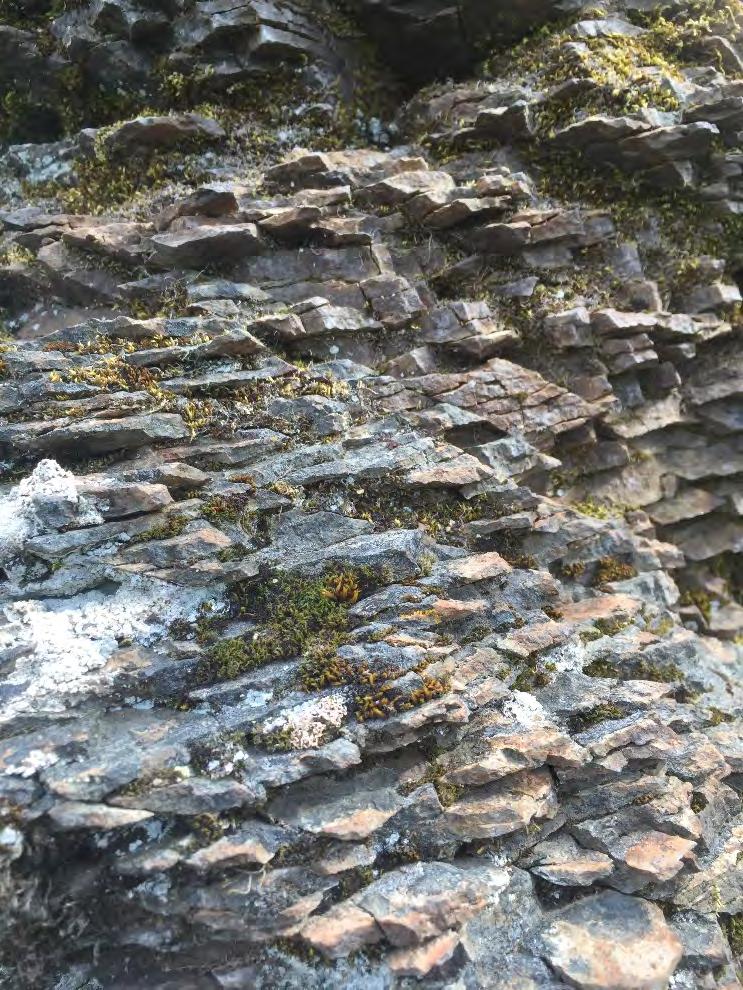
22 The need to grow and maintain important wildlife habitat Map Unit 56E Glaze-Prairie-Rock outcrop association, 30 to 50% slopes Persistent Shade Tolerant


23 Map Unit 99C Prairie-Gap complex, 0 to 15% slopes Prairie soil series

24 Alteration of hydrologic function


25
26 Thank you