ME DOT Orrington Bypass
|
|
|
- Sabrina Palmer
- 5 years ago
- Views:
Transcription
1 File No.: City and State: Hampden, ME ME DOT Orrington Bypass General Impacts: 2.2 acres palustrine forested, scrub-shrub, and emergent Functions and Values Lost: Groundwater Discharge Floodflow Alteration Nutrient Removal Sediment/Toxicant Retention Wildlife Habitat Year(s) Mitigation Constructed: July 1996 Size and Type of Mitigation as Proposed: 1.5 acres PSS 11 acres wetland preservation Proposed Functions and Values of Mitigation: Groundwater Discharge Floodflow Alteration Nutrient Removal Sediment/Toxicant Retention Wildlife Habitat Mitigation Special Condition(s): 3. The permittee shall implement a mitigation plan to compensate for the project s impact to 2.2 acres of wetlands. The preliminary details of this plan are described in the attached document entitled Preliminary Wetland Mitigation Plan, Route 15 Orrington By Pass, MDOT PIN 1844, dated January 1995 and revised May This plan involves the restoration of approximately 1.5 acres of disturbed wetlands and the preservation of approximately 11 acres of surrounding wetlands and upland buffers off Ichabod Lane at Hampden, Maine. Remarks: None Directions: Take I-95 north into Maine. Take to Route 69 east in North Newburgh. Take Route 69 east (or south) through intersection with US-202 to Meadow Road. Take left onto
2 Meadow Road. Pass Sawyer Road, Canaan Road, and Patterson Road on the left. Take left onto Ichabod Lane, which is just before Meadow Road meets Kennebec Road. Follow Ichabod Lane to the end. The site is to the left of the end of the road. It extends around to the left along the pond and up the other side. A trail winds through the site.
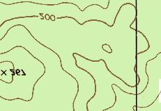
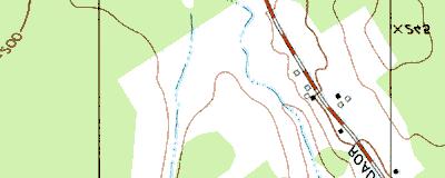
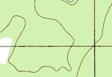
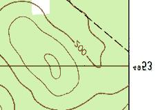
3 Street Atlas USA DeLorme. Street Atlas USA MN (17.9 W) TN Scale 1 : 23, ft m 1" = 1960 ft
 1997,")


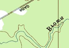

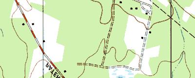
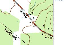


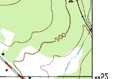
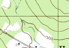


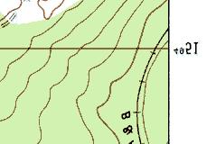

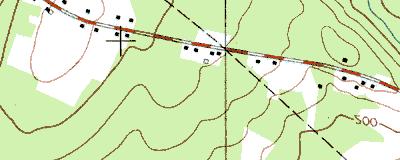

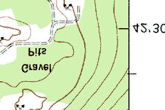
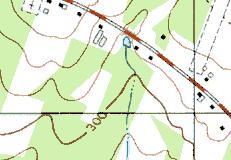
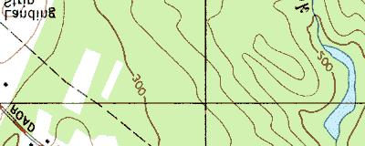

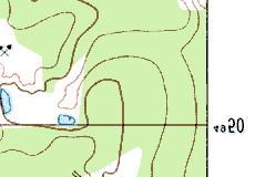

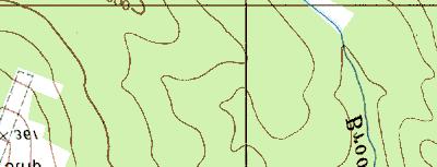
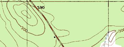
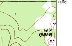
4 Copyright (C) 1997, Maptech, Inc. ME DOT, Orrington Bypass
5 MITIGATION SITE FIELD DATA FORM Site Name: ME DOT Orrington Bypass File No City/Town: Hampden State: ME Waterbody: Monitor(s): Ruth Ladd, Keith Wright Date: Was site constructed? yes Is site wetland? yes Size of proposed wetland: 1.5 acres Actual size of wetland: approximately the same Landscape position: lowland next to adjacent wetland Lat/Long Points: N W Saved GPS Waypoint name: Created site: OrrC Restored site: Orr-R1, Orr-R2 GPS Tracking Log Name: N/A Perimeter: TBD Surrounding land use: Upland trees surround created site, natural wetland and a pedestrian path surround the restored site. Is wetland function compromised by surrounding land use? Mowing of the pedestrian path cuts into the wetland. Plant health: The restored site has healthy plants except for the Alnus rugosa, which was infested with caterpillars. The created site had 20% of its surface characterized by bare patches. Invasive species: Lythrum salicaria in both sites Wildlife use: Grasshoppers, pickerel frog, deer prints Page 1 of 2 Plants: Created site: Acer rubrum Agrostis gigantea Alnus rugosa Aster umbellatus Betula populifolia Carex sp. (ovales) Erigeron sp. Euthamia graminifolia Juncus effusus Juncus spp. Leersia oryzoides Lotus corniculatus Lysimachia terrestris Lythrum salicaria Mimulus ringens Plantago sp. Scirpus cyperinus Solidago sp. Trifolium pratense Typha angustifolia Verbena hastata Restored site: Acer rubrum Achillea millefolium Alisma sp. Alnus rugosa Aster umbellatus Betula papyrifera Betula populifolia Celastrus sp. Cornus amomum Eupatorium perfoliatum Euthamia graminifolia Galium sp.
6 Hypericum sp. Ilex sp. Impatiens capensis Lotus corniculatus Lysimachia terrestris Lythrum salicaria Onoclea sensibilis Phleum pratense Picea sp. Polygonum arifolium Populus tremuloides Salix spp. Scirpus cyperinus Scirpus sp. (red) Solidago canadensis Sparganium microcarpus Spiraea latifolia Typha angustifolia Typha latifolia Verbena hastata Vicia sp. Soils Data: Soils data not collected at this site. Sketch approximate mitigation site, noting areas and types of wetlands, waters, other features, landscape position, landmarks, etc., and data and photo point(s) See file. Overall Description of site: There are two parts to this site, a creation and a restoration. The creation is 0.2 acres and is surrounded by alders. It is located at the end of Ichabod Lane. A monitoring well was dry to its deepest depth of one foot below ground. The newspaper noted that this is one of the driest years on record for the state of Maine. Soil was a dense silt loam with redox features to the surface. The restored site borders a path that connects the end of Ichabod Lane with another part of that road. It was saturated to the surface and was connected to the natural wetland by a culvert. Wetland vegetation was dominant. Comments, problems, recommendations: The southeast corner of the creation site was dry and contained no wetland plants, but rather grasses, Phleum pratense, Vicia sp., and Solidago canadensis. The restored site has a six-foot wide pedestrian path that is regularly mowed. The mowing maybe cut into the wetland, especially in one place where a 25 square area was mowed next to the natural wetland. Trees were also cut down that had been growing on the edge of the wetland near the path. Page 2 of 2
7
8
9 ~1.5 ac yes yes no pond, forest, scrub-shrub, housing development 10 feet ME DOT Orrington Bypass N Ladd W /13/02 PSS 80% no 0 middle wetland contains only an outlet, no inlet, shows signs of variable water levels is in flat area with flood storage potential as it can retain more water than in.. normal conditions, constricted outlet source of sediment from residential development, long duration water. retention in wetlands dense vegetation, source of nutrients from residential lawns some wildlife food sources (seeds primarily) primarily for birds, amphibians, and macroinvertebrates walking trail through site, near residential area none known


10 MEDOT Orrington Bypass Hampden, ME 8/13/02 Eastern site, which is just west of the bus turnaround, looking southeast and southwest from center of site. Most of this area is not wetland. Eastern site looking southeast and south from the northern edge. This entire area is wet. Note car which is parked in the bus turnaround.


11 Looking west down the trail from the east end. Looking east down the trail from near the west end. Note pruning to widen the trail.


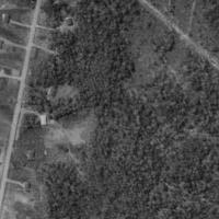
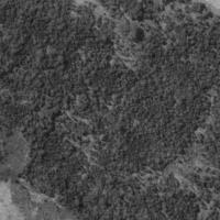
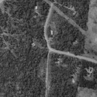
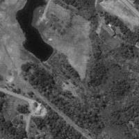


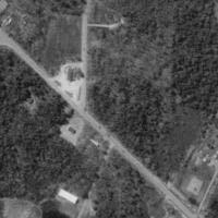
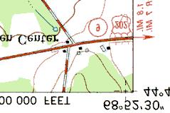
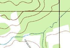
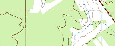
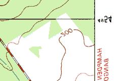
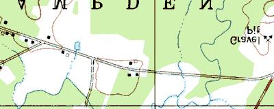
12 4 km SW of Hampden, Maine, United States 09 May 1996 Image courtesy of the U.S. Geological Survey 2002 Microsoft Corporation. All rights reserved.