PACIFIC WATER SHREW. Approaches to Inventory, Habitat Restoration, and Species Management. Species at Risk Stewardship Practices on the South Coast
|
|
|
- Gabriel Bryan
- 5 years ago
- Views:
Transcription


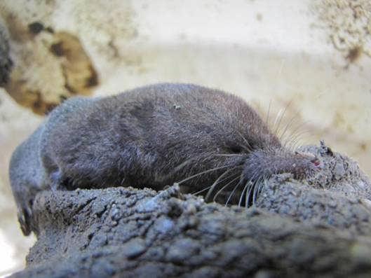
1 PACIFIC WATER SHREW Approaches to Inventory, Habitat Restoration, and Species Management IMAGE CREDIT: Chris Schmidt Species at Risk Stewardship Practices on the South Coast Fraser Valley Forum November 2, 2011
2 Presentation Outline Pacific Water Shrew (PWS) Overview Threats & Distribution Best Management Practices (BMPs) key points Sampling / Inventory Work Example Project Pacific Water Shrew Focus Suitable Habitat and Habitat Restoration (Group Discussion) Species Management Challenges Current Project Overview
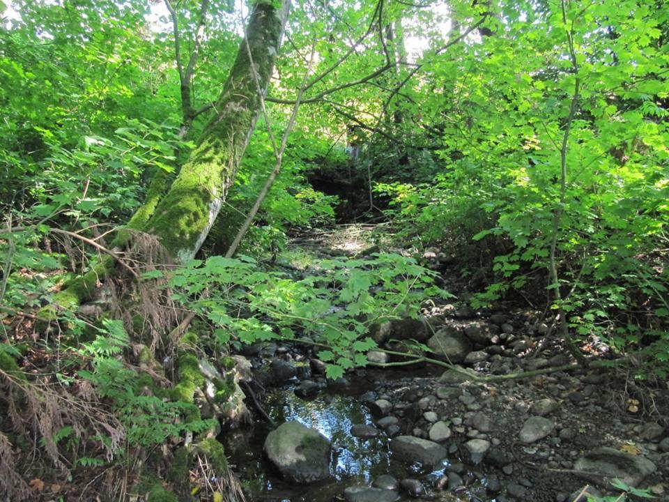
3 Pacific Water Shrew Overview Provincially Red-listed & Federally Endangered Inhabits riparian and marshy habitats Majority of captures to-date within 60 m of water Restricted to Lower Mainland / Fraser Valley (CWH) Forages primarily in aquatic areas remain submerged ~3.5 min.; dive ~2 m depth Generally larger than terrestrial shrews total length: cm Dark Brown pelage Stiff hairs on hind feet to assist in swimming

4


5 Photo credit: Leigh Evans
6 Primary Threats Habitat Loss Habitat Degradation Habitat Fragmentation

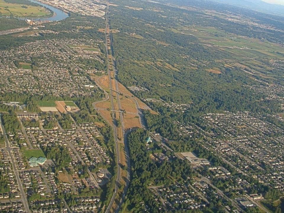
7 Point Grey to Squamish to Chilliwack Valley Unconfirmed records in Whistler and Skagit Valley
8 Current BMPs 2009 Best Management Practices (BMPs) Guidelines for Pacific Water Shrew in Urban and Rural Areas: Ideal water shrew habitat in BC includes riparian habitats associated with streams, creeks, and wetlands in mature coniferous (structural stages 5-7) or deciduous (structural stages 4-7) forests.
9 Current BMPs Requests completion of an Environmental Assessment for developments within 100 m of a waterbody. In Low capability habitat areas, conduct shrew sampling to evaluate presence. In Moderate and High capability habitats, assume Pacific Water Shrew is present and contact the Ministry to determine if a salvage is required.
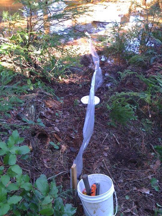
10 Sampling Protocols: Current BMPs Pit-fall Trapping - 8 day duration 192 trap hours. Place traps within 5 m of water and use natural cover objects and topography. 15 m spacing. Use of cellulose bedding, cover, and sufficient food. Trap checks every 6 hours. 2 person crew nights. Close traps during heavy rain or when temperatures drop below 3 degrees. Divide sampling into two stints, if possible.

11
12 Pitfall Trap WALL OF SHAME

13

14

15

16
17

18


19 SHREW TV
20 Current BMPs Habitat Protection: Leave 100 m buffer on each side of watercourse in suitable and capable habitat areas. Minimum 40 m buffer on each side of watercourse for low-impact activities. Move crossings away from known habitat. Preference for clear-span bridges. Use of CWD and maintaining native riparian vegetation. Maintain and improve habitat connectivity.

21 Example Project Port-Mann Highway 1 (PMH1) Project

22

23
24
25 PMH1 Tasks 1. Mammalia Biological Consulting conducted initial review of PWS suitability mapping for key areas. AquaTerra personnel verified and updated PWS suitability mapping for entire corridor. 2. Responsible for developing Pacific Water Shrew Management Plan including Mitigation / Monitoring Strategies. 3. Conduct salvages, where requierd.
26 % of Provincial Best % 75-26% 25-1% 0% Intermediate Knowledge 4Class Rating Code High Moderate Low Nil Indicators H Riparian area adjacent to a permanent stream of creek (<10 m wide) or wetland with a mature coniferous forest of Western Redcedar and/or Western Hemlock, or a mature deciduous or mixed forest. All indicators present, i.e., rich soils, moist habitat, Skunk Cabbage, Salmonberry and Devil s Club present. Dense riparian cover, leaf litter, and downed woody debris also abundant. M As above, but younger structural stages, primarily deciduous. Can include a natural or modified channel, 5-10 m wide, bankful depth of < 2 m and gradient of < 45 degrees. Some indicators present. L Limited connectivity, limited shrub understorey cover/density. Limited canopy cover / young forest. Invasive species dominance. A ditch, channelized watercourse, or a natural watercourse with a width of m, a bankful depth of > 2 m, and/or a gradient of > 45 degrees. No indicators present. N > 100 m from a waterbody or heavily managed (e.g. mowing) habitat. Culverted, or isolated reach with culverts > 30 m in length, or a bankful width of > 20 m or banks > 65 degrees. No riparian cover for > 75% of watercourse, exposed soil or bryophytes = dominant vegetation. Also Nil-rated if no water is present.

27
28 Habitat Restoration Group Exercise

29

30

31

32

33
34 Species Management Challenges Data Gaps Balancing growth with development - urbanization It s more than just critters - changing perceptions Fragmentation Alteration Enforcement Awareness Attitude: over 90% of persons in a recent provincial survey supported the protection of species at risk unless it s on their property or affects their property value

35

36 Risks of Non-Conformance? Mortality / Population Decline Auditing Difficulty in obtaining future salvage permits Work delays / stop work orders Bad Press Performance / Bonuses
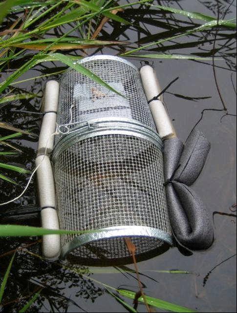
37 Current Project Habitat Stewardship for Pacific Water Shrew and Associated Species on the South Coast of BC Objectives: To achieve key objectives of the Pacific Water Shrew Recovery Team To develop a shrew-friendly minnow-trap

38
39 Current Project Ideally, the first of a multi-year (5 year) project to manage 25 PWS survival habitat sites
40 Current Project Tasks: Polygon refinement Assessment of recovery and connecting habitats Land tenure analysis Identify threats Prioritize sites for stewardship activities, education, outreach activities Participate in workshops
41 Current Project Deliverables: Site management plans Land owner contact protocol Land owner contact (LOC) database

42 Current Project
43 Questions?