Into the Deep The Marine Component of South Africa s National Biodiversity Assessment
|
|
|
- Benjamin Holt
- 5 years ago
- Views:
Transcription


1 Into the Deep The Marine Component of South Africa s National Biodiversity Assessment Sub-Global Assessment Network Meeting Dubai, United Arab Emirates 25 October 2014 Prideel Majiedt Marine Programme p.majiedt@sanbi.org.za


2 National Biodiversity Assessment Purpose High-level assessment for marine, river estuarine and terrestrial environments Ecosystem threat status Ecosystem protection levels Reporting, planning & monitoring tool Provide national context

3 Overall aims of the NBA To identify broad spatial priority areas for conservation action To make recommendations about implementation options for each priority area To provide a national context for conservation plans at the sub-national scale NB Conservation action is NOT just about formal protected areas


4


5 Systematic Assessment Target how much needs to be in good condition Systematic Assessment Habitat Map Compare to target Target how much needs to be protected Ecosystem threat status Critically endangered Least threatened Ecosystem protection levels Well protected Zero protection


6 Minimum Requirements for an Assessment Three Key Ingredients: Habitat map Map of pressures or threats to biodiversity Map of protected areas NB When data is scarce, listen to the experts

7 Habitat Classification


8 Habitat Classification
9 NSBA Lombard et al Namaqua Namaqua Shallow Intertidal Namaqua Deep Atlantic Lower Slope Southwestern Cape Deep Southwestern Cape Shallow Namaqua Sub Atlantic Upper Slope Southwestern Cape Sub Atlantic Abyss West Coast Supratidal Southwest Coast Supratidal Southwestern Cape Intertidal Map shows symbolic area of Biozone Agulhas Sub Su pratida l Inte rtid al Sh allow P hotic Dee p P ho tic South Coast Supratidal Agulhas Intertidal Map shows true area of Biozone Dee p P ho tic Su b P ho tic Agulhas Deep Upp er S lo pe Lowe r S lo pe Ab yss South-east Coast Supratidal Natal Transkei Intertidal Coast Supratidal Agulhas Shallow Kwazulu- Natal Coast Supratidal Indo- Pacific Abyss Delagoa Intertidal Delagoa Shallow West Indian Upper Slope Southwest -west Indian Upper Slope Indian Lower Slope Delagoa Deep Delagoa Sub Southwest -west West Indian Lower Slope Natal Shallow Natal Deep Natal Sub
10 NSBA 2004 Pressure Data Extractive Marine Living Resource Use Pollution Mining Coastal Development Climate Change Catchment Issues Non- Extractive Recreational Activities Alien Invasive Species Mariculture
11 NSBA Results 2004 Shallow photic Intertidal Supratidal Biozone Threat Status Critically endangered Endangered Vulnerable Least threatened Deep photic Sub photic Shallow photic Deep photic Sub photic Intertidal Supratidal Biozone Protection Status Well protected Moderately protected Poorly protected Hardly protected Zero protection Lombard et al. 2004

")

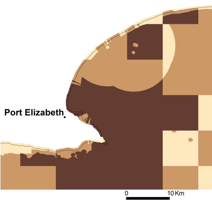
12 NBA 2011 Benthic and Coastal Habitat Map Coastal 37 coast types, 17 inshore, 3 islands,1 lagoon (58) Offshore benthic 23 rocky, 39 unconsolidated shelf, shelf edge & deepsea (62)
 Lagabrielle")
13 NBA 2011 Pelagic Habitat Map 16 Pelagic habitats Mean & variability in ocean variables (productivity, nutrients, SST, depth, fronts & eddies) Lagabrielle 2009


14 Fishing (18 sectors) Diamond & other mining Petroleum Shipping Distribution of pressures
15 Cumulative Pressures Map
16 Habitat Condition Assumption condition is related to the number and intensity of pressures and ecosystem impacts & recovery potential Pressure - habitat matrix Cumulative impact scores for sites (Halpern et al. 2008) Condition index for sites (5 min grid) Pressures Few pressures, low intensity Range of pressures, moderate intensity Many pressures, high intensities Condition Good Fair Poor Expected biodiversity impact Pattern and process intact Some ecosystem degradation Loss of biodiversity pattern and disruption of ecological processes.


17 Coastal & Offshore Benthic Condition
18 NBA 2011 Results: Coastal & Offshore Habitat Threat Status and Protection Level


19 Thank you! For data downloads go to the SANBI BGIS website For more information on SANBI and its Marine Programme