Using SWAT Models to Inform Catchment Management Approaches to Pesticide Control A UK Water Industry Case Study
|
|
|
- Cecil Miller
- 5 years ago
- Views:
Transcription

1 Using SWAT Models to Inform Catchment Management Approaches to Pesticide Control A UK Water Industry Case Study Philip Selby, Integrated Water Resources Management, Mott MacDonald, Cambridge, UK philip.selby@mottmac.com
2 Introduction Project context Methodologies for land-use set up and changes Metaldehyde: conceptualization of pathways calibration

3 23 Surface Water Catchments in 2 years Catchment management: Address pollution issues at sources Metaldehyde Surface Water Modelling Programme

4 To assess the feasibility of using catchment management solutions to improve raw water quality in groundwater and surface water sources. Project Overview Metaldehyde: Slug pellets Applied to protect wheat and oil seed rape in early stages of growth Carried into water course by field run-off & field drains EU legislation requires 0.1ug/l limit (on all pesticides) Enhance water treatment to remove metaldehyde is not economic Alternatives to metaldehyde are not as cost effective Encourage farmers to use less/alternative Demonstrate to DWI that water companies are being proactive

5 Classification of Crop Types in HRUs Land Cover Mapping O/S 1:25k Mapping Prepare Land Cover Layer (Refine land cover map with O/S mapping) Simplify land cover layer into arable, permanent grassland, forested, and other. Draw buffer strips around catchment watercourses Subdivide arable land cover based on minimum distance from watercourse Final Land Cover Map Soil Map Topography (DTM) HRU Definition Too many HRUs / Spatial distribution of HRU uneven? Increase threshold on soil layer and then on land cover layer Final HRU distribution
6 Corine Land Use Classification

7 Refinement with OS Vector
8 Addition of Buffer Strips
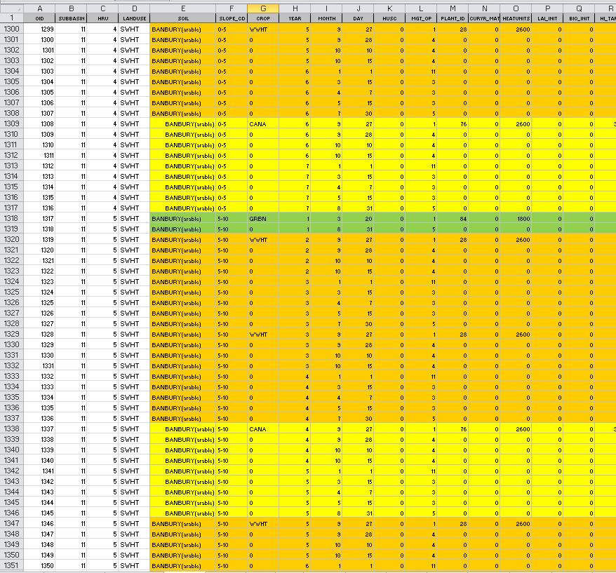
9 Randomly Generated Number (Between 1 and 16) Crop Rotation Selection Subbasin HRU* Area Selected Rotation *Hydraulic Response Unit Year 1 Year 2 Year 3 Year 4 Year 5 Year WWHT GRBN WWHT WWHT CANA WWHT WWHT WWHT WWHT WWHT WWHT WWHT WWHT WWHT WWHT WWHT WWHT WWHT WWHT WWHT WWHT WWHT CANA WWHT WWHT WWHT WWHT WWHT WWHT CANA WWHT CANA WWHT WWHT CANA WWHT GRBN WWHT WWHT CANA WWHT WWHT CANA WWHT WWHT CANA WWHT WWHT CANA WWHT WWHT GRBN WWHT WWHT WWHT WWHT WWHT WWHT CANA WWHT WWHT WWHT CANA WWHT WWHT CANA WWHT WWHT WWHT WWHT CANA WWHT CANA WWHT WWHT GRBN WWHT WWHT WWHT WWHT WWHT WWHT WWHT WWHT CANA WWHT WWHT GRBN WWHT WWHT WWHT WWHT WWHT WWHT WWHT CANA WWHT CANA WWHT WWHT CANA WWHT WWHT WWHT GRBN WWHT WWHT CANA CANA WWHT WWHT GRBN WWHT WWHT WWHT CANA WWHT WWHT WWHT WWHT WWHT WWHT WWHT WWHT CANA WWHT CANA WWHT WWHT CANA WWHT WWHT CANA WWHT WWHT WWHT WWHT WWHT WWHT WWHT CANA WWHT WWHT WWHT CALCULATED % TARGET % SELECTED ROTATIONS WWHT 78% 83% 82% 80% 69% 83% CANA 20% 15% 12% 2% 31% 17% GRBN 2% 2% 6% 18% 0% 0% WWHT 80% 85% 80% 75% 75% 75% CANA 15% 10% 15% 15% 20% 20% GRBN 5% 5% 5% 10% 5% 5% Management operation schedule is written using data in table Rotation Year 1 Year 2 Year 3 Year 4 Year 5 Year 6 1 CANA WWHT WWHT WWHT WWHT WWHT 2 WWHT CANA WWHT WWHT WWHT WWHT 3 WWHT WWHT CANA WWHT WWHT WWHT 4 WWHT WWHT WWHT CANA WWHT WWHT 5 WWHT WWHT WWHT WWHT CANA WWHT 6 WWHT WWHT WWHT WWHT WWHT CANA 7 WWHT WWHT WWHT WWHT WWHT WWHT 8 CANA WWHT WWHT CANA WWHT WWHT 9 WWHT CANA WWHT WWHT CANA WWHT 10 WWHT WWHT CANA WWHT WWHT CANA 11 CANA WWHT WWHT GRBN WWHT WWHT 12 WWHT CANA WWHT WWHT GRBN WWHT 13 WWHT WWHT CANA WWHT WWHT GRBN 14 GRBN WWHT WWHT CANA WWHT WWHT 15 WWHT GRBN WWHT WWHT CANA WWHT 16 WWHT WWHT GRBN WWHT WWHT CANA Iteration Stops when calculated and target % are within specified tolerance POSSIBLE ROTATIONS


10 Spreadsheet Tool

11 Metaldehyde Conceptual Model Pathways and Degradation Pathway Pellet Dissolved in Water Sorbed to Sediment Surface Runoff X X X Infiltration through soil profile X Underdrainage X X Bypass Flow X X X
12 Parameters to Calibrate Metaldehyde Description SWAT Initial Calibrated Parameter Value Value Soil adsorption coefficient normalized for soil organic carbon content Wash-off fraction (fraction of pesticide on the plant canopy that may be dislodged) Degradation half-life of the chemical on the foliage Degradation half-life of the chemical in the soil SKOC (mg/kg)(mg/l) WOF HLIFE_F (days) 5 5 HLIFE_S (days) Solubility of the chemical in water WSOL (mg/l or ppm) Application efficiency AP_EF Pesticide reaction coefficient (in reaches) CHPST_REA
13 Metaldehyde Calibration

14 Hydrological Calibration

15 Spatial representation of metaldehyde contribution Run with: one subbasin at a time switched off, only one subbasin switched on
16 Scenarios Remove metaldehyde from conceptually high-risk areas Remove metaldehyde from conceptually low-risk areas (for comparison with above) Remove metaldehyde from fixed percentages of arable land which are chosen at random. Limit application rate to 0.1 kg/ha Limit number of metaldehyde applications in Autumn
17 Subbasin Area Selected On/Off CALCULATED % 46% TARGET % (+/- 5%) 50% Randomly selected 1 or Iterate until matches target % within specified tolerance Subbasin Selection


18 Maximum Metaldehyde Concentration and Nr Modelled Peaks Exceeding 0.1µg/l

19 Thank you for listening.

20 Scenarios: Effect of catchment management practices on pesticide levels Demonstrate which are most effective Clay soils Near to catchment streams Is it enough? Incentivise farmers Ban metaldehyde? New limit? risk-based approach? Surrogate for other water quality problems/opportunities Modelling reservoirs still a challenge Are there still engineering solutions? What might happen in the future?