Eelgrass and Ocean Acidification: Ecological and Community Resilience
|
|
|
- Godwin Wood
- 5 years ago
- Views:
Transcription


1 Eelgrass and Ocean Acidification: Ecological and Community Resilience


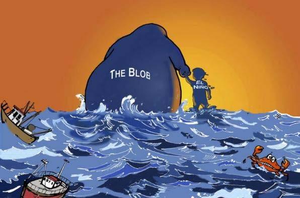
2 OA -what s the big deal?

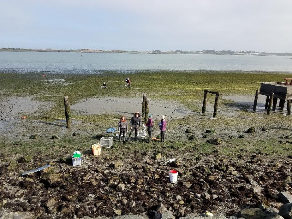
3 Upwelling and OA Project Focus: Water carbon chemistry analysis Eelgrass monitoring Juvenile oyster growth experiments North Humboldt Bay Eelgrass Beds


4 Partnerships
5 Humboldt Ocean Carbon Observatory & Eelgrass Monitoring Baseline Goals of the Project Advance understanding of the dynamics of ocean acidification (OA) along the open coast of the California Current System and within Humboldt Bay Establish a bay- wide eelgrass monitoring program within Humboldt Bay to ensure that significant changes in the distribution or abundance of this ecologically- important species are detected Contribute insight valuable to the operation and development of aquaculture and the management of eelgrass in Humboldt Bay
 Tomales Bay, CA (250 mi. south) Carlsbad, CA (680 mi.")
6 Humboldt Bay & Open Coast Carbonate Chemistry Monitoring Installation of real- time carbonate chemistry instrument ( Burke- o- Lator ) Humboldt has the 4 th Burke- o- Lator on the contiguous U.S. West Coast: Netarts, OR (300 mi. north) Tomales Bay, CA (250 mi. south) Carlsbad, CA (680 mi. south)

 Chevron Dock (CeNCOOS) Hog Island, Burke-o-Lator site Discrete")
7 Humboldt Bay & Open Coast Carbonate Chemistry Monitoring Partner with CeNCOOS to upgrade WQM equipment in Trinidad Bay Compare with ongoing WQM at existing partner sites in Humboldt Bay Indian Island (Wiyot Tribe) Chevron Dock (CeNCOOS) Hog Island, Burke-o-Lator site Discrete grab samples

 Ground- truthing for remote- sensing (e.g. aerial/uav photos) Humboldt Bay")
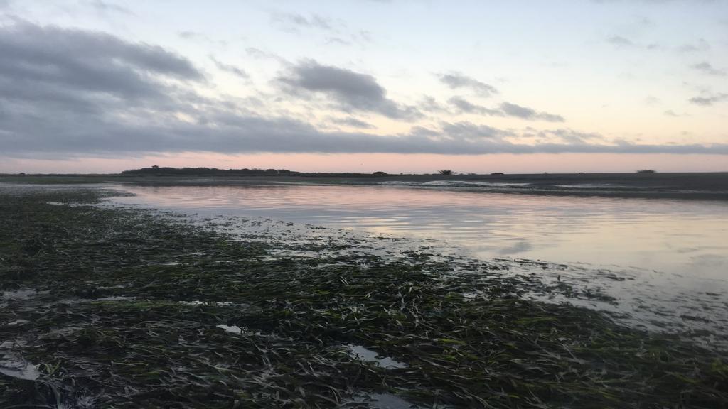
8 Baseline Monitoring of Eelgrass in First bay- wide eelgrass monitoring program for Humboldt Bay Detect changes in eelgrass abundance/distribution Quantify stressors/limitations (temperature, light availability) Compatible with existing monitoring efforts (MPA, CDFW, aquaculture permitting) Ground- truthing for remote- sensing (e.g. aerial/uav photos) Humboldt Bay


9 Valuable Insight Into Aquaculture and Eelgrass Management Eelgrass effects on carbonate chemistry and interaction with aquaculture Deployment of high- resolution sensors Analysis of carbonate chemistry in Humboldt Bay to benefit aquaculture Analyze water quality to determine relationship of oyster growth and water quality in Trinidad and Humboldt Bay


10 Partnering to Protect Humboldt Bay Tribal Resources Marine Gathered Resources Native bivalves, crabs, fish, eelgrass Archaeological Resources Tuluwat and Etpidohl village sites

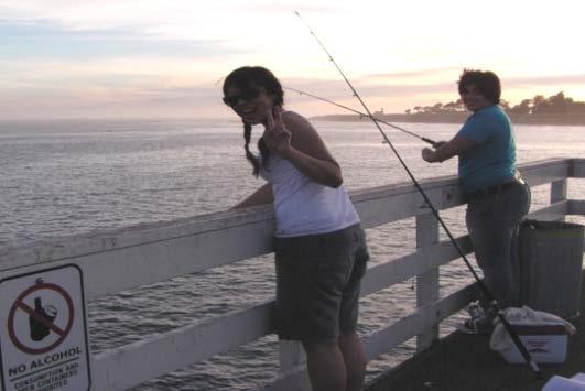
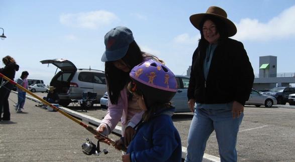
11 Partner Photos
12 Thank You!

13 Harmful Algal Blooms Carrie Pomeroy, PhD California Sea Grant, UC San Diego Institute of Marine Sciences, UC Santa Cruz California Adaptation Forum The Power of Partnerships to Build Climate Resilience along California s Coast and Ocean 28 August 2018


")
14 What are HABs? Harmful algal blooms occur when colonies of algae simple plants that live in the sea and freshwater grow out of control and produce toxic or harmful effects on people, fish, shellfish, marine mammals and birds. (NOAA 2016) Phytoplankton Filter- feeders Carnivores Including Mammals & Birds

 - Domoic Acid (DA)")

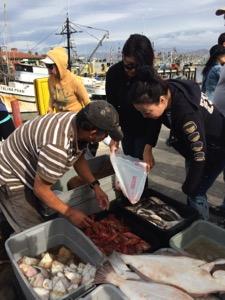
15 Why do we care? Direct impacts Illness or mortality due to consumption of/exposure to contaminated shellfish or fish Paralytic Shellfish Poisoning (PSP) - Saxitoxin Dinoflagellate, Alexandrium spp. Numbness/headache, difficulty breathing, paralysis, death Amnesic Shellfish Poisoning (ASP) - Domoic Acid (DA) Diatom, Pseudo-nitzschia spp. Cramps/vomiting, headache/disorientation, memory loss, death Indirect impacts Lost revenue for coastal economies dependent on seafood harvest or tourism Disruption of subsistence activities Loss of community identity tied to coastal resource use Disruption of family and community social relationships and cultural practices
16 What enables resilience to HABs? What it is based on Mitigation to minimize the risk of exposure and associated impacts Adaptation to increase the ability to cope What these require effective risk communication community vulnerability assessment identification of susceptible populations comprehensive environmental, sociocultural, & economic impact assessment effective assessment-based decision support tools coordination among agencies & stakeholders
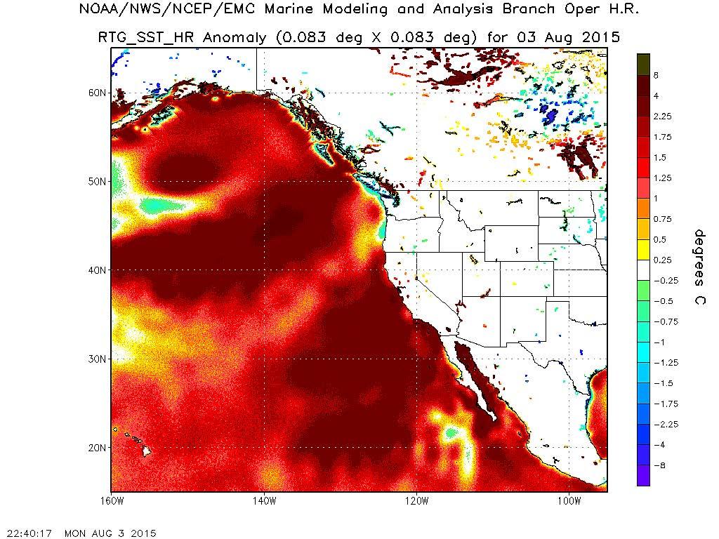
17 A California HAB Story M. Jacox

")
 10")

18 Unprecedented scale and scope Distribution (Extent) Intensity (Magnitude) 10 30x higher DA concentrations in some areas Duration (Persistence)
 Exposure risk: Highly variable Timing")


19 Understanding and managing fisheries risk Health risk: Nasty! Amnesic shellfish poisoning (ASP) Exposure risk: Highly variable Timing and geographic distribution Among and within species: species physiology, what they eat, how they metabolize it Among people: how they handle, prepare and consume Risk management: Multi-faceted CA Dept of Public Health issues seafood consumption advisory Office of Environmental Health Hazard Assessment recommends commercial crab fishery closures CA Fish and Game Commission closes commercial rock crab fishery delays commercial Dungeness crab fishery opener


20 The power of partnerships State and federal agencies Academic and other researchers Fishery participants Monitoring and assessment Risk management Communication Other community members C. Culver C. Culver C. Culver

21 Good news Lessons learned considerable coordination to monitor, manage and communicate risk no known cases of ASP associated with crustacean fisheries Not so good news communication shortfalls considerable social, cultural and economic costs critical information gaps Timing and geographic distribution of toxins Species-specific toxin uptake and retention How people handle, prepare and consume affected species Values, preferences and needs related to fishing, catching, and consumption

22 Thank you! Carrie Pomeroy
23


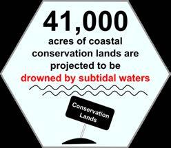
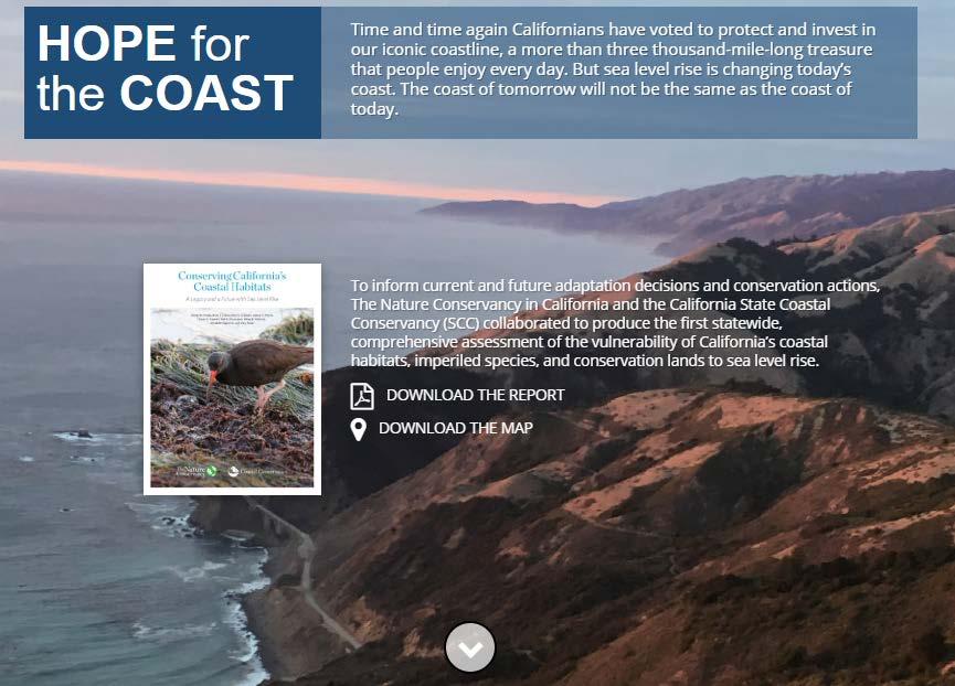
24 Conserving California s Coastal Habitats: A Legacy and a Future with Sea Level Rise
25 Conserving California s coastal habitats in the face of sea level rise With sea level rise and other stressors, will it be possible for California to maintain its current extent of coastal habitat?
26 Coastal Conifer Forest and Woodlands Subtidal Intertidal 5ft Sea Level Developed - medium intensity Regularly-flooded Estuarine Marsh Rise Vulnerability = Potential Impact / Adaptive Capacity Dune Tidal Coastal Developed - low intensity Tidal Channel Habitat Coastal Prairie Intertidal OtherFlat infrastructure Tidal and Salt Panne (Exposure * Sensitivity) Habitat (room for Coastal Scrub Subtidal Undeveloped uplands Types -Transgression) Freshwater Wetland Mixed Evergreen Forests and-woodlands Built Environment Groups powerepoin Habitat Types - Estuarine Habitat Oak ForestsMarsh and Woodlands BE_Group Freshwater Habitat Other Transportation Alkaline Marsh infrastructure Inland Shore Perennial Grassland Developed - high intensity Artificial Salt Pond Rare Riparian Forest and Shrub Rare Chaparral Developed - medium intensity Estuarine Forested/Shrub Wetland Riparian Forest and Shrub Rare Coastal Conifer Forest Developed - Reef low intensity Invertebrate Seasonal Freshwater Marsh and Woodlands Rare Coastal Scrub Other infrastructure Irregularly-flooded Estuarine Marsh Tidal Freshwater Forested/Shrub Rare Mixed Evergreen Forests and Woodlands Undeveloped uplands Regularly-flooded Estuarine Marsh Tidal Freshwater Marsh Rare Oak Forests and Woodlands Tidal Channel Habitat Types - Estuarine Vernal Pool Rare Serpentine Habitat Tidal Flat and Saltsystems Panne Habitat Types - Terrestrial-lumped Rare Vegetated Dune Alkaline Marsh Habitat Types - Freshwater Wetland Habitat Artificial Salt-Pond Habitat Types Water -lumped V = 0.3 Annual Grassland Habitat Estuarine Forested/Shrub Wetland V = 0.1 Habitat Freshwater Marsh Barren Legend Lakes /Shore Ponds Invertebrate Reef Inland Chaparral V = 0.5 World Boundaries and Places Riverine Irregularly-flooded Estuarine Marsh V = 1.0 Rare Riparian and Coastal ConiferForest Forest andshrub Woodlands Coastal Analytic Units World Imagery Regularly-flooded Estuarine Riparian Forest and Shrub Marsh Coastal Dune V = 0.7 Analytic Zone (R5) Low Resolution 15m Imagery Tidal Channel Seasonal Freshwater Marsh Coastal Prairie V = 0.1 High 60cm Imagery FlatScrub and Salt Panne Tidal Resolution Freshwater Forested/Shrub Coastal V = 1.1 5ft Subtidal Intertidal 5ft Sea Level Rise Legend Sea Level Rise Tidal Intertidal Subtidal High Resolution 30cm Imagery Tidal Freshwater Marsh Habitat Types - Freshwater Mixed Evergreen Forests and Wetland Woodlands World Boundaries and Places Coastal Analytic Units Analytic Zone (R5) Citations Habitat Vernal Pool and Woodlands Oak Forests Freshwater Other Habitat Types Marsh - Terrestrial-lumped

27 high Vulnerability lower Vulnerability (no Adaptive Capacity) PI ~ AC (no Potential Impact)
28

29
30 Conserve and Manage for Resilience Mitigate Potential Losses of Vulnerable Habitats

31 Conserve and Manage for Resilience Important for all habitats Critical for: Rocky intertidal Beaches Irregularly-flooded marsh Terrestrial habitats
32 Conserve and Manage for Resilience Critical for: Estuarine marshes Tidal flats Beaches

33 Mitigate Potential Losses of Vulnerable Habitats Critical to maintenance of habitat area
34 Mitigate Potential Losses of Vulnerable Habitats Critical to maintenance of habitat area and function AND Provides benefits to people

35 Conserve and Manage for Resilience Mitigate Potential Losses of Vulnerable Habitats
36
37