Agawam River Project - 10 Years Later
|
|
|
- James Wilkerson
- 5 years ago
- Views:
Transcription
. Agawam River Project - 10 Years Later. In Watershed Access Lab Projects. Project 129. Available at: http://vc.bridgew.")
1 Bridgewater State University Virtual Commons - Bridgewater State University Watershed Access Lab Projects Watershed Access Lab 2013 Agawam River Project - 10 Years Later Recommended Citation St. Margaret Regional School, Buzzards Bay, Massachusetts (2013). Agawam River Project - 10 Years Later. In Watershed Access Lab Projects. Project 129. Available at: This item is available as part of Virtual Commons, the open-access institutional repository of Bridgewater State University, Bridgewater, Massachusetts.
2 Buzzards Bay Watershed The Buzzards Bay Watershed consists of 17 Massachusetts communities whose water joins at a common place Lakes, rivers, streams, wetlands, and groundwater drain into Buzzards Bay 432 square miles of land
3 Welcome to Ten Years Later! Spring 2013 compared to Spring 2003 Agawam River Project
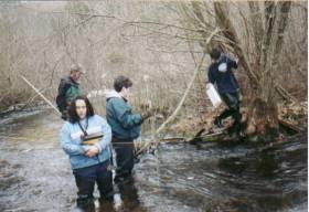
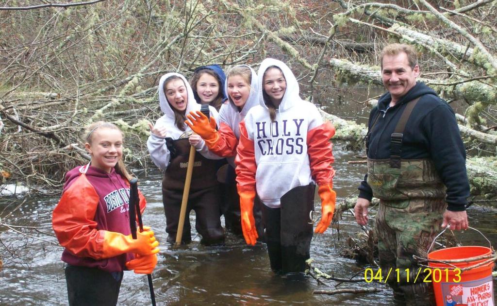
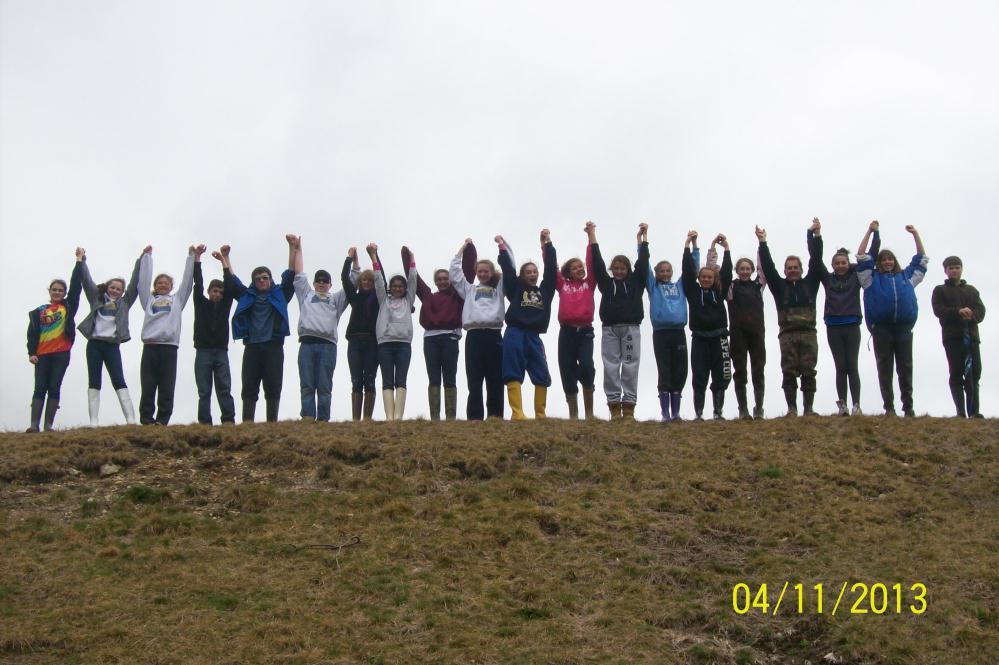
4 St. Margaret Regional School Buzzards Bay 2003 a group 2013 class Amelia Christina Eryk Michael Amie Colleen Kyla Brittany Alex 8 th Grade


5 Map of Buzzards Bay Watershed Agawam River
6 The Agawam River is in the Buzzards Bay Watershed. It flows from South Plymouth and joins the Wareham River in Wareham on its journey into Buzzards Bay.
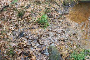
7 History of the Agawam River The land was used for the town to hunt and fish by a tribe called Agawam of the Federation of Wampanoags. In 1666 the land was purchased by the town of Plymouth but the tribe did not realize they sold all their rights to the land and they felt cheated. The boundary was called: On the east by an arm of the sea which connects with Head of the Bay with Buzzards Bay the narrowest is CohassetNarrows.
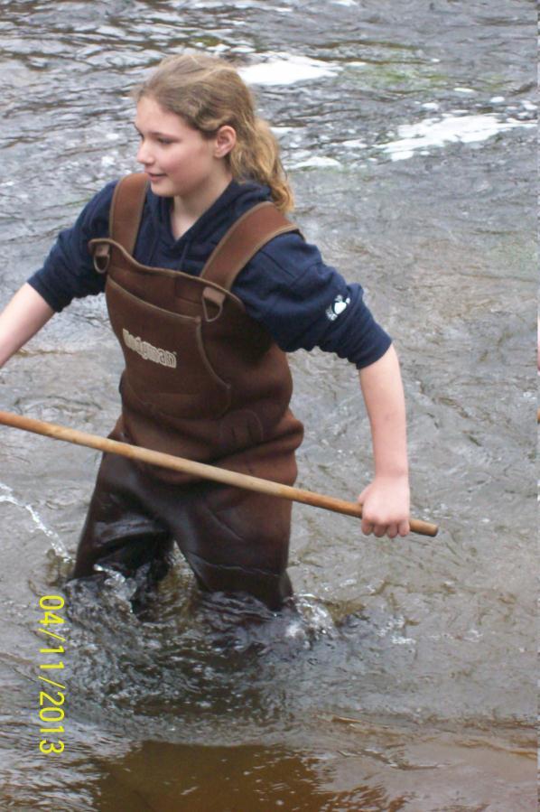
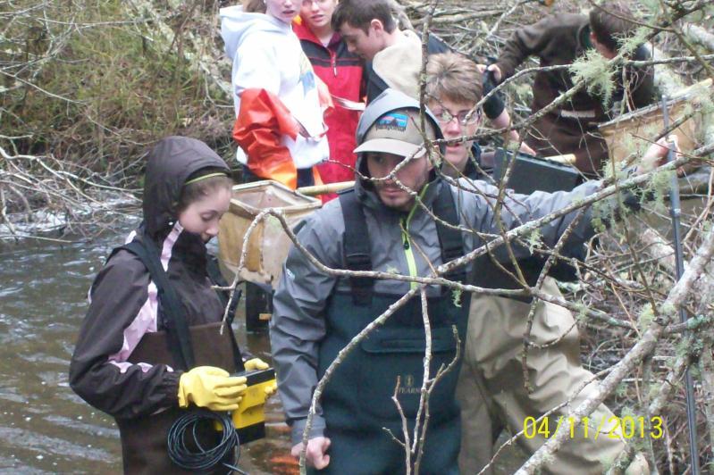
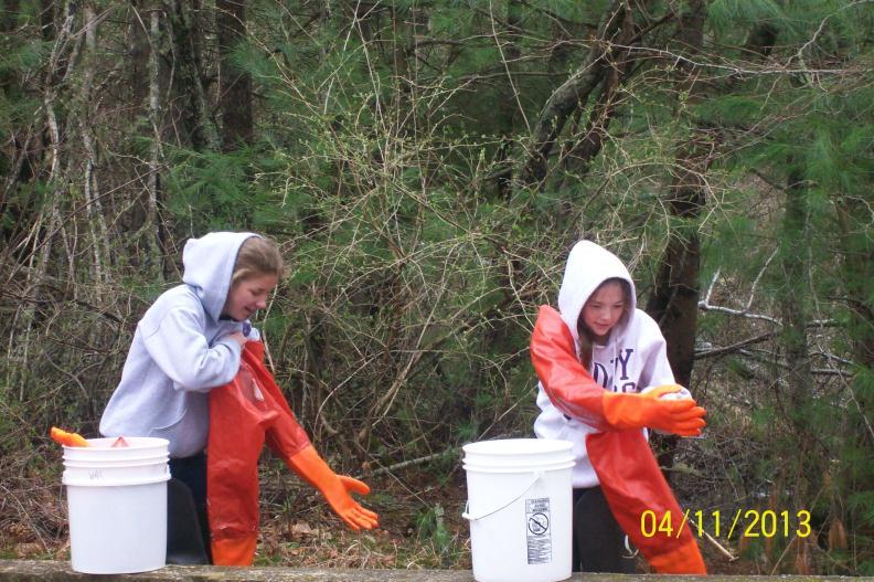
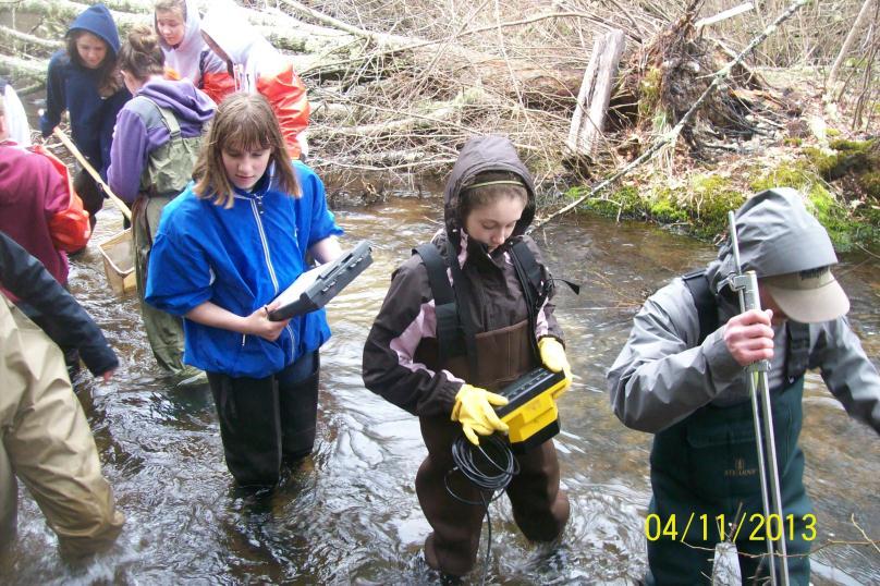
8 Our Question What is the quality of the Agawam River water upstream of a sewage treatment facility in late Fall and early Spring compared to water quality results 12 months ago affected by weather and land use changes? Our Question 2013 What are Land Use Differences and Water Quality Parameters compared to Spring 2003 at our Glen Charlie site?
9
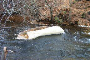
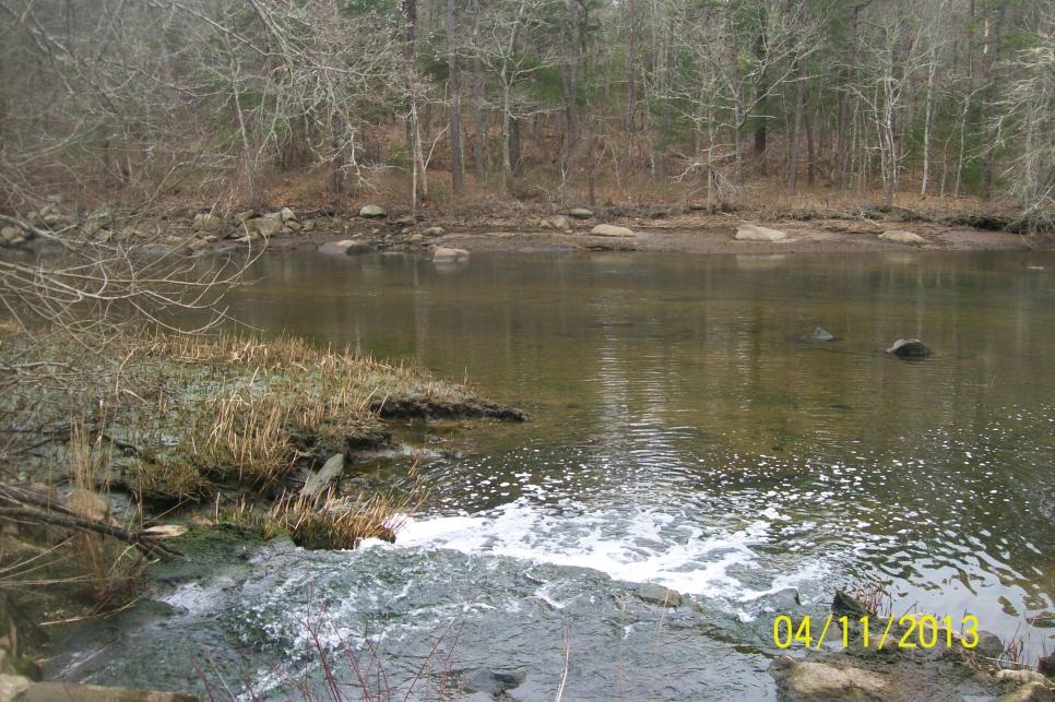
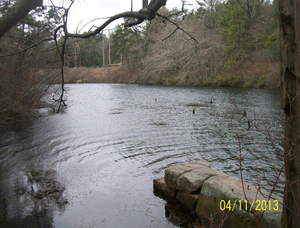
10 Off Glen Charlie Agawam was named as a place of settlement for dwelling and farming in the 1600s. The Agawam River meets the Wankinco River in Wareham. About 3 miles from Water Pollution Control Facility Stone foundation still exists from a rolling mill on site in the 1600s.
11 Air Temperature, Weather, and River Width Off Glen Charlie Spring 2003: Spring 2013: 31 F 52 F Snow Cloudy 16.7 wide 11 ft. wide
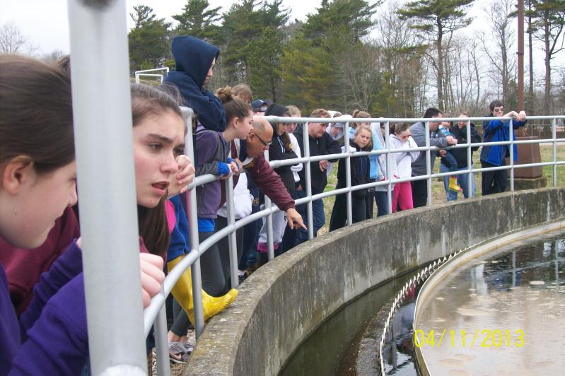
12 The Water Pollution Control Facility 2003 Output into the Agawam River Tides are a factor-must output on an outgoing tide Excess Nitrogen removal upgrade has begun Construction along river bank to 2006 Nitrogen and Phosphorus removal upgrade system was built
13
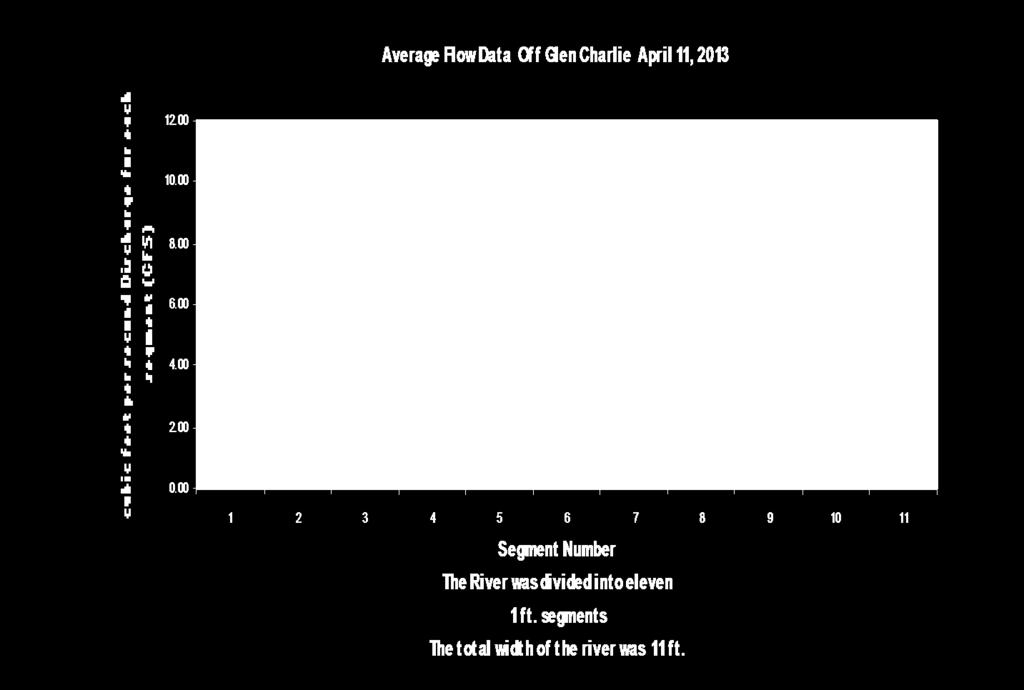
14
15 Land Use Off Glen Charlie History: 1690s-canoe Plymouth 5,000 acres of uninhabitable land forest,ponds,stream : cranberry bogs pond front houses campground road salt and sand 2013: more cranberry bogs developed more houses built clearing of trees and vegetation along river dam was rebuilt
16 What We ve Measured Over the Past Ten Years River Width and Depth River Flow/Velocity Dissolved Oxygen Temperature ph Phosphorus Macroinvertebrates
17 Why Tidal Flow is Important The mouth of the Agawam River is closer to a Bay than inland rivers An incoming tide carries out flow from the Pollution Control Plant upstream An outgoing tide carries debris and surface water downstream into the Bay There is brackish water in our sites Spring 2003 Low Tide 2013 High Tide
18 ph, Dissolved Oxygen and Water Temperature Off Glen Charlie Spring: ph 6.36 Spring: ph 6.47 D.O mg/l D.O mg/l Water Temp C Water Temp C Water Temp lower Water Temp higher DO higher DO lower Air Temp lower Air Temp higher 2013 Turbidity >120
19 Nitrogen Nitrogen is a nutrient that is a limiting factor in salt water Nitrogen is needed by all animals and plants as a building block for protein Excess Nitrogen sources are sewage, poorly managed septic systems, fertilizers, run-off, and water fowl. We have not been able to test nitrogen ourselves, but we have researched nitrogen data for Buzzards Bay Watershed.
20 Phosphorus The excess of phosphorus causes excessive plant growth which depletes the supply of dissolved oxygen, so marine and animal life will not have enough oxygen to breathe, so they die. This is called eutrophication. Mainly Phosphorus is the limiting nutrient in rivers and freshwater and the aquatic system. Many bodies of freshwater are currently experiencing influxes of Phosphorus and Nitrogen from outside sources. Detergents, road salts, fertilizer, human and animal waste contribute to excessive phosphorus.

21 River Flow
22 River Flow Off Glen Charlie March L/sec April L/sec Flow was more in In 2003 the tidal flow was outgoing. In 2013 the tidal flow was incoming. We also had rain during the week in April 2013.
23 Macroinvertebrates Caddisflies, mayflies, stoneflies and snail gills are pollution intolerant, therefore they indicate good water quality. Aquatic worms, midge larva, snail lungs, and leeches are pollution tolerant therefore they indicate poor water quality. Dragonflies, damselflies, scuds, clams, crayfish, aquatic sowbugs, and beetle larva are in many water conditions Good biotic index Good biotic index
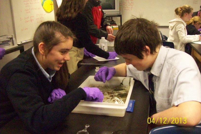
24 Macroinvertebrates
25 Results In the Spring 2003, the water temperature was lower, therefore, the DO was higher than in Spring In Spring 2013, the water temperature was higher, therefore, the DO was lower. In both years, the DO readings were in consistent parameters of a brackish water river system. The ph readings were within the same range in 2003 and The ph range indicated more alkaline than acidic which is typical of a healthy river system. The turbidity was excellent in spring 2013, indicating that sunlight is able to penetrate to the plant life, aquatic life, and sediments under the river water. Macroinvertebrates collected were scarce recorded were many scuds, fingernail clams and 4 leeches.
26 Discussion We think that the Off Glen Charlie Site is a healthy river system. We think that our water quality parameters have not changed to indicate a significant change in the health of the river system over the past ten years. We do believe that the physical change in the Water Pollution Control Facility s Nitrogen and Phosphorus Removal System Upgrade will continue to benefit the Agawam River. We wonder if the upstream removal of natural vegetation and dam upgrade will hinder or improve the poor substrate that has existed in that area. Perhaps more sunlight will penetrate into that part of the river now. We will monitor this question in our future studies.
27
28
29 Thank you Kim McCoy BSU Our Principal, Mrs. Plante for supporting this project Mr. Guy Campinha Wareham Public Library Buzzards Bay Coalition for Data Jellystone Campground Town of Wareham

30 Agawam River Water in rivers is a transfer between land and sea.