Assessing the Effect of Best Management Practices on Stormwater Quality and Flow Regime in Urban Watersheds under Climate Change Disturbance
|
|
|
- Noah Joseph
- 5 years ago
- Views:
Transcription


1 Assessing the Effect of Best Management Practices on Stormwater Quality and Flow Regime in Urban Watersheds under Climate Change Disturbance Katie Radavich, MS Colorado School of Mines Dr. Terri Hogue, Colorado School of Mines Drew Beck, MS, PE, Matrix Design Group (CSM alumnus) Ryan Edgley, Chelsea Panos, CSM Hydrologic Science and Engineering program In collaboration with Dr. Mark Gold, Dr. Stephanie Pincetl, Dr. Katie Mika, UCLA Institute of the Environment and Sustainability
2 Topics Motivation: Stormwater Pollution Watershed Scale Planning with Modeling Urban Watershed Case Study Optimized BMP Implementation Watershed Scale Case Study Results Conclusions 2
3 Urbanization increases stormwater pollution 3
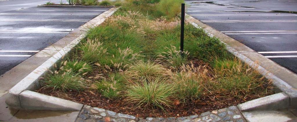
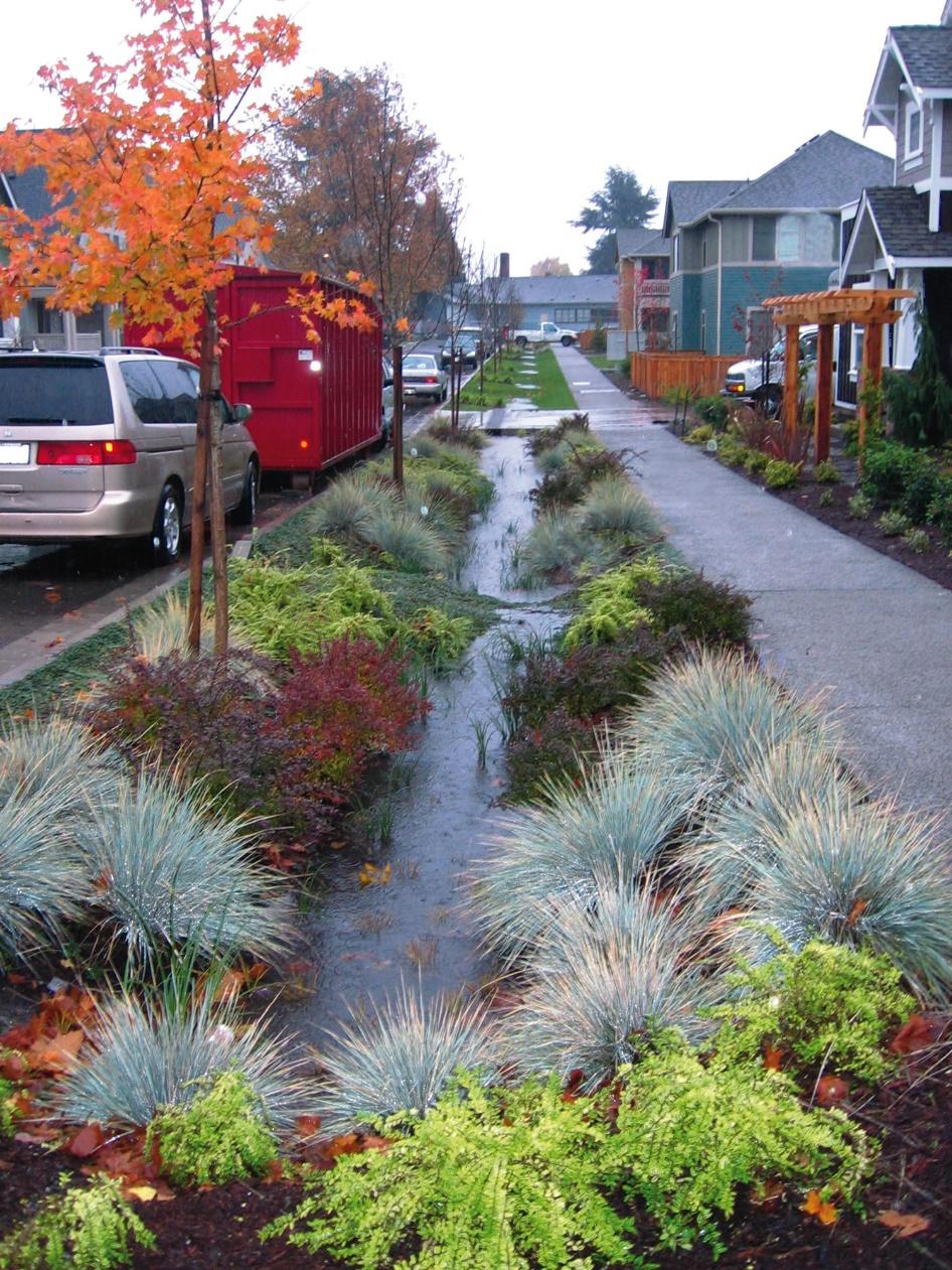
4 BMPs improve water quality Los Angeles Zoo Parking Lot LID 4

5 EPA-SUSTAIN Model s NSGA-II, Scatter Search, and Tailored Optimization Parcel scale to small catchments 32 acres up to 41,000 acres (64 mi 2 ) 5 Figure Citations: 1- Gao, Jie, Rusong Wang, Jinlou Huang, and Min Liu Application of BMP to Urban Runoff Control Using SUSTAIN Model: Case Study in an Industrial Area. Ecological Modelling. doi: /j.ecolmodel Wu, Jing, Shaw L. Yu, and Rui Zou A Water Quality-Based Approach for Watershed Wide Bmp Strategies1. JAWRA Journal of the American Water Resources Association 42 (5): doi: /j tb05294.x.
6 Watershed Scale Planning Assess cumulative effects of many BMPs Water quality in receiving waters Strengths and weaknesses of various BMP treatment processes Estimate flood peak reduction potential Infiltration, potential groundwater augmentation Results allow selective parcel scale focus Save effort and time 6


7 Example Watershed Scale Planning Case Study: Ballona Creek Watershed with EPA-SUSTAIN model Discharge Gage 90 mi 2 above discharge gauge 128 mi 2 total 7
8 SUSTAIN Modeling Setup Inputs: Precipitation Temperature ET SWMM-CAT: Climate Adjustment Tool Calibrated and Validated 90 mi 2 above gauge Continuous flow data at discharge gauge Event Mean Concentration (EMC) quality data BMP scenarios with 128 mi 2 full watershed WY BMP Infiltration Basin Dry Pond Vegetated Swale BioRetention Basin Porous Pavement Type Regional Regional Distributed/LID Distributed/LID Distributed/LID SUSTAIN Input parameters and data sets Hydrology Calibration / Validation Water Quality Validation BMP Calibration BMP Scenarios Output analysis BMP performance calibrated with International BMP database 8
9 Many BMP Optimization Scenarios were tested with NSGA-II Decision variables BMP types = All 5 Range of BMP dimensions Range of # BMPs Drainage Area routed to BMPs Upper Limit = Customized to our system tested % of watershed area routed to BMPs 33% 67% User-defined Evaluation Factors Peak Discharge reduction Flow Volume reduction Pollutant Load reduction Average Annual Load reduction targets Results Optimized cost and pollutant removal 2000 solutions per scenario identify 100 best 90% Reduce Copper by: 30-40% 40-50% 50-60% 9
10 NSGA-II BMP Optimization Results Final Solution 21,000 BMPs 1100 AF total volume Scenario % of Total BMPs: Infiltration Basin Dry Ponds Vegetated Swales Bio- Retention Porous Pavement Runoff from 90% of watershed, 50-60% Cu Reduction Target 3% ± 0.4% 13% ± 3% 34% ± 5% 22% ± 4% 27% ± 3% 10
11 Tailored BMP scenario development from NSGA-II Optimization results User defined decision variables Drainage area > 75% of watershed Vary Land-use types contributing runoff to BMPs BMP types Compliance Measures Number of BMPs to capture design storm runoff volume Increase/decrease number of BMPs to meet TMDL regulations BMP Scenario Total Volume (acre-ft) Number of BMPs (1) BMP Optimization ,200 (2) Infiltration Trenches ,400 (3) Dry Ponds ,400 (4) Private Property LID ,570 11

12 Results: Water quality in receiving waters 12
13 Results: BMP Scenario Construction Cost Estimates Construction cost estimates were compiled from multiple sources for each BMP type Median and quartile cost values for each BMP type were applied to each scenario 13


 of peak flow")
14 Results: Peak Flow Reduction / Potential Recharge Large Storms are between 3/4 2 precipitation Bars represent upper and lower bounds (max/min) of peak flow reduction percentages 14
15 Conclusions Watershed-scale results inform smart, efficient use of more detailed modeling Runoff from > 75% of watershed area routed to BMPs Understanding of costs and benefits, before investment Tailored BMP scenario development from watershed scale optimization Illuminated strengths and weaknesses of BMP types Determine balance of BMP projects within implementation portfolio Show how to achieve compliance with various WQ requirements Multiple options, work with stakeholders to prioritize benefits and costs 15


16 Thank you! Questions? Katie Radavich, Terri Hogue, Selected References: Radavich, K., T.S. Hogue, and Gold, M. (2015) Assessing the Effect of Best Management Practices on Water Quality and Flow Regime in an Urban Watershed Under Climate Change Disturbance, Colorado School of Mines Master s Thesis Beck, A., T.S. Hogue, and M. Gold (2014) Scenario Modeling of Best Management Practices (BMPs) in a Southern California Watershed using the EPA s Sustain Model, Colorado School of Mines Master s Thesis Shoemaker, Riverson, Alvi, Zhen, Paul, & Rafi. (2009). SUSTAIN - A Framework for Placement of Best Management Practices in Urban Watersheds to Protect Water Quality. US Environmental Protection Agency, User's Manual. Machado Lake, Los Angeles, CA Supported by the City of Los Angeles Bureau of Sanitation 16
17 NSGA-II BMP Optimization Results 90% Drainage Area Routed to BMPs 50-60% Cu Reduction Targeted Number of BMPs = 21,200 Total BMP Volume = 1102 acre-ft Scenario % of Total BMPs: Infiltration Basin Dry Ponds Vegetated Swales Bio- Retention Porous Pavement Runoff from 90% of watershed, 50-60% Cu Reduction Target 3% ± 0.4% 13% ± 3% 34% ± 5% 22% ± 4% 27% ± 3% 17
18 Results: Strengths and weaknesses of BMP treatment processes Infiltration BMPs reduce flow volume in channel TMDL TMDL Treat and Release BMPs return cleaner water to channel OUTLET CC iiii = CC oooooo CC iiii CC oooooo VV iiii VV oooooo VV iiii VV oooooo (2) (4) Regional Infiltration Basin BMPs Distributed LID BMPs (3) Regional Dry Pond BMPs (Treat/Release) 18

19 BMP treatment behavior Infiltration BMPs take water out of the channel Significant pollutant load reduction Small storms are penalized by concentrationbased TMDL = more concentrated pollutants = lower TMDL limit TMDL TMDL OUTLET Treat and Release BMPs return treated water to channel Pollutant dilution, but less load removed Small storms are in compliance Increased habitat and recreation Distributed BMPs infiltrate, minimal storage Significant evapotranspiration Shallow, large footprint areas allow flood peaks to diffuse 19
20 Climate Change Analysis SWMM-Climate Adjustment Tool (SWMM-CAT) Data from Global Climate Models from World Climate Research Program (WCRP) Coupled Model Intercomparison Project Phase 3 (CMIP3) Provides monthly precip, temp, ET adjustment factors for multiple climate scenarios, applied to historical data WY Applied in SUSTAIN, analyzed BMP scenarios (2), (3), and (4) Climate Scenarios available in SWMM-CAT Hot and Dry Near Term: HDNT Warm and Wet Near Term: WWNT Hot and Dry Long Term: HDLT Warm and Wet Long Term: WWLT 20
21 SWMM-CAT Monthly Precipitation Adjustments Monthly Average Precip (inches) Monthly Average Precipitation from WY Warm/Wet Long Term Warm/Wet Near Term Historical Hot/Dry Near Term Hot/Dry Long Term Oct Nov Dec Jan Feb Mar Apr May Jun Jul Aug Sep 21
22 Climate Scenarios Annual Precipitation Climate Scenario Average Annual Precipitation Depth (in) Precipitation % Change from Historical Runoff % Change from Historical Runoff Ratio (Q/P) HDLT % -13% 0.91 HDNT % -7% 0.88 Historical WWNT % +2% 0.84 WWLT % +3%