Soil, Landscape, Hydrology Relationships
|
|
|
- Marylou Lloyd
- 5 years ago
- Views:
Transcription
1 Soil, Landscape, Hydrology Relationships

2 Soil Hydrologic Cycle
3 Unsaturated Soils with Suction (Tension) Forces Water under a suction, pulls particles together. This water is not free water, it is not free to Move.

4 Strength of suction force related to pore diameter

5 Capillary Rise
6 Saturation A horizon is saturated when the soil water pressure is zero or positive. This water has a pressure greater than atmospheric pressure, and pushes air out of holes in the ground.

7 Saturated Soils with Free Water (no Suction)

8 Unsaturated Zone, Capillary Fringe, Saturated Zone
9 Effect of Hydraulic Gradient Large Hydraulic Gradient ( 2%) Water flows through soil fast Chemicals are added to or removed from soil Small Hydraulic Gradient ( 1%) Water flows through soil slowly Chemicals move internally within soil

10 Perched Water Tables

11 Perched Water Tables with Small Hydraulic Gradient Often Leads to Gleyed Colors
12 Water Table Depth (cm) Hydroperiod Smooth Rough The duration an frequency a soil stays saturated. Different hydroperiods produce different soils that provide different functions. J F A M J S O D


13 Wetland Function The biological, chemical, and physical processes that occur in wetlands Different types of wetlands provide different functions well (ex. Most depressional wetlands are good for long term water retention while most slope wetlands do not provide this function)
 Energy")
14 Hydrologic Functions Water retention (short term and long term) Energy dissipation

15 Biogeochemical Cycling of redox-sensitive compounds Sediment retention Carbon sequestration
16 Soil Characteristics that Affect Hydrologic Functions Water retention Long-term storage Slope Drainage class/hydroperiod Permeability Short term storage Slope Microtopography Permeability Surface organic carbon content Energy dissipation Slope Microtopography Surface texture
17 Soil Characteristics Used that Affect Biogeochemical Functions Cycling of Redox-Sensitive Compounds (nitrogen cycling) Permeability Drainage class/hydroperiod Organic carbon content Soil ecology (microbial community) Sediment retention (phosphorous retention) Permeability Slope Microtopography Cation exchange capacity Carbon sequestration Organic carbon content Drainage class/hydroperiod Topography Microtopography
18 Nitrogen Removal Wetlands remove 70 to 90% of N from water. Seasonally saturated wetlands are the most efficient at utilizing nitrogen.
19 Phosphorous Removal Wetlands retain about 45% of phosphorous from waters. Uplands are better at removing P. An upland buffer between wetlands and open water will optimize removal of phosphorous.
20 Carbon Processes Sequestering 22,000 kg of C in humus requires kg 1833 lbs. of N, 440 lbs. of P, and 315 lbs. of S. 22,000 lbs/acre of C is equivalent to an increase of about 0.7%.

21 Organic Soils Low gradient, constant hydroperiod with periods of ponding

22 Soils with Dark Surfaces High in Organic Carbon Low gradient, constant hydroperiod in wetter months and fluctuating in drier months

23 Dark Surfaces High in Organic Matter with Redox Slight gradient, fluctuating hydroperiod near edge of discharge wetland -water leaves through evapotranspiration allowing iron to accumulate in the dark surface

24 Gray matrix with redox Gradient can be variable, fluctuating hydroperiod

25 Soils that Flood Moderate gradient, overland flow, recent sediment deposition

26 Soils that Pond Low gradient, often perched, ponded -saturation leaves through evapotranspiration
27 Things to think about from a soils perspective How is the water going to get there? How are you keeping the water in the upper part to saturate the soil? How are you going to keep the water there long enough for it to go anaerobic? Have you compacted the soil and if so is that going to affect the hydroperiod needed to replicate functions desired? What functions are you trying to replicate and what hydroperiod is needed to do so? Do you have enough organic matter at the surface to jump start the microbial processes that provide soil functions? Where does the water go once it leaves the wetland?
28 Tools for Assessing Whether you Have Achieved Soil Hydrology Direct measurements to show that the soil is saturating in the upper part. Direct measurements to show that the soil is going anaerobic in the upper part. Identification of physical features in the soil to show that the soil is saturating and going anaerobic in the upper part.

29 Soil Saturation Piezometers or shallow wells


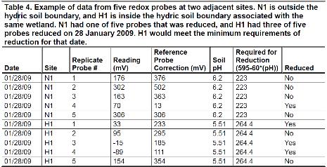
30 Anaerobic Conditions IRIS tubes


31 Physical Evidence in the Soil Physical evidence may be evident if the environmental factors are present. However, in many cases in the short period of time that you have to evaluate you may have to look closely to find evidence. Also, if soils were hydric before restoration you must look closely to ensure that features are actively forming around root channels or organic matter and not remnants of the former condition.