JOINT PUBLIC NOTICE December 3, 2018
|
|
|
- Alexandrina Lyons
- 5 years ago
- Views:
Transcription
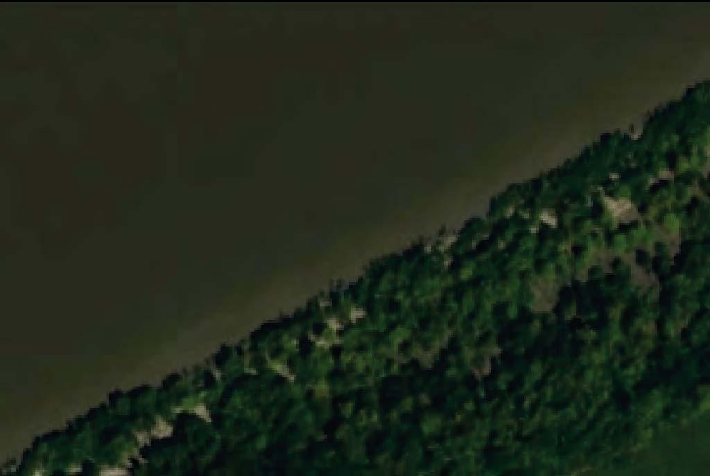
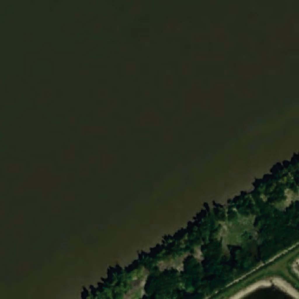
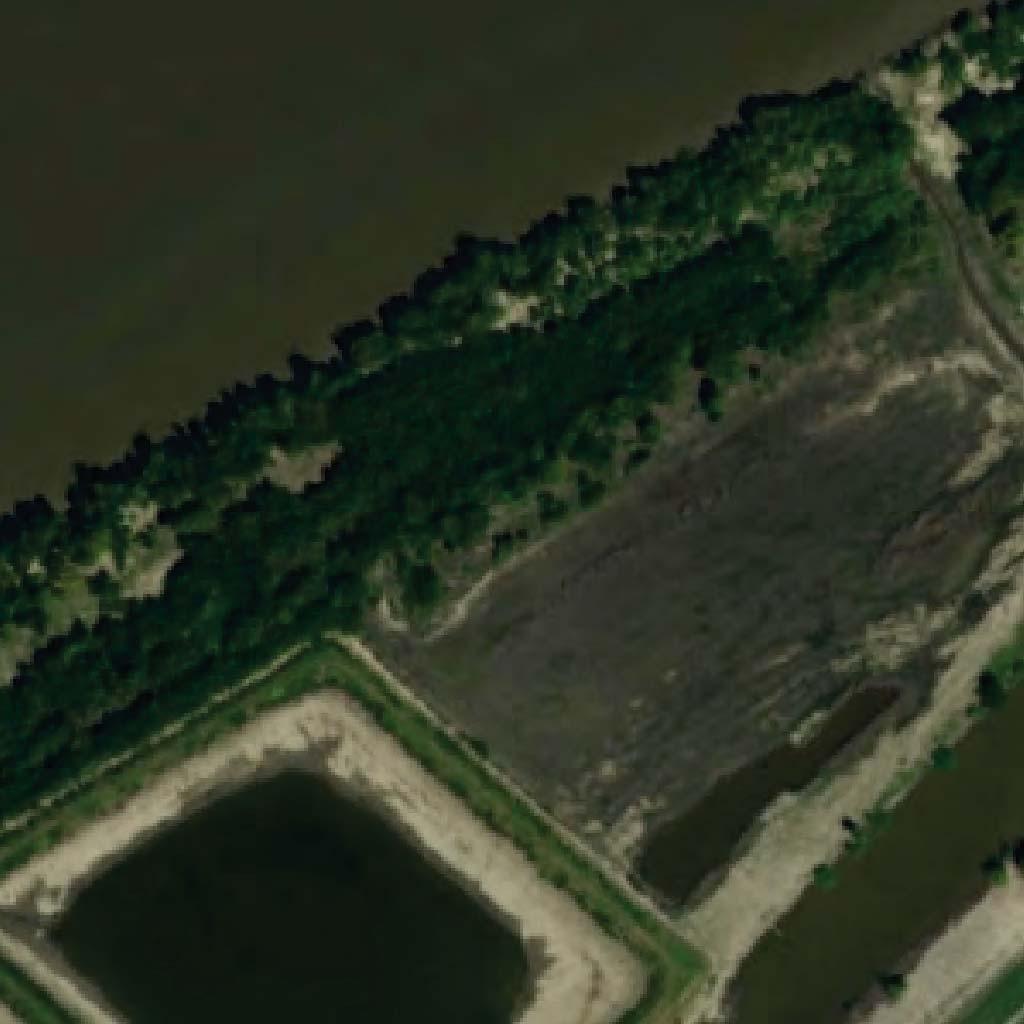
1 JOINT PUBLIC NOTICE December 3, United States Army Corps of Engineers State of Louisiana New Orleans District Department of Environmental Quality Regulatory Branch Water Permits Division 7400 Leake Avenue Post Office Box 4313 New Orleans, Louisiana 701 Baton Rouge, Louisiana (504) (5) Project Manager Project Manager Kenny Blanke Elizabeth Hill Permit Application Number WQC Application Number MVN CX WQC Interested parties are hereby notified that a permit application has been received by the New Orleans District of the U.S. Army Corps of Engineers pursuant to: [ X ] Section 10 of the Rivers and Harbors Act of March 3, 99 (30 Stat. 1151; 33 USC 403); and/or [X] Section 404 of the Clean Water Act (86 Stat. 8; 33 USC 1344). Application has also been made to the Louisiana Department of Environmental Quality, Office of Environmental Services, for a Water Quality Certification (WQC) in accordance with statutory authority contained in LRS30:47 A(3), and provisions of Section 401 of the Clean Water Act (P.L.95-17). CONVEYOR BRIDGE FOR EXISTING SAND MINING OPERATIONS, DOLPHIN MOORINGS, AND DEADMAN ANCHORS FOR PROPOSED BARGE FLEETING IN MISSISSIPPI RIVER NEAR MODESTE IN ASCENSION PARISH NAME OF APPLICANT: L.J. Noel, Inc., c/o Lord and Winter, LLC, Attn: Sarah Wood, 9800 Airline Highway, Suite 7, Baton Rouge, Louisiana 708 LOCATION OF WORK: Within the Mississippi River Basin, in the Lower Mississippi River Baton Rouge hydrologic unit (HUC ), in the Mississippi River, right descending bank, mile 4.5, near Modeste, Louisiana, in Ascension Parish (Latitude N, Longitude W). CHARACTER OF WORK: The applicant has requested an extension of time to complete previously authorized work and to modify an existing Department of the Army permit authorization. The proposed permit modification includes the installation and maintenance of a conveyor bridge, 6 dolphin moorings, 14 deadman anchors, and barge fleeting. The proposed conveyor bridge would be utilized to transport sand material to barges from the existing and previously authorized sand containment pits. The dolphin moorings would be utilized for barges during loading. The proposed
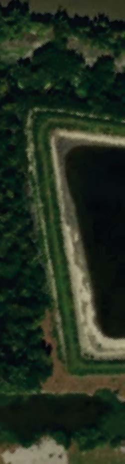
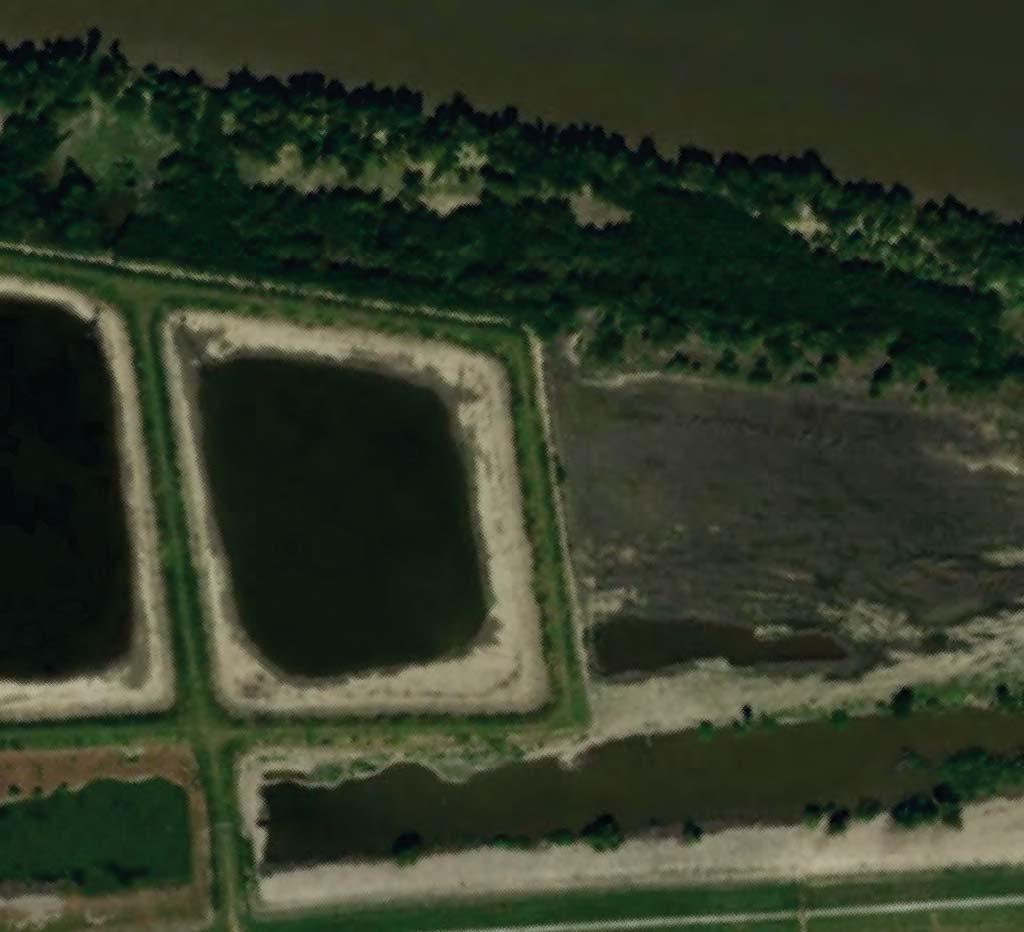
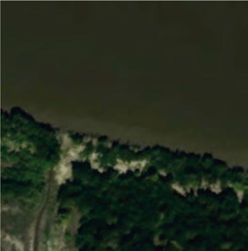
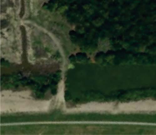
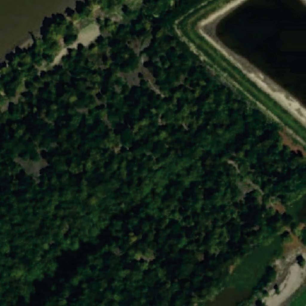
2 anchors would be utilized to support a 14 barge long x 8 barge wide fleeting arrangement (112 total barges). Jurisdictional batture wetlands would be impacted from the proposed modification from construction of the conveyor bridge and support footings, as well as the temporary 15-wide construction access clearing for the installation of the anchor point installation along the batture. The original permit authorization included the dredging of sand material from the Mississippi River and the placement of dredged material into batture containment pits (2 of 4 pits have been completed). Approximately 2,000,000 cubic yards of sand material annually would be hydraulically dredged from the river bottom and would be placed in the batture pit for stockpiling. Approximately 0.12 acre of jurisdictional batture wetlands would be impacted by permit modification and 2.06 acres of jurisdictional batture wetlands would be cleared for access road and anchor point installation. The 4 previously authorized batture containment pits have been previously mitigated under the original permit authorization. The applicant stated that the impacted area has been minimized to the smallest footprint that will allow the goals of the project to be achieved. Best management practices will be employed during construction to minimize sediment excursion. To compensate for unavoidable impacts, the applicant has agreed to purchase mitigation credits from an approved mitigation bank for all proposed modifications impacting jurisdictional wetlands. The comment period for the Department of the Army Permit and the Louisiana Department of Environmental Quality WQC will close 30 days from the date of this joint public notice. Written comments, including suggestions for modifications or objections to the proposed work, stating reasons thereof, are being solicited from anyone having interest in this permit and/or this WQC request and must be mailed so as to be received before or by the last day of the comment period. Letters concerning the Corps of Engineers permit application must reference the applicant's name and the Permit Application Number, and be mailed to the Corps of Engineers at the address above, ATTENTION: REGULATORY BRANCH Letters concerning the Water Quality Certification must reference the applicant's name and the WQC Application number and be mailed to the Louisiana Department of Environmental Quality at the address above. The application for this proposed project is on file with the Louisiana Department of Environmental Quality and may be examined weekdays between 8:00 a.m. and 4:30 p.m. Copies may be obtained upon payment of costs of reproduction. Corps of Engineers Permit Criteria The decision whether to issue a permit will be based on an evaluation of the probable impacts, including cumulative impacts of the proposed activity on the public interest. That decision will reflect the national concern for both protection and utilization of important resources. The benefit which reasonably may be expected to accrue from the proposal must be balanced against its reasonably foreseeable detriments. All factors which may be relevant to the proposal will be considered including the cumulative effects thereof; among those are conservation, economics, aesthetics,
3 general environmental concerns, wetlands, historic properties, fish and wildlife values, flood hazards, floodplain values, land use, navigation, shoreline erosion and accretion, recreation, water supply and conservation, water quality, energy needs, safety, food and fiber production, mineral needs, considerations of property ownership and, in general, the needs and welfare of the people. The U.S. Army Corps of Engineers is soliciting comments from the public, federal, state, and local agencies and officials, Indian Tribes, and other interested parties in order to consider and evaluate the impacts of this proposed activity. Any comments received will be considered by the U.S. Army Corps of Engineers to determine whether to make, modify, condition, or deny a permit for this proposal. To make this decision, comments are used to assess impacts on endangered species, historic properties, water quality, general environmental effects, and other public interest factors listed above. Comments are used in the preparation of an Environmental Assessment and/or an Environmental Impact Statement pursuant to the National Environmental Policy Act. Comments are also used to determine the need for a public hearing and to determine the overall public interest of the proposed activity. The New Orleans District is unaware of properties listed on the National Register of Historic Places near the proposed work. The possibility exists that the proposed work may damage or destroy presently unknown archeological, scientific, prehistorical, historical sites, or data. Copies of this notice are being sent to the State Archeologist and State Historic Preservation Officer. Our initial finding is that the proposed work would not affect any species, nor affect any habitat designated as critical to the survival and recovery of such species, listed as endangered by the U.S. Department of Commerce. The New Orleans District has determined that the proposed project is not likely to adversely affect the pallid sturgeon (Scaphirhynchus albus) and will have no effect on other known species. These determinations are based on the Standard Local Operating Procedure for Endangered Species of Louisiana (SLOPES), dated October, 14, between the U.S. Army Corps of Engineers and U.S. Fish and Wildlife Service, Ecological Services Office. This notice initiates the Essential Fish Habitat (EFH) consultation requirements of the Magnuson-Stevens Fishery Conservation and Management Act. The applicant's proposal would result in the destruction or alteration of n/a acres of EFH utilized by various life stages of red drum and penaeid shrimp. Our initial determination is that the proposed action would not have a substantial adverse impact on EFH or federally managed fisheries in the Gulf of Mexico. Our final determination relative to project impacts and the need for mitigation measures is subject to review by and coordination with the National Marine Fisheries Service. If the proposed work involves deposits of dredged or fill material into navigable waters, the evaluation of the probable impacts will include the application of guidelines
4 established by the Administrator of the Environmental Protection Agency. Also, a certification that the proposed activity will not violate applicable water quality standards will be required from the Department of Environmental Quality, Office of Environmental Services, before a permit is issued. Any person may request, in writing, within the comment period specified in this notice, that a public hearing be held to consider this application. Requests for public hearings shall state, with particularity, the reasons for holding a public hearing. You are requested to communicate the information contained in this notice to any other parties whom you deem likely to have interest in the matter. You are requested to communicate the information contained in this notice to any other parties whom you deem likely to have interest in the matter. for John M. Herman Chief, Central Evaluation Section Regulatory Branch Enclosure

5 ± Site Location Sources: Esri, HERE, DeLorme, USGS, Intermap, INCREMENT P, NRCan, Esri Japan, METI, Esri China (Hong Kong), Esri Korea, Esri (Thailand), MapmyIndia, NGCC, OpenStreetMap contributors, and the GIS User Community 3 Miles Figure 1 Site Location L.J. Noel, Inc. MVN CX Ascension Parish, Louisiana Legend Review Area November 29, 17


6 Miles Esri, HERE, DeLorme, MapmyIndia, OpenStreetMap contributors, and the GIS user community, Source: Esri, DigitalGlobe, GeoEye, Earthstar Geographics, CNES/Airbus DS, USDA, USGS, AeroGRID, IGN, and the GIS User Community Figure 2 Review Area vs LSU LIDAR Noel MVN CX Ascension Parish, Louisiana 28 Legend Mile Marker Parcel Boundary Elevation


7
8


9