Contiguous Lots, Relationships & Special Topics Fall Darrin Hoverson Area Hydrologist
|
|
|
- Barnaby Gray
- 5 years ago
- Views:
Transcription

1 Contiguous Lots, Relationships & Special Topics Fall 2018 Darrin Hoverson Area Hydrologist


2 1. Nonconforming Lots 2. SL Model Ordinance Update 3. New Review Process 4. Website Resources Regs & Administration 5. Why Pursue Higher Standards
3 WHY SHORELAND STANDARDS ARE IMPORTANT
4
5


6 WHY SHORELAND STANDARDS?

7 PRESERVE VALUES

8 3 decrease in water clarity = decline of 22% in property value or loss of $70/shoreline foot


9 Phosphorus Inputs Runoff Volume Sediment Inputs 4x 5x 7x Adapted From: Wisconsin DNR 18x
10 SPECIAL TOPICS NONCONFORMING LOTS

 and MS 462.")
11 Nonconforming Shoreland Lots 2009 MN Legislature made two changes: 1. When variances are not needed for single lots 2. When contiguous lots under common ownership must be combined Same changes made to MS (county) and MS (city) Changes supersede relevant parts of Shoreland rules
, when: 1. All structure & septic setbacks met 2.")

12 Nonconforming Single SL Lots May be allowed as building site without variance from lot size requirements (local standards), when: 1. All structure & septic setbacks met 2. A type 1 sewage treatment system installed or connection to public sewer 3. Impervious surface does not exceed 25% If not, then variance is needed and local variance standards are applied. Supersedes relevant part of Subp. 2D MS Subd. 5 (b) MS Subd. 1e.(e)
13 Nonconforming Contiguous SL Lots Under Common Ownership An individual lot must be considered as a separate parcel for sale or development, if: 1. The lot is 66% of dimensional standard (area, width) per Subp. 2a 2. Connected to public sewer or Type 1 sewage system 3. Impervious surface does not exceed 25% 4. Consistent with the Comp Plan If not, then lot MUST be combined with one or more lots so they equal a conforming lot as much as possible NO VARIANCE OPTION


14 Nonconforming Contiguous SL Lots Under Common Ownership However, lot(s) may be sold, if they contained a habitable residential dwelling at time they came under common ownership, and: 1. The lots are suitable for, or served by, a sewage system consistent with MR 7080, or 2. Connected to a public sewer Supersedes relevant part of Subp. 2D MS Subd. 5 (c) MS Subd. 1e. (f)


: Area - 15,000 SF Width 75")

15 Nonconforming lot example: Request to combine 3 small nonconforming lots with common ownership into two lots 3 existing lots: 40 X 157 for 6,280 SF each 2 proposed lots: 60 X 157 for 9,420 SF each Min standard for sewered riparian lot (GD): Area - 15,000 SF Width 75 FT Impervious surface limit 25% City policy is to encourage redevelopment of older nonconforming lots.
16 SPECIAL TOPICS SHORELAND MODEL ORDINANCE UPDATE
17

18
 Nonconformities (394.36 Subd 5, 462.357 Subd. 1e (d)) Ag buffers (103F.")
19 Consistent with Statutes Variances ( Subd 7, Subd 6) Nonconformities ( Subd 5, Subd. 1e (d)) Ag buffers (103F.48)
 Wetlands (BWSR 8420) Environmental Review (EQB")
20 Consistent with Rules Feedlots (PCA 7020) SSTS (PCA 7080) Wetlands (BWSR 8420) Environmental Review (EQB 4410)

21 Plain/less Language Fewer words shorter paragraphs Reorganization Eliminated land use districts and district criteria Moved definitions embedded in standards to definitions section Links to related statutes and rules

22 Lots of Graphics & Commentary

23 TWO DOCUMENT SET PDF with Commentary MS Word Cutting & Pasting

24 CLARIFIED ADMINISTRATIVE & MANAGEMENT PRACTICES Mitigation DNR notifications: Reclassifications Topo boundary adjustments PUDs open space
25

26
27 10/16/2018 Optional Tagline Goes Here mn.gov/websiteurl 27
28 10/16/2018 Optional Tagline Goes Here mn.gov/websiteurl 28

29 PUD Guidance

30 OPTIONAL HIGHER RESOURCE & ADMINISTRATIVE STANDARDS (BLUE TEXT) Impervious surface definition Steep slope definition Best practices for managing vegetation
31 Optional Tagline Goes Here mn.gov/websiteurl

32
33
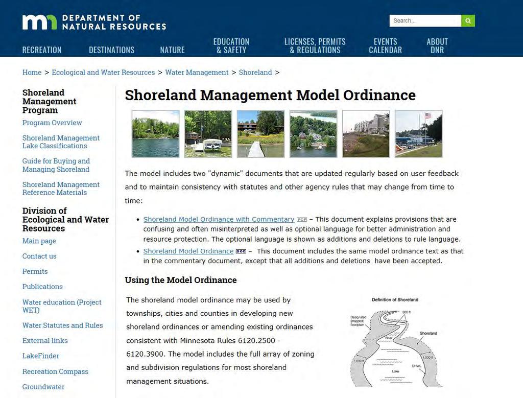
34 Model Ordinance Webpage mt_section/shoreland/mod-ord.html
35 SPECIAL TOPICS SHORELAND ORDINANCE REVIEW PROCESS
36 For which actions must DNR be given 10 days notice prior to a public hearing? A. Ordinance amendment 74% B. CUP C. Variance D. PUD 23% E. All of the above F. For items A - C only Ordinance amendment 3% 0% CUP Variance 0% 0% PUD All of the above For items A - C only
37 Who should be notified? A. The Commissioner B. The area hydrologist C. The division manager 90% 10% 0% The Commissioner The area hydrologist The division manager
38 What s the preferred method for notifying the DNR? A. By B. By surface mail 63% C. By phone D. The method preferred by your Area Hydro 22% 16% 0% By By surface mail By phone The method preferred b...
39 Shoreland Ordinance Review Process Goal Improve the number of compliant ordinances and documentation quality with less review time and greater certainty
40 Shoreland Ordinance Review Process Clarify process and expectations Similar to land use permit process Forms (checklists) Early engagement/pre-application meetings Webpages/tool for communicating Project management Central office and regional office roles Software to manage
41
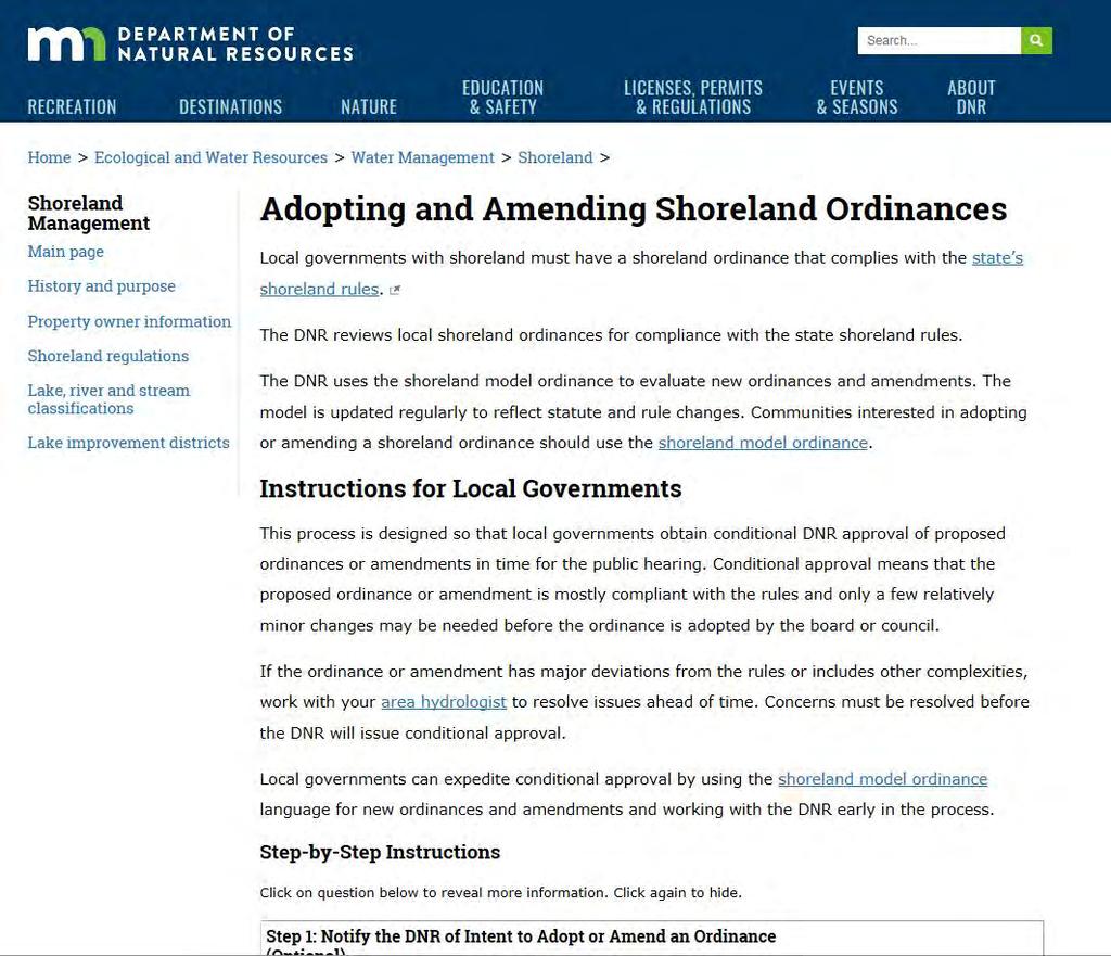
42 Main Page mt_section/shoreland/index.html Variance Guidance mt_section/shoreland/variances.html

43 Note on Flexibility Flexibility is an option Expectation is for stronger standards in one area in return for flexibility in another Less flexibility on dimensional standards Examples Guest cottages for riparian restoration Impervious surface for volume control (stormwater management)

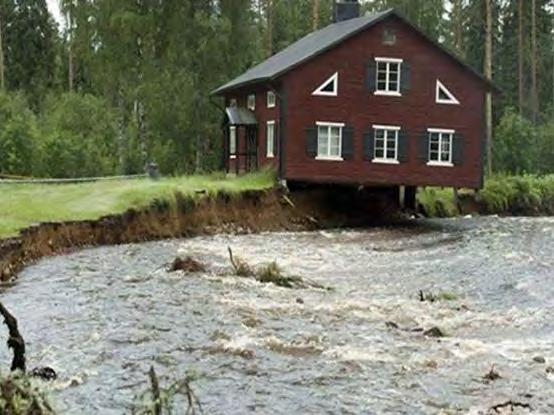
44 HIGHER STANDARDS

45 What are higher standards? Standards that reduce impacts of existing and climate stressors Implemented through: Limiting land use Zoning standards Mitigation requirements Sibley Co. CR 6 NWS photo
 and property tax base from declining water quality and habitat Savings on flood insurance")
46 Why pursue higher standards Reduce risks AND costs to health, safety and infrastructure from flooding to outdoor recreation and tourism industry (jobs) and property tax base from declining water quality and habitat Savings on flood insurance premiums
47 What is your best argument for preserving natural shoreland vegetation? A. Aesthetics to maintain character B. Stabilize soils C. Filter and slow runoff D. Provide habitat E. Water quality = property values F. Other
48 Regulate Development in Sensitive Areas Application of standards designed to protect specific resources and their functional values. Shoreland Floodplain Bluffs Groundwater recharge Watersheds at risk Other environmentally sensitive areas

49 Expand Shoreland District Cass Co 1,320 feet (1/4 mile) from OWHL for Lakes Beltrami Co 1,000 feet from OWHL for rivers

50 Designate Waters for Special Shoreland Protection Identify waters in need of special protection (sensitive shoreline, phosphorus sensitivity, high recreational value) and apply higher development standards to those waters that address the risks. Beltrami Sensitive area Special protection Itasca Phosphorus Sensitive Lakes Trout streams CWC Special Shallow Lake Cold water Beltrami Co. Zoning Map


51 Beltrami Zoning Map Lakes of Phosphorus Sensitivity

52 Reduce Impervious Surface Coverage Hard surface that prevents entry of water into soil and increase surface runoff volume and rate. Usually measured as percent of lot area. Minnesota Rules: Shoreland standard: 25% Lower St. Croix: 20% Crow Wing County: 15% - 30% depending on stormwater plan Otter Tail County: Total 25%, buildings - 20% Itasca County: GD Lake: 20% RD Lake: 15% NE/P-Sensitive: 12% Minnehaha Creek Watershed District: No new impervious surface may be created within the 10-year floodplain greater than ten percent (10%) Use Hard Surface instead of Impervious Surface

53 Buildable/Suitable Lot Area Contiguous area for structure placement after accounting for setbacks, bluffs, easements, ROW, wetlands, land below OHWL, historic sites, and septic. Additional requirement for determining minimum lot size. Examples: Hubbard Co: 50% of minimum lot area Crow Wing Co: 50% of minimum lot area requirement Itasca Co: 10,000 sf min Cass Co: starts at 12,000 sf

54 Increase Minimum Lot Area Existing Shoreland classifications Special protection classifications Examples: Hubbard Crow Wing Itasca

55 Increase Structure Setback from OHWL Distance between the Ordinary High Water Level (OWHL) and the structure. Setbacks protect water quality and scenic value by providing space for vegetation that filters nutrients and enhances aesthetics. Itasca Co: GD Lake: 75 ft (50 ft) RD Lake 100 ft (75 ft) Minnetonka Beach Setback established by mapped setback line. Line ranges from 50 ft. to 75 ft. based on existing development.

56 Increase Structure Setback from Bluffs Distance between the top of bluff and structure. Setbacks reduce risk of slope failure and erosion and reduce visual impact from waters. MRCCA Rules: 40 ft 100 ft. Beltrami: redefined top and bottom of bluff effective 40 ft. setback
 Beltrami Co: GD: 75 ft. (50 ft.) RD: 100 ft. (75 ft)")
57 Increase Septic Setbacks Itasca Co: 30 ft from top of bluff (none in SL Rules) Beltrami Co: GD: 75 ft. (50 ft.) RD: 100 ft. (75 ft)

58 Establish Riparian Buffer Standard Specify: Width Length Type Require restoration for violations Baseline for mitigation

59 Which practices would most effectively reduce erosion? A. Maintaining natural shoreline vegetation B. Riprap or other structural measures C. Restricting density D. Setbacks of structures from shoreline E. A and D