CITY OF AUSTIN'S REGULATORY FRAMEWORK FOR CREEK PROTECTION
|
|
|
- Quentin Thomas
- 5 years ago
- Views:
Transcription


1 CITY OF AUSTIN'S REGULATORY FRAMEWORK FOR CREEK PROTECTION Liz Johnston, Watershed Protection Department Urban Riparian Symposium February 15 17, 2017 Houston, TX

2

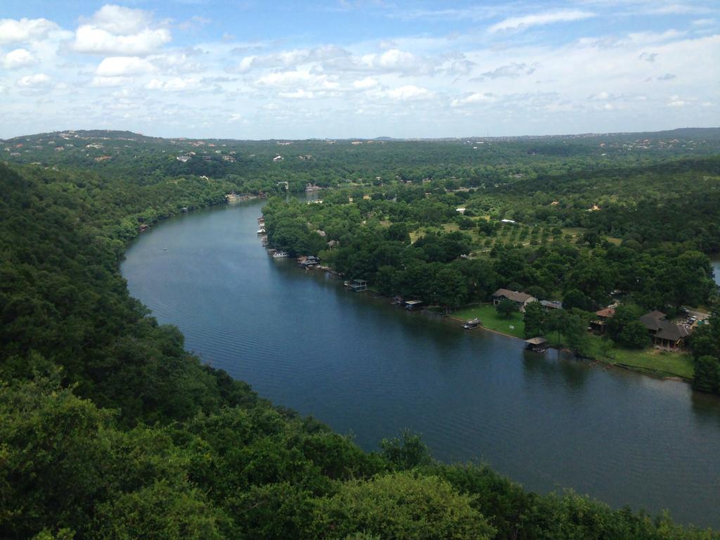
3 Valuable Resource Drinking Water Intake on Lake Austin
 Edwards Aquifer (north and south) Barton Springs Zone Blackland Prairie to east (highly erodible, slow")
4 Why is Austin s Permitting So Complicated? Escarpment to the west (shallow soils, steep terrain, high gradient, narrow floodplains) Edwards Aquifer (north and south) Barton Springs Zone Blackland Prairie to east (highly erodible, slow infiltration, wide floodplains) Fastest growing city in country (2.9%) Average new people/day between Highly engaged citizenry Barton Springs

5 Flash Flood Alley Photo courtesy of Austin History Center

6 Drought Lake Travis, 2011 (photo by LCRA via KUT.org

7 Fully-Developed 100-Year-Floodplains Full Purpose Zoning Jurisdiction Extra Territorial Jurisdiction

8 Edwards Aquifer Recharge Zone North Edwards Aquifer Recharge Zone South Edwards Aquifer Recharge Zone

9 Brief History of Austin s Watershed Regulations 1974: Waterways Ordinance Drainage ditches preferable to storm sewers in urban subdivisions, Defined Waterway: A stream, creek, branch, drainway or watercourse Development plans adjacent to a waterway submitted to director of engineering for approval No adverse flooding, take into account future development when considering flooding, stagnant water prohibited Preservation of the natural and traditional character of the land and waterway to the greatest extent feasible 1978: First Lake Austin Watershed Ordinance : Multiple various watershed ordinances 1986: Comprehensive Watershed Ordinance (CWO) 1991: Urban Watershed Ordinance 1992: Save Our Springs Ordinance (Established the Barton Springs Zone non-degradation requirements) 2014: Watershed Protection Ordinance (WPO) Future: CodeNEXT

10 Watershed Regulation Areas WATER SUPPLY SUBURBAN URBAN WATER SUPPLY RURAL BARTON SPRINGS ZONE EDWARDS AQUIFER RECHARGE ZONE SUBURBAN
 Floodplain Modification Criteria Erosion Hazard Zone")
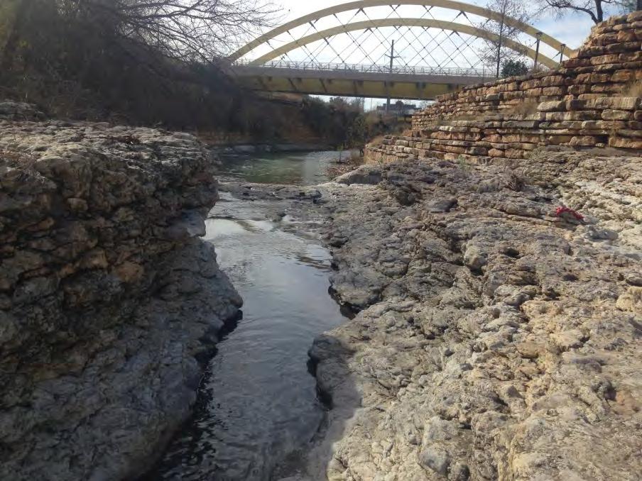
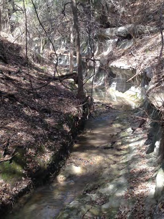
11 Creek Regulations Creek Buffers depending upon drainage area and geographic location (Critical Water Quality Zones and Water Quality Transition Zones) Open channels preferred Water quality and detention ponds Restoration criteria established Protection of other environmental features (wetlands, springs, seeps, caves, canyon rimrocks) Floodplain Modification Criteria Erosion Hazard Zone analysis

12 Why creek buffers?

13 Why creek buffers? Creek buffer if Current Code Applied


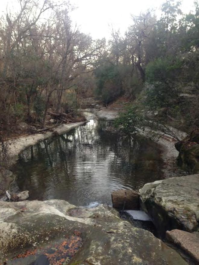
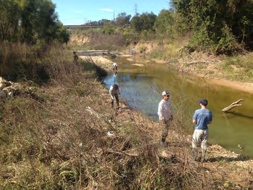
14 East Austin Headwater Creeks Perpetually maintained and mowed Erosion issues Lack of riparian functioning and habitat No room for meander

15 Critical Water Quality Zones Buffers depend upon Drainage Areas and Geographic Location Urban Creeks: CWQZ same as 100-year-floodplain with 50 minimum and 400 maximum Suburban Creeks (East): Not tied to Floodplain Minor acres of drainage 100 CWQZ Intermediate acres of drainage 200 CWQZ Major +640 acres of drainage 300 CWQZ Buffers can be averaged Half CWQZs established to allow more intense use Drinking Water Protection Zone and Barton Springs Zone (West) Same Creek size categories as Suburban Buffers same as 100-Year-Floodplain, but with min/max setbacks Minor Intermediate Major Barton Creek always 400 from centerline Water Quality Transition Zones also established, providing additional protections No buffer averaging allowed No half CWQZs Colorado River established from OHWM 100- year-floodplain with 200 minimum Lake CWQZs established from shoreline depending upon use

16 Barton Springs Zone Creek Setbacks Unclassified Minor Intermediate Major Barton Creek Critical Water Quality Zone Water Quality Transition Zone

17 Suburban Creek Setbacks Unclassified Minor Intermediate Major Colorado River

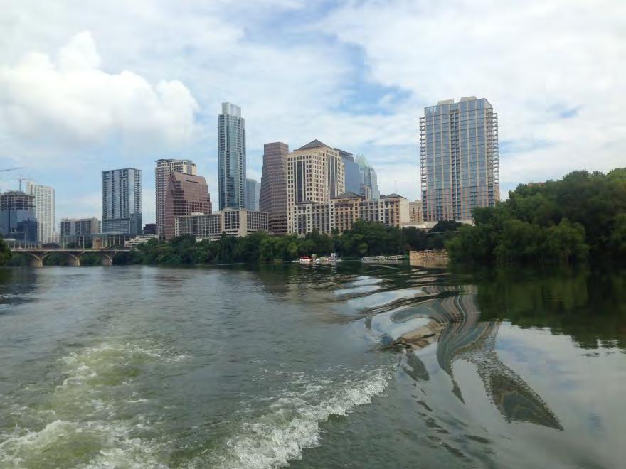
18 Urban Creek Setbacks Lady Bird Lake Downtown Exempt 100-Year-Fully Developed Floodplain 50 min, 400 max Underground Pipes Exempt
 Boat docks/shoreline access along lake shorelines Athletic fields Green stormwater infrastructure Streets/Sidewalks/Trails depending")
19 Critical Water Quality Zone Allowances Allowable development depends upon Watershed Regulation Area Types of uses allowed in CWQZs (depending): Open space Fences Community gardens Multi-use trails Necessary utility line crossings (most direct path through CWQZ) Boat docks/shoreline access along lake shorelines Athletic fields Green stormwater infrastructure Streets/Sidewalks/Trails depending upon type of street, size of creek, and distance from nearest crossing Floodplain Modifications


20 Floodplain Modifications Allowed: If necessary to protect public health and safety, Provides a significant, demonstrable environmental benefit, as determined by a functional assessment of floodplain health, Is located within a floodplain area classified as in fair or poor condition, as determined by a functional assessment, or Is necessary for development already allowed in a CWQZ

 5 measures 7 measures 24 measures Lake Shoreline 3")
21 Functional Assessment of Floodplain Health Tool of riparian function Provides scoring for poor, fair, good, or excellent health 3 zones for Creeks 4 th zone for Lake Shoreline (3 measures) 5 measures 7 measures 24 measures Lake Shoreline 3 measures
22 Functional Assessment Zones Zone 1 Floodplain outside of CWQZ Zone 2 CWQZ Zone 3 Active Channel Zone 4 Lake Shoreline
 Wetland Tree Status Riparian Zone Width Zone 3 (Active Channel) Riparian Zone Width Mass Wasting Scouring/Deposition Undercutting Entrenchment Ratio")
23 Functional Assessment Zone 1 (Floodplain outside of CWQZ) Gap Frequency Large Woody Debris Soil Compaction Structural Diversity Tree Demography Zone 2 (CWQZ) Wetland Tree Status Riparian Zone Width Zone 3 (Active Channel) Riparian Zone Width Mass Wasting Scouring/Deposition Undercutting Entrenchment Ratio More


24 Required Restoration Standard Specification for Native Restoration Weed Control 6 topsoil Seeding (grass and forbs) Upland, Full Sun mix Upland, Dappled Shade mix Facultative mix Planting 1 plant/100 s.f. 2 native species of trees 2 native species of shrubs Includes Milkweed species


25 Erosion Hazard Zone Analysis Required for development within 100 of centerline MEANDER BELT EHZ BOUNDARY


26 Planning for the Future: CodeNEXT Flood Mitigation for Redevelopment Current code does not require flood mitigation for redevelopment projects that do not increase impervious cover, even if constructed without sufficient detention. Reduce post-development peak rates to match undeveloped conditions On-site or off-site detention, off-site conveyance, payment into Regional Stormwater Water as a Resource Retain and beneficially use stormwater On-site retention of stormwater for the 95 th percentile storm Some payment-in-lieu options in certain conditions
27 QUESTIONS?