Groundwater Recharge
|
|
|
- Marilyn Chapman
- 5 years ago
- Views:
Transcription

1 Groundwater Recharge Techniques and Challenges Troy E. Gilmore, Assistant Professor/Extension Specialist Conservation and Survey Division SNR Biological Systems Engineering Vadose Zone Workshop, March 1, 2017
2 What was an early Greek conceptual model for the source of groundwater? A. Underground tunnels carry ocean water to inland areas B. Rain infiltrates into the earth C. Streams leak into the ground D. Groundwater is produced from rocks 0% 0% 0% 0% Caverns that carried ocean water to inland areas Rain that infiltrated into the earth Streams that leaked into the ground Produced from rocks
3 Why we care about recharge Groundwater quantity rate at which aquifer is replenished influences how long GW stays in the aquifer Groundwater quality recharge influences how fast contaminants move into aquifer and how fast contaminants move out of the aquifer
4 Definitions and Key Variables Precipitation Evapotranspiration Infiltration Drainage/Percolation Potential recharge Diffuse Recharge Focused Recharge Figure 1.1, Healy 2010
5 Roadmap for this talk Conceptual models Classic measurement techniques Recent developments
6 How much does this steak weigh? A. 5 lbs B. 30 ounces C. 2 grams D. 0.5 tons 0% 0% 0% 0% 5 lbs 30 ounces 2 grams 0.5 tons
7 What information did you use? A. Grocery experience B. Steakhouse menu experience C. Grams are too small for steaks D. Steak weight << steer E. All of the above 0% 0% 0% 0% 0% Steak weight < sack of flour Steakhouse menu experience Grams are too small for steaks Steak weight << steer All of the above
8 Components of a Conceptual Model Site description/variables climate hydrology geomorphology (soils, vegetation, topography) geology Use information above to get a rough picture of where, when, and how recharge will occur May be able to get a rough estimate of recharge from these variables
9 How much does this bone weigh? A. 2 ounces B. 4 ounces C. 7 ounces D. 10 ounces 0% 0% 0% 0% 2 ounces 4 ounces 7 ounces 10 ounces
 - ET and Runoff =")

10 Make no misteak, it s hard to measure R Precipitation (P) - ET and Runoff = Recharge (R)
11 Key takeaways Work from a conceptual model this is often done without calling it a model, based on known or readily available info good to expand on readily available Understand that the conceptual model may need to be refined/updated as the project moves forward Need realistic expectations for accuracy/uncertainty based on system and measurement techniques
12 Roadmap for this talk Conceptual models Classic measurement techniques Recent developments

13 Classic Resources Scanlon et al Richard Healy book
14 Three classes of techniques Conceptual models Classic measurement techniques Surface water Unsaturated zone Saturated zone Recent developments
15 *please see handout, top two plots, from Scanlon et al Simplified* Summary of Feasible Spatial Scales and Optimal Recharge Rates watershed scale SW point scale UZ SW R < 0.1 inch/yr R > 40 inch/yr
16 Strengths and weaknesses of techniques Different spatial scales Different time periods for measurements Different time scales over which recharge estimates are averaged Recharge rate measurement limits
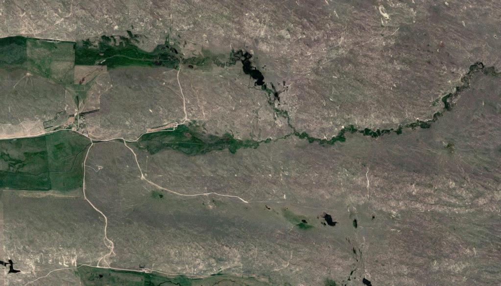
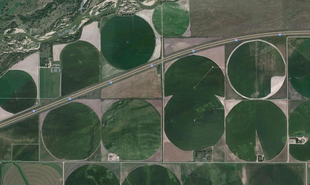
17 Surface water approaches tracers watershed models stream baseflow channel water budget seepage meters/streambed measurements
18 Surface water approach Water Budget Concept Section of stream with no tributaries or withdrawals Precipitation and ET into/out of stream is minimal Steady state, losing stream inflow stream outflow
19 Surface water approach Water Budget Concept If inflow >> outflow, seepage is fairly certain inflow stream outflow seepage How certain?
20 Surface water approach Water Budget Concept Simplest case (no withdrawals or inputs) inflow stream outflow seepage 100 ± 5 cfs 90 ± 5 cfs 10 ± 7 cfs (70% uncertainty)
21 Surface water approach Water Budget Concept Simplest case (no withdrawals or inputs) Rule of thumb: need min. of 10% difference inflow stream outflow seepage 100 ± 5 cfs 90 ± 5 cfs 10 ± 7 cfs (70% uncertainty)
22 What are source(s) of uncertainty in recharge estimates from water budgets? A. Measurement error B. Recharge is often a small difference between two large numbers C. Incorrect assumption or conceptual model D. All of the above 0% 0% 0% 0% Measurement error Recharge is often a small difference between large numbers Incorrect assumption or conceptual model All of the above
23 Unsaturated zone approaches tracers numerical models physical measurements (e.g., lysimeters)
24 Unsaturated zone approaches P Run-off ET Run-on tracers Scanlon et al modeling D Drainage = Potential Recharge

25 Unsaturated zone approaches P Run-off ET Run-on tracers modeling D Drainage = Potential Recharge
26 Unsaturated zone approaches Lysimeter P Run-off ET Run-on Drainage water
27 Unsaturated zone approaches Lysimeter P Run-off ET Run-on SCALES Drainage water

28 Unsaturated zone approaches point-scale challenges
29 Drainage below the root zone is A. Infiltration B. Always equal to recharge C. Potential recharge D. Focused recharge 0% 0% 0% 0% Infiltration Always equal to recharge Potential recharge Focused recharge
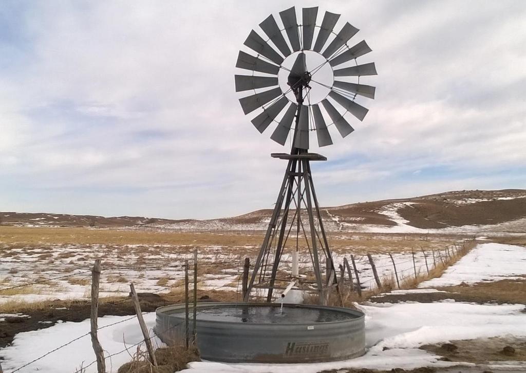
30 Saturated zone approaches tracers groundwater models physical measurements
31
32 Recharge estimates from GW transit times Simplest scenario: R = (storage)/(ave transit time) GW age-dating tracers help us estimate the average transit time Maxwell et al. 2016
33 GW age-dating tracer approach tracers are relatively expensive but one-time sampling can sometimes be used to characterize aquifer (rather than long-term monitoring) tracers average over regional/aquifer spatial scale, but also average out some temporal variability
34 Which aquifer has the lowest recharge rate? A. Thick aquifer with long GW transit times B. Thin aquifer with long GW transit times C. Thin aquifer with short GW transit times 0% 0% 0% Thick aquifer with long GW transit times Thin aquifer with long GW transit times Thin aquifer with short GW transit times
35 Roadmap for this talk Conceptual models Classic measurement techniques Recent developments Statewide recharge maps (Szilagyi) Soil moisture monitoring (Franz, Wang*) Water table concept (Zlotnik, Gilmore, Johnson*) *student or post-doc
36 Statewide Recharge Map (Szilagyi et al. 2013) Methodology Process get land surface temperatures from satellite data convert temperatures to ET calculate precipitation subtract ET from precipitation and adjust for runoff note: scale = 1 km 2 grid
 -23 inches/year +10")
37 Statewide Recharge Map Results general patterns make sense (high/low) potential for negative recharge convenient for application in models uncertainty is 10-15% of precipitation (+/- 1 to 5 inches/yr) -23 inches/year +10 inches/year
38 Soil Moisture Network (vadose zone modeling)
39 Soil Moisture Network (vadose zone modeling) Methodology soil moisture at 4 depths (max 100 cm) inverse modeling using Hydrus 1-D model *recharge = amount of water that passed through lower boundary of model (1.5 m deep)
40 Highest Recharge (4 6 inches/yr)
41 Soil Moisture Network (vadose zone modeling) Results Recharge = 0 to 6.3 inches/year Results generally about 0.7 to 1.3 in/yr > than Szilagyi Used public data and literature values good potential for wider use Still point data, but could be repeated over time

42 Water Table Contours
43 Water Table Contours Methodology Model streams are two parallel drains with same slope water table contours develop based on balance between stream slope, aquifer conductivity, and recharge rate no regional groundwater flow
44 Water Table Contours PRELIMINARY RESULTS
45 Water Table Contours Results Areas with good distribution of wells gave reasonable results Area with only 19 wells gave a rough approximation (may also be impacted by regional flow) Results generally higher than Szilagyi s statewide map Applicable in limited number of regions
46 Recharge Overview Three primary categories of studies Surface water Vadose zone Saturated zone New approaches are emerging, giving broader perspective, helpful comparisons, and increased ability to integrate into other studies
47 Water balance approaches are affected by uncertainty in: A. Precipitation B. Evapotranspiration C. Runoff D. All of the above 0% 0% 0% 0% Precipitation Evapotranspiration Runoff All of the above
48 The first step for any recharge project is: A. Buy expensive equipment B. Develop conceptual model C. Apply a tracer technique D. Measure precipitation 0% 0% 0% 0% Buy expensive equipment Develop conceptual model Apply a tracer technique Measure precipitation
49 An important factor to consider when choosing recharge measurement techniques: A. Ideal spatial scale B. Anticipated recharge rate C. Ideal time scale D. All of the above 0% 0% 0% 0% Ideal spatial scale Anticipated recharge rate Ideal time scale All of the above
50 Thank you. Troy E. Gilmore
51 Statewide Recharge Map (Szilagyi et al. 2013) Methodology Conceptual model/assumptions change in GW storage is small net lateral GW flow is small impervious confining unit below study area Scale = 1km 2 grid
52 Developing a conceptual model from scratch Figure 1.2, Healy 2010
53 Conceptual Model: arid versus humid climate Maxwell et al. 2016


54 Conceptual Model: Example: Where should we measure recharge in the arid system???
55 Age-dating tracers provide estimates of transit time Tracers used in NE 222 Rn 3 H- 3 He CFCs 14 C
56 Scanlon et al Optimal recharge measurement rates
57 Scanlon et al Recharge averaged over these areas
58 Scanlon et al Recharge averaged over these timescales
59 Surface water approaches Baseflow approach defined watershed discharge measured at outlet over a period of time
60 Surface water approaches Baseflow approach Calculated baseflow = groundwater discharge* Theory: measure baseflow in a stream (watershed outlet), then divide by contributing area
61 Surface water approaches Baseflow approach???? Uncertainties how big is the contributing area?? is there groundwater inflow from other areas?