Responding to Natural Resource Damage Associated with the Enbridge Line 6b Oil Spill
|
|
|
- Annabella Austin
- 5 years ago
- Views:
Transcription

1 Responding to Natural Resource Damage Associated with the Enbridge Line 6b Oil Spill Jay K. Wesley Southern Lake Michigan Unit Manager Fisheries Division Michigan Department of Natural Resources Stephanie Millsap, Ph.D. Contaminants Specialist U.S. Fish and Wildlife Service Michigan Chapter Soil & Water Conservation Society March 6th, 2013
2 Responding to Natural Resource Damage Associated with the Enbridge Line 6b Oil Spill Incident DNR Response Incident Command Wildlife Recovery and Rehab NRDA Process NRDA Activities


3 Incident July 26, 2010


4 Incident 30 Pipeline Ruptured Over 1 million gallons of tar sands crude oil released


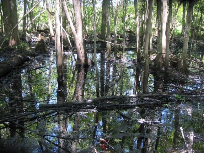
5 Incident Ceresco Dam Battle Creek Morrow Dam Morrow Lake Marshall Source


6 DNR Early Response Wildlife Recovery
7 DNR Early Response Wildlife Recovery and Rehabilitation USFWS (lead), USDA, MDA, MDNR, Binder Park Zoo, Volunteers, and Enbridge Contractors.

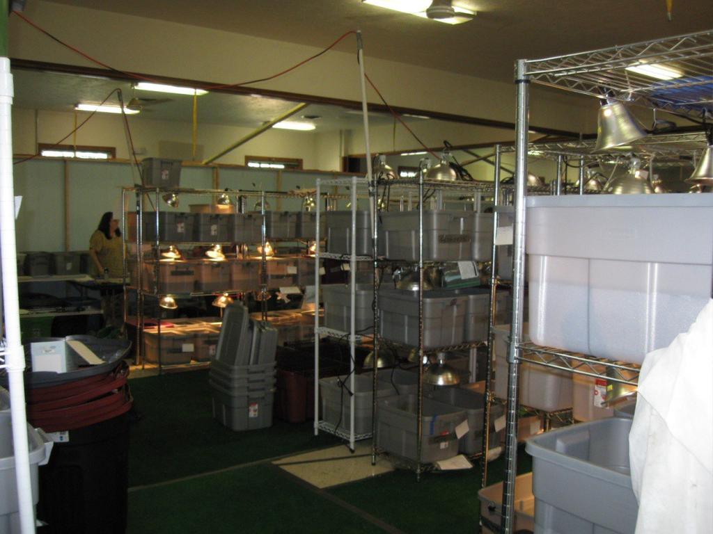
8 Wildlife Recovery and Rehabilitation Center


9 Wildlife Recovery and Rehabilitation Center

10

11 DNR Early Response Safety Training HazMat Training


12 DNR Early Response


13 DNR Early Response Equipment Decontamination

14 Incident Command Enbridge Marshall Office Calhoun County Emergency Command Marshall High School Warehouse in Marshall
15 Operations Technical Service Group Air Ops Branch Wildlife Environmental Assessment Brach Monitoring Branch Environmental Compliance and Oversight Branch Oil Recovery and Cleanup East Branch Oil Recovery and Cleanup West Branch Wildlife Field Recovery Group Air Monitoring Task Force Source Area Division A Division C NRDA Group Water Sampling Task Group Talmadge Creek Division B Division D Wildlife Care Group Sediment Sampling Task Group Kalamazoo River Shoreline and Floodplains Oversight Monitoring Group Division E Wildlife Support Group SCAT Waste Management T & D Submerged Oil Task Group DECON Branch Morrow Lake Task Group Oversight Monitoring Group


16 Incident Command ICS-204 Standard Operating Procedures Safety and Deployment Meetings


17 Incident Command Excellent Communications


18 Wildlife Rehab


19 Wildlife Rehab # Rehabilitated Birds Turtles Mammals % Recovery ,
20 NRDA Process Natural Resource Damage Assessment and Restoration A structured process defined in regulations: Determine injury through time to natural resources due to a release of oil Assess damages for injuries to recover and restore trust resources and their services Recover damages as money or restoration projects via a negotiated settlement or litigation Implement and evaluate restoration Government agencies (Trustees) act on behalf of the public Compensatory, polluter pays
21 NRDA Statutory Authority National Contingency Plan (NCP) Oil Pollution Act (OPA) Comprehensive Environmental Response, Compensation, and Liability Act (CERCLA) Clean Water Act (CWA) State laws (NREPA)
22 NRDA R GOAL Restore injured natural resources and the services they provide For NRDAR, restore means: restore, rehabilitate, replace, or acquire the equivalent of injured natural resources and services Make the environment and public whole for injuries to natural resources and services resulting from an incident involving a discharge or substantial threat of a discharge of oil (OPA)
23 NRDA Process Trustees seek to determine: What natural resources are/have been injured? What was the extent of the injury? Spatial extent Duration Severity How long will the injury take to recover? How much restoration is needed to compensate for the injuries over time?


24 NRDA - Trustees Trustees act on behalf of the public


25 Assessing Damage
26 Trustee Approach to Assessment Identify probable injuries What data are response agencies collecting that can be used for injury characterization? Coordinate with response agencies to share the data Identify data gaps, develop sampling plans What baseline data are available and how informative are they? Is it possible to conduct similar surveys postspill?
27 Overview of NRDA Data Collected Wildlife oiling, recovery, and release Water and sediment chemistry Extent of oiling in floodplain habitats Fish Aquatic macroinvertebrates Mussels Floodplain vegetation Impacts resulting from response actions
28 Floodplain Oiling Survey Objectives Identify and characterize extent and degree of oiling in the floodplains Characterize the general floodplain habitat types in the areas of the spilled oil Methods and Results Transects at 50m intervals 744 transects surveyed representing 23 river miles and associated floodplains 66% of transects were oiled to some extent Field observations provided to Response and data later used by Response
 Baseline data at two sites - including a long-term")
29 Fish Kill Surveys Conducted by state fishery biologists Followed previously published standard protocols No fish kills in impacted area Fish Status And Trends Conducted by state fishery biologists Followed standard protocols 6 locations (2 upstream reference sites) Baseline data at two sites - including a long-term monitoring site

30 Fish Status and Trends Fish data included: Catch per effort and length of all species Age and growth of smallmouth bass. Habitat data included: Conductivity, temperature, substrate, channel width and depth, velocity, bank and riparian condition, and large woody debris density Results Talmadge Creek fish community was reduced and habitat greatly diminished in Some recovery in 2011; further cleanup activities necessitate continued monitoring. Some declines in fish community diversity and abundance at some of the sites on the Kalamazoo River
31 PAH Analysis Water column 8 locations 3 sampling events (July August 2010) Mussel tissue and co-located sediment 12 composite samples at 4 locations Field filtered water samples 8 locations, probable fish spawning habitats 6 sampling events (April July 2011)

32 Fish Exposure and Health Data collected in cooperation with USGS 110 fish from 4 sampling locations (includes 1 upstream reference) Analyses include: Histopathology of gill, spleen, head kidney tissues Differential analysis of blood smears Health assessment index Collected and archived bile samples for possible future analysis

33 Aquatic Macroinvertebrate Survey State biologists followed preexisting protocols 7 locations Including locations with historical reference data Results Spill response activities removed some vegetation, exposing more of the stream channel to sunlight, thus there were changes in diversity and abundance. In 2011, scores improved at most impacted sites but abundance was still impacted compared to upstream reference sites and pre-spill baseline data. Ongoing cleanup work requires further monitoring.


34 Response Actions 2,500 workers on site


35 Response Activites

36 Response Activities

37 Mussel Shell Survey Assessed physical condition of postmortem mussel shells: Broken vs. crushed Degree of weathering, ranging from fresh dead to heavily worn 18 species were documented Crushed and freshly dead shells found within the spill area but not in reference area

38 Rapid Vegetation Survey Identify types of vegetation present Identify rates of invasive plant species in order to compare over time Erosion Proactively raised concerns to Response based on field observations Reviewing response plans and monitoring results

39 Recreational Use Lost use Kayaking Canoeing Boating Park use Fishing Hunting
40 NRDA Data Collection Summary Standard state-wide monitoring programs provided baseline data for comparison with postincident data Standard protocols for monitoring programs facilitate collection of comparable post-incident data at additional sites Trustees worked with Response agencies to communicate field conditions and minimize duplicative sampling efforts Trustees implemented studies that addressed data gaps specific to the incident and site characteristics

41

42 Thank You