EXECUTIVE SUMMARY DES PLAINES RIVER WATERSHED-BASED PLAN WHY A WATERSHED-BASED PLAN? WHAT IS A WATERSHED?
|
|
|
- Darrell Chapman
- 5 years ago
- Views:
Transcription


1 Des Plaines River Watershed-Based Plan EXECUTIVE SUMMARY June 2018


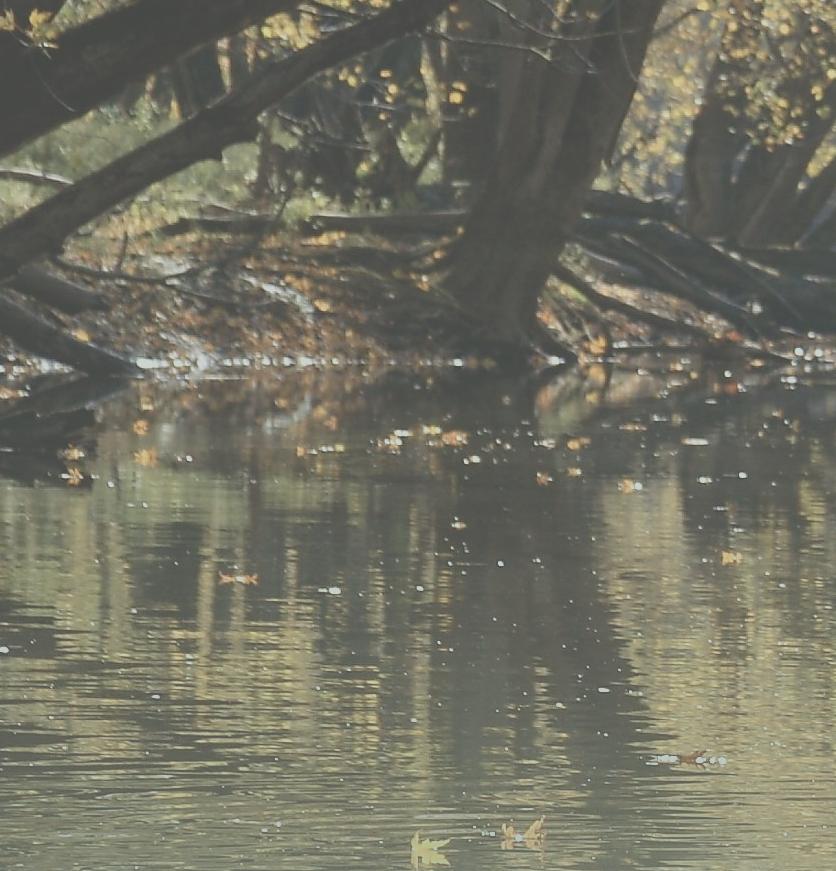
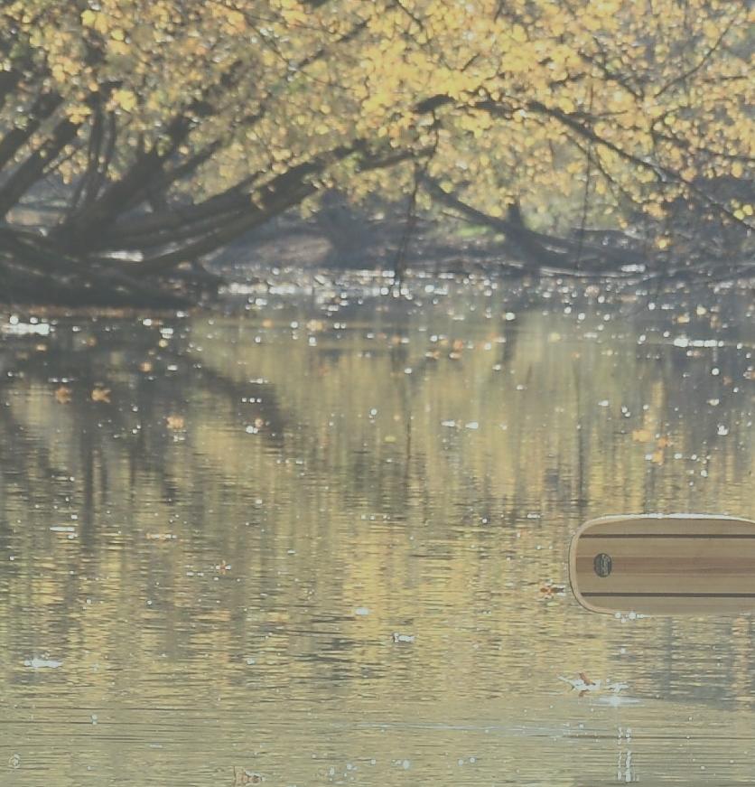
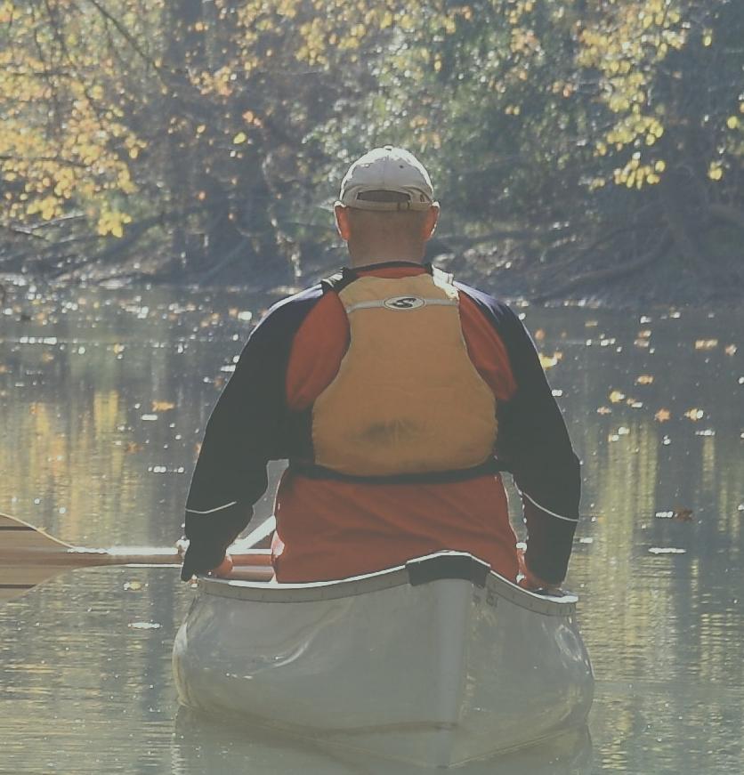
2 EXECUTIVE SUMMARY DES PLAINES RIVER WATERSHED-BASED PLAN WHY A WATERSHED-BASED PLAN? Water is elemental to our lives. Plants and animals, including humans, are largely composed of water, and generally require clean water to survive. Our communities, food systems, energy sources, and countless products that we consume everyday are dependent upon water. Despite this dependence, water is often taken for granted until it affects us directly, usually due to short supply, inundation, or pollution. This watershed-based plan is important because it specifically addresses water-related issues in communities within the Des Plaines River Watershed Planning Area. Clean and abundant water, healthy streams and lakes, and safety from flooding are important to residents and business and therefore play a significant role in the quality of life and economic vitality of our communities. Water does not generally flow according to political boundaries. Consequently, we recognize the watershed as the appropriate scale to address most water resource issues, which often involve multiple political jurisdictions. The Des Plaines River watershed planning area process brought many municipalities, townships, county agencies, wastewater treatment plant operators, and the broader community of homeowner associations, businesses, institutions, non-profit organizations, and residents (watershed stakeholders) together to plan for the management and enhancement of water resources in the planning area. During this process, the watershed witnessed record flooding as well as a comprehensive water quality monitoring effort conducted on watershed streams. This watershed-based plan utilizes these sources of up-to-date information as well as historical data to provide a comprehensive summary of existing watershed conditions and trends and recommends best practices as actions stakeholders can take to protect resources that are in good condition and restore those that have been degraded. Figure Error! No text of specified style in document.-1: What is a Watershed? Watershed diagram courtesy of Arkansas Watershed Advisory WHAT IS A WATERSHED? A watershed is the area of land drained by a river, stream, or other body of water. If rain or snowmelt is not intercepted by vegetation or does not infiltrate into the soil, it may flow over the land to a low spot in the landscape, often a body of water or wetland. The land area above a given point on a waterbody (river, stream, lake, wetland) that contributes runoff to that point is considered the watershed. 1


3 The Des Plaines River Watershed-Based Plan was created to help stakeholders better understand the watershed and to identify what actions should be taken to improve water quality, enhance and protect natural resources, reduce flood damages, reduce runoff volume and pollution, and increase collaboration and awareness among watershed stakeholders. As a resident, landowner, business or community official, you make a difference. Your actions help to: keep water in our rivers, streams, lakes and wetlands clean, reduce the impacts of flooding protect and enhance natural resources, maintain green and grey infrastructure and increase awareness of watershed issues and opportunities. This watershed based-plan also serves as an update to five watershed-based plans (six subwatersheds) that were previously completed within the planning area: North Mill Creek, Mill Creek, Bull Creek-Bull s Brook, Indian Creek, and Buffalo Creek. The Des Plaines River Watershed-Based Plan was developed as an umbrella so that completed subwatershed plans within the planning area would remain up-todate. The plan was completed following guidance from the Illinois Environmental Protection Agency and U.S. Environmental Protection Agency. Funding for this plan provided, in part, by the Illinois Environmental Protection Agency through Section 319 of the Clean Water Act and the Lake County Stormwater Management Commission. Watershed stakeholders providing feedback towards the Des Plaines River Watershed-Based Plan Education & Outreach Strategy ABOUT THE DES PLAINES RIVER WATERSHED PLANNING AREA The Des Plaines River Watershed-Based Plan covers 235 square miles in Lake and Cook Counties in Illinois and Kenosha County, Wisconsin, with the majority falling within Lake County, Illinois. This is 2

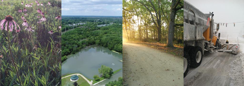
4 only a portion of the entire Des Plaines River watershed, which covers 1,455 square miles in Southeastern Wisconsin and Northeastern Illinois and is part of the larger Illinois and Mississippi River Basins. The watershed plan divides the 235-square mile planning area into 10 smaller drainage areas or subwatersheds : the Upper Des Plaines River, Lower Des Plaines River, North Mill Creek, Mill Creek, Bull s Brook, Bull Creek, Indian Creek, Aptakisic Creek, Buffalo Creek, and Newport Drainage Ditch. There are approximately 240 miles of rivers and streams, 53 named lakes, and 17,000 acres of wetlands in the planning area. Open space and residential land uses each cover approximately 30% of the planning area. Natural open space areas are comprised largely of water resources, prairies, savannas, and woodlands. Agriculture (19% of land area) and transportation/utility/waste facilities (13% of land area) also occupy substantial footprints within the planning area. Commercial, industrial, government/institutional, and office/research parks together encompass less than 10% of total watershed area but may have significant impacts on water resources, particularly where these uses are geographically concentrated. All or portions of 39 municipalities and 15 townships are located in the planning area, 29% of which is unincorporated. Drainage districts and the North Shore Water Reclamation District also have a footprint in the planning area. The population of the planning area was estimated to be just under 400,000 in WHAT IS SPECIAL ABOUT THE PLANNING AREA? The natural landscape of the planning area was formed by the retreat of a continental ice sheet more than 10,000 years ago. This process resulted in the low moraine ridges, kettle lakes and depressions, and outwash plains that give shape to the water resources and natural communities we see in the watershed today. As identified above, the planning area has a diverse mix of land uses with relatively large areas of natural and recreational open space interspersed with residential neighborhoods, commercial districts, and employment centers. Agriculture remains a major land use activity in the northern half of the planning area. The rural character in this part of the planning area has been identified as an important attribute by stakeholders. 3
5 Within the open space network are significant ecological complexes of more than 10,000 acres: one in the northern end of the planning area extending from Rollins Savanna to Red Wing Slough and one that runs along the Des Plaines River. These natural areas store and cleanse stormwater, provide important habitat for an array of plants and wildlife, and offer a myriad of recreational opportunities. The Des Plaines River corridor is an archetype of green infrastructure, providing an array of benefits including floodplain protection and flood damage reduction, open space and habitat preservation, and an unbroken recreational trail connection from north to south through the planning area. The planning area contains dozens of natural lakes and thousands of acres of wetlands resulting from the last glaciation. These lakes and wetlands often are a source of baseflow to streams, provide important habitat to native and threatened/endangered plants and wildlife and offer abundant recreational opportunities. The benefits of natural waterbodies are augmented by impounded and excavated lakes in the planning area that have been constructed over the years. CURRENT WATERSHED ISSUES AND CHALLENGES Numerous rivers, streams and lakes in the planning area are impaired by nutrients, chloride, bacteria, and other forms of pollution. Pollution enters water bodies as a result of stormwater runoff from urban and agricultural lands; from erosion of upland soils, streambanks, and lakeshores; and in permitted discharges of treated wastewater effluent to some waters in the planning area. The species of fish and aquatic invertebrates found in rivers and streams indicate degraded conditions for aquatic life. Lakes generally have high levels of nutrients, which can result in algae blooms. The presence of invasive aquatic plants and mussels are also an issue in many lakes in the planning area. Flooding affects homes and businesses in floodplains along major rivers and streams as well as locations in smaller depressional areas and urban areas where intense rainfall overwhelms older or undersized infrastructure. Record flooding on the Des Plaines River in July of 2017 was accompanied by urban flooding in many areas outside of mapped flood hazard areas. While wetland loss is not occurring at the rate it once did, wetland coverage in the planning area is greatly reduced from its former extent. The capacity of wetlands to provide beneficial functions such as flood water storage, uptake or retention of pollutants such as nutrients and sediment, and provision of baseflow to lakes and streams is correspondingly reduced. Specific watershed stressors include: Nutrients, chloride, organic enrichment, and sedimentation/siltation are major causes of impairment in rivers and streams. Nutrients, sediment, and bacteria are major causes of water quality impairment in lakes. Erosion on rivers, streams and lakes degrades water quality and aquatic habitat. Chloride levels are steadily increasing in rivers, streams and lakes in the planning area. There are thousands of flood-prone structures in the planning area. More than 4,000 structures are located in mapped floodplains, but of many of the more than 2,000 structures flooded in 2017 were outside of mapped floodplains. 4
6 Stormwater infrastructure, both traditional and green, may be insufficient for present runoff volumes or in need of maintenance It is estimated that more than half of the wetland acreage in the planning area has been lost since European settlement Stakeholders lack the knowledge, skills, and resources they need to address watershed issues Additional coordination and collaboration among jurisdictions is needed to adequately address the scope and scale of many watershed problems WHAT IS AT RISK IN THE PLANNING AREA? The amount of impervious surface in the planning area is projected to increase in the future. Increased imperviousness of the landscape results in a greater volume of stormwater runoff that must be detained or infiltrated in order to avoid an increase in downstream flood elevations. Additionally, impervious surfaces such as roads and parking lots are linked to urban pollutants such as chloride and polycyclic aromatic hydrocarbons (PAHs), which are becoming more prevalent in the planning area. Future pollutant loading scenarios based on municipal and county comprehensive plans suggest that nutrient and chloride pollution loads could increase dramatically in the future. If severe weather events such as those that resulted in the July 2017 flood become more frequent in the future, flooding in urban areas and along floodplains will be exacerbated. 10 IN 10: TEN ACTIONS FOR STAKEHOLDERS TO TAKE IN THE NEXT TEN YEARS Adopt the watershed-based plan and implement high priority actions and/or projects, including the allocation of funding for project implementation and maintenance. Determine a lead watershed organization to guide watershed plan implementation, implement the education and outreach strategy, provide technical assistance to watershed stakeholders, and coordinate multi-partner projects. Municipalities and counties work collaboratively and proactively to mitigate flood problem areas. Utilize low-impact development and stormwater best management practices in new development and retrofit/maintain existing development to reduce and filter stormwater runoff from impervious areas. Restore wetlands, particularly where they will provide additional flood storage and water quality benefits. Stabilize the worst severe eroding streambanks and lake shorelines using techniques that provide water quality and aquatic habitat benefits. Stabilize eroding fields, implementing nutrient management plans and implementing best farming practices to reduce soil loss. Reduce the amount of chloride in runoff by implementing winter maintenance de-icing best practices and providing educational trainings and materials. Implement best management practices, projects, and programs to reduce phosphorus loads in runoff. Use the results of watershed monitoring programs to strategically target projects, develop programs, and update this watershed plan. 5