Lower Rio Grande RiverWare Model URGWOM Advisory Committee
|
|
|
- Gordon Roberts
- 5 years ago
- Views:
Transcription


1 Lower Rio Grande RiverWare Model URGWOM Advisory Committee Steve Setzer Hydros Consulting Inc. September 9, 2014
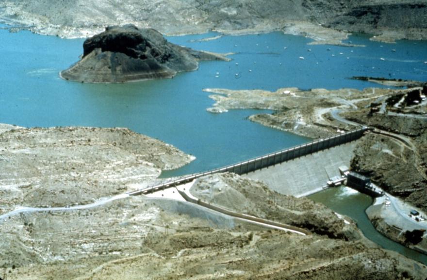
2 Previous Contract/Project Previous contract between Hydros and USACE ending September 2013 Hydros developed a daily-timestep RiverWare model of the Lower Rio Grande from Elephant Butte Reservoir to Hudspeth County Includes Elephant Butte Irrigation District and El Paso County Water Improvement District No. 1 Includes Rio Grande Project accounting and Rio Grande Compact accounting Reservoir operations according to 2008 operating agreement 2
3 Previous Contract/Project Model is designed to run in two modes: Historical/calibration mode using observed data Operations mode using 2008 operating agreement (D3 Rules) Still using historical CIR, inflows, evaporation, etc 3
4 Current Project/Contract Tasks Current Contract Hydros is sub to Tetra Tech Basic Award plus two Option Items Add integer timestep lag times Address issue of daily CIR out-of-synch with daily observed diversions Refinement of D3 policy (new operating agreement) and comparison with actual project accounting Addition of alluvial aquifer on Mexico side of river across from EP #1 and downstream of EP #1 4
5 Current Project/Contract Tasks Obtain additional data for EP #1 area of the model below Courchesne Bridge Add local inflow points for Caballo to Leasburg, Leasburg to Mesilla, and Mesilla to El Paso General improvements to ruleset efficiency and model usability Phase II (Option 1): Model Calibration Phase III (Option 2): Merge with URGWOM 5
6 Integer Timestep Lags According to the 2010 Operations Manual: River Reach Travel Time (hrs) RG at Caballo 0 0 Percha Diversion Dam 2 2 Leasburg Diversion Dam Mesilla Diversion Dam American Diversion Dam International Diversion Dam 2 68 Cumulative Travel Time (hrs) 6
7 Integer Timestep Lags In Lower Rio Grande Model: River Reach Travel Time (hrs) RG at Caballo 0 0 Percha Diversion Dam 0 0 Leasburg Diversion Dam Mesilla Diversion Dam American Diversion Dam International Diversion Dam 0 72 Cumulative Travel Time (hr) 7
8 Additional Groundwater Objects Added to the west of each under river groundwater object in EP #1 below Courchesne Bridge gage Added downstream of Tornillo Under River and Tornillo Under Irrigation objects Represent the extent of the alluvial aquifer beyond the EP #1 area (remove the effect of the no-flux boundary automatically implied by RiverWare GW objects) Currently modeled as constant head boundaries. User input offset. Large areas so water table elevation does not change in inflows/outflows 8
9 Additional GW Objects 9
10 7-day Average CIR To smooth out daily CIR values Resolve issues where daily historical diversions are out-ofsynch with daily CIR Was resulting in additional GW pumping to make up CIR on days when observed diversion < CIR Additional unused flows or waste flows on days when observed diversion > CIR Long-term solution is soil moisture modeling 10
11 7-day Average CIR 11

12 7-day Average CIR 12
13 General Improvements General improvements to ruleset efficiency and model usability Addition of configuration switches for historical vs planning mode Improvement to iterative approach to Caballo and EB releases Release start dates function of allocation (use GW early in the year) How to operate to meet demands? Right now Caballo release iteration to exactly meet demands (performance cost) Further improvements as model calibration continues 13

14 14

15 15
16 New Operating Agreement D3 Rules Used 2010 Final October Allocation spreadsheet to determine allocation logic Compared model results with final allocation spreadsheet results from those years Good match with same starting conditions for each year Working with Reclamation to verify some modeling assumptions and clarify project accounting and operations 16
17 Next Phase of Work Model Calibration Merge with URGWOM 17