Incorporating Groundwater-Surface Water Interactions in River Models
|
|
|
- Osborn Joseph
- 5 years ago
- Views:
Transcription
 and Mark Littleboy (NSW Department of Environment Climate Change")
1 National Water Commission Raising National Water Standards Program Groundwater Surface Water Interaction Tool (GSWIT) Project Incorporating Groundwater-Surface Water Interactions in River Models Ian Jolly, David Rassam, Mat Gilfedder, Trevor Pickett, Matt Stenson (CSIRO) and Mark Littleboy (NSW Department of Environment Climate Change and Water)
2 Groundwater use in the MDB The 2008 Murray-Darling Basin Sustainable Yield project found that: Current groundwater use is 16% of total water use Under current groundwater sharing arrangements, groundwater use could double by 2030 One-quarter of all groundwater use will eventually be directly sourced via induced stream flow leakage. This impacts on: Riverine ecology (particularly through reduced base flows) Downstream surface water supplies (overall reductions in flow) Water allocation (so-called Double Allocation problem)

3 Impacts of groundwater pumping on rivers From: Evans R. (2007). The impact of groundwater use on Australia s rivers ~ Exploring the technical, management and policy challenges. Land and Water Australia, Canberra.
4 GW-SW interaction modelling issues Groundwater-surface water (GW-SW) interaction processes are poorly handled in existing river models Typically lump groundwater fluxes into the unaccounted loss/gain component of the water balance and this is derived through calibration Model choice is restricted by data availability At the whole-of-river scale, the general groundwater data scarcity in Australia means that generally only low fidelity modelling is possible (i.e. parsimony) While fully coupled GW-SW models are in principle better, they are data intensive, complicated to use, and have poor river management capabilities Unlikely to be widely adopted in water management agencies Temporal scale issues need to be addressed because surface water and groundwater processes operate at significantly different timescales all about determining the time lags


")
5 ewater Source initiative The ewater CRC is building the next generation of tools to support the Australian and international water management industry Groundwater Surface Water Interaction Tools (GSWIT) have been developed for two of the river planning and management tools: Source Catchments for predicting water yield and constituents from upland un-regulated catchments River Manager for assessing long term impacts of water resource policy on system storages, flows and water shares in regulated rivers Source Catchments PERFECT- GWlag Model Source Rivers (River Manager/River Operator) GW-SW Link Model GSWIT
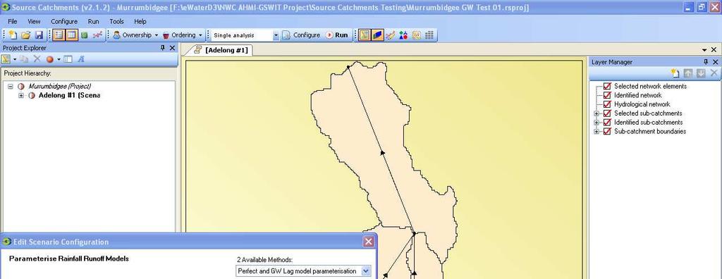
6 PERFECT-GWlag model Catchment-scale model that provides output of daily flows and salt loads at a gauging station of interest Applicable to upland un-regulated catchments Utilises groundwater flow and salt transport concepts encapsulated in the 2CSalt model developed in CRC for Catchment Hydrology Provides GW-SW interaction functionality in Source Catchments Predicts the timing of groundwater discharge to upland streams Accounts for both lateral flow (quick) and groundwater discharge (slow) Handles both gaining and losing streams Improves low flow (i.e. base flow) prediction Source Catchments provides the un-regulated surface water inflows (including base flow) to River Manager
7 PERFECT-GWlag conceptual model Rain 1-D Water Balance (PERFECT) Deep Drainage Runoff Daily Stream Flow P (scaling) fixed-delay Runoff γ PF Recharge β α ts Lateral Flow Discharge GWlag D (regional GW) L (stream losses) GW Pumping GWModelRunner (testing software)

8 PERFECT-GWlag model application Sub-Catchments DEM Soils Groundwater Parameters Land Use Functional Units Climate

9


10
11 Groundwater-Surface Water Link Model Reach-scale model that determines the exchange flux of water between a river and the underlying aquifer Applicable to regulated river systems Handles both gaining and losing (saturated and unsaturated) connections Provides GW-SW interaction functionality in River Manager Dynamically models groundwater pumping, diffuse, irrigation and flood recharge, bank storage exchange, and evapotranspiration Allows fluxes or heads from external groundwater models (such as MODFLOW) to be passed to/from River Manager Groundwater models that have been calibrated for GW-SW exchange should always be the first preference
12 Conceptualisation of GW-SW Link Model in River Manager Node1 (upstream) Estimates the GW-SW exchange fluxes due to individual processes (using analytical and empirical equations) Then uses superposition to evaluate the overall exchange flux at every time step for an entire river reach Link length L GW/SW exchange flux Processes depend on type of connection Node 2 (Downstream)
13 Cumulative Interaction Gaining river Saturated connection Overbank event Within bank event Infiltration, recharge, and discharge Bank storage Groundwater pumping Groundwater ET recharge Node1 (upstream) Losing river Groundwater table Link length L GW/SW exchange flux Unsaturated connection Processes depend on type of connection Losing river Node 2 (Downstream) Recharge driven by difference in head between river and groundwater
14 Representing GW-SW fluxes explicitly improves calibration of river models 10 4 Residual Flow s bef ore and af ter inclusion of Ground W ater IQQM residual flows before and after inclusion of groundwater exchange fluxes from MODFLOW. Boggabri to Narrabri, Namoi River, 01/01/92 to 31/12/95 01/01/1992 to 31/12/1995 B ef ore (03) Before A f ter (11) After M L /d Flow (ML/day) % Time Exceeded or Equalled % T ime Exceeded or Equaled date:19/07/10 tim e:15:51:04.64

15
16 GW-SW Link Model input data Diffuse recharge NAMOI RIVER AT NARRABRI") 2 26 Rates, areas, and their centroids were located NAMOI RIVER AT BOGGABRI")
17 GW-SW Link Model input data NAMOI RIVER AT NARRABRI") Pumping in unconfined aquifer Pumping schedules, pump locations from river and boundaries were identified Similar pumps were grouped into 13 pump clusters according to their Hydrological response time to minimise data handling and run time NAMOI RIVER AT BOGGABRI")

18
19 GW-SW Link Model versus MODFLOW +ve = Gaining, -ve = Losing
20 Summary The influence of GW-SW exchange can now be explicitly accounted for in the new generation catchment and river models should assist in a paradigm shift whereby river and groundwater modellers work together This new functionality enables: improvement in catchment-scale prediction of base flow and how it can be impacted by climate change, land use change and groundwater development removal of the GW-SW exchange fluxes out of the unaccounted loss/gain parameters in river models, thus improving their calibration explicit accounting of the time lags associated with groundwater processes, thus enhancing the forecasting capability of river models It is important to note that these tools do not replace groundwater models (i.e. MODFLOW) that have been calibrated for GW-SW exchange these should always be the first preference