Presentation at the Woodrow Wilson International Center for Scholars Charles Lawson and Willem Brakel July 23, 2009
|
|
|
- Louise Joseph
- 5 years ago
- Views:
Transcription
1 Presentation at the Woodrow Wilson International Center for Scholars Charles Lawson and Willem Brakel July 23, 2009


2

3
4 40 percent of the border between the U.S. and Canada is water Over 300 lakes and rivers are part of or cross the border Water resources and environmental problems can be anticipated, prevented and resolved at the local level before developing into international issues.


5 Governments asked the Commission s advice on how it might best help them meet the environmental challenges of the 21 st century within the framework of their treaty responsibilities

6 In the past, transboundary water issues were often seen as localized at a specific dam or structure, or were examined in isolation from other factors. Transboundary waters must be addressed in an integrative manner, including both biophysical and human aspects. new international watershed boards would adopt an integrative approach to the full range of water related issues that arise in the transboundary environment
7 Strengthen the capabilities of existing boards to anticipate and respond to watershed issues Employ a broader, systemic perspective Expand outreach and cooperation Promote the development of a common vision Develop a better hydrologic understanding Create the conditions for the resolution of specific issues.

8
9 Souris River Red River Rainy River / Rainy Lake St. Croix River
10 St. Croix: GIS atlas; modeling; State of the Watershed Report; fish ladders; CSOs Red River: flood mitigation strategy; Devils Lake parasites and pathogens Rainy River/Lake: hydropower peaking and fish spawning; floodplain mapping; rule curve assessment Souris: basin mapping; public outreach bulletin
11 Alaska/B.C./Yukon Osoyoos Lake Flathead River St. Mary River Great Lakes Lake Champlain Okanagan River Milk River

12 Hydrographic Data Harmonization Lining up rivers and other features Connecting elevation contours Matching lines that define catchment areas Consistency in terminology for geographic features, ground cover and land use

13
14 CLIMATE CHANGE Warmer temperatures Increased precipitation: More rain, less snow Increased runoff and increased drought Changes in natural stream flow Lengthened growing season Shifts in forest species WATER QUALITY AND HEALTH Emerging chemicals Local loadings and persistent toxic substances Eutrophication and harmful algae blooms Recreational water quality Quality of drinking water Urban sprawl
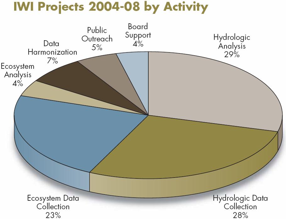
15 St. Croix River: Pilot Project for Cross Border Mapping USGS $16,627 Red River: Nutrient and Ion Data Studies International Water Institute $40,000 Rainy River: Hydrologic Data Collection USGS $93,000 Devils Lake, Red River, Lake Winnipeg: Parasite and Pathogen Monitoring USFWS $261,109 Red River: Report and Flyer on Water Regulation Jurisdictional and Policy Issues RRBC $4,313 St. Croix River: Rainfall Runoff Model USACE $192,000 Rainy River: Flow Hydraulic Models USACE $264,000

16 Red River Basin: Pembina River Refinement of MIKE 11 Hydraulic Model PFRA $28,000 Rainy River: 2000 Rule Curve Assessment Workshop Ont. Min. Nat. Res $15,000 Red River: Statistical Analysis of Water Quality Trends U. Manitoba $15,000 Red River: How Are We Living with the Red? R. Halliday $24,500 Devils Lake and Red River Basin: Fish Parasites and Pathogens Survey Env. Canada, DFO $177,724 Souris River: Watershed Backgrounder Can. Env. Assistance Consultants $25,000

17
18
19 The watershed approach is effective Emerging challenges and threats make a watershed approach increasingly necessary Watershed boards can be a model for implementing a watershed approach along the international border Each transboundary basin is different. Appropriate models, paths and approaches vary depending on local context
20 Boards: better outreach to all stakeholders; partnerships; science; leverage resources IJC: support for boards; information sharing; project transparency and accountability; improve transboundary GIS data Governments: modest but sustained funding; policy advice; more involvement of natural resource agencies

21