Wetland restoration and monitoring on the Chevelon Wildlife Area
|
|
|
- Deirdre Nelson
- 5 years ago
- Views:
Transcription
1 Wetland restoration and monitoring on the Chevelon Wildlife Area Michael Ingraldi, Ph.D. Research Branch Arizona Game and Fish Department Phoenix, Arizona The Chevelon State Wildlife Area is located within the flood plains of the Chevelon Creek and the Little Colorado River. This 670-acre wetland is dominated by two exotic plant species: alkali bulrush (Scirpus robustus) and salt cedar (Tamarix ramosissima). We will implement a wetland restoration project that re-establishes the native willow-cottonwood associations and rush/sedge wet meadow community types. The wetlands along the Little Colorado River that lie within the Great Basin desert scrub and grassland communities are severely degraded. This degradation has been attributed to overgrazing by livestock and the dominance of exotic plant species (e.g., salt cedar). We will this wetland restoration project as a model for future wetland restoration along the impaired Little Colorado River watershed. We will use wildlife species indicators (species richness, bio-diversity, density, etc.) as a measure to assess the biological health of the wetland pre and post restoration. Restoration efforts will include artesian seep improvement by eliminating salt cedar and the planting of wet meadow (native grasses, rushes and sedges) and riparian woody species (cottonwoods and willows) to improve the native structure and function of the wetland. Through implementation of this project we will analyze the costs and benefits of different methodologies to remove exotic plant species, as well as the design of native planting regimes to determine which practices will most successfully restore and maintain the natural flora and fauna necessary for an ecologically functional wetland. We will collect information prior to restoration on water quality and the presence and abundance of wildlife indicator species (e.g., small mammals, passerine birds, aquatic species) as a baseline for the eventual monitoring and comparisons of their response to the restoration treatments. Through our experimental restoration efforts we will be able to improve our ability to restore and enhance habitats as a means of mitigating for unavoidable environmental impacts in a cost effective and ecologically sound manner within Little Colorado River Watershed and similar riparian habitats. Information gathered from this project (e.g., the evaluation of ecological effectiveness of wetland restoration projects, and the gathering of information to develop management strategies to control the spread and adverse effects of invasive wetland species) can be readily used by municipalities and the Army Corp of Engineers to manage riparian associated habitats within Arizona. These watershed issues include, but are not limited to, water supply, quality, conservation, re-use, recreation, education, cultural resource preservation, flood control, and environmental restoration and enhancement. The Arizona Game and Fish Department s Wildlife 2006 Strategic Plan (specifically Challenge 4. Wildlife Habitat) advocates for securing instream flows and impound minimum water storage levels sufficient to sustain viable populations of aquatic, riparian, and wetland dependent wildlife. The Strategic Plan also advocates for, and where possible participate in, watershed restoration to improve wildlife habitat. Additionally, our efforts to restore the Chevelon State Wildlife Area ties into the U.S. Department of Agriculture s Natural Resources Conservation 1
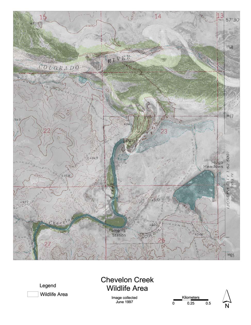
2 Service s Wetland Reserve Program and Wildlife Habitat Incentives Program These programs are nationwide landscape-scale efforts to restore and protect wetlands. The Chevelon State Wildlife Area habitat restoration and enhancement project also provides Maricopa County Flood Control and the Army Corp of Engineers with a means of mitigating for unavoidable environmental impacts associated with the 51 st Ave bridge construction in Maricopa County.. Objectives 1. Eradicate exotic woody plant and emergent species within the project area; 2. Re-establish native woody and emergent wetland vegetation within the project area, and; 3. Enhance and restore natural water flow regimes through the wetland complexes (i.e., riparian gallery and emergent wetland communities) through dike and water delivery system repair and modification. Methods Project Area The Chevelon State Wildlife Area, is located at the confluence of the Little Colorado River and Chevelon Creek, approximately 20 km SE of Winslow, Arizona (see attached maps). The Chevelon State Wildlife Area is part of the Little Colorado River watershed and consists of approximately 120 acres of degraded emergent wetlands and 45 acres of degraded riparian gallery forest (Figures 1, 2 and 3). General Approach A reconstruction plan will be developed prior to implementation of construction. This plan will include the detailed description of the water delivery systems, bank stabilization, location and type of plantings, dike and channel realignment or construction, etc. Biotic and abiotic features within the project area will be monitored before and after wetland restoration. Pre- and post-construction monitoring will provide ecological information needed to make critical management adjustments and ensure the sustainability of the restoration efforts (i.e., adaptive management). Adaptive management is the hallmark of contemporary restoration projects because the concept provides an experimental platform upon which to incorporate existing knowledge of the system into management activities, while providing enough flexibility to conduct alternative management strategies to ensure successful results. In essence, this creates adaptive monitoring, where threshold values can be improved as more species and community trend data become available. This adaptive monitoring ensures that the best management action is considered for an event in the absence of site-specific scientific data to define threshold values. Data collected in the early stages of the monitoring process can provide a baseline to guide early threshold development that can be changed as new trends are discovered. Most importantly, monitoring techniques and implementation may be adapted if for example: certain techniques are inadequately detecting metrics, there is a redundancy in monitoring techniques, new techniques become available and budgetary constraints impose monitoring limitations. The general environmental monitoring parameters will include fundamental biological indicators (e.g., avian abundance and diversity, native vegetation persistence and growth) and water quality parameters (e.g., dissolved oxygen, redox, ph, specific conductance, and Secchi disc transparency). 2
3 List of Project Cooperators and Participants Bureau of Reclamation Arizona State Parks Northern Arizona University City of Winslow, Arizona US Army Corps of Engineers Ducks Unlimited The Hopi Tribe Mckinley Soil and Water Conservation District, New Mexico Little Colorado River Plateau Resource, Conservation and Development Area, Inc. Natural Resource Conservation Service, USDA Maricopa County Flood Control Time Line Time Fall and Winter 2005 Spring and Summer 2006 Late Summer 2006 Fall 2006 and Winter 2006 Winter 2007 Spring and Summer 2007 Fall 2007 Activity Develop detailed restoration plans and monitor abiotic parameters (e.g., water quality, fluvial dynamics) Monitor bio-indicators and abiotic conditions Remove exotic vegetation and improve landscape conditions Re-construct water delivery systems & replace native vegetation Complete progress report Monitor bio-indicators and abiotic conditions Final report which will include the evaluation of ecological effectiveness of the wetland restoration project and information on management strategies to control the spread and adverse effects of non-indigenous invasive wetland species. Budget Summary Budget Item Potential Maricopa County Flood Control Funds External Funding Total Funding Needs Engineering and restoration plans 35,000 35,000 Salt cedar eradication and exotic species removal 60,000 60,000 Native vegetation plantings 45,000 45,000 Landscape improvements/grading and Bank stabilization 60,000 60,000 3
4 Water deliver system enhancement 65,000 65,000 Inventory and Monitoring 75,000 75,000 Total 230, , ,000 4

5 To Winslow, Little Colorado River Chevelon Wildlife Area Chevelon Creek Map of the Chevelon Wildlife Area 5
6 6


7 Figure 1. Emergent wetland dominated by exotic vegetation, Chevelon Wildlife Area. Figure 2. Riparian gallery dominated by salt cedar, Chevelon Wildlife Area. 7

8 Figure 3. Old remnant cottonwood trees on the Chevelon Wildlife Area. 8