Drought Indicators for the SADC
|
|
|
- Georgina Kristin Andrews
- 5 years ago
- Views:
Transcription

1 Drought Indicators for the SADC Bruce Eady DHI-SA Annual Conference Coping with Drought: Adaptions to Water Stress in the Face of Climate Change

2 Agenda Introduction Satellite Data Drought and Flood Portal Drought and Flood Portal video Dam Monitoring Dam monitoring video Conclusions
3 Introduction Extensive drought in SADC All aware of the catastrophic effects thereof Although reduced rainfall primary cause of water shortages (El Niño), ways for managing water efficiently Important that scarce resources are monitored closely One such way of doing this: using satellites Satellite data can monitor resources and be used to: create indices from historic/current changes to the environment create indices forecasting/predicting changes to the environment
 Evapotranspiration Vegetation health status Land Cover Topography Surface")
4 Introduction What parameters can be observed using satellites? Water extent (flooding) Evapotranspiration Vegetation health status Land Cover Topography Surface Temperature Cloud Cover Snow Cover Precipitation


5 Introduction What Typical parameters Products can be observed from space? MetOcean data Sea Surface Temperature Oil Spill Marine Habitat Maps Satellite Images Coastal Vegetation Digital Elevation Urban Mapping Vegetation Health Sea Ice and Icebergs Dredge Plumes Water Quality Bathymetry Coastal Dynamics Flooding ET and drought Freshwater Monitoring Land Cover - Land Use Offshore and Near shore Coastal Zone Onshore and inland


6 Introduction Why are satellite images useful? Dry season Wet season Why are satellite images useful for water management? Provide full spatial coverage of a region / country Go up to 50 years back in time to assess changes and establish baselines Get up to date information for monitoring purposes


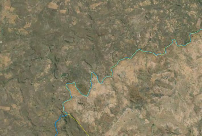
7 Flood Monitoring Flood mapping under all weather conditions (Synthetic aperture radar SAR)
8 Flood and Drought Portal Developed as part of a Flood and Drought Management Tools project Uses GIS scripts to develop various indices from satellite data Looking to be packaged to be used by water managers and water users

")
 Climate Impact Data source: TRMM Impact on")
9 Flood and Drought Portal Operational drought monitoring Drought status based on: Vegetation Impact Data source: Normalized difference vegetation index (NDVI) Impact on crop growth and yield Soil moisture impact Data source: Soil Water Index (SWI) Impact on moisture content in the upper soil layers (water availability) Climate Impact Data source: TRMM Impact on available rainfall

10 Drought and Flood Portal (SPI)
11 Flood and Drought Portal Products (from satellite data) SPI (Standardized Precipitation Index) - TRMM, NDWI (Normalized Difference Water Index) - MODIS fapar (Fraction of Absorbed Photosynthetically Active Radiation) - MODIS SWI (Soil water index) - METOP-ASCAT Rainfall - TRMM Temperature - MODIS (MOD11A1) NDVI (Normalized difference vegetation index) MODIS (16 day) Spatial and temporal comparisons of vegetation canopy greenness, a composite property of leaf area, chlorophyll, canopy structure
")

12 Flood and Drought Portal Vegetation Health Status (NDVI) Satellites can monitor health status of vegetation (e.g. agricultural crops)

13 Drought and Flood Portal (NDVI - summer)
14 Drought and Flood Portal (NDVI - winter)
15 Drought and Flood Portal (NDVI - composite) Based on available NDVI indices NDVI deviation from mean Veg condition index Standardized veg index Map expresses drought warning based on composite indices

16 Drought and Flood Portal (NDVI - composite)
17 Dam Monitoring Only few major dams monitored Many smaller dams unmonitored (by DWS) Municipal Farms High resolution satellite data can be used Monitor change in surface area of dams over time Use corresponding HVA tables to determine volume Various methods for estimating/determining
18 Dam Monitoring HVA Table (example) Altitude at dam wall Surface area of water Volume of water in dam
19 Dam Monitoring Sedimentation Taken into account for determining dam volumes Depends on dam (monitored vs unmonitored) Monitored dams DWS sedimentation data (if available) could provide an estimate for smaller dams in same area Unmonitored dams Rough estimate (USLE, RUSLE) Upstream landuse activities Local knowledge (farmers) Educated guess

20 Dam Monitoring Sedimentation (landuse)

21 Dam Monitoring Short summary video
22 Conclusions Satellite data very useful! Useful for managers in various sectors (e.g. agriculture) More holistic idea of stored water in an area (not only large, monitored reservoirs) Relatively inexpensive way to monitor surface water resources Enables more accurate estimates for planning purposes
23 Thank you Bruce Eady