MRC ASSESSMENTS ON FLOODS, DROUGHTS AND CLIMATE CHANGE
|
|
|
- Noah Horn
- 5 years ago
- Views:
Transcription

1 MRC ASSESSMENTS ON FLOODS, DROUGHTS AND CLIMATE CHANGE Initial study and BWAs of CC impacts Oudomsack Philavong, MRCS Advisor Cong Nguyen Dinh, Climate Change Adaptation Specialist, MRCS

2 CONTENTS Introduction Initial Study Basin-wide Assessment of Climate Change Impacts on Water Resources and Related Resources Summary
3 INTRODUCTION (1) The overall aim of Initial Studies is to assess Existing, Future and Residual Flood Risks in the Xe Bang Fai sub-basin, Nam Mae Kok basin and the transboundary border area of the Cambodia floodplains and Vietnam Mekong Delta. Tasks under stage 2 of Initial Studies are: 1) Assessment of Possible Future Flood Behavior Under CC, Future Upstream Development (USDs) and Future Floodplain Developments (FPDs), 2) Assessment of Future Flood Damage Estimation Relationships, 3) Assessment of Future Flood Damage and Risk, and 4) Demonstration of the Formulation of Strategic Directions to Manage Existing, Future and Residual Flood Risks in Flood Focal Areas (FFAs). 3
4 INTRODUCTION (2) LMB countries: among most vulnerable countries to CC. Basin-wide assessment of CC impact and Adaptation: recognized as urgently needed CC adaptation: reaffirmed in the Hua Hin Declaration (2010) and the Ho Chi Minh City Declaration (2014) of MRC Summit Recent MRC studies: (1) BWAs of CC impact on water resources and related resources (hydrology, flood, drought, hydropower, food security, ecosystem/ biodiversity and socio-economic); (2) Study on sustainable management and development of Mekong river, including hydropower projects ( Council Study ) 4

5 PRELIMINARY RESULT (INITIAL STUDIES) 1. The 2060 results identified the importance of retaining sufficient storage and conveyance capacity across the floodplains to store, pass and drain floodwaters. Dedicated floodways may be needed to improve the passage and drainage of floodwaters across floodplains and to river mouths and coastal outlets. The key piece of new information used in modelling was the Zoning of the Tonle Sap Lake.

6 PRELIMINARY RESULT (INITIAL STUDIES) 2. Land-use zoning in Cambodia in Cambodia and inflatable dams, floodgates and floodways in Vietnam appear to be effective options to limit future flood damage and hazard across the transboundary Mekong Delta floodplains. Simulation of Trabek and Prasat Rivers (areas) with reduction to channel flow, due to extensive development planned in this area 6


7 PRELIMINARY RESULT (INITIAL STUDIES) 3. The construction of upstream hydropower dams will have a temporary damping effect on future increases in flood levels and average flood damage. This effect is seen only for small to moderate floods and will be neutralized within a few decades by population growth and socioeconomic development.

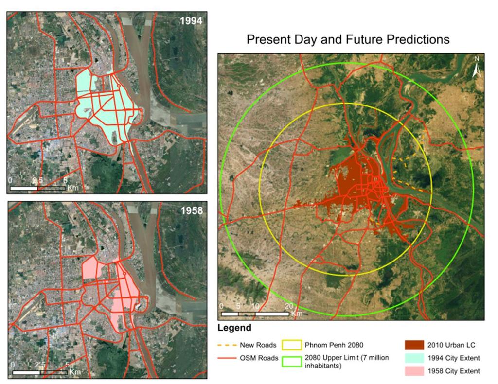
8 PRELIMINARY RESULT (INITIAL STUDIES) 4. As results of the effects of climate change become more noticeable, it is expected that this will result in even higher flood levels and greater flood damage. Increases in Water Level for different return period events Phnom Penh

9 PRELIMINARY RESULT (INITIAL STUDIES) 5. Under future population growth and plausible socio-economic developments, existing and future urban areas in Cambodia and Viet Nam may be susceptible and emergency planning for extreme floods will be needed.

10 PRELIMINARY RESULT (INITIAL STUDIES)

11 Climate Change Scenarios Climate Change Scenarios No. Type of scenarios Emission Level of Pattern of scenarios change change Low climate change scenarios GCM 1 Wetter overall GFDL-CM3 2 Drier overall GISS-E2-R-CC 3 Low Increased RCP2.6 IPSL-CM5Aseasonal MR variability Medium climate change scenarios Climate sensitivity Low 4 Wetter overall GFDL-CM3 5 Drier overall GISS-E2-R-CC 6 Medium Increased RCP4.5 IPSL-CM5Aseasonal MR variability High climate change scenarios 7 Wetter overall GFDL-CM3 8 Drier overall GISS-E2-R-CC 9 High Increased RCP8.5 IPSL-CM5Aseasonal MR variability Medium High 11

12 Climate Change Impacts on Flows CC Impacts on Hydrology (1) At key monitoring stations on the mainstream, changes assessed for the different climate and development scenarios in terms of : river flow, water level, wet season duration and peaks, dry season minimums Summary of projected hydrological impacts at Kratie monitoring station under three model scenarios (wetter, drier, increased seasonal variability) and three emissions scenarios (RCP2.6, RCP4.5, RCP8.5) with and without development impacts to 2030 and 2060 (Source: MRC, Technical Report of Climate change impacts on hydrology of the Lower Mekong Basin)

13 CC Impacts on Hydrology (2) Changes in Averages: + Dry season increases and wet season reduces + Climate Change: reduce flow in dry season (especially for drier scenarios) + Tonle Sap Lake impact for DRY SEASON flow maintenance is reduced (Source: MRC, Climate change report for the Study on sustainable management and development of Mekong River, including impacts of mainstream hydropower projects)
14 CC Impacts on Drought Behavior The % change of the different drought indicators are assessed depending on the climate scenarios and in a spatially explicit way. Changes in the frequency of meteorological, hydrological and agricultural droughts are assessed as well as changes in pattern (shift, intensity) and duration of droughts.

15 Percentage Change (%) CC Impacts on Hydropower Production 20.0% 10.0% Percentage change in energy production under 2060 scenarios 0.0% -10.0% GFDL 2.6 GISS 2.6 IPSL 2.6 GFDL 4.5 GISS 4.5 IPSL 4.5 GFDL 8.5 GISS 8.5 IPSL 8.5 Cambodia China -20.0% -30.0% -40.0% Thailand Vietnam Laos -50.0% Climate Change scenarios Change based on 2060 proposed dams (Source: MRC, Technical Report of Basin-wide Assessment of Climate Change Impacts on Hydropower Production)


16 CC Impacts on Ecosystem and Biodiversity (Source: MRC, Technical Report of Basin-wide Assessment of Climate Change Impacts on Ecosystem and Biodiversity)

17 Livelihood zones in the LMB (left) and sensitivity ranking for livelihood zones by threat (right) Forested uplands Intensively used Plains and plateaus Flood plain Delta Temperature Floods Drought incidence Saline intrusion N/A N/A N/A N/A 5 Sectors Rice productivity Maize productivity Capture fisheries Aquaculture

18 SUMMARY Currently initial studies are under implementation (it is expected to be completed in mid 2018). More results are to be made. BWA: a unique collection of knowledge - a very comprehensive study in which MCs can build on for detail information, further investigation Projected future CC and the resulting impacts are in some scenarios extreme. The implications for socio-economic systems may be profound with vulnerable communities
19 THANK YOU VERY MUCH 19