to Saving Time Routing a Path We Visualize Your World Presented By: Todd Wascher, Business Development Manager
|
|
|
- Sophie Garrett
- 5 years ago
- Views:
Transcription
1 Government/In dustry Look to Routing a Path to Saving Time and Money Presented By: Todd Wascher, Business Development Manager We Visualize Your World
2 Are we there yet? the need for routing Are we there yet? When will we get there? What is the shortest t route? What is the fastest route? What is the fastest route rig ght now considering current weather, traffic? Who's closest? How many deliveries can I schedule? Do I need a bigger/smaller fleet? Can I ride with you? Can we get there from here?
3 Efficiency & Optimization Benefits the need for routing less time in transit o shortest path, avoid traffic dela ays lower operating expense o gas, maintenance precise time of arrival o allow for downstream optimizations increase capacity o by cutting waste we can do m ore with less
4 Who usess routing? Government fleet vehicles first responders maintenance public transportation Private Industry courier services home delivery home service trucking
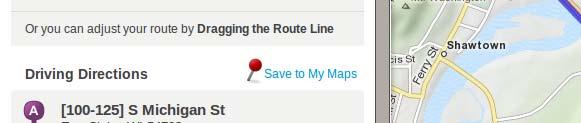
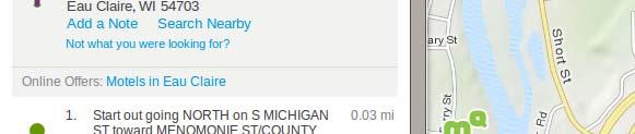
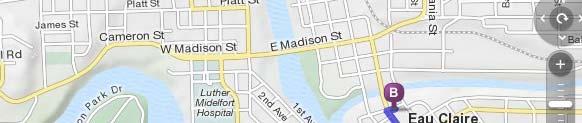
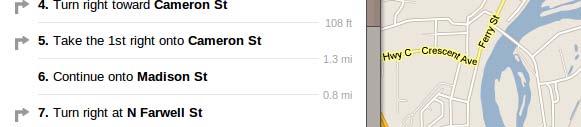
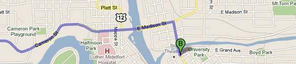
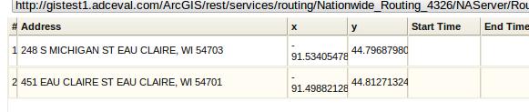
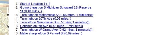
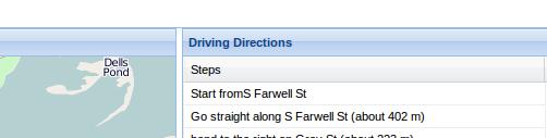
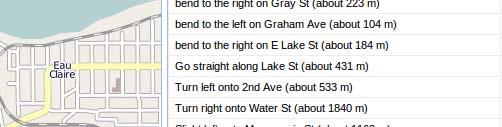
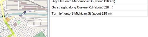
5 Routing Terminology Drive Directions (DD) - turn by turn navigation Shortest Path (SP) - least cost* path from point to point Travelling Salesman Problem (TSP) - least cost path between a set of points (traditionally the star rt point is also the end point, such that the salesman returns home after completing his stops) Travelling Salesman Problem w/ Time Windows (TSP-T) -TSP with additional time constraint Dial-a-ride Problem (DARP) -least cost path for a set of specified pickup and drop-off locations along with a desired departure or arrival time * least cost traversal of a directed d graph is Math speak for shortest t route
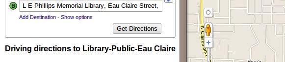
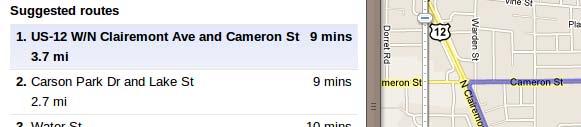
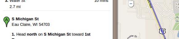
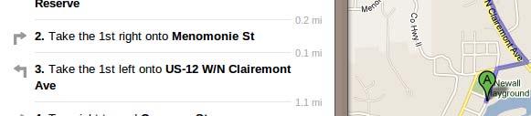
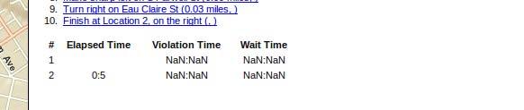
6 Web Services UPDATE: TSP Now supported by Google com/apis/maps/documentation/javascript/s services.html#waypoints
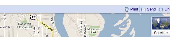
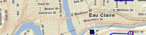
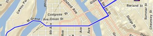
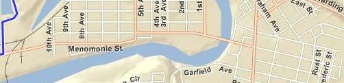
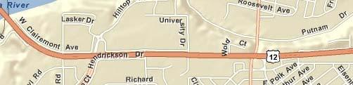
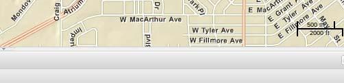
7 Data! Routing will only be as good as your data. Popular options for North American street data tiger (free) OSM (free) ESRI (available with licensed ESRI software) Navteq ($$) Open Street Map "OpenStreetMap has already changed the face of mapping, and it continued its march on today as a potential main data source for a real-time navigation application." - Jan, 2011 mapquest developer blog " when we announced our increased engagement with the open mapping community and the hiring of Steve Coast into Bing Maps, we mentioned that Bing Maps would be donating some of its imagery to OpenStreetMap (OSM) for their community to use. This imagery is now available through the Bing Maps Imagery Editor API." - Dec, 2010 bing.com blog
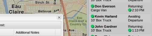
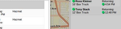
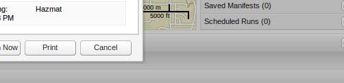
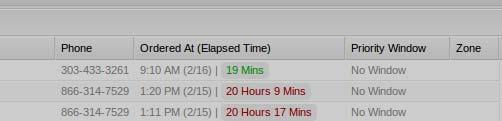
8

9
10
11

12
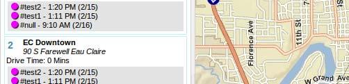
13 Smart Phones Real Time tracking with GPS previously expensive dedicated device o was only feasible for the big guys (UPS, FedEx) now capable with a phone and data plan o customized application on the device that can support multitasking, runs in background, geo-fencing, signature capture, barcode scanning, Push-to-Talk (walkie talkie connect w/ dispatch) o or simple webpage that implements the Javascript Geolocation API opened in browser on the phone
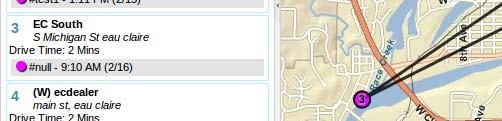
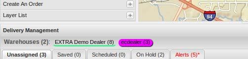
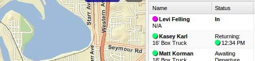
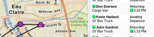
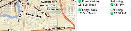
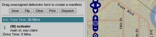
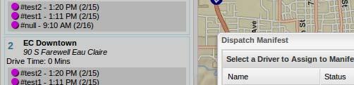
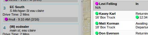
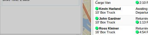
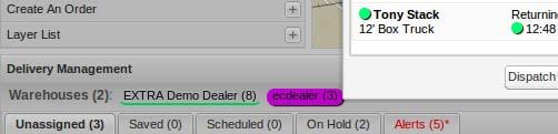
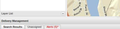
14 Elite Extra Elite EXTRA TM (Extreme Tracking and Routing Application) is an online, real-time tool that streamlines your deliveries, i while lowering your operational costs. This innovative, yet affordable delivery system transforms antiquated paper-based and phone call-dependent processes into automated and integrated traffic control centers. EXTRA automatically creates optimal routes on a web-based interactive map, increasing productivity for your dispatchers and drivers, while also reducing vehicle and fuel expenses. Not only do you increase your profit margins, you help your customers by providing a tool that shows them when their deliveries will arrive.
15


16
17
18 ANDROID DRIVER APP (page 1)
19 ANDROID DRIVER APP (page 2)
20 ANDROID DRIVER APP (page 3)
21 Than nks! (715)