UAV Data: Uses in Water Utilities. James Rennie - Chief UAV Operator and Director
|
|
|
- Primrose Melton
- 5 years ago
- Views:
Transcription

1 UAV Data: Uses in Water Utilities James Rennie - Chief UAV Operator and Director

2 A Business Case for Drones 1. Safer 2. More economical 3. Faster 4. Provide better data If a drone service meets three or more points above there is a place for drones
3 Regulatory Framework There is a sub-2kg exemption but this is under review after the 2018 Senate Inquiry CASA requires businesses/utilities to hold an Operator Certificate to fly close to structures & buildings, near people or airports, larger drones All staff that operate require an RePL which includes training and 5 hours flight There are many Local, State and Territory laws coming into effect
4 Applications With Drones it is about the data not the drone That said, there are many drones designed for specific tasks Applications to water utilities; Thermal monitoring of buildings 3D visualization and BIM Thermal assessment for the detection of leaks Internal inspections of tanks and dam infrastructure Air quality monitoring Water quality data capture
5 Limitations Flying height restricted to 400ft Proximity to buildings (not closer than 30m to buildings without permission) Require an Operator Certificate for drones over 2kg Airports and permissions RF Interference and GPS reflection Line of Sight


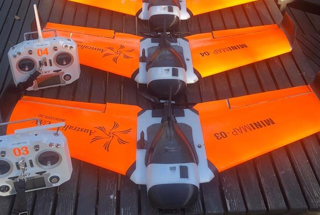

6 Drones for Different Uses

7 Building Information Modelling 3D model the asset Accurate scaled representation Locate aerial infrastructure without working at heights Inspect for damage/assets Use model for HS&E documentation/education Creating a scale digital twin


8 Visualisation of Data On-line tool View model and raw image Enables accurate location of faults/assets On-line tool stores all data spatially


9 Internal Inspections Remove the need for confined space entry Caged internal inspections Inspect ducting, tanks and chimneys Live video feed to remote On-board lighting

10 Air Quality Monitoring Remotely collect air quality data Sensor integration Can carry heavy custom payloads Safer that sending staff to hazardous locations Present the air quality data in 3D


11 Zoom Cameras for Detail Stabilised 30x zoom camera See details from a distance Ideal when cannot get close to objects


12 Thermal Ideal for initial checking Reduces issues with working at heights See inaccessible areas View live data from the ground Dual camera, can switch to video and record both
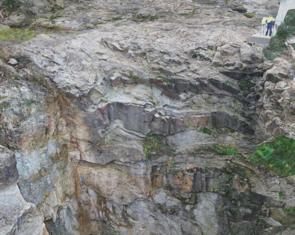
13 Spillway Monitoring

14 Feral Animal Management Thermal equipped drones Transects Ideally when the ambient temperature is cold Can spot warm pests at 900m

15 Bathymetric Survey Effluent pond surveys RTK enabled Data can be added to the terrestrial data

16 Water Quality Monitoring A drone is a tool to capture data This one collects water via two built in pumps Can be pre-programmed to return to the same sampling location Could also be designed to carry a Yeo-Kal or similar and lower the sensor into the water recording physical water quality parameters


17 LiDAR

18 LiDAR vs Photogrammetry Accuracy Costs Area coverage Flight times Vegetation
19 Piloting is 10% of a Job Flight planning Safety assessment and plans Travel Flights (about 10%) Processing Quality assurance checks Preparation of delivery materials Viewing and analysis
20 Key Questions When Considering Drones How will you present the data and for what purpose? What safety systems and compliance measures do/will you have in place? Following a full cost benefit analysis is it cheaper to outsource or develop internal capability? Can the task be undertaken more efficiently another way? Total cost of ownership, how much use will it get before it is obsolete?
21 In Summary It is not about the drones Don t settle for still images or video, drones used properly offer much more Consider the safety aspects of drone use How data is presented and stored is as important as the capture There are many other sensors that can be carried and integrated onto drones Remember; cheaper, safer, faster, better data for a drone business case.

22 More Information Sign up for our monthly newsletter My number at the conference Sometimes it is about the flying