Response and Operations System for Spill Response in Ports
|
|
|
- Douglas Carr
- 5 years ago
- Views:
Transcription

1 Response and Operations System for Spill Response in Ports John R. Harper Coastal & Ocean Resources John Silva, Brian House, Bret Magdasy, Moran Environmental Recovery Jason Scherr Prince Rupert Port Authority
 and mapping data.")
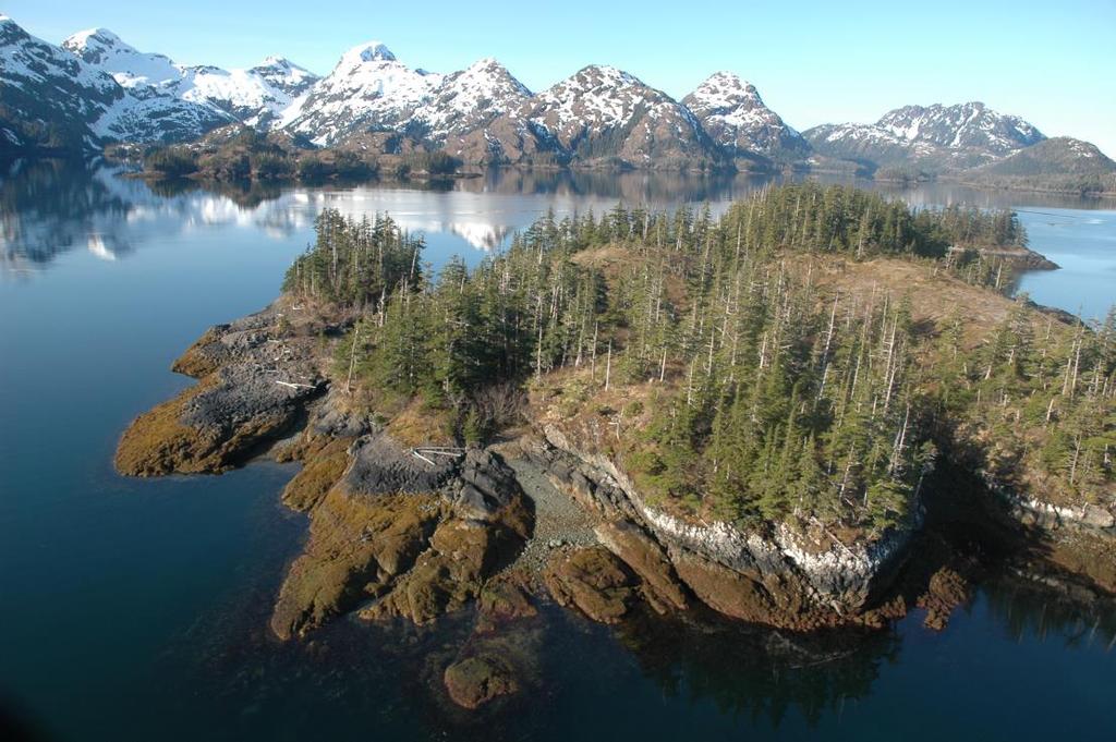
2 Extenisive marshes ShoreZone is a coastal habitat mapping system that has been widely applied in the Pacific Northwest (>100,000 km of coastline). It includes both imagery (>4 million images posted online) and mapping data. Jacksonville, Florida Pilot Project The 400 ShoreZone km of shoreline Response with Tool a wide is a subset variety of of industrial and natural shorelines that Multi-use dataset, designed port with to refineries, support tactical tank farms, spill container ports, car ports, navl base, ship response. yards 3.5 hr of HD, low-tide video and.5,000 high-resolution photos collected.


3 The ShoreZone Response Tool (SRT) was developed as tactical response tool to assist with port operations and tactical spill response. The SRT is built around a high-resolution shoreline imagery dataset that is simple to use and web accessible. Port of Jacksonville Initial implementation in Jacksonville, Florida (2013), Charleston, SC (2014). Prince Rupert, BC (mid-june 2014!)


4 Jacksonville, Florida Pilot Project 400 km of shoreline with a wide variety of industrial and natural shorelines Multi-use port with refineries, tank farms, container ports, car ports, naval base, ship yards, recreational beaches, wildlife refuges. 4 hr of HD, low-tide videography and >5,000 high-resolution photos collected.
5 Salt marshes Jacksonville, Florida Pilot Project 400 km of shoreline with a wide variety of industrial and natural shorelines Multi-use port with refineries, tank farms, container ports, car ports, naval base, ship yards, recreational beaches, wildlife refuges. 4 hr of HD, low-tide video and >5,000 high-resolution photos collected.
 narrations recorded on video audio tracks Port of")
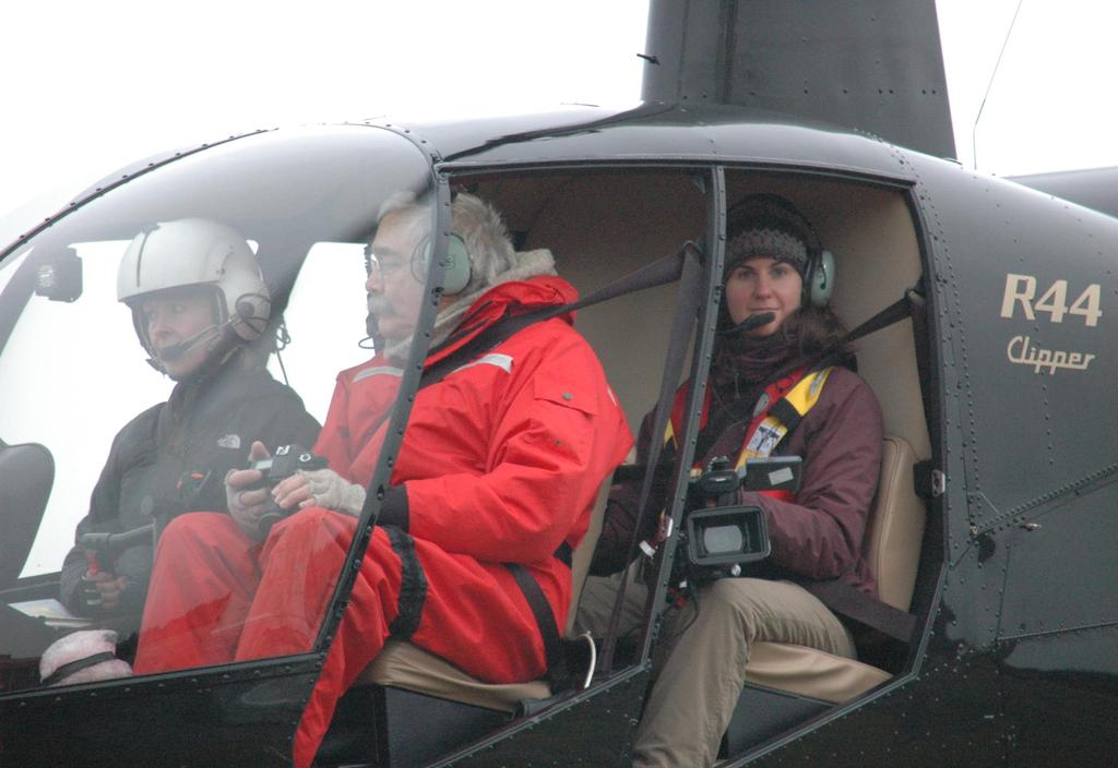
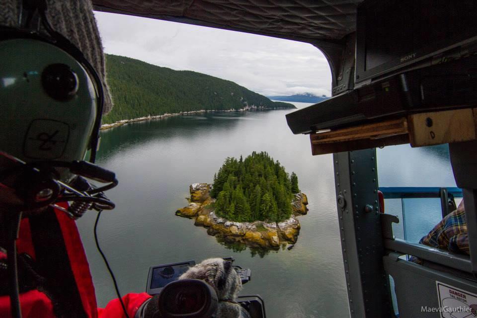
6 Imagery Collection lowest tides of the year, at low tide so entire intertidal zone is exposed use helicopter to ensure flightline flexibility very careful about position (survey-quality GPS) narrations recorded on video audio tracks Port of Jacksonville
7
8 Example of Flight Track, Jacksonville each point is a one-second fix from GPS red points indicate photo locations
9 Click on a point to view photo from point Example of Flight Track, Jacksonville points indicate one-second fixes from GPS red points indicate photo locations


10 Click on a point to view photo from point Example of Flight Track, Jacksonville points indicate one-second fixes from GPS red points indicate photo locations

11 Port of Jacksonville Imagery is a Consensus-building Tool! Two people looking at the same image will almost always agree on what they see And, they will usually agree on what the most appropriate response tactic
 winds (from real time")
12 Other Data Layers shoreline classification data (ESI shore types shown) land use or ownership data tidal currents (from real-time sensors) winds (from real time sensors)
13 Click on a strategy to view plan Geographic Response Strategies protection strategies for sensitive resource areas allow testing prior to actual events equipment can be specified for each protection point


14 Click on a strategy to view plan Geographic Response Strategies protection strategies for sensitive resource areas allow testing prior to actual events Equipment can be specified for each protection point
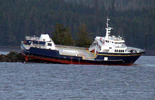
15 Dixon Entrance # # Gingolx Lax Kw'alaams # Prince Rupert S Day_1 Day_2 Day_3 Day_4 Day_5 Day_6 Hecate Strait # Kitkatla # Kitimat Port of Prince Rupert Survey (mid June) 6-day survey, ~ 2,000 km of coastline approaches, anchorages & port shoreline four native villages included
16 Port of Jacksonville ShoreZone Response Tool A tactical response tool especially designed for ports, where spill risk may be high and shorelines highly complex. The SRT is built around imagery - a consensusbuilding tool for spill events. Information is transparent and easily accessible on line. The SRT is flexible and can be adapted to meet specific requirements of a port or specific facilities with a port.

17 Port of Jacksonville Acknowledgements Prince Rupert Port Authority Moran Environmental Recovery Pacific Northwest LNG Aurora LNG
18