Appendix 9. Wright Landfill Stabilization Report 2013
|
|
|
- Trevor Hodge
- 5 years ago
- Views:
Transcription
1 Appendix 9 Wright Landfill Stabilization Report 2013

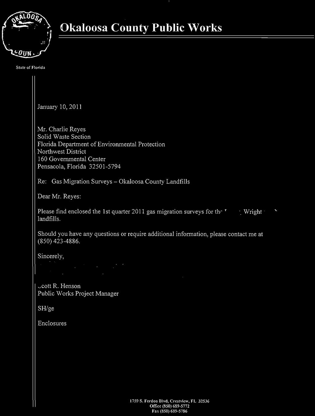
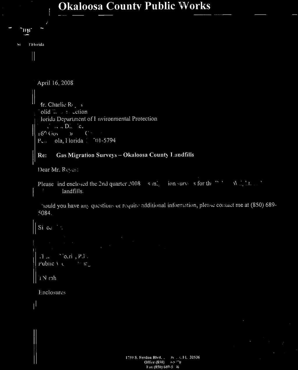
2 Board of County Commissioners State of Florida October 30, 2013 Ms. Dawn Templin Northwest District Florida Department of Environmental Protection 160 Governmental Center Pensacola, Florida Subject: Wright Landfill Lustrum Technical Report WACS ID Number 9064 Dear Ms. Templin: Okaloosa County has reviewed the enclosed Wright Landfill Lustrum Technical Report prepared by our contractor HDR Engineering, Inc. Okaloosa County has reviewed the document and commented to HDR prior to submission. If you have any questions or concerns, please do not hesitate to contact me at your convenience. Sincerely, Scott R. Henson Public Works Project Manager Artificial Reefs Coordinator 1759 South Ferdon Blvd., Page 1 of 1 Crestview, Florida Office (850) Fax (850)
3
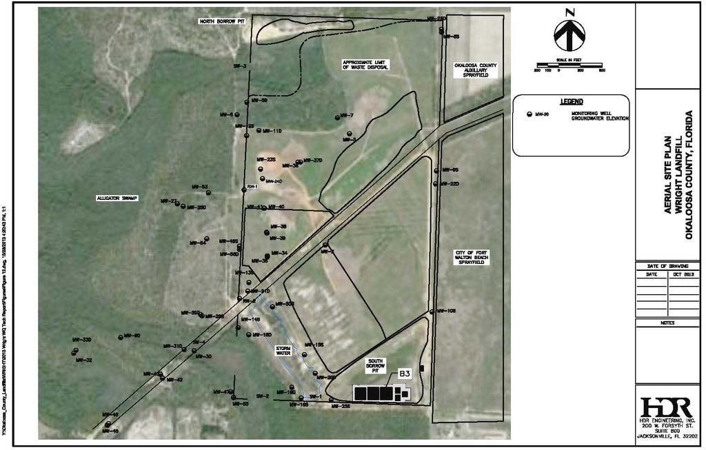
4 STABILIZATION REPORT In accordance with Specific Condition 4.2 C and Rule (6) FAC Every five years after issuance of a permit for long-term care, the permittee shall submit a report to the Department that addresses stabilization of the landfill and should address subsidence, barrier layer effectiveness, storm water management, and gas production and management. For lined landfills, the submittal shall also address leachate collection and removal system effectiveness, leachate quality, and leachate quantity. Specifically, this Stabilization Report will provide an assessment of landfill stabilization, defined by Chapter (114) F.A.C. as follows Stabilized means that biological and chemical decomposition of wastes has ceased or diminished to a level so that such decomposition no longer poses a pollution, health, or safety hazard. To address this requirement HDR staff visited the landfill and reviewed available historic gas, operations, and environmental data. A site plan/aerial photograph is provided as Attachment A, photographs of the site are provided in Attachment B, and historical gas measurements are provided in Attachment C. SITE DESCRIPTION AND HISTORY The 320-acre landfill is situated on the southern boundary of the Eglin AFB Reservation on land leased to the County by the U.S. Air Force. Local knowledge dates original landfilling or dumping activities in this area as early as the 1950's. County landfilling operations began in 1964 when Okaloosa County executed a lease on the 160-acre Section 22 parcel (northern parcel). Upon expiration of the lease in June 1974, the 160-acre Section 27 parcel (southern parcel) was added to the renewed lease. Through a number of lease extensions, the County continued to operate Wright Landfill until February 1990, when the site was effectively closed to incoming waste. In November 1991, the County initiated a yard trash mulching operation at the landfill, the product of which is currently being used to supplement final cover materials that have been placed over the landfill for the post-closure long term care and monitoring period. The landfill was certified closed in December 1994, although the yard waste operation is ongoing. The County is recently executed an extension to an agreement with the Air Force that grants the County access to 2037 to monitor and maintain the landfill during the long term care period. From 1964 to 1990, Wright Landfill served as southern Okaloosa County's primary landfill. The site accepted Class I and Class III wastes, including residential, commercial, and industrial wastes from the south county area, and solid and liquid wastes from Eglin AFB. Prior to 1985, waste disposal at Wright was accomplished by backfilling unlined trenches with refuse. Cell depths were limited by the water table to approximately feet in depth. In accordance with standard engineering practice at the time, the landfill was permitted without a bottom liner
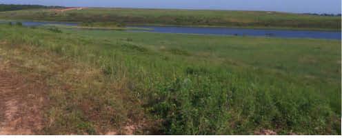
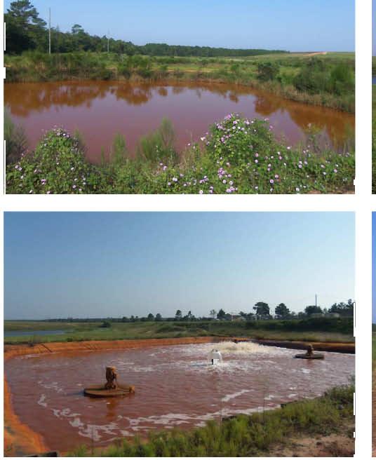
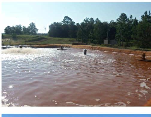
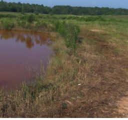
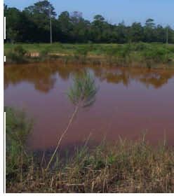
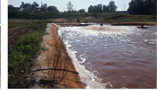
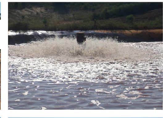
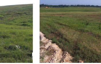
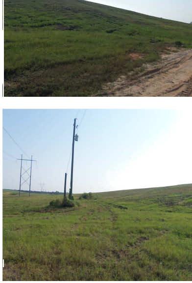
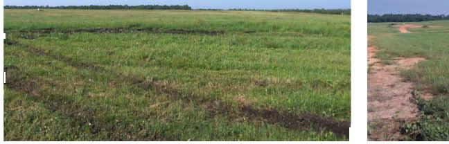
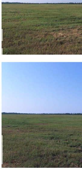
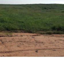
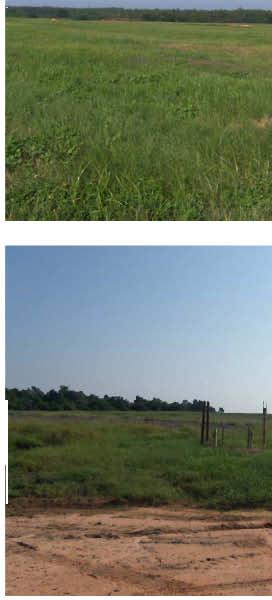
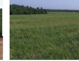
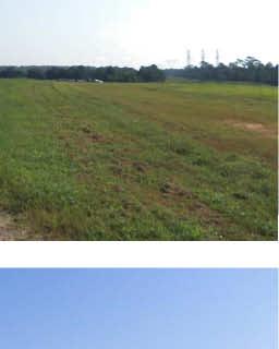
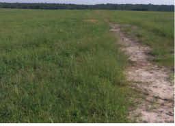
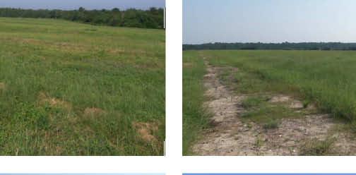
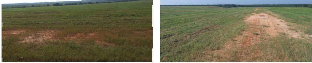
5 system and leachate collection system. Beginning in 1985, waste cells were lined with a compacted layer of sandy clay. By September 1986, incoming waste was placed in 40-mil and 60-mil HDPE synthetically lined Cells 1 and 2, which have a leachate collection system. Cells 1 and 2 were high-rised over older, unlined area containing waste. Upon closure to incoming waste in 1990, these high rise cells were completed with final cover materials, including 20-mil HDPE top liners. The operational plan called for six additional high rise cells to be constructed over old waste (adjacent to high rise Cells 1 and 2) but they were never constructed due to changes in Air Force policy and FDEP mandates. Synthetic top liners were eventually placed over old trenches in other portions of the landfill. Of the 320 acres within the leased limits of site, approximately 223 acres have been utilized for waste disposal. Attachment A contains a figure that depicts a historical site map detailing waste disposal areas and construction. SUBSIDENCE To evaluate subsidence at the landfill, HDR staff performed a walk over to visually observe potential significant subsidence areas during July and September Select photographs of the landfill are included in Attachment B. Settlement of waste is a natural process at landfills that result in subsidence evident at the surface. Settlement and the resulting subsidence tends to occur more predominately early in a landfills post closure history and less frequently later on. During the walk over there were no substantial indications of subsidence observed. Areas reviewed included the top deck of the lined high-rise portion of the landfill. The final cover of the high-rise includes an HDPE (20 or 40 mil) liner installed beneath a soil protective cover. Along the high rise portion areas of minor settlement were observed that are typical of landfills. The settlement appeared minor in nature and does not substantially impede drainage. Evidence of recent minor repairs was observed on the top deck and access road. Consistent with historical practice, the County routinely inspects the landfill and fills areas of significant subsidence which may be observed. The older trench and fill portions of the landfill have also been lined. These are utilized as areas to spread mulch which is also used to fill potential settlement areas which would obscure potential landfill settlement areas. BARRIER LAYER EFFECTIVENESS The top cover (barrier layer) was visually inspected including the top deck and side slopes. Minor areas of subsidence which are typical of landfills were noted on the lined top deck. No signs of significant erosion, ponding, or odors were noted during any of these inspections. A good stand of grass covered most of the site. During the inspections, no evidence of damage to the final cover was observed and the cover layer appears to remain intact and effective on all side slopes and top deck. Vegetative cover appears well established and maintained. Along the northern portion of the site, mulch has been emplaced above the barrier layer. The top cover appeared to be in good shape and provides an effective barrier against significant infiltration of rainfall into the landfill. STORMWATER MANAGEMENT Storm water from the site drains to ponds located in the south and southwestern portion of the site which percolate the collected runoff into the permeable subsurface sands. In general, the site slopes to the west towards Alligator Slough. Swales along the high rise portion of the landfill direct the runoff to ponds. Storm water ponds are located in the northwest, southwest and
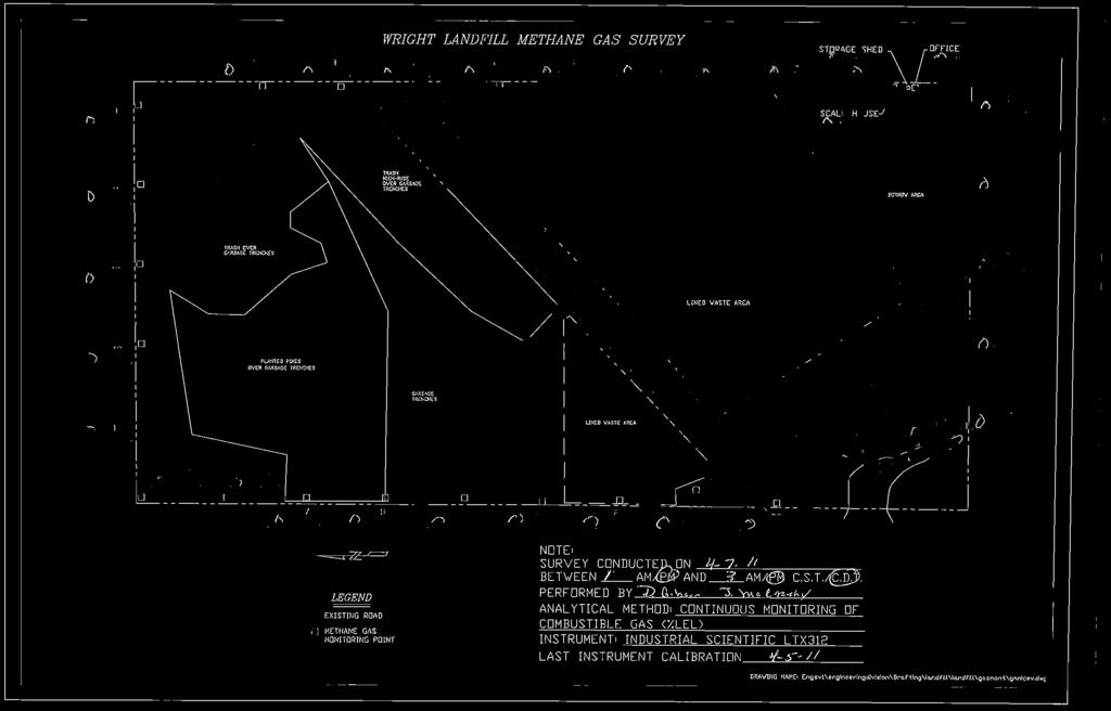
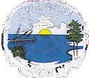
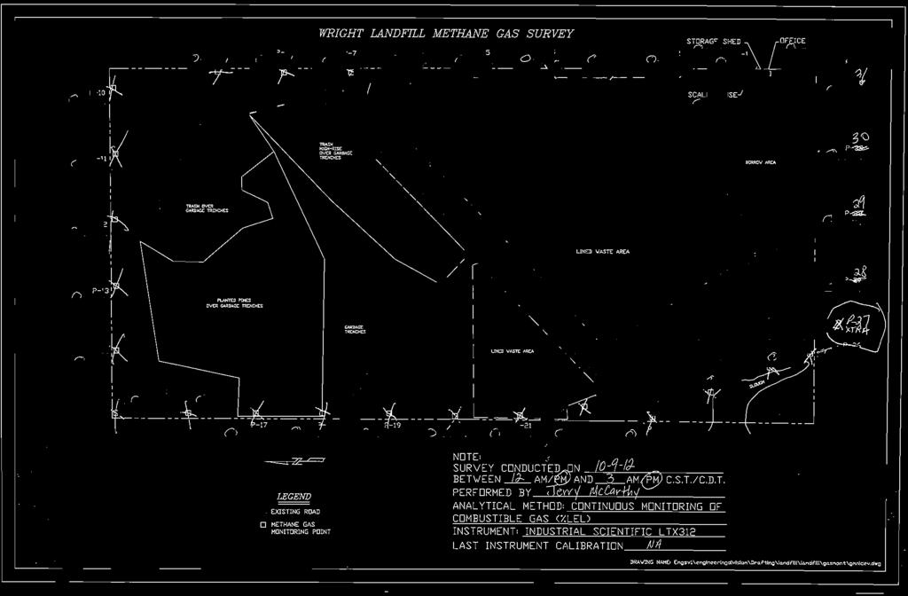
6 southern margins of the site. The storm water system at this site has remained unchanged since the site was operational and appears to continue to operate in an effective manner. GAS PRODUCTION AND MANAGEMENT Settlement and gas generation are indicators of waste decomposition. When solid waste decomposes, landfill gas is generated and the volume the waste occupies decreases which creates areas of settlement. Evidence of significant amounts of landfill gas generation can be determined by gas present in migration monitoring probes, presence of odors, and distressed vegetation. Decomposition of waste produces methane gas. Gas generation within a landfill generally diminishes with time. The site has been closed for approximately 20 years. The site walk over did not observe any distressed vegetation which would be characteristic of landfill gas migration. No landfill/landfill gas odors were evident during the site walk over on the high rise portion of the landfill. Trace odors were identifiable in the northern part of the site which appears to be associated with recent site mulching operations. We are not aware of any odor complaints from nearby residents in the past 5-year period. In accordance with the sites permit, the County has monitored landfill gas at the landfill for many years. Data from the past 10 years was reviewed and indicated no gas has been detected at the permitted perimeter monitoring locations. Attachment C contains available quarterly landfill gas reports. Based on the absence of gas detected in the quarterly monitoring program, in 2012 FDEP agreed that the frequency of monitoring could be reduced to annual. The site continues to conduct annual methane monitoring at the perimeter of the site. LEACHATE COLLECTION AND REMOVAL SYSTEM EFFECTIVENESS The high rise portion of the landfill contains a leachate collection system. Leachate from Cells 1 and 2 are collected into a tank for ultimate treatment and disposal offsite. This portion of the landfill has been effectively closed to incoming waste since 1991 and was officially closed in Since that time leachate generation has substantially decreased to the point where leachate generation is minimal. The table below summarizes leachate collection and disposal quantities from 2005 thru September Wright Landfill Yearly Leachate Generation and Disposal Since 2005 Year Gallons Annual 57.7 Rainfall (Jan Sep) The table above compares monthly rainfall and leachate generation and disposal quantities at the Wright Landfill. The correlation between annual rainfall and peak leachate generation is weak, and overall leachate generation volumes are low. Leachate quality testing has recently been discontinued. Historically the primary compounds of concern at the site have not been detected in the leachate at elevated levels.
7 SUMMARY AND CONCLUSIONS The information contained herein is presented to meet the requirements of Rule (6) FAC (Stabilization Report). Settlement and gas generation are indicators of ongoing waste decomposition. When solid waste decomposes, landfill gas is generated and the volume the waste occupies decreases which creates areas of settlement. No significant subsidence has been noted at the landfill for several years. The lack of landfill gas odors and gas migration, lack of significant settlement, and limited leachate generation suggests that the landfill is predominantly stabilized. Gas generation has reduced to the point that landfill gas has not been detected for the past 10 years. Leachate generation in the lined portion of the landfill has dramatically diminished. Groundwater impacts (including volatile organic compounds) have diminished substantially over the past 20 years, although impacts still persist at levels above Florida Primary and Secondary Drinking Water Standards in a few locations. Therefore based upon the long-term care inspection information and groundwater quality data we recommend Long Term Care water quality monitoring continue. We note that the continuing decrease in water quality impacts warrant continued evaluation of further reductions in the long term care water quality monitoring program.
8 Attachment A Site Map
9
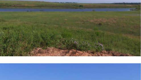
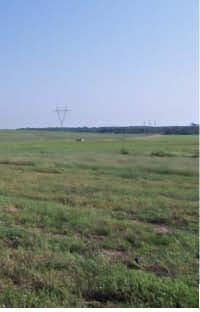
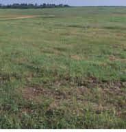
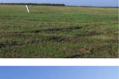
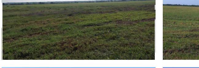
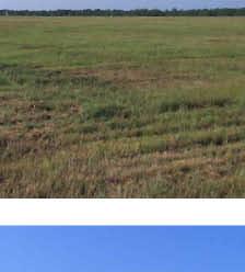
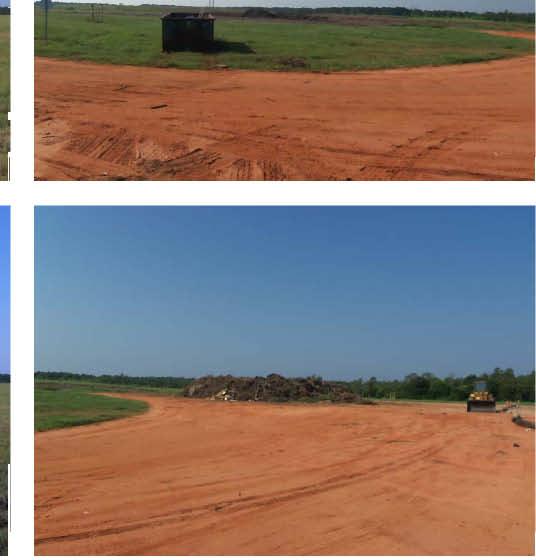
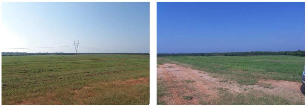
10 Attachment B Site Photographs

11
12
13


14

15


16

17
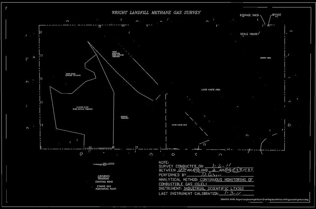
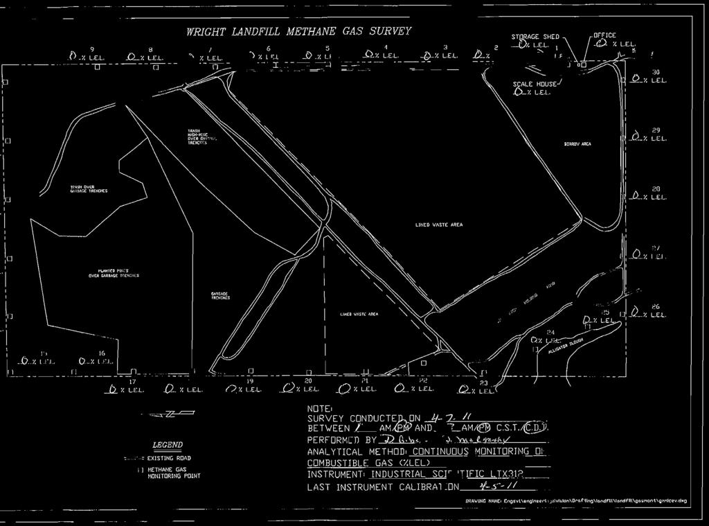
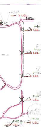
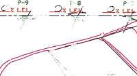
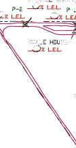
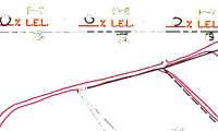
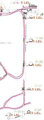
18 Attachment C Historical Landfill Gas Measurements
19
20
21
22
23
24
25
26
27
28
29
30
31
32
33
34
35
36
37
38
39
40
41
42
43
44
45
46
47
48
49

50
51

52
53
54
55
56
57
58
59
60

61
62

63
64
65
66

67

68
69

70
71

72
73
74
75
76
77
78
79
80
81
82
83
84

85
86
87
88
89

90