Little Bear Brook Flood Hazard Assessment and Redevelopment Area Regional Stormwater Management Analysis. Progress Meeting
|
|
|
- Shannon Stone
- 5 years ago
- Views:
Transcription
1 Little Bear Brook Flood Hazard Assessment and Redevelopment Area Regional Stormwater Management Analysis Progress Meeting June 30, 2014 Princeton Hydro, LLC and SWM Consulting, LLC
2 Project Team West Windsor Township M. Patricia Ward, Community Development Director Francis Guzik, PE Township Engineer Township Departments Princeton Hydro, LLC Geoffrey M. Goll, PE Principal Mary Paist-Goldman, PE Project Manager Storm Water Management Consulting, LLC Joseph J. Skupien, PE, PP Principal
3 Project Goals & Scope of Work Goal 1: Little Bear Brook Flood Hazard Assessment Public Meetings and Outreach Compile and Review Existing Data Flood Hazard Assessment Analysis of Flood Mitigation Strategies Action Plan Final Report and Presentation
4 Project Goals & Scope of Work Goal 2: Redevelopment Area Regional Stormwater Management Plan Public Meetings Aerial Topographic Mapping Maps and Overlays Regional Stormwater Analysis Conceptual Basin Locations and Designs Potential Little Bear Brook Flood Relief Final Report and Presentation
5 Little Bear Brook Flood Hazard Assessment Update


6 NJ Transit Washington Road Primary Questionnaire and Structure Survey Area Millstone River Approximate Little Bear Brook 500- Year Floodplain Alexander Road Little Bear Brook Princeton Junction Station NJ Transit


7 Approximate Little Bear Brook 500- Year Floodplain Regional Stormwater Plan Study Area
8 LBB - Completed Project Steps Attended Township Council Meeting Compiled and Reviewed Existing Data Prepared Topographic Maps Prepared and Distributed 82 Little Bear Brook Flood Questionnaire Analyzed 58 Questionnaire Responses Performed and Analyzed 40 Little Bear Brook Structure Elevation Surveys
9 LBB - Completed Project Steps Performed Flood Hazard Assessment Began Analysis of Flood Mitigation Strategies
10 Some Flood Fundamentals
11 Albert Einstein For every complex problem, there exists an answer that is simple, concise, and totally wrong. The most incomprehensible thing about the universe is that it is comprehensible. Stormwater Management for Engineers

12 Watershed or Drainage Area Little Bear Brook at Millstone River Drainage Area = 2.9 Square Miles Drainage Area Limit

13 Watershed or Drainage Area Millstone River at Little Bear Brook Drainage Area = 78 Square Miles Little Bear Brook at Millstone River Drainage Area = 2.9 Square Miles Note: This is a Plan View


14 USGS Peak Discharge Equations
15 Flood Frequency and Probability Flood Frequency Typically Expressed in Years Annual Flood Probability (%) = 100 Flood Frequency (Years) 100-Year Flood Annual Probability = 100 / 100 = 1% 25-Year Flood Annual Probability = 100 / 25 = 4% 10-Year Flood Annual Probability = 100 / 10 = 10%
16 Washington Road Another Plan View NJ Transit Millstone River Alexander Road Little Bear Brook Princeton Junction Station Approximate Little Bear Brook 500- Year Floodplain NJ Transit
17 Cross Section View (Looking Upstream or Downstream) Water Surfaces Ground Surfae
18 Profile View (Looking Sideways) Confluence with Millstone River Water Surface Profiles Bottom of Channel
19 Millstone River FIS Profiles Confluence with Little Bear Brook
20 Confluence Route One Fisher Place
21 Little Bear Brook FIS Profiles Without Millstone River Confluence with Millstone River
22 Little Bear Brook FIS Profiles Confluence with Millstone River
23 Questionnaire Results 58 Responses from 82 Questionnaires Worst Flooding in 2011 from Tropical Storm Irene Second Worst in 1999 from Tropical Storm Floyd Flooding Above First Floor Reported at Six Structures Road and Yard Flooding Reported Most Frequently
24 Flood Hazard Assessment Assessment Results Based Upon: Questionnaire Results Interviews with Township Personnel FEMA Flood Insurance Study NJDEP Floodplain Delineation Computer Model Data and Simulations May 1, 2014 Storm and Flood Event
25 Flood Hazard Assessment Estimated Road Flood Thresholds: Fisher Place 4-Year Flood Washington Road 4-Year Flood Alexander Park 2-Year Flood Alexander Road 5-Year Flood Similar Yard and Parking Lot Flood Thresholds
26 Flood Hazard Assessment Estimated Structure Flood Thresholds: Fisher Place 10-Year Flood Washington Road 5-Year Flood Alexander Park >100-Year Flood Alexander Road 15-Year Flood Comments or Information?
27 May 1, 2014 Flood Event Total Rainfall Approximately 5.3 Inches in 36 Hours Approximately 4 Inches in 24 Hours Approximately 3 Inches in 12 Hours Approximately 5 to 10-Year (20% to 10% Chance) Storm Event
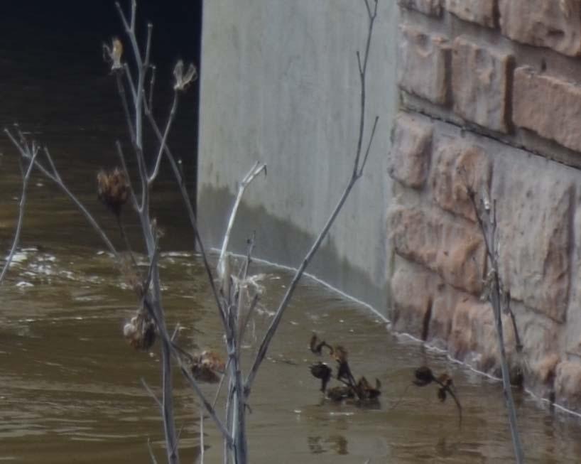
28 May 1, 2014 Flood Event Field Surveyed High Water Elevations: Fisher Place = 58.5 NAVD88 Washington Road = 58.7 NAVD88 Fieldston Road = 58.5 NAVD88 Alexander Road = 58.8 NAVD88 Approximately 10-Year Flood Event

29 Surveyed HW Elevations

30 Surveyed HW Elevations

31 Surveyed HW Elevations

32 Surveyed HW Elevations
33 Little Bear Brook HWMs and Computed WS Profile May 1, 2014 Confluence with Millstone River
34 Little Bear Brook FIS Profiles Confluence with Millstone River
35 Flood Mitigation Strategies What is the Primary Source of the Flooding? Little Bear Brook? Millstone River? Inadequate Bridges and Culverts? Downstream Structures?
36 Watershed or Drainage Area Millstone River at Little Bear Brook Drainage Area = 78 Square Miles Little Bear Brook at Millstone River Drainage Area = 2.9 Square Miles Note: This is a Plan View
37 USGS Watershed Data Characteristic Little Bear Brook Millstone River Drainage Area (SM) Flow Length (Miles) % Forest Cover 8 12 % Urban Land Cover % Wetlands Peak 10-Year Flow Peak 100- Year Flow
38 Millstone River FIS Profiles Confluence with Little Bear Brook
39 Little Bear Brook FIS Profile Confluence with Millstone River
40 Little Bear Brook FIS Profiles Without Millstone River Confluence with Millstone River
41 Little Bear Brook FIS Profiles Without and With Millstone 10-Year with Millstone River 10-Year without Millstone River
42 Little Bear Brook FIS Profiles Without and With Millstone 100-Year with Millstone River 100-Year without Millstone River
43 Why the Millstone River? Much Larger Drainage Area and Flows at Same Ground Elevation Downstream Influences? Carnegie Lake Dam? Delaware & Raritan Canal Culvert? Route One Bridge?

44 Carnegie Lake Dam April 31st

45 Carnegie Lake Dam May 1st

46 D & R Canal Culvert Difference Between Upstream and Downstream HW Elevations = 0.1 Feet

47 D & R Canal Culvert Difference Between Upstream and Downstream HW Elevations = 0.1 Feet

48 D & R Canal Culvert

49 D & R Canal Culvert
50 Millstone River HEC-RAS Computer Model at Route One Based Upon NJDOT HEC-RAS Computer Model of 2009 Replacement Bridge Some Bridge Parameters Modified to Better Match Bridge Type Results Checked with May 1, 2014 High Water Elevations
51 Millstone River HEC-RAS Model 1 Foot Difference for 100-Year Flood 0.4 Feet Difference for 10-Year Flood

52 Millstone River at Route One
53 Potential Mitigation Strategies Investigation to Estimate Strategy s Potential to Reduce Flood Risk Investigation to be Based Upon Existing Available Study Data Objectives of Investigation are to Both Identify Strategies That: Have Potential to Reduce Flood Risk Do Not Have Potential to Reduce Risk
54 Potential Mitigation Strategies Potential Strategies to be Investigated Include: Reduce Millstone Flows via Upstream Storage Lower Downstream Starting WS Elevations Increase Route One Bridge Capacity Levees, Floodwalls, and Road Raisings Enhanced Flood Warning System Wet and Dry Structure Floodproofing
55 Little Bear Brook Summary Flood Assessment Study Based Upon: New Topographic Mapping Property Owner Questionnaires Interviews with Township Officials Structure Elevation Surveys FEMA and NJDEP Waterway and Flood Plain Data and Models Rainfall and High Water Data for May 1, 2014 Rainfall and Flood Event
56 Little Bear Brook Summary Findings to Date Include: Road, Yard, and Parking Lot Flooding Most Chronic (2 to 5-Year+ 5 Frequency) Structure Flooding Occurs During Larger, Less Frequent Events (10 to 25-Year+ Frequency) Millstone River is Primary Flooding Source Little Bear Brook may Worsen Problem During Extreme Events (50 to 100-Year+ Frequency)
57 Little Bear Brook Summary Potential Strategies to be Investigated Include: Reduce Millstone Flows via Upstream Storage Lower Downstream Starting WS Elevations Increase Route One Bridge Capacity Levees, Floodwalls, and Road Raisings Enhanced Flood Warning System Wet and Dry Structure Floodproofing
58 Little Bear Brook Summary Objectives of Investigation are to Both Identify Strategies That: Have Potential to Reduce Flood Risk Do Not Have Potential to Reduce Risk
59 Redevelopment Area Regional Stormwater Management Plan Update
60 Project Goals & Scope of Work Goal 2: Redevelopment Area Regional Stormwater Management Plan Public Meetings Aerial Topographic Mapping Maps and Overlays Regional Stormwater Analysis Conceptual Basin Locations and Designs Potential Little Bear Brook Flood Relief Final Report and Presentation
61 Approximate Little Bear Brook 500- Year Floodplain Regional Stormwater Plan Study Area
62 Redevelopment Area Regional Stormwater Analysis Build-out Analysis Results Conceptual Basin Location Discussion Review of Next Steps to Progress Conceptual Designs
63 Build-out Analysis Analyzed runoff in HydroCAD for existing conditions and full- buildout of the redevelopment area Regional Stormwater BMP ~7 acres, 3 foot depth ~4 acres, 6 foot depth Included environmental constraints T&E Habitat Soils (including depth to SHWT) Geology Wetlands and Transition Areas Floodplain

64 Conceptual Basin Locations

65 Conceptual Basin Locations
66 Review of Next Steps to Progress Conceptual Designs Finalize Conceptual Basin Locations Complete field investigation Prepare preliminary engineering design plans Final report
67 Princeton Hydro, LLC 1108 Old York Road P.O. Box 720 Ringoes, New Jersey princetonhydro.com Storm Water Management Consulting, LLC 1108 Old York Road P.O. Box 727 Ringoes, New Jersey swmconsulting.com