SIGMA project. Overview
|
|
|
- Austen Carr
- 5 years ago
- Views:
Transcription


1 SIGMA project Overview


2 Background

3 SIGMA - Facts Start 1 November March 2017 Agriculture AND Environment 22 partners, 17 countries VITO, CIRAD, JRC, IIASA, Alterra, RADI, NMSC, DEIMOS, GeoSAS, RCMRD, Aghrymet, RCMRD, Sarvision, Sarmap, INTA, Geoville, UCL, EFTAS, FAO, ITC, GISAT, IKI, SRI Argentina, Ukraine, China, Russia, Africa, USA, Brazil, Vietnam, Belgium, 9 M EUR GEO! (& GEOGLAM)

4 Challenge % increase in agricultural productivity? Sustainable intensification of agriculture: Agricultural Expansion Agricultural Intensification 4


5 Short term perspectives of agricultural Productivity Longer term perspectives of agricultural Productivity SIGMA Concept Existing monitoring systems Monitoring Agricultural production SIGMA Impact Assessment of Crop land Dynamics on the Environment Satellite, ancillary, farmer declarations and Meteo data Crop land Change Shifts in Agricultural systems Agro-met models & statistics Crop Mask Anomaly detection Impact assessment on other land uses, natural resources and future scenarios Current Yield, Area, Production estimates & forecasts Cross-season Assessment of Crop land expansion and intensification
6 Activities Land cover & crop land assessment (UCL) Agricultural Productivity (Alterra) Env. Impact Assessment of Land use change (IIASA) Sites: IKI RAN, SRI, RADI, CIRAD, INTA, VITO, UCL, GEOSAS, AGHRYMET 6


7 Global? Global Evaluation Learning Evaluation Learning Regional Verification & evaluation Learning Local 7
 Regional, Global.")
8 Dataset Coordination With JECAM Coordination office & GEO Sec Baseline data sets Sites o Field data o Satellite data (SAR, Landsat, Sentinel, DEIMOS, DMC, VHR,..) Regional, Global. Time series of: o FY-3 o PROBA-V o MODIS / VIIRS o Sentinel-3 o Metop o 8

9 Variety of data sources FY-3, DEIMOS-1, PROBA-V, Operationally available since November 2013 To come: Sentinel Very High Resolution CEOS through GEOGLAM

10 JECAM sites 31/10/
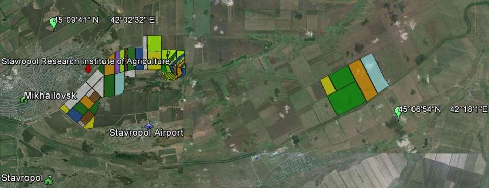


11 Sites Madagascar China Russia Brazil Argentina Ukraine Tanzania Belgium - France 11
12 Field data collection A priori information: maps, statistics, crop calendars Topography, soil (texture, type, rooting depth), climatic data (rainfall, radiation, temperature), yields (5years) Survey: GPS coordinates o Points: Road, stratified grid o Field boundaries Landcover information: o Land cover; o Crops: crop type o Crops: ancillary» rainfed, irrigated, partially irrigated» Main cropping practise (tillage management, rotatoin, multi-cropping, use of chemicals / fertilizers, mechanization, sowing/flowering/harvesting dates, livestock) 12


13 Data management GEOSS standards SIGMA Product Inputs & Outputs Product Distribution Facility (PDF) Product Analysis Facility (PAF) Product Evaluation Facility (PEF) SIGMA Data management Components Agro-environmental Monitoring Community 13

14 Land cover & crop land assessment Challenge: Diversity of systems Variable field sizes, scale Landscape fragmentation Approach Agro-env stratification Reference data Method benchmarking Site, Regional, global, hotspots Agricultural statistics Reference data compilation Stratification Global RS data pre-processing MR-HR-SAR Method benchmarking and development Global cropland mapping Trend analysis Land cover change in hot spot areas Crop land projections 14
15 Agricultural Productivity Challenge: Agricultural systems dynamics & management practises Approach Trend analysis of environmental parameters o Multiple data sets & Compatibility o Soil Moisture, evapotranspiration o High resolution + Low resolution o Change detection Agricultural systems analysis o Characterization» Cropping system, species, rotation Analyze Yield gaps using crop models & EO 15

16 Agricultural Productivity Challenge: Agricultural systems dynamics & management practises Approach Trend analysis of environmental parameters o Multiple data sets & Compatibility o Soil Moisture, evapotranspiration o High resolution + Low resolution o Change detection Agricultural systems analysis o Characterization» Cropping system, species, rotation Analyze Yield gaps using crop models & EO 16
17 Env. Impact Assessment of Land use Change Challenge Methodology Approach: Local o Impact analysis of land use and management changes o Identify stress factors of yield gap analysis Projections o Projections of cropland and major systems for 2030, 2050 o Assess impacts on agricultural productivity Global o Impact of crop land changes on other land cover types, water use and nutrient balances 17

18 Capacity building Capacity needs assessment Agricultural Statistics Global/national Agricultural land use and crop yield assessments Design curriculum Modules Training and E-learning materials 4 international workshops / seminars 18
19 Expected output Scientific Products Global agro-environmental stratification Database Multi-resolution annual cropland maps Country Land cover analysis database for selected areas Time series of satellite derived parameters Hotspot maps identifying zones with high variability and agro-environmental changes and description Maps of potential/actual yield and gaps Training materials SIGMA Data Management Portal 19


20 Thank you! VITO, CIRAD, JRC, IIASA, Alterra, RADI, NMSC, DEIMOS, GeoSAS, RCMRD, Aghrymet, RCMRD, Sarvision, Sarmap, INTA, Geoville, UCL, EFTAS, FAO, ITC, GISAT, IKI, SRI