Using Earth Observations for Integrated Water Resources Management
|
|
|
- Lionel Wilkerson
- 5 years ago
- Views:
Transcription

1 Using Earth Observations for Integrated Water Resources Management Sustainability in the Water-Energy-Food Nexus Bonn, May 2014 Douglas Cripe GEO Secretariat Richard Lawford Morgan State University Toshio Koike University of Tokyo

2 Space-based Assets Source GEO Secretariat

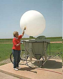

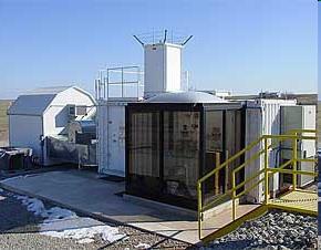
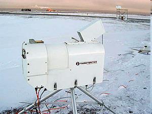
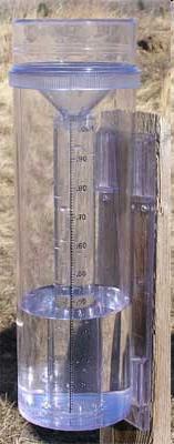
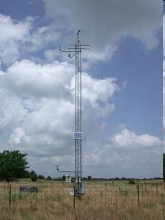


3 In-situ Systems

4 GEO: the Group on Earth Observations An Intergovernmental group with 90 Members and 77 Participating Organizations U.S. Department of State, Washington DC July 31, 2003
5 What is GEO? launched in response to calls for action by the 2002 World Summit on Sustainable Development, Earth Observation Summits, and by the G8 (Group of Eight) leading industrialized countries voluntary partnership of governments and international organizations 89 member governments + EC 77 Participating Organizations (PO) provides a framework within which these partners can develop new projects and coordinate their strategies and investments charged with developing GEOSS
6 What is GEOSS? Global Earth Observation System of Systems an integrating public infrastructure, interconnecting a diverse, growing array of Earth observing instruments and information systems for monitoring and forecasting changes in the global environment supports policymakers, resource managers, science researchers and other experts to support informed decision making for society 10-year implementation plan By 2015: Global, Coordinated, Comprehensive and Sustained System of Observing Systems
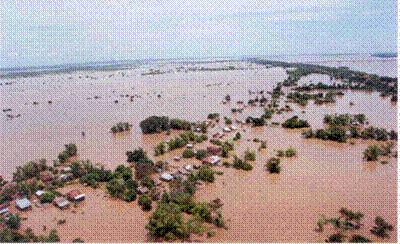
7 GEOSS Targeted Gaps 1. Lack of access to data and associated benefits in developing world 2. Eroding technical infrastructure 3. Large spatial and temporal gaps in specific data sets 4. Inadequate data integration and interoperability 5. Uncertainty over continuity of observations 6. Inadequate user involvement 7. Lack of relevant processing systems to transform data into useful information

8 GEOSS Implementation requires: Data Sharing Principles Full and Open Exchange of Data Recognizing Relevant International Instruments and National Policies and Legislation Data and Products at Minimum Time delay and Minimum Cost Free of Charge or Cost of Reproduction for Research and Education


9 Water Before 2015, GEO aims to: Produce comprehensive sets of data and information products to support decision-making for efficient management of the world's water resources, based on coordinated, sustained observations of the water cycle on multiple scales.
 Components: C1: Integrated Water-cycle Products and Services C2: Information Systems for Hydro-meteorological Extremes (incl.")
10 WA-01 Integrated Water Information (incl. Floods and Droughts) Components: C1: Integrated Water-cycle Products and Services C2: Information Systems for Hydro-meteorological Extremes (incl. Floods and Droughts) C3: Information Service for Cold Regions C4: Global Water-Quality Products and Services C5: Information System Development and Capacity Building
 GEOSS")
 - Extremes -")

11 Information System Development and Capacity Building (CIEHLYC, AWCI, AfWCCI, TIGER, IEEE Pilots) GEOSS Common Issues: Water -Climate change and water resources Cycle(floods and droughts) - Extremes - Demonstration Integrator of value of GEO principals - Land use change and impacts on water resources (WCI) AfWCCI AWCI
12 Promotion of Integration and Interoperability Observation Integration Sustained Education Framework Management System Integration Model Integration Water Cycle Integrator Data Integration & Analysis Cross-SBA/CoP Coordination Disaster/Health/Energy/Climate/Weather/Agriculture/Forest/Ecosystem/Biodiversity
13 Water Cycle Integrator Models Weather Prediction Seasonal Prediction Climate Prediction Evaluation & Bias Correction Satellite Ground Elevation River Flow Vis. IR Urban Environment Conservation Urban Water Model IWRM Material Cycle Modell Water Cycle Model Evapotranspiration MW Soil Moisture Agriculture Support Climate Change Adaptation Gravity Ground Water River Basin Management Val. Rainfall River Flow Soil Moisture In-situ Data Ground Water Crop Model Channel Analysis Index Organism Water Quality Sewage Loading Unit Agricultural Info. Famer s Needs Sedimentation Channel Form Biodiversity Data In-situ Data

 To")


14 1st Asian Water Cycle Symposium, Tokyo, Nov st Task Team Meeting, Bangkok, Sep st Capacity Building Workshop, Sep nd GEOSS Asian Water Cycle Initiative (AWCI) To promote integrated water resources management by making usable information from GEOSS, for addressing the common water-related problems in the Asia-Pacific region. Uniqueness Asian Water Cycle Symposium, Tokyo, Jan A River Basin of Each Country Observation Convergence 1st GEOSS AP Symposium, Tokyo, Jan Interoperability Arrangement Data Integration 1st International Coordination Group Meeting, Bali, Sep Open Data & Source Policies Capacity Building 3rd Asian Water Cycle Symposium, Beppu, Dec Early Achievements


15 Ecosystem Degradation Access to Water GEOSS African Water Cycle Coordination Initiative Drought Health Drought Trans-boundary Rivers Climate Change Flood Flood
16 GEOSS African Water Cycle Symposium Key messages regarding challenges facing Africa in the water sector: lack of access to data and data sharing lack of infrastructure for collecting and analyzing data lack of funding and resources need for capacity building, enhancement of capabilities, and retention of expertise political buy-in and role of national government is critical to the success of any initiative
17


 3.")
18 Priorities for GEO post : Address urgent global challenges 2: Support for Sustainable Development (Earth observations for progress towards SDGs) 3. Build on Accomplishments of GEO monitoring


19 Rio + 20: The future we want 274. We recognize the importance of space-technology-based data, in situ monitoring and reliable geospatial information for sustainable development policymaking, programming and project operations. In this context, we note the relevance of global mapping, and recognize the efforts in developing global environmental observing systems, including [ ] through the Global Earth Observation System of Systems. We recognize the need to support developing countries in their efforts to collect environmental data.

")
 Supply Prices Demand Politicies Finance")
20 2011: The G20 Agriculture Priority GEOGLAM & AMIS Two initiatives to increase information availability, quality and transparency : GEOGLAM : improve information on supply (GEO) GEO-GLAM AMIS : improve information on markets (FAO) Supply Prices Demand Politicies Finance Stocks Trade AMIS


 led by")

21 W-E-F Nexus: Bioenergy Global: Contribution to the Global Renewable Energy Atlas of IRENA Bioenergy segment Regional: Development of the Bioenergy Atlas for Africa (BAfA) led by South Africa National: Optimization of bioenergy plants sitting in Pakistan


22 Water-Energy-Food Nexus recognized as a primary theme of the recently completed GEOSS Water Strategy Report

23 GEO and Future Earth Future Earth Objective: build the knowledge required for societies to face risks Through: enabling integrated research on grand challenges and transformations to sustainability strengthening global partnerships between researchers, funders and partners of research communicating science to society and vice versa GEO can provide political support and supply EOs needed to meet these goals

24 G we will accelerate efforts within the Global Earth Observation System of Systems (GEOSS),... in priority areas, inter alia, climate change and water resources management, by strengthening observation, prediction and data sharing.... capacity building for developing countries interoperability and linkage

25 Thank you!
26 Extras


27 Energy task dedicated to International Energy Targets Contributes to the UN Secretary General s Sustainability Energy for All (SE4All) Initiative and the SDGs 1. double the share of renewable energy in the global energy mix, 2. ensure universal access to modern energy services, and 3. double the global rate of improvement in energy efficiency in buildings, industry, agriculture, and transportation sectors


28 W-E-F Nexus: Other than Bioenergy Hydropower: Contribution to the Global Renewable Energy Atlas of IRENA Hydropower segment Fossil Fuels: Development of several tools and indicators for the impacts of coalmining activities on water quality and land use Sustainability Impact assessment: Development of Life Cycle integrated tools for decision making
29 GEO Global Agricultural Monitoring Task Goals 1. Global monitoring of agricultural production, facilitating reduction of risk and increased productivity at a range of scales 2. Timely & accurate national (sub-nat.) agricultural statistical reporting 3. Accurate forecasting of shortfalls in Crop production & Food supply 4. Effective Early warning of famine, enabling a timely mobilization of an international response in food aid 5. Global mapping, monitoring and modeling of changes in agricultural land use, type and distribution, in the context of socio-economic and climate change Source: C. Justice


30 Example of Crop Crisis Situation: 2012 Northern Hemisphere Crop NDVI Anomalies - August 13th 2012 Canada Russia Ukraine Kazakhstan USA China India Non Cropland Not shown Spring Wheat Spring Wheat Average normal year Spring Wheat anomaly Corn/ Soy anomaly Winter Wheat/ Corn anomaly anomaly on-going year C u r a n o m a l y 30


 Crop type")

31 GEOGLAM Capacity Building Component Ex : Pakistan Agricultural Information System (Collaboration among CRS, FAO, SUPARCO, UMD & USDA) Crop type classification Crop condition EO Estimated vs Reported Wheat Production Yield Forecasting 31
32 Countries at risk Subsistence agriculture & Pastoralism basis of livelihood systems in many countries highly climate-sensitive Climate station networks not well working (sparse, bad or late reporting) Satellite remote sensing & Models can fill the gap and provide the basis for early detection of agricultural droughts On all continents: Africa : Senegal, Mauritania, Mali, Burkina, Niger, Chad, Somalia, Sudan, Eritrea, Ethiopia, Djibouti, Somalia, Kenya, Uganda, Rwanda, Tanzania, Zambia, Mozambique, Zimbabwe, Botswana, South Africa, Lesotho, Swaziland Central America: Guatemala, Honduras, El Salvador, Nicaragua Caribbean: Haiti Central Asia: Afghanistan 32


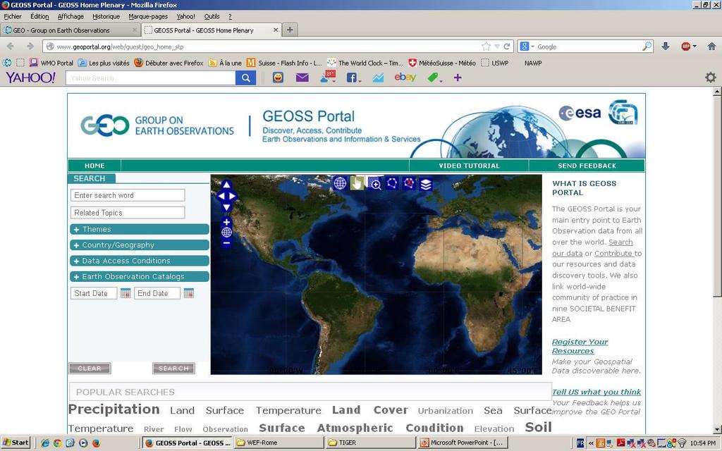
33 Current Assets About 20 brokered data providers capacities, systems, Communities... Publish More than 7 Million (1.2 Million GEOSS Data Core) potentially Discoverable and Accessible resources (mix of data collections, datasets and individual images) Contain [source: data providers] More than 65 Million (50 Million GEOSS Data Core) potentially Discoverable and Accessible resources (e.g. satellite scene, raingauge record)......