ArcGIS for State and Local Government
|
|
|
- Chester May
- 5 years ago
- Views:
Transcription


1 Federal GIS Conference 2014 February 10 11, 2014 Washington DC ArcGIS for State and Local Government Nikki Golding


2 ArcGIS A Platform for Geographic Information Desktop Web Device ArcGIS Solutions Local Government State Government Utilities Defense Transportation Telecommunications Public Safety Server Online Content and Services Available in the Cloud and On-Premises
3 ArcGIS for State and Local Government A solution for Esri s government customers Series of useful maps and apps focused on government work Organized into modules Editing Workflows Focused Maps and Apps Analytical Models Extensible, configurable Freely available and fully supported A foundation for Partner solutions Community of users Best Practices / Implementation Support Network of Esri Services and Partner offerings Help users implement, sustain and enhance Information Model..Available on-premise or in the cloud


4

")

5 A common experience. In each event Emergency Management Agencies Leverage critical operational data (streets, parcels, staging areas, critical infrastructure) Produce hard copy map products standard and ad hoc (same during every event) Maintain a Common Operational Picture or Viewer to assess real time events and activities Quickly Deploy Mobile Damage Assessment tools Share information with Citizens (discoverable, easy to understand and use, relevant)


6 Common Challenges Budget Doing More with Less Technical Breadth Support for Existing Systems Domain Expertise


7 Common Goals healthy communities quality education robust public services diverse cultural opportunities safe communities sustainable environment smart growth thriving economy


8 Supporting Custom Applications


9 Responding to Evolving Expectations
10 Common Experience
11 Common Experience
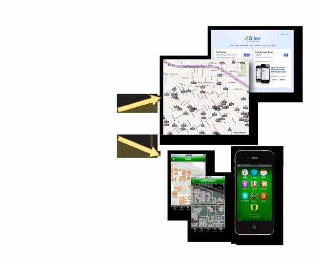

12 New Expectations
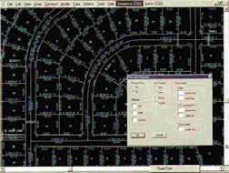
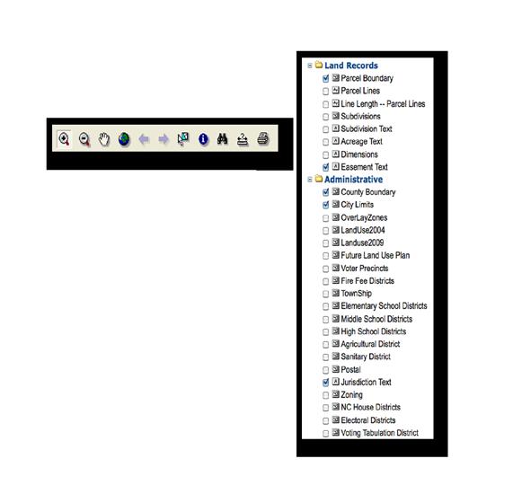
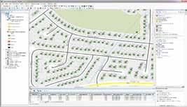
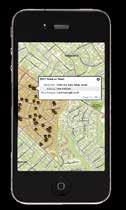
13 ArcGIS for Local Government Planning Park and Recreation Finder Land Use Public Comment Land Use Public Notification Community Planning Code Violation Public Works Public Information Center Campus Editing Campus Place Finder Citizen Service Request SnowCOP My Government Services Water Utility Network Editing Water Utility Capital Planning Water Utility Mobile Map Land Records Tax Parcel Editing Deed Drafter Tax Parcel Map Book Address Data Management Parcel Value for iphone Tax Parcel Viewer Value Dashboard Community Addressing Data Reviewer for Parcels Data Reviewer for Addresses Public Safety Flood Planning Special Event Planning Fire Station Wall Map Fire Run Book Pre-Incident Planning Target Hazard Analysis Fire Hydrant Inspection Cell Phone Analysis Public Safety COP Damage Assessment My Hazard Information EM Maps Elections Election Results Election Polling Places Local Government Information Model Basemaps Data Reviewer for Basemaps Executive Dashboard Maps and Apps Gallery Model Organization
14 ArcGIS for State Government DOT Traveler Information System (511)* Railroad Crossing Inspection* Right of Way Management* Crash Analysis Tools* NEPA (Environmental Review)* Environment Permit Processing Dashboard Permit Expiration Dashboard Permit Status Permit Inspection License Location Locator Water Access Locator Wildlife Management Area Locator Environmental Impact Assessment* Storm water Notice of Intent* Trail Locator Model Organization Public Health Beach Monitoring Water Quality Monitoring* Restaurant Inspection* Assisted Living Facility Inspection* Medicare/Medicaid Super Utilization* Healthcare Utilization Atlas* Emergency Management Flood Planning Special Event Planning Pre-Incident Planning Target Hazard Analysis Common Operational Picture Damage Assessment My Hazard Information EM Maps Model Organization GIS/IT Economic Development Live, Work, and Locate* Site Finder* Model Organization Executive Dashboard Data Aggregation Patterns*
15 The Result Increased value from your GIS platform Made it easier to deploy a geospatial platform Addressed many common constraints in government Better collaboration between Esri and the user community


16 Relevant, Easy to Use

17 Making Your Work Discoverable

18 Take a Look?
19 Our Mission Help increase the value of GIS in local government organizations Make it easier to deploy ArcGIS Deliver applications quickly throughout your organization Stay current with future releases / avoid legacy technology Create a platform of geospatial data that can be leveraged by many Address common constraints in state and government Size and skills of staff Budget and time available to implement Technical breadth and support of existing systems Domain expertise Empower the community to contribute Users Partners
20 Configuration Patterns Influential factors COTS and configurable solutions strategy Deployment time Technical expertise Three configuration patterns Complete system adoption Publish and adopt Sample code and customize Where do you start? With your business requirements Align them with maps and apps Review system configuration patterns

21 ArcGIS for Local Government: The Community


22 State Government Community An online community where Local Government users and partners can collaborate

23 Local Government Community An online community where Local Government users and partners can collaborate
24 What s Next Continuously Evolving Solution Offering
25 It s a Process Continuously Evolving Solution Offering New maps and apps Transportation, Fish and Wildlife, Fire Service, Law Enforcement, Public Works, Economic Development, Public Health, etc. Ongoing application updates Support for cloud services, smartphone support, new features, bug fixes, etc. Continued Community Engagement Meetups, videos, more help, expanded partner & professional services offerings, etc.
26 Thank You
27 Federal GIS Conference 2014 February 10 11, 2014 Washington DC Don t forget to complete a session evaluation form!
28 Federal GIS Conference 2014 February 10 11, 2014 Washington DC Networking Reception Smithsonian National Museum of Natural History Tuesday, 6:30 PM 9:30 PM Bus Pickup located on L Street
29 Federal GIS Conference 2014 February 10 11, 2014 Washington DC Print your customized Certificate of Attendance! Printing stations located in Hall B and the 140/150 Room Concourse.
30 Federal GIS Conference 2014 February 10 11, 2014 Washington DC GIS Solutions EXPO, Hall B Monday, 12:30 PM 6:30 PM Tuesday, 10:45 AM 4:00 PM Exhibitors Hands-On Learning Lab Technical & Extended Support Demo Theater Esri Showcase
31 Federal GIS Conference 2014 February 10 11, 2014 Washington DC Interested in diving deeper into Esri technology? Add a day to your Fed GIS experience and register to attend the Esri DevSummit Washington DC. Stop by the registration counter to sign up.