Ocean Spray. Proposed Functions and Values of Mitigation: Wildlife habitat (see specifics below)
|
|
|
- Mariah Greer
- 5 years ago
- Views:
Transcription
1 Ocean Spray File No.: City and State: Middleboro, MA General Impacts: 0.35 acre non-tidal scrub-shrub Functions and Values Lost: Wildlife habitat Year(s) Mitigation Constructed: October 1988 Size and Type of Mitigation as Proposed: 0.37 acre Proposed Functions and Values of Mitigation: Wildlife habitat (see specifics below) Mitigation Special Condition(s) (per 1/23/91 memo as permit could not be located): 4. Approximately 16,250 s.f. of wetlands shall be created to compensate for the loss of 15,105 s.f. of wildlife habitat due to parking lot construction. Replacement wetlands shall be designed to replace lost wildlife habitat of the isolated depressions. The wildlife habitat that is established should support typical wildlife species of shrub wetland and open water areas in Massachusetts including marbled and Jefferson salamanders, wood frogs, northern spring peepers, wood and black ducks, yellow rumped warblers, tree swallows, winter wrens, and yellow throats, mike, and raccoons. 5. The wetlands replacement area shall contain 1 to 2 feet of standing water surrounded by a band of wetland shrubs to approximate those conditions lost by the parking lot fills. 6. Construction of the 16,250 s.f. replacement wetland area shall take pace in one phase as follows: a. The replacement area shall be excavated to a depth of 6 to 12 below the final grade, to the elevation of adjacent wetland U-4 to simulate the same groundwater conditions. b. Stockpiled soils from the lost wetland areas and supplemental plants of indigenous wetland species shall be utilized to revegetate the replacement wetland. c. Plantings shall occur from April 1 to September 30 and will consist of placement woody shrubs such as Highbush Blueberry, Black Alder, Swamp Azalea, and Sweet Pepperbush approximately 6 apart in a band around the upper edge of the basin. d. A temporary stabilization program for exposed areas shall be implemented which shall include broadcast seeding or hydromulching and placing staked hay bales between the perimeter of work areas and the existing wetland.
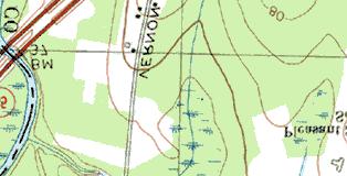
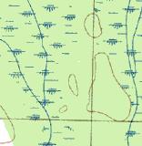
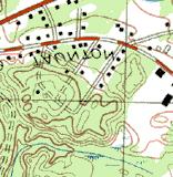
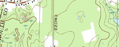
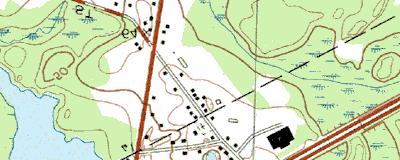
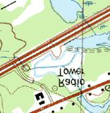
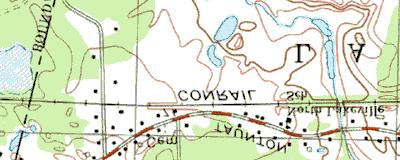
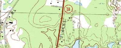
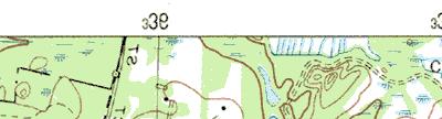
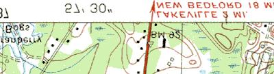
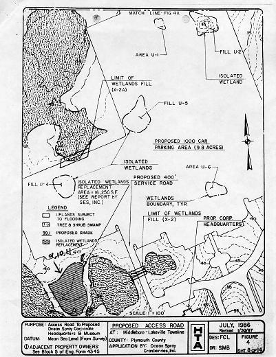
2 7. The replacement wetland shall be located south of impacted wetland U-4 and will be hydrologically fed by its proximity to groundwater. 8. The activities described above will be carried out by the permittee or his representative. The permittee will be responsible for maintenance and management of the area. After implementation, all sites shall be monitored annually during the first three growing seasons by the permittee. Monitoring shall include observation of the extent of standing water in the area, the amount and type of plant growth in each vegetation zone, and observable changes in the amount and type of wildlife. At the end of each growing season the replacement wetland will be photographed to provide a visual record of changes in vegetation, and the permittee will walk a transect through the site to record water levels, plant species, and vegetative density, until planted materials are successfully established. A progress report will be forwarded to the Corps of Engineers annually for three growing seasons. It is expected that the replacement wetland will be fully revegetated and stable in approximately three years. Mitigation Plan: Figure 4 dated July 1986, revised 1/30/97 shows isolated wetland replacement. Figure 10A dated 1/30/97 entitled, Proposed wetland/bog replacement. Remarks: File is not complete; unable to find full information on microfilm. Directions: Take I-95/128 south to I-93 north to Route 24 south. Stay on Route 24 for approximately 19 miles to Route I-495 south. Take exit 5, Route 18 in Lakeville. Go down the hill and Ocean Spray will be on right. (Note: when see exit 6, Route 44, make sure are in the right hand lane because exit 5 comes very quickly.) Drive into the parking lot past headquarters and the visitor parking that is on the right. Turn right after the visitor parking, pass the pond on right, and then turn left. Park in the corner ahead and on the left. The site is near that corner and visible through the trees.
3 Street Atlas USA DeLorme. Street Atlas USA MN (15.6 W) TN Scale 1 : 21, ft m 1" = 1780 ft

 1997,")


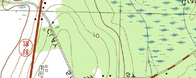


4 Ocean Spray Copyright (C) 1997, Maptech, Inc.
5 MITIGATION SITE FIELD DATA FORM Site Name: Ocean Spray File No City/Town: Lakeville/Middleboro State: MA Waterbody: N/A Monitor(s): Keith Wright, Ruth Ladd, Kathleen McKee Date: Was site constructed? yes Is site wetland? yes Size of proposed wetland: 0.37 acre (16,250 sf) Actual size of wetland: approximately 10,000 sf (based on pacing) Landscape position: approx. 2 miles east of the Taunton River adjacent to forested wetland Lat/Long Points: N W Saved GPS Waypoint name: OCS GPS Tracking Log Name: N/A Perimeter: TBD Surrounding land use: Forest on 3 sides, mowed grass leading to parking lot and office park on one side. Is wetland function compromised by surrounding land use? No Plant health: Healthy Invasive species: None Plants: Acer rubrum Betula populifolia Carex sp. Cephalanthus occidentalis Clethra alnifolia Comptonia peregrina Cornus ammomum Dulichium arundinaceum Gaylussacia sp. Juncus effusus Lysimachia quadrifolia Lysimachia terrestris Nuphar lutea Osmunda cinnamomea Pinus strobus Polytrichum sp. Rubus hispidus Rubus sp. Salix discolor Salix sp. Scirpus cyperinus Sphagnum sp. Spiraea tomentosa Vaccinium corymbosum Vaccinium macrocarpon Viburnum dentatum Wildlife use: None observed Page 1 of 2
6 Soils data: Pit located in northwest portion of the site. DEPTH HORIZON MATRI REDO COMMENTS O A 10YR2/1 starts near ribbons out to 1 surface medium sandy clay loam 5-10% 2.5YR3/ Bw 2.5Y5/4 10YR4/6 mostly sand and loamy fine sand very abrupt change from A 12 >27 C 2.5Y6/3 fine sand; saturated (water table at 28 ) Sketch approximate mitigation site, noting areas and types of wetlands, waters, other features, landscape position, landmarks, etc., and data and photo point(s) See field notes. Overall Description of site: Site is very mossy (Sphagnum spp. and haircap moss). A mowed grass lane leads to site from parking lot. A pile of grass clippings sits on the border of the lane and the site. The northern 2/3 of the site is seasonally saturated to surface while the southern 1/3 is inundated for an extended period during the growing season with several inches as evidenced by Sphagnum spp., hummocks, and marks left behind by water. There is an upland island in the center near the western limit of the site. Comments, problems, recommendations: Site was supposed to be a scrub-shrub wetland. The northern part of the site is gradually moving toward that designation but the majority of the site is a shallow marsh or wet meadow. Water table was 28 below surface on north side and 18 on south side at the time of the site visit. There are probably vernal pools in the forest down slope and to the east. We saw many water-stained leaves in the adjacent wetland that probably would be under 18 of water in the spring, based on the position and size of woody plant hummocks. A 24 deep monitoring well was installed 20 in front of the pile of grass clippings. The lower 14 of the well was slotted. The top of the well is about five inches above the ground. Page 2 of 2
7
8 Ocean Spray ac yes no? no forested upland and wetland; lawn 50 N Wright W /10/02 PEM yes no 0 Distinct boundary recharge due to sands Dense vegetation. Currently no known sources. Dense vegetation. Currently no known source. Food for wildlife. Food sources; next to large forested area. Private property Private property None known


9 Ocean Spray Cranberry Middleboro, MA 7/10/02 View looking southeasterly from near the northwest corner of the site. The upland island is on the right. Looking easterly towards the middle of the eastern side of the site.


10 Close-up of area at southern end of the site with evidence of ponding. Close-up of Sphagnum sp. mat with Nuphar luteum (yellow pond lily) in the area which is inundated for a portion of the growing season.


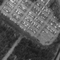
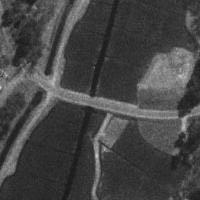
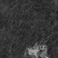
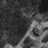


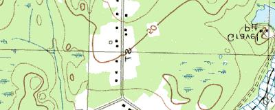
11 4 km W of Middleboro, Massachusetts, United States 03 Apr 1995 Image courtesy of the U.S. Geological Survey 2003 Microsoft Corporation. All rights reserved.