PA of NY&NJ - TETERBORO AIRPORT RUNWAY 6-24 Engineered Material Arresting System (EMAS) UNSTEADY-STATE FLOODPLAIN ANALYSIS
|
|
|
- Lauren Williamson
- 5 years ago
- Views:
Transcription


1 1 NEW JERSEY ASSOCIATION FOR FLOODPLAIN MANAGEMENT PRESENTATION FOR THE 10 TH ANNUAL CONFERENCE PA of NY&NJ - TETERBORO AIRPORT RUNWAY 6-24 Engineered Material Arresting System (EMAS) UNSTEADY-STATE FLOODPLAIN ANALYSIS October 15, 2014 JACOBS Engineering Group Jeepsi Patel, P.E., CFM
2 2 Presentation Overview Introduction Existing Conditions Proposed Conditions Hydrology Hydraulics Results


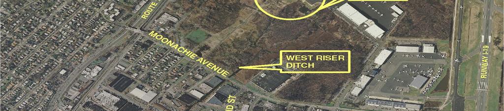
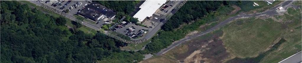
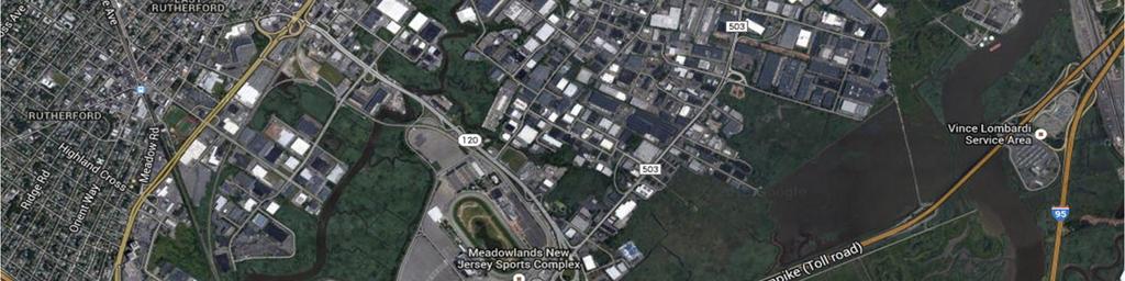
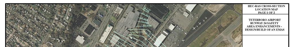
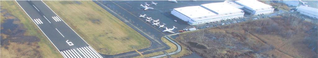
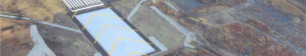
3 Site Map - Teterboro Airport 3


4 4 Project Need and Team Install an Engineered Material Arresting System (EMAS)

.")
5 5 EMAS System installed at the end of runways to safely stop aircraft that overrun a runway Typically installed at the end of runways that are in close proximity with natural (i.e. bodies of water) or man made boundaries (i.e. roadways, buildings, railroad tracks).

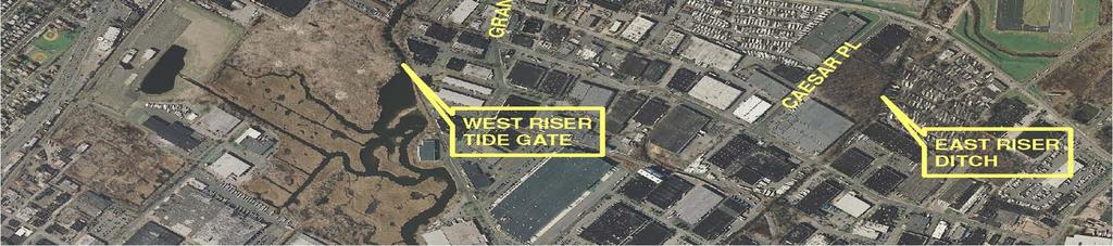
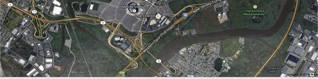
6 6 Project Location Map
7 7 Objectives Meet New Jersey Flood Hazard Area Regulations while maintaining Airport Safety Requirements Identify tidal versus fluvial limits onsite Ensure offsite property owners are not adversely impacted due to the project

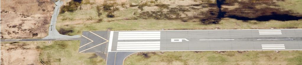
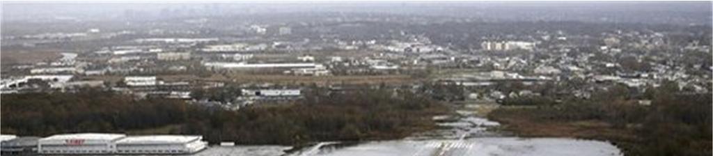
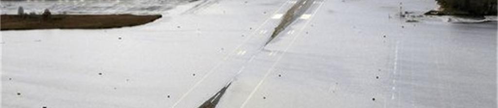
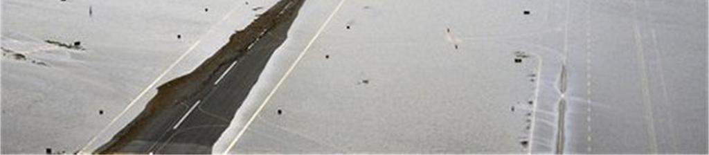
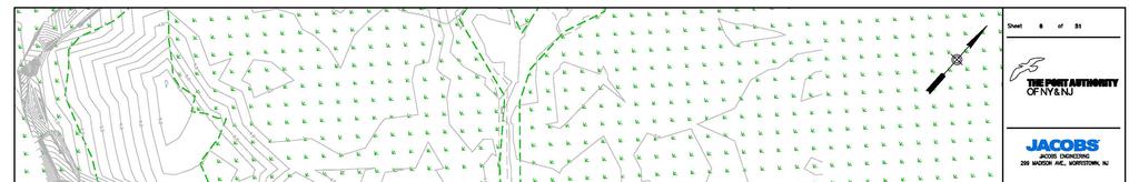
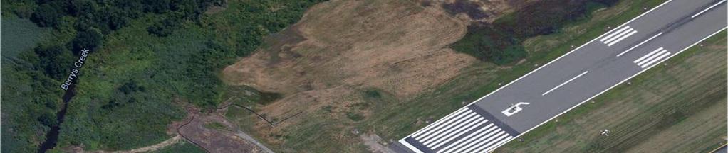
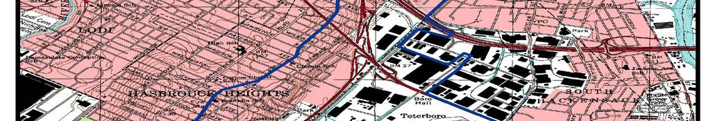
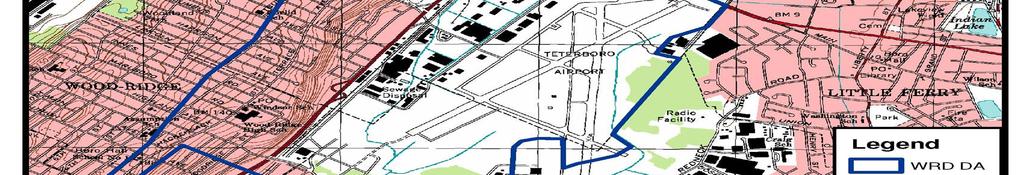
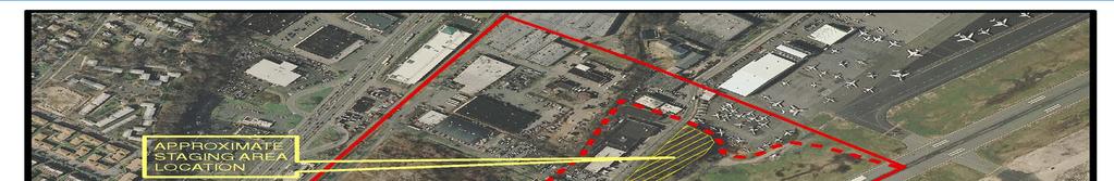
8 Project Location Existing Conditions 8
9 9

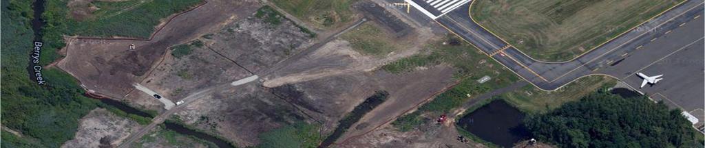
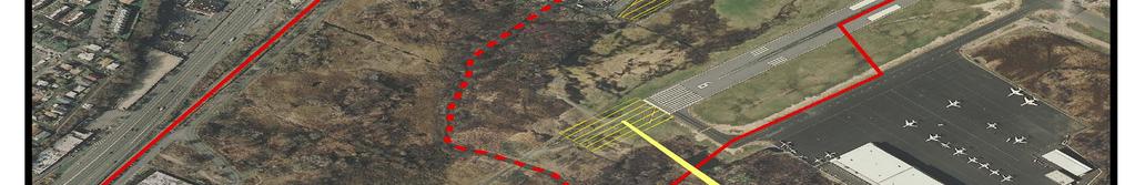
10 Project Location Existing Conditions 10

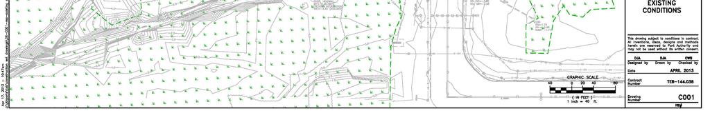
11 11
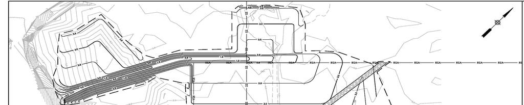
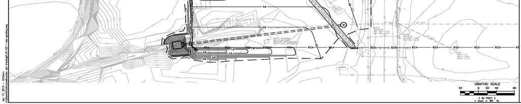
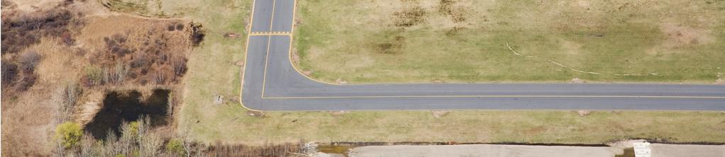
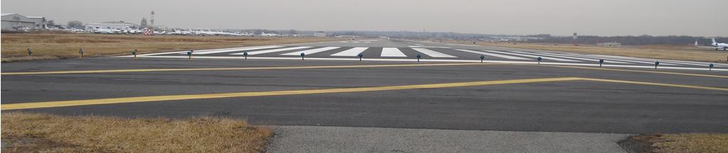
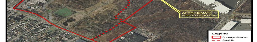
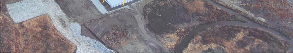
12 Proposed Conditions 12
13 13
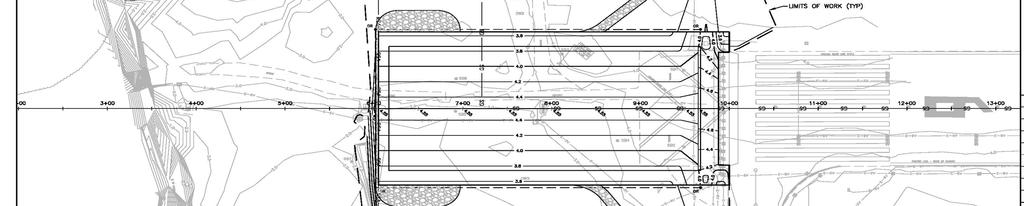
14 EMAS Profile 14
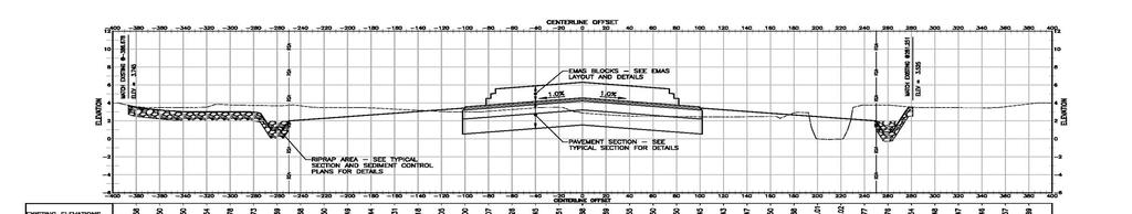
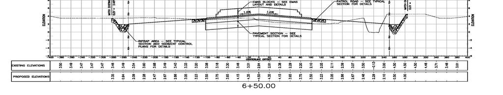
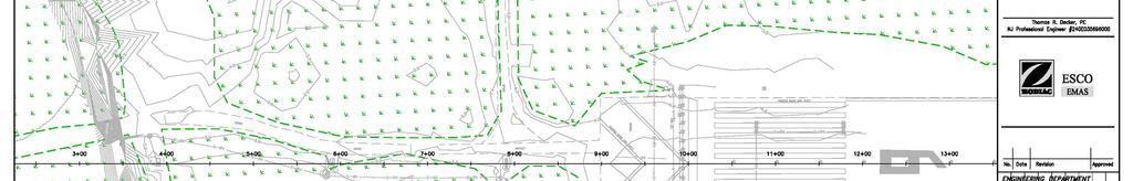
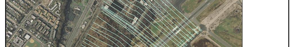
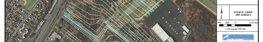
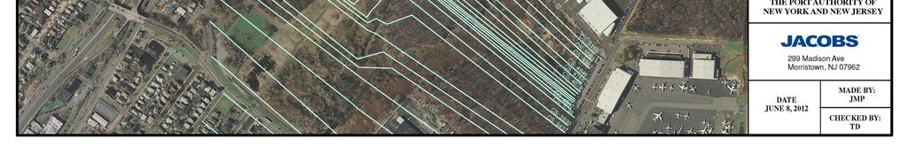
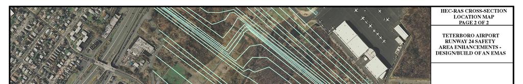
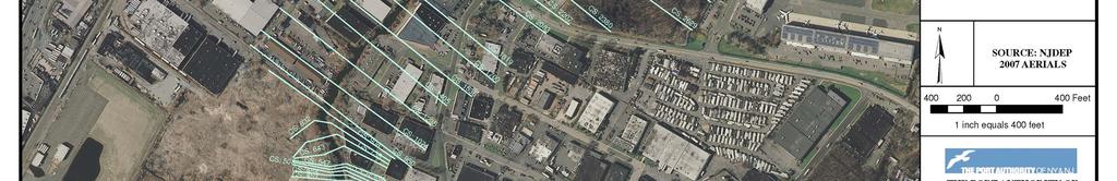
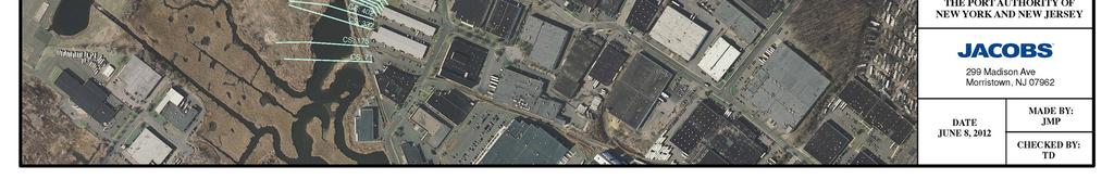
15 Cross-Sections 15

16 16


17 17 FEMA 100-yr. EL: 3.95 ft. In current FIRM FEMA 100 yr. EL: 6.95 ft. In current FIRM 17
18 18 Hydrology Model based on NJDEP approved HEC-1 model for a Stream Encroachment Permit of the Vincent Place Stormwater Pumping Station and Housing Unit This model subsequently revised for an EMAS at the other end of Runway 24 in August 2006.


19 19
20 20
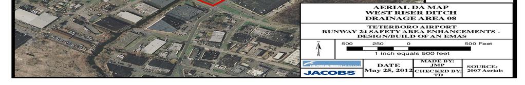
21 21 Hydrology Total Drainage Area is approximately 1400 acres Existing pump station located near Vincent Place. Maximum pump capacity of 112 cfs Since an unsteady HEC-RAS model is utilized to account for WRD storage, all storage routings excluded Results without storage Moonachie Ave West Riser Tide Gate Design Storm Existing Peak Flows (cfs) Proposed Peak Flows (cfs) Existing Peak Flows (cfs) Proposed Peak Flows (cfs) 2-year year year NJFHADF
22 22 Unsteady-State HEC-RAS Analysis Tidal Fluctuations Dam Breach Analysis Levee Overtopping Hydraulic Structures Affected by Changing Backwater Large Amounts of Storage Behind Road or Culvert Complex Split Flows
23 23 Steady: Steady vs. Unsteady Computes exact hydraulic properties at each cross- section Discharge at each Cross-Section Unsteady: Hydraulic properties are pre-computed for all possible water surface elevations at each cross-section (hydraulic table) Inflow Hydrograph routed through the model
24 24 Hydraulic Analysis A total of 66 cross-sections 4 bridges (Foot Bridge, Industrial Ave Bridge, Moonachie Avenue Culvert, Railroad Bridge) 1 inline structure (West Riser Tide Gate) Limits of the model 200 feet Upstream of the Vincent Place Pump Station 400 feet downstream of the West Riser Tide Gate, with River Station (R.S.) 7180 to R.S. 77. Boundary Conditions Downstream: Tailwater at MHW ft. Upstream: Hydrographs from the Hydrologic Analysis
25 25

26 26

 Attribute data include: Cross Sections Stream Centerline Bank Station Downstream Reach")
27 27 Hydraulic Analysis Utilized HEC-GeoRAS for HEC-RAS Geometry An extension in GIS developed by USACOE and ESRI to process topographic data for use in HEC- RAS It allows the user to create a HEC- RAS import file containing attribute data from an existing Digital Terrain Model (DTM) Attribute data include: Cross Sections Stream Centerline Bank Station Downstream Reach Lengths
28 28 Results HEC-RAS Flows with Routing in HEC-RAS Design Storm Existing Peak Flows (cfs) Moonachie Ave Proposed Peak Flows (cfs) West Riser Tide Gate Existing Proposed Peak Peak Flows Flows (cfs) (cfs) 2-year year year NJFHADF Tidal/Fluvial Limit at Moonachie Avenue Upstream of Moonachie Avenue 100-year Tidal Elevation is 4 ft 100-year Fluvial Elevation is 4.5 ft Meet Netfill Requirements onsite Ensure offsite property owners are not adversely impacted


29 29 Results Iterative process to obtain less than 0.04 feet delta WSEL Balance between airport safety and NJDEP requirement Riprap below elevation 2 ft. No flood storage within the Runway Safety Area Minimize Wetland Impacts
30 30 Conclusion Floodplain analysis required optimizing the needed safety improvements with the regulatory requirements Offsite wetland and riparian mitigation by the PA Project required teamwork and a multi-disciplinary approach
31 31 During Construction
32 32 QUESTIONS?? 32