Appendix D. EAW Item 17: Noise. Traffic Noise Analysis Report
|
|
|
- Georgia Barber
- 5 years ago
- Views:
Transcription
1 Appendix D EAW Item 17: Noise Traffic Noise Analysis Report
2 Appendix D Traffic Noise Analysis Report for I-694/494/94 Bridge Preservation and Mobility Improvements In the Cities of Oakdale & Woodbury Washington County, MN February 2018
3 TABLE OF CONTENTS Section Page 1. Introduction General Project Description Background Information on Noise Federal Traffic Noise Regulations Minnesota State Noise Standards Analysis Methodology Affected Environment Noise Monitoring Worst Noise Hour Traffic Noise Modeling Predicted Noise Levels and Noise Impacts Noise Receptors Noise Model Results Consideration of Noise Abatement Noise Barrier Evaluation Noise Barrier Analysis Results Other Noise Mitigation Techniques Construction Noise Conclusions and Recommendations Summary of Noise Model Results Summary of Analyzed Noise Abatement Measures Statement of Likelihood APPENDIX D - TRAFFIC NOISE ANALYSIS REPORT -i- FEBRUARY 2018 I-694, I-494 AND I-94 BRIDGE PRESERVATION & MOBILITY IMPROVEMENTS
4 LIST OF TABLES Section Page Table 1-2. FHWA Noise Abatement Criteria... 5 Table 2-1. Field Measurement Summary... 7 Table 2-2. Field Measurements and Predicted Noise Levels... 7 Table 2-3. Worst Hourly Traffic Noise Summary... 8 Table 3-1. Traffic Noise Model Results and Noise Impacts Summary Table 5-1. Typical Construction Equipment Maximum Noise Levels LIST OF FIGURES Section Page Figure 1. Project Location... 2 Figure 2. Decibel Levels of Common Noise Sources... 3 LIST OF APPENDICES Appendix A. Noise Analysis Figures Appendix B. Noise Measurement Field Sheet Appendix C. Noise Model Results Table Appendix D. Noise Barrier Cost Effectiveness Table APPENDIX D - TRAFFIC NOISE ANALYSIS REPORT -ii- FEBRUARY 2018 I-694, I-494 AND I-94 BRIDGE PRESERVATION & MOBILITY IMPROVEMENTS
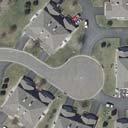
5 1. Introduction The purpose of this noise analysis is to evaluate and document the effect of the proposed I-694/I 494/I-94 () on traffic generated noise levels. This traffic noise analysis was completed consistent with the guidance and requirements of the Minnesota Department of Transportation (MnDOT) traffic noise requirements, 2017 (MnDOT Noise Requirements for Type I Federal-aid Projects as per 23 CFR 772, effective July 10, 2017). 1 The proposed project includes federal funding sources and will have federal oversight. A Categorical Exclusion Determination (CatEx) has been prepared to address Federal environmental review requirements for this project. This traffic noise analysis report has been prepared to address Federal environmental review requirements. 1.1 General Project Description The project is located in the cities of Oakdale and Woodbury, Washington County, Minnesota (see Figure 1). The proposed project includes the addition of an auxiliary lane to southbound I-694/I-494 between approximately 10 th Street and Tamarack Road and a rebuild of the southbound I-694 to eastbound I-94 loop in order to increase mobility and safety. The project will replace and widen north and southbound I-694/I-494 bridges to improve bridge condition and safety. It also includes a reconfiguration of the Collector-Distributor lane to eastbound I-94, long-term pavement repair, bituminous mill and overlay. 1.2 Background Information on Noise Noise is defined as any unwanted sound. Sound travels in a wave motion and produces a sound pressure level. This sound pressure level is commonly measured in decibels. Decibels (db) represent the logarithm of the ratio of a sound energy relative to a reference sound energy. For highway traffic noise, an adjustment, or weighting, of the high- and low-pitched sound is made to approximate the way that an average person hears sound. The adjusted sound levels are stated in units of A-weighted decibels (dba). A sound increase of 3 dba is barely noticeable by the human ear, a 5 dba increase is clearly noticeable, and a 10 dba increase is heard as twice as loud. For example, if the sound energy is doubled (i.e., the amount of traffic doubles), there is a 3 dba increase in noise, which is just barely noticeable to most people. On the other hand, if traffic increases by a factor of ten times, the resulting sound level will increase by about 10 dba and be heard to be twice as loud. 1 The MnDOT Noise Requirements is available online on the MnDOT Office of Environmental Stewardship website at APPENDIX D - TRAFFIC NOISE ANALYSIS REPORT 1 FEBRUARY 2018

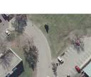
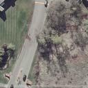
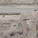
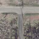
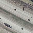
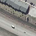
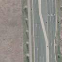
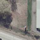
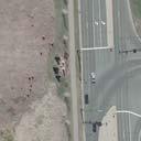
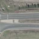
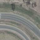
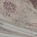
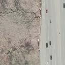
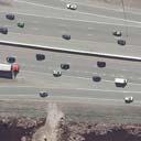
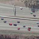
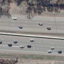
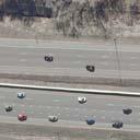
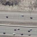
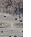
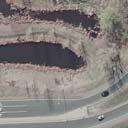
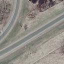
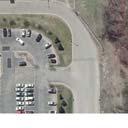
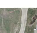
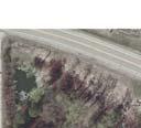
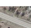
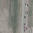
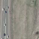
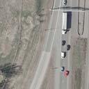
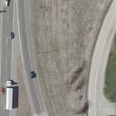
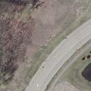
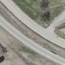
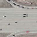
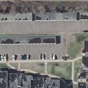
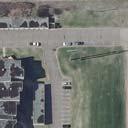
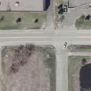
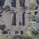
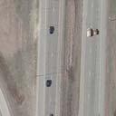
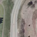
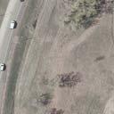
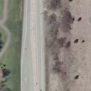
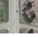
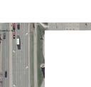
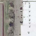
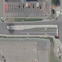
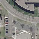
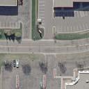
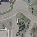
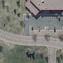
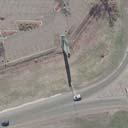
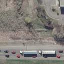
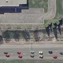
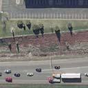
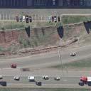
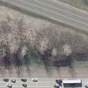
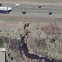
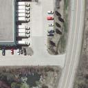
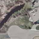
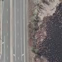
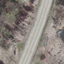
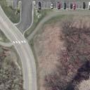
6 Figure 1: Project Location APPENDIX D - TRAFFIC NOISE ANALYSIS REPORT 2 FEBRUARY 2018
7 Traffic noise impacts are evaluated by measuring and/or modeling the traffic noise levels that are approached or exceeded the equivalent steady-state sound level at the loudest traffic hour. This number is identified as the Leq levels. Figure 2 below provides a rough comparison of the noise levels of some common noise sources. Figure 2: Decibel Levels of Common Noise Sources Source: A Guide to Noise Control in Minnesota, Minnesota Pollution Control Agency, Along with the volume of traffic and other factors (e.g., topography of the area and vehicle speed) that contribute to the loudness of traffic noise, the distance of a receptor from a sound s source is also an important factor. Sound level decreases as distance from a source increases. A general rule regarding sound level decrease due to increasing distance from a line source (roadway) that is commonly used is: beyond approximately 50 feet from the sound source, each doubling of distance from the line source over hard ground (such as pavement or water) will reduce the sound level by 3 dba, whereas each doubling of distance over soft ground (such as vegetated or grassy ground) results in a sound level decrease of 4.5 dba. APPENDIX D - TRAFFIC NOISE ANALYSIS REPORT 3 FEBRUARY 2018
8 1.3 Federal Traffic Noise Regulations The Federal Highway Administration s (FHWA) traffic noise regulation is described in 23 Code of Federal Regulations (CFR) Part 772 (Procedures for Abatement of Highway Traffic Noise and Construction Noise). 23 CFR 772 requires the identification of highway traffic noise impacts and the evaluation of potential noise abatement measures, along with other considerations, in conjunction with the planning and design of a Federal-aid highway project. The MnDOT requirements for implementation of 23 CFR 772 are described in the MnDOT Noise Requirements for Type I Federalaid Projects (effective July 10, 2017). The MnDOT Noise Requirements applies to all projects that receive Federal-aid funds or projects that are subject to FHWA approval. A traffic noise impact analysis is required for all Type I Federal-aid projects. Type I projects are defined in 23 CFR The proposed I-694, I-494 and I-94 Bridge Preservation and Mobility Improvements Project meets the definition of a Type I project (the addition of a new southbound auxiliary lane on I-694/I-494 between 10 th Street and Tamarack Road). Therefore, a traffic noise analysis is required for the proposed action. Traffic noise impacts are determined based on land use activities and predicted worst hourly Leq noise levels under future conditions. For residential land uses (Activity Category B), the Federal Noise Abatement Criterion is 67 dba (Leq). The Federal Noise Abatement Criteria (Leq) is shown below in Table 1-2. A traffic noise impact is identified in two ways. First, receptor locations where noise levels are approaching or exceeding the criterion level, which must also be evaluated for noise abatement feasibility and reasonableness. Second, receptor locations where a substantial increase occurs when comparing future modeled noise levels to existing modeled noise levels. In Minnesota, approaching is defined as 1 dba or less below the Federal Noise Abatement Criteria. For example, 66 dba (Leq) is defined as approaching the Federal Noise Abatement Criteria for residential land uses (Activity Category B). A substantial increase is defined as an increase of 5 dba or greater from existing to future conditions. APPENDIX D - TRAFFIC NOISE ANALYSIS REPORT 4 FEBRUARY 2018
9 Table 1-2. FHWA Noise Abatement Criteria Activity Category Activity Criteria (1,2) L eq(h), dba Evaluation Location Activity Description A 57 Exterior Lands on which serenity and quiet are of extraordinary significance and serve an important public need and where the preservation of those qualities is essential if the area is to continue to serve its intended purpose. B (3) 67 Exterior Residential C (3) 67 Exterior Active sport areas, amphitheaters, auditoriums, campgrounds, cemeteries, day care centers, hospitals, libraries, medical facilities, parks, picnic areas, places of worship, playgrounds, public meeting rooms, public or nonprofit institutional structures, radio studios, recording studios, recreation areas, Section 4(f) sites, schools, television studios, trails, and trail crossings. D 52 Interior Auditoriums, day care centers, hospitals, libraries, medical facilities, places of worship, public meeting rooms, public or nonprofit institutional structures, radio studios, recording studios, schools, and television studios. E (3) 72 Exterior Hotels, motels, offices, restaurants/bars, and other developed lands, properties or activities not included in A-D or F. F - - Agriculture, airports, bus yards, emergency services, industrial, logging, maintenance facilities, manufacturing, mining, rail yards, retail facilities, shipyards, utilities (water resources, water treatment, electrical), and warehousing. G - - Undeveloped lands that are not permitted. Notes (1) L eq(h) shall be used for impact assessment. (2) The L eq(h) Activity Criteria values are for impact determination only, and are not design standards for noise abatement measures. (3) Includes undeveloped lands permitted for this activity category. (4) Hotels and motels that function as apartment buildings are classified under Activity Category B. 1.4 Minnesota State Noise Standards Since the project has been defined as a Type I project under the FHWA traffic noise definition, it must follow procedures found in the MnDOT Noise Requirements. In 2016, the Commissioners of the Minnesota Pollution Control Agency (MPCA) and MnDOT agreed that the traffic noise regulations and mitigation requirements from the FHWA are sufficient to determine reasonable mitigation measures for highway noise. By this agreement, existing and newly constructed segments of highway projects under MnDOT's jurisdiction are statutorily exempt from Minnesota State Noise Standards (MN Rule ) if the project applies the FHWA traffic noise requirements. As a result, this noise analysis will follow FHWA criteria and regulations only, and the noise analysis will no longer directly address Minnesota Rule APPENDIX D - TRAFFIC NOISE ANALYSIS REPORT 5 FEBRUARY 2018
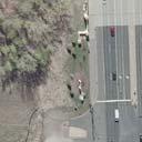
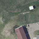
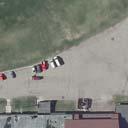
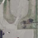
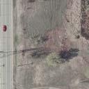
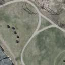
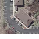
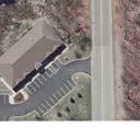
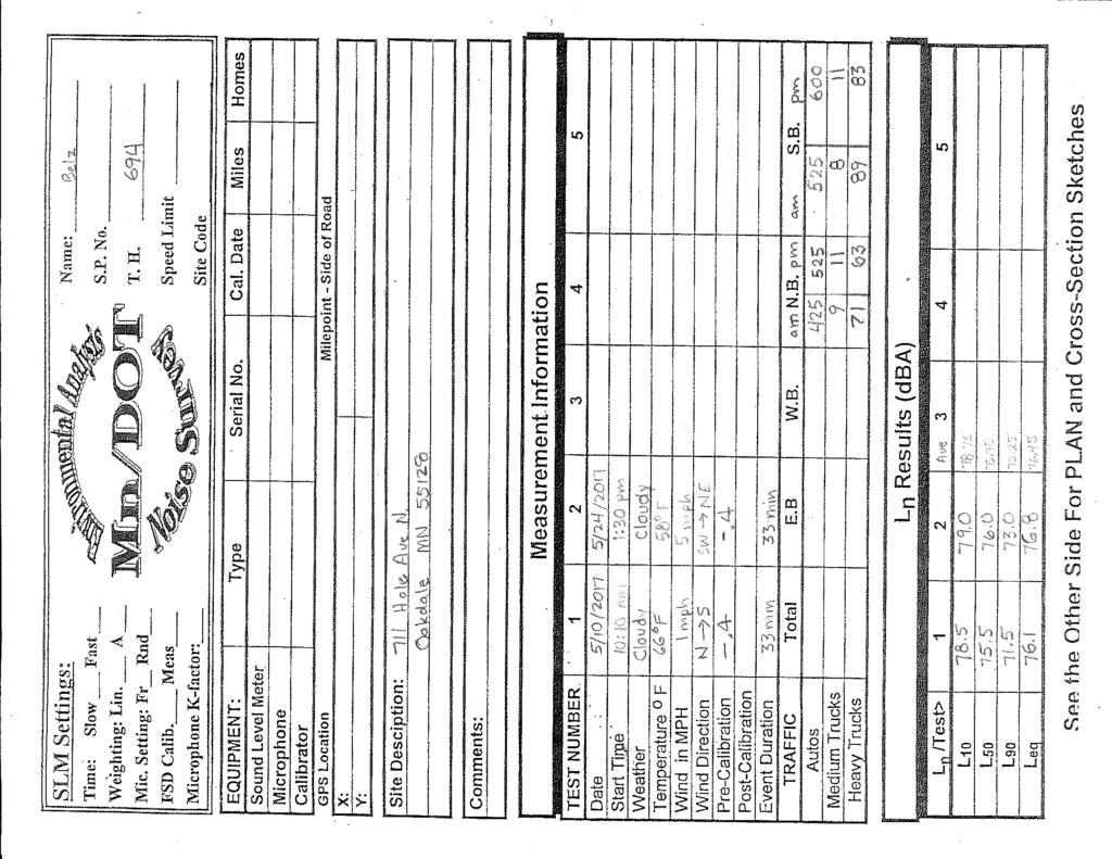
10 2. Analysis Methodology 2.1 Affected Environment The project is located in the Cities of Oakdale and Woodbury in Washington County. Existing land uses along the project section of I-694/I-494 consist of residential housing, business offices, commercial and industrial properties. Near the southern terminus of the project limits, there is an existing city trail that runs along the south side of Tamarack Road. Other noise sources include local roads. Roadways included in this analysis are 10th Street North, I-694, I-494, I-94, and Tamarack Road. For purposes of this traffic noise analysis, the project segment of I-694/494 extends from 10th Street North to approximately 1,000 feet south of Tamarack Road (see Figure 1). The northern project termini at 10 th Street North extends approximately 500 feet east and west to capture the receptors adjacent to I-694. The project segment for I-94 extends 500 feet west of the interchange and 1,000 feet east from the southeast ramp (northbound I-494 to eastbound I-94). The modeled noise levels for the No Build and Build Alternatives were considered for determining the project termini in concurrence with MnDOT Noise Requirements Section Noise Monitoring Noise Level Monitoring Results Noise level monitoring is required during a noise study to document existing noise levels and to provide data for noise model validation (comparing measured noise levels to predicted noise levels). Existing noise levels were monitored using a Bruel & Kjaer Type 2236 Sound Level Meter at 1 site adjacent to proposed project areas and were chosen to represent areas of outdoor human activity. Noise monitoring locations are described below (see also Exhibit 1.3, Appendix A): Monitoring Site 1 (Receptor M1) is located between the 10 th Street North and 4 th Street North along the west side of I-694. Receptor M1 represents where the noise level was recorded for 711 Hale Avenue North. Noise levels were collected on May 10 th and 24 th, 2017 at the location described above. Noise levels were monitored at Receptor M1; once during the morning and during the afternoon. A trained noise monitoring technician was present at each session for the entire field measurement session to ensure correct operation of the sound level meter (SLM). The field sheet produced by the technician can be found in Appendix B. The morning and afternoon monitored levels are presented below in Table 2 1. Monitored traffic noise levels ranged from 76.1 dba (Leq) to 76.8 dba (Leq). APPENDIX D - TRAFFIC NOISE ANALYSIS REPORT 6 FEBRUARY 2018
11 Table 2-1. Field Measurement Summary Receptor ID Location Description Measurement Time Measured Level, dba Start End L eq 711 Hale Ave N, 10:10 a.m. 10:45 a.m M1 Oakdale :30 p.m. 2:05 p.m Field Measurements and Predicted Noise Levels Noise monitoring results are presented in Table 2-2 along with the computer modeling results for existing traffic noise levels. Classified vehicle counts were collected during noise monitoring and were used to verify that modeled noise levels are consistent with field measurements. The speeds used for the model predictions were posted speeds (e.g., 60 miles per hour on northbound and southbound I-694). Noise monitoring results presented in Table 2-2 are an average of the applicable morning and afternoon field measurements described above. Table 2-2. Field Measurements and Predicted Noise Levels Receptor ID Field Measurement (dba) (1) Modeled Noise Level (dba) (2) Difference L eq L eq L eq (Levels - Field) M (1) Average of morning and afternoon field measurements. (2) Modeled noise levels using 30-minute traffic count for I-694 and estimated hourly traffic during comparable time of day for other roadways. A discrepancy less than or equal to 3.0 dba between predicted levels and field measurements is considered acceptable for noise model validation. Modeled traffic noise levels (Leq) were 0.2 dba above field measurements at Receptor M1. Therefore, the prediction model was validated and used without corrections. 2.3 Worst Noise Hour In general, higher overall traffic volumes, vehicle speeds, and greater volumes of heavy trucks increase the loudness of highway traffic noise. The worst hourly traffic noise impact typically occurs when traffic is flowing more freely (e.g., level of service C conditions) and when heavy truck volumes are the greatest. For determining the worst-case traffic noise hour for this project, traffic noise levels for 4 time periods were modeled at 4 representative receptor locations along the project corridor under existing conditions, taking into account the appropriate classified traffic mix (i.e., APPENDIX D - TRAFFIC NOISE ANALYSIS REPORT 7 FEBRUARY 2018
12 cars, medium trucks, heavy trucks), 3 seasonal traffic variations where appropriate, and directional split in traffic volume (i.e., westbound versus eastbound for I-94 and northbound versus southbound for I-694). The speeds used for the model predictions were posted speeds (i.e. 60 mph on northbound and southbound I-694). The Leq levels for each of the 4 modeled time periods are summarized in Table 2-3 for the 4 representative receptor locations along the project corridor. Based on this analysis, it was determined that the time period from 4:00 p.m. to 5:00 p.m. represents the worst-case traffic noise hour. The 4:00 p.m. to 5:00 p.m. hour represents a period of higher heavy truck volumes compared to other times of the day. Table 2-3. Worst Hourly Traffic Noise Summary Receptor Land Use Federal Activity Existing Modeled Noise Level (dba) by Time Period 7-8 a.m. 8-9 a.m a.m. 4-5 p.m. L eq L eq L eq L eq 1-5 Commercial F Residential B Commercial E Industrial F Federal NAC (Activity B & C) Federal NAC (Activity E) Underlined numbers approach or exceed FHWA NAC. 2.4 Traffic Noise Modeling Noise modeling was done using the FHWA Traffic Noise Model Version 2.5 (TNM 2.5). This model uses traffic volumes, speed, class of vehicle, and the typical characteristics of the roadway being analyzed (e.g., roadway horizontal and vertical alignment). The noise modeling assumed free-flow conditions through identified project limits as a worst-case scenario. Traffic data input into the TNM 2.5 noise model for the proposed project included existing (2016) 3 and future (2040) No Build and Build scenarios forecast traffic volumes. Year 2040 was identified as the future year for analysis as this is 20 years from the anticipated year of opening (2020) of the proposed project. Traffic volume projections are typically based on a 20-year time horizon. 3 Identification of the worst-case traffic noise hour based on MnDOT vehicle classification counts (e.g., cars, medium trucks, heavy trucks) for I-94/494/694 (Vehicle Classification Count Site #8751, located on I-694, Site #8750 located on I-494, Site #9884 located on I-94 to the west of the I-494/694 interchange, and Site #1354 located on I-94 to the east of the I-494/694 interchange). APPENDIX D - TRAFFIC NOISE ANALYSIS REPORT 8 FEBRUARY 2018
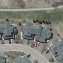
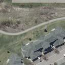
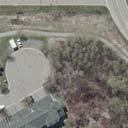
13 The hour of analysis was the 4:00 p.m. to 5:00 p.m. (see Worst Noise Hour discussion above). The 4:00 p.m. to 5:00 p.m. hour was determined to represent approximately 9 percent of daily traffic volumes for I-94 and I-494. It also was determined to represent approximately 9.2 percent of daily traffic volumes for I Predicted Noise Levels and Noise Impacts 3.1 Noise Receptors Traffic noise impacts were assessed by modeling noise levels at noise sensitive receptor locations likely to be affected by the proposed project. Traffic noise levels were modeled at 49 representative receptor locations within the project area representing residential, commercial and industrial land uses. The 49 receptor points were broken down into individual noise sensitive areas (NSA). There were a total of 4 NSA locations and 1 trail NSA. Modeled receptor locations and NSA s are illustrated in Exhibits in Appendix A. Each receptor falls under an FWHA Activity Category which can be found in Table 1-2 in this report. Land uses are identified with each modeled receptor location in Table C-1 in Appendix C. Trail There is an existing City of Woodbury trail along the south side of Tamarack Road that crosses over I-494. As per the methodology defined in the 2017 MnDOT Noise Requirements, receptors were modeled every 200 feet on the existing trail. Five receptors were modeled for this trail, all of which are designated as Activity Category C. NSA 1 NSA 1 represents eight receptors; one residential townhome complex, six commercial properties and one industrial use located in the southeast quadrant of the project area along northbound I-494 and eastbound I-94. The residential townhome complex is represented by one receptor and falls under Activity Category B. Four of six commercial receptors, including a restaurant, a hotel, and offices, are designated as Activity Category E. The other commercial receptors along with the industrial property are designated as Activity Category F. NSA 2 NSA 2 represents six receptors in the southwest quadrant of the project area along southbound I-494 and eastbound I-94. Three of the six receptors are commercial properties. Of the three commercial uses, one is designated as Activity Category F and the other two as Activity Category E (offices). There are two industrial properties is designated as Activity Category F. The receptor (2-4) just south of I-94 represents 36 residential apartments designated as Activity Category B. These apartments are outside of the project limits but have been included in this analysis to provide determination of analysis termini 4. The noise levels for this receptor showed no change 4 See Section 3.7 Determining Noise Analysis Limits Beyond Project Termini in MnDOT Noise Requirements for Type I Federal-aid Projects as per 23 CFR 772, effective July 10, APPENDIX D - TRAFFIC NOISE ANALYSIS REPORT 9 FEBRUARY 2018
14 between the No Build and Build Alternatives and is therefore outside the influence of the project (see Table B-1).Therefore, this receptor was not considered for abatement. NSA 3 NSA 3 represents 22 receptors in the northeast quadrant of the project area along northbound I-694. Four receptors represent residential land use and are designated as Activity Category B. One residential receptor represents one single family home, another represents four rental units, the next represents 66 townhome units and the last represents 26 townhome units. There are eleven commercial receptors, two of which is designated as Activity Category C (including a church and a hospice), six of which are designated as Activity Category E (including offices, restaurants, and a hotel), and the remaining two are Activity Category F. NSA 3 has seven industrial properties that are designated as Activity Category F. NSA 4 NSA 4 is located in the northwest quadrant of the project area along westbound I-94 and southbound I-694 and represents eight receptors. There are two commercial properties in this area, one is designated as Activity Category C and another as Activity Category F. There are six industrial properties, all of which fall under Activity Category F. One of the commercial receptors (Receptor 4-8) is a church that is outside of the project limits but was included in this analysis for the purpose of determining analysis termini 5. The noise levels for this receptor showed no change between the No Build and Build Alternatives and is therefore outside the influence of the project (see Table B-1).Therefore, this receptor was not considered for abatement. 3.2 Noise Model Results The noise model was run for the existing 2016 worst hour, No Build 2040 worst hour, and Build 2040 worst hour. The existing and Build model summary for each NSA are displayed below in Table 3-1. The existing worst hour Leq noise levels varied between 55.5 dba and 80.3 dba. Under existing conditions, the federal Leq Activity Criteria were approached or exceeded at 11 receptors. Future 2040 No Build worst hour Leq noise levels varied between 56.3 dba and 81.2 dba. The federal noise abatement criteria were predicted to be approached or exceeded at 11 receptors. Future 2040 Build worst hour Leq noise levels varied between 56.3 dba and 81.2 dba. The federal noise abatement criteria were predicted to be approached or exceeded at 11 receptors. Modeled Leq noise levels are projected to approach or exceed the Federal Noise Abatement Criteria under the future Build Alternative at five modeled receptor locations for Activity Category B (residential land uses), five modeled receptor locations for Activity Category C (trails), and one modeled receptor location for Activity Category E (office). None of the modeled receptor locations 5 See Section 3.7 Determining Noise Analysis Limits Beyond Project Termini in MnDOT Noise Requirements for Type I Federal-aid Projects as per 23 CFR 772, effective July 10, APPENDIX D - TRAFFIC NOISE ANALYSIS REPORT 10 FEBRUARY 2018
15 are projected to experience a substantial increase in traffic noise levels (defined as a 5 or more decibel increase) from existing conditions to the future Build Alternative. No significant increase in traffic noise levels is expected in the future 2040 No Build versus the future 2040 Build Alternatives. There are several factors of this project that determined minor differences between the noise levels of these two alternatives. Future traffic levels are the same while auxiliary lane additions improve mobility during peak hours. Minimal widening of the pavement is necessary to accommodate the auxiliary lanes. Therefore, alteration to the horizontal alignment of the roadway is minimal with respect to the receptors along this corridor. Furthermore, vertical alignments or grade raises are also minimal for this project. Similar forecasted traffic volumes, along with minimal horizontal and vertical alignment changes are the primary factors that predict minor differences between these two alternatives. Table 3-1. Traffic Noise Model Results and Noise Impacts Summary NSA Range of Predicted Noise Levels, dba, Leq, (low to high) Noise Impacts Existing Future No Build Future Build FHWA Trail 70.3 to to to NSA to to to NSA to to to NSA to to to NSA to to to Total Consideration of Noise Abatement The I-694/494/94 Interchange project is considered a Type I project for the purposes of this traffic noise analysis. Federal regulation 23 CFR indicates that if noise impacts are identified then noise abatement shall be considered and evaluated for reasonableness and feasibility. These noise abatement measures are described below. 4.1 Noise Barrier Evaluation MnDOT s requirements and procedures for evaluating noise barrier feasibility and reasonableness are set forth in Section 5.2 (Feasibility) and Section 5.3 (Reasonableness) of the MnDOT Highway Noise Requirements. The factors for determining noise barrier feasibility and reasonableness as described in the MnDOT noise requirements are summarized below Noise Barrier Feasibility Noise barrier feasibility is determined based on a consideration of two factors: 1) acoustic feasibility and 2) engineering feasibility. Acoustic feasibility: For a noise barrier to be considered acoustically effective, it must achieve a noise reduction of at least 5 dba at the impacted receptors for those receptors to be considered benefited by a noise barrier. Not every impacted receptor must receive this minimum 5 dba APPENDIX D - TRAFFIC NOISE ANALYSIS REPORT 11 FEBRUARY 2018
16 reduction; however, at least one impacted receptor must meet the minimum 5 dba reduction for a noise barrier to achieve acoustic feasibility. Engineering feasibility: Engineering feasibility addresses whether or not it is possible to design and construct a proposed noise abatement measure. A sample of potential constructability considerations includes safety, topography, drainage, utilities, and maintenance considerations. Engineering considerations are also taken into consideration in determining noise barrier height. MnDOT has established a maximum noise barrier height of 20 feet above the finished ground line at the noise barrier. In addition, MnDOT has established a maximum noise barrier height of 10 feet above the bridge deck when it is necessary for a noise barrier to be attached to an existing bridge structure. The feasibility of noise barrier construction is sometimes dependent on design details that are not known until the final design phase of the project. For the purpose of this traffic noise analysis, it was assumed that noise barriers were feasible with respect to engineering feasibility/constructability considerations. It was also assumed that utilities located within existing right of way could be relocated to accommodate modeled noise barriers, and existing and proposed drainage could be maintained. All modeled noise barriers were located within existing highway right of way limits Noise Barrier Reasonableness Noise barrier reasonableness decisions are based on a consideration of three reasonableness factors: 1) noise reduction design goal, 2) cost effectiveness, and 3) the viewpoint of benefited residents and property owners. Noise reduction design goal: A minimum 7 dba reduction must be achieved for at least one benefited receptor behind the noise barrier to meet noise reduction design goals. Cost effectiveness: To be considered cost-effective, the cost per individual benefited receptor (i.e., residence, commercial entity, industrial entity) should be equal to, or less than $78,500. In order to assess cost effectiveness, at least one benefited receptor behind the noise barrier must meet the noise reduction design goal described above. The following formula is used to determine the cost-effectiveness of the barrier: The cost-effectiveness index is equal to the cost of the noise barrier divided by the number of individual benefited receptors (i.e., residences, commercial entities, industrial entities) that are predicted to experience noise level reductions of 5 dba or more. Only those receptors that experience a 5 dba or greater decibel decrease are considered in this formula. The result is a cost per benefited receptor value (residence, commercial entity, or industrial entity represented by each modeled receptor). The cost of a noise barrier is calculated using $36 per square foot of barrier, based on limited historical data from MnDOT projects as well as using national pricing data using an acoustical absorbent concrete post/concrete panel type wall (MnDOT s standard wall design). To be considered cost-effective, the cost per individual benefited receptor must be equal to or less than $78,500 per receptor. There are several steps to assessing the cost effectiveness of noise barriers. First, the costeffective noise barrier height is determined for each segment of the project area, beginning with the evaluation of a 20-foot tall noise barrier (MnDOT s maximum height; see discussion of engineering feasibility above). If a 20-foot tall noise barrier meets the reasonableness criteria APPENDIX D - TRAFFIC NOISE ANALYSIS REPORT 12 FEBRUARY 2018
17 and is feasible, it would be proposed for construction. If the 20-foot tall barrier meets the noise reduction design goal but does not meet the cost effectiveness criteria, then noise barrier heights of less than 20 feet are studied. If a noise barrier height less than 20 feet meets the reasonableness criteria and is feasible, it would then be proposed for construction. Noise barrier cost effectiveness is studied up to the point where a modeled barrier does not meet the noise reduction design goal of a minimum 7 dba reduction for at least one benefited receptor. Viewpoint of benefited residents and property owners: The third criterion in determining noise barrier reasonableness is the viewpoint of benefited residents and property owners. A benefited property is defined as a receptor adjacent to a proposed noise abatement measure that receives a noise reduction equal to or greater than 5 dba. If benefited residents and property owners indicate that a proposed noise barrier is not desired, then the noise barrier is removed from further consideration and would not be constructed with the project. There are two steps in determining the desires of the benefited property owners and residents regarding the construction of a proposed noise abatement measures. First, the viewpoint of benefited property owners and residents is solicited through a public involvement process (e.g., open house meeting, direct mailing of a solicitation form). Second, the input received from benefited property owners and residents through this public involvement process is expressed in a vote that is weighted as follows: The owner of a benefited property immediately adjacent to the highway right of way for the proposed project (i.e., first-row properties) receives 4 points and the resident (owner or renter) receives 2 points. The owner/resident of a benefited property receives a total of 6 points. The owner of a benefited property not immediately adjacent to the highway right of way for the proposed project (e.g., second-row properties, third-row properties) receives 2 points and the resident (owner or renter) receives 1 point. The owner/resident of a benefited property receives a total of 3 points. When there is no outdoor area of frequent human use associated with a benefited property, the owner of the benefited property receives a total of 4 points if the property is located immediately adjacent to the highway right of way (i.e., firstrow properties). If the property is not immediately adjacent to the highway right of way (i.e., second-row properties, third-row properties), the owner of the benefited property receives a total of 2 points. If 50% or greater of all possible voting points from benefited receptors for a barrier are received on the first solicitation (typically by mail and/or ballot received at a public meeting), then a simple majority of voting points cast will be used to determine if the proposed barrier will be constructed or not. If less than 50% of all possible points for a barrier are received on the first solicitation, a second solicitation (typically by mail) will be sent to benefited receptors who did not respond to the first solicitation. If after the second solicitation 25% or greater of all possible points for a barrier are received, a simple majority of voting points cast will be used to determine whether the barrier will be constructed or not. However, if fewer than 25% of total possible points for a noise barrier are received after the second solicitation, then the barrier will not be APPENDIX D - TRAFFIC NOISE ANALYSIS REPORT 13 FEBRUARY 2018
18 constructed. In the case of a tie (equal number of points for and against a barrier) the barrier will be constructed. For additional detail on assessing viewpoints of benefited receptors, please see MnDOT 2017 Noise Requirements, Section (Viewpoints of Benefitted Residents and Owners) and Appendix E (Guidance on Public Involvement Related to Noise Studies. 4.2 Noise Barrier Analysis Results Noise barriers were evaluated at all modeled receptor locations within the project area where traffic noise levels are predicted to approach or exceed FHWA noise abatement criteria under future (2040) Build Alternative conditions. The locations of modeled noise barriers are illustrated in Exhibit 1.1 through Exhibit 1.3, in Appendix A. Noise barrier cost-effectiveness results are tabulated at the end of this report in Appendix D. The results presented below represent the most acoustically effective and/or cost effective noise barrier configuration. Results for a 20-foot high noise barrier are described with each modeled barrier first, followed by a discussion of additional barrier heights less than 20 feet where applicable. The following discussion of noise barrier analysis results refers to Leq levels only. Trail Wall 1 (south side of Tamarack Road on bridge, crossing I-494 along trail, north of trail receptors) 5 receptors This area is primarily made up of trail receptors, with the exception of two nearby receptors from NSA 2. There is a receptor (2-1) with industrial land use that does not receive any noise reduction, according to the model results. The second nearby receptor (2-6) known to be an office receives a minimal noise reduction of 0.1 dba. Modeled noise levels are projected to exceed the Federal Noise Abatement Criteria for trails (Activity Category C) under the future Build Alternative. This noise barrier was analyzed along the south side of Tamarack Road on the bridge structure crossing over I-494. Wall 1 was modeled at varying heights of 20 feet off structure and 10 feet on structure for a total length of 1,430 feet. A portion of the wall was modeled at a maximum height of 10 feet on Tamarack Road Bridge for a length of 672 feet, in concurrence with MnDOT s established standard for existing bridges. Two trail receptors received a noise reduction above 5 dba but below the design goal of 7 dba. The wall did not achieve MnDOT s noise reduction design goal of 7 dba or higher at any of the receptor locations. Additional barrier heights were not analyzed because the design goal was not met with the maximum barrier height. Wall 1 is considered not reasonable and will not be proposed. NSA 1 No receptors in this area approach or exceed the Federal Noise Abatement Criteria and are therefore not impacted. APPENDIX D - TRAFFIC NOISE ANALYSIS REPORT 14 FEBRUARY 2018
19 NSA 2 No receptors in this area approach or exceed the Federal Noise Abatement Criteria and are therefore not impacted. NSA 3 Wall 2 (northeast of I-694/494/94 Interchange, between northeast ramp and Hudson Blvd.) 5 Receptors This area is a mix of residential, commercial, and industrial land uses. There are two residential receptors, two commercial receptors, and one industrial receptors. Modeled noise levels are projected to exceed the Federal Noise Abatement Criteria for residential land uses (Activity Category B) for 2 receptors under the future Build Alternative. One noise barrier was analyzed along the northeast ramp from westbound I-94 to northbound I-694 where the two impacted residential properties are located. The modeled wall begins approximately where the westbound I-94 ramp separates from the mainline and ends 200 feet before the ramp joins with northbound I-694. Wall 2 was modeled at 20 feet high for a total length of 1,105 feet. At 20 feet high, five receptors achieved a 5 dba reduction. The wall did not achieve MnDOT s noise reduction design goal of 7 dba or higher at any of the receptor locations. Additional barrier heights were not analyzed because the design goal was not met with the maximum barrier height. Wall 2 is considered not reasonable and will not be proposed. NSA 3 includes a commercial receptor (Activity Category E), which was determined to be not impacted because the building has no outdoor use area. Receptor 3-8 is an indoor gym with no outdoor area of frequent human use and is therefore not considered impacted for the purposes of this barrier analysis. NSA 4 No receptors in this area approach or exceed the Federal Noise Abatement Criteria and are therefore not impacted. 4.3 Other Noise Mitigation Techniques Noise abatement measures other than noise barriers were considered but determined not feasible and/or reasonable for the proposed project. These measures are summarized below. Traffic Management Measures: These measures include such items as prohibition of certain vehicle types and time-use restrictions for certain vehicle types. These traffic management measures are not reasonable for the project roadways because this would be inconsistent with their intended purpose of I-694, I-94, and I-94 as a principal arterial roadway. APPENDIX D - TRAFFIC NOISE ANALYSIS REPORT 15 FEBRUARY 2018
20 Modified Speed Limits: Existing posted speed limits on the project roadways are 60 mph for I 494. The speed limit on Tamarack Road is 45 mph. A decrease in speed of approximately 20 mph is necessary for a noticeable decrease in noise levels. However, lower speeds would reduce roadway capacity. Similar to the traffic management measures noted above, lower speed limits would not be consistent with the function of the roadways. In addition, motorists would likely not obey a substantially lower speed limit. Vertical and Horizontal Alignment: Changes in the horizontal and vertical alignment of the project segments are not part of the project scope. Substantial changes in the horizontal and vertical alignment of the project area roadways are not feasible without potential impacts to adjacent properties adjacent to the highway. Landscaping/Natural Noise Screening: Vegetation is only effective for reducing noise levels if it is at least 100 to 200 feet deep, a minimum of 15 feet above the line of sight, and dense enough that it cannot be seen through (e.g., evergreen vegetation, which maintains its foliage year round). It is not feasible or reasonable to plant enough vegetation to achieve substantial noise level reductions. As such, vegetation is not a reasonable noise mitigation measure. Exclusive Land Use Designations: Buffer zones are undeveloped, open spaces adjacent to a roadway corridor. Land uses adjacent to the project corridor consist of residential, commercial and industrial. Acquisition of property to serve as a buffer zone between the project corridor and adjacent lands is not reasonable. Noise Insulation of Non-Residential Buildings: Under the MnDOT Noise Requirements, only non-residential buildings such as schools, hospitals, and places of worship should be considered for acoustical insulation if there are no exterior areas of frequent human use associated with the property. These types of land uses do occur in the project area, but they do not exceed their designated federal noise abatement criteria. More specifically, there is a church located in NSA 3 that is represented by receptor 3-6 and a hospice located at receptor The existing model, No Build and Build models show that the noise levels at these properties are below and not approaching the federal criteria for Activity Category C. The results and Federal Noise Abatement Criteria can be found in Table C-1 in Appendix C and Table Construction Noise The construction activities associated with implementation of the proposed project will likely result in temporally increased noise levels relative to existing conditions. These impacts will primarily be associated with construction equipment and pile driving. The Table 5-1 shows maximum noise levels monitored at 50 feet and typical use factors for various types of construction equipment. This equipment list, while not exhaustive, covers a variety of construction equipment associated with various roadway construction phases and activities. APPENDIX D - TRAFFIC NOISE ANALYSIS REPORT 16 FEBRUARY 2018
21 Table 5-1. Typical Construction Equipment Maximum Noise Levels Equipment Description Impact Device? 50ft (dba, slow) Auger Drill Rig No 85 Backhoe No 80 Blasting Yes 94 Chain Saw No 85 Clam Shovel (dropping) Yes 93 Compactor (ground) No 80 Compressor (air) No 80 Concrete Batch Plant No 83 Concrete Mixer Truck No 85 Concrete Pump Truck No 82 Concrete Saw No 90 Crane No 85 Dozer No 85 Dump Truck No 84 Excavator No 85 Front End Loader No 80 Generator No 82 Grader No 85 Impact Pile Driver Yes 95 Jackhammer Yes 85 Mounted Impact Hammer (hoe ram) Yes 90 Paver No 85 Pneumatic Tools No 85 Rock Drill No 85 Roller No 85 Scraper No 85 Vacuum Excavator (Vac-truck) No 85 Vibratory Pile Driver No 95 Welder / Torch No 73 Source: FHWA Roadway Construction Noise Model User s Guide, FHWA-HEP , 2006 (abridged) Elevated noise levels are, to a degree, unavoidable for this type of project. The I-694/494/94 Bridge Preservation and Mobility Improvements Project will require that construction equipment be properly muffled and in proper working order. While MnDOT and its contractor(s) are exempt from local noise ordinances, it is the practice to require contractor(s) to comply with applicable local noise restrictions and ordinances to the extent that is reasonable. Advanced notice will be provided to affected communities of any planned abnormally loud construction activities. It is anticipated that night construction will sometimes be required to minimize traffic impacts and to improve safety. However, construction will be limited to daytime hours as much as possible. This project is expected to be under construction for one construction season. If necessary, a detailed nighttime construction mitigation plan will be developed during the project final design stage. APPENDIX D - TRAFFIC NOISE ANALYSIS REPORT 17 FEBRUARY 2018
22 Any associated high-impact equipment noise, such as pile driving, pavement sawing, or jack hammering, will be unavoidable with construction of the proposed project. Pile-driving noise is associated with any bridge construction and sheet piling necessary for retaining wall construction. While pile-driving equipment results in the highest peak noise level, as shown in Table 5-1, it is limited in duration to the activities noted above (e.g., bridge construction). The use of pile drivers, jack hammers, and pavement sawing equipment will be prohibited during nighttime hours. 6. Conclusions and Recommendations 6.1 Summary of Noise Model Results Construction of the proposed I-694/494/94 Interchange Bridge Preservation and Mobility Improvements Project will result in increases in traffic noise levels compared to existing conditions. Modeled noise levels are predicted to range from 56.3 dba (Leq) to 81.2 dba (Leq) with the future (2040) Build Alternative. Modeled Leq noise levels are projected to approach or exceed the Federal Noise Abatement Criteria at a total of 11 modeled receptor locations with the future Build Alternative. Of these eleven modeled receptor locations, five represent residential land uses where modeled levels are projected to approach or exceed the Federal Noise Abatement Criterion for Activity Category B uses. Five modeled receptor locations are projected to approach or exceed the Federal Noise Abatement Criterion for Activity Category C uses and one for Activity Category E. None of the modeled receptor locations are projected to experience a substantial increase in traffic noise levels from existing conditions to the future Build Alternative. 6.2 Summary of Analyzed Noise Abatement Measures Noise abatement measures were evaluated along the I-694/494/94 project corridor at modeled receptor locations that are projected to approach or exceed Federal Noise Abatement Criteria. A total of 2 barriers were analyzed as part of the I-694/494/94 Bridge Preservation and Mobility Improvements Project. None of these barriers were found to meet MnDOT s minimum 7 dba noise reduction design goal to be considered reasonable. Therefore, no noise barriers are being proposed as part of this project. 6.3 Statement of Likelihood These preliminary indications of likely abatement measures described above are based upon preliminary design. Final mitigation decisions will be subject to final design considerations and the viewpoint of benefited residents and property owners. If it subsequently develops during final design that conditions have substantially changed, noise abatement measures may not be provided. Affected benefited receptors and local officials will be notified of plans to eliminate or substantially modify a noise abatement measure prior to the completion of the final design process. This notification will explain changes in site conditions (if any), additional site information, any design changes implemented during the final design process, and an explanation of noise barrier feasibility and reasonableness. A final decision regarding installation of the proposed abatement measure will be made upon completion of the project s final design and the public involvement process. APPENDIX D - TRAFFIC NOISE ANALYSIS REPORT 18 FEBRUARY 2018
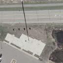
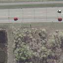
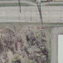
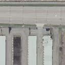
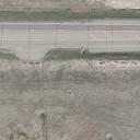
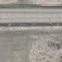
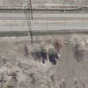
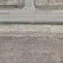
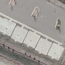
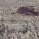
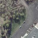
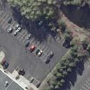
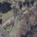
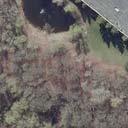
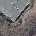
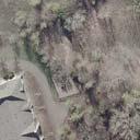
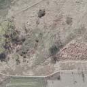
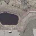
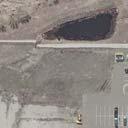
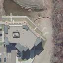
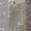
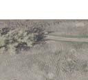
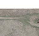
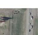
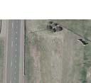
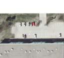
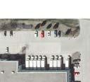
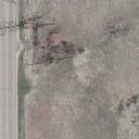
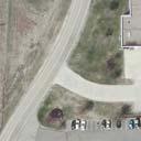
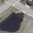
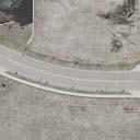
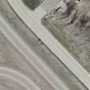
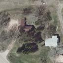
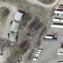
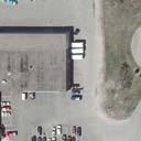
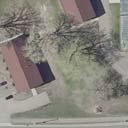
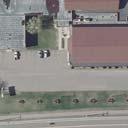
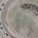
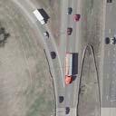
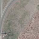
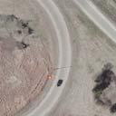
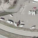
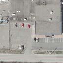
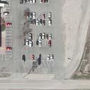
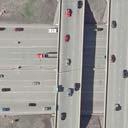
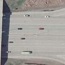
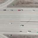
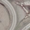
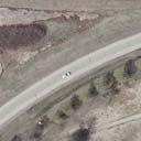
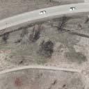
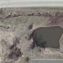
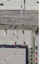
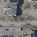
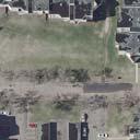
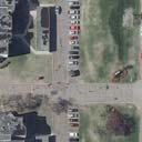
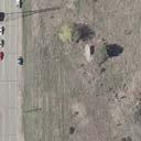
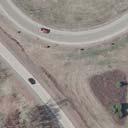
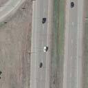
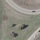
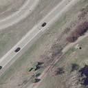
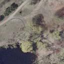
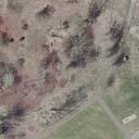
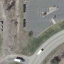
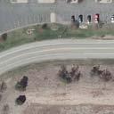
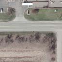
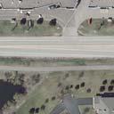
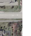
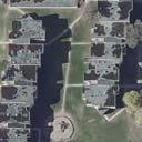
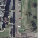
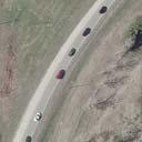
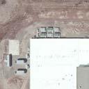
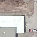
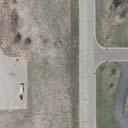
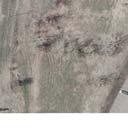
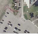
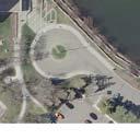
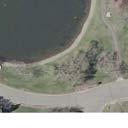
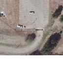
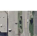
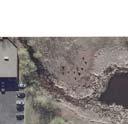
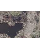
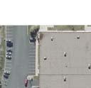
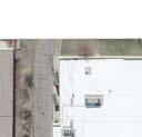
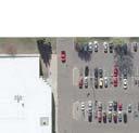
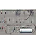
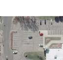
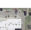
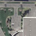
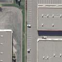
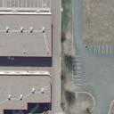
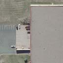
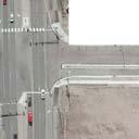
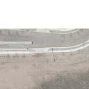
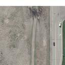
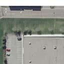
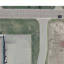
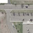
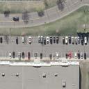
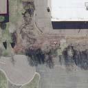
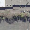
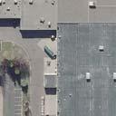
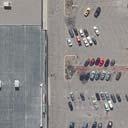
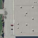
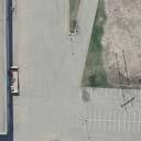
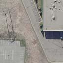
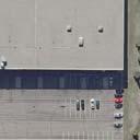
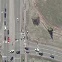
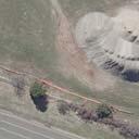
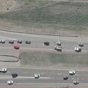
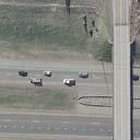
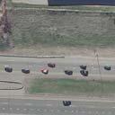
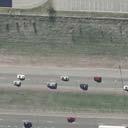
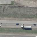
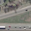
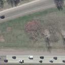
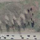
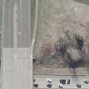
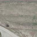
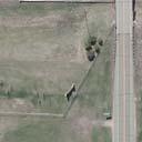
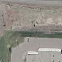
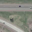
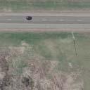
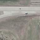
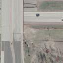
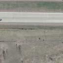
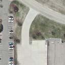
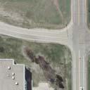
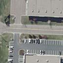
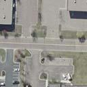
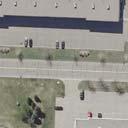
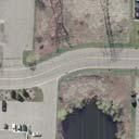
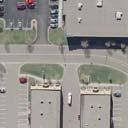
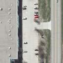
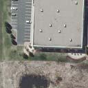
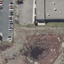
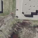
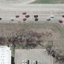
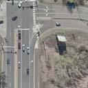
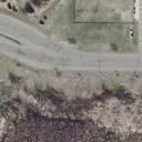
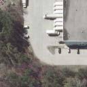
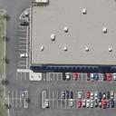
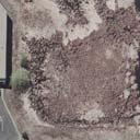
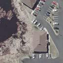
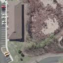
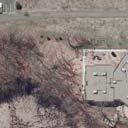
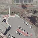
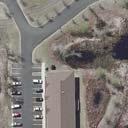
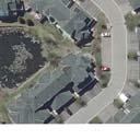
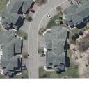
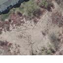
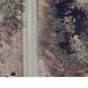
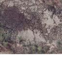
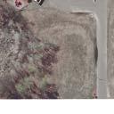
23 Appendix A Noise Analysis Figures


24


25


26
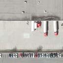
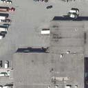
27 Appendix B Noise Measurement Field Sheet
28
29
30 Appendix C Noise Model Results Table
31 Table C-1: Model Results for Existing and Future Alternatives Modeled Noise Levels Difference Difference between Between 2040 No FHWA Existing and 2040 Existing and Activity No. of 2016 Existing (1) Build (1) No Build Build (1) Build Receptor ID Land Use Category Units L eq L eq L eq L eq L eq 1-1 Restaurant E Hotel E Office E Office E Retail F Industrial F Industrial F Townhomes B Industrial F Industrial F Office E (2) Apartments/Rentals B Warehouse F (3) Commerical E Retail F Apartments/Rentals B Single Family Home B Industrial F Industrial F Hospice C Industrial F (3) Gym E Office F Restaurant E Hotel E Commercial E Commercial E Commercial E Industrial F Office F Industrial F Hospice C Restaurant E Townhomes B Industrial F Townhomes B Industrial F Industrial F Industrial F Industrial F Industrial F Industrial F Retail F (2) Church C T1 Trail C T2 Trail C T3 Trail C T4 Trail C T5 Trail C (1) Underlined numbers represent any value approaching or exceeding the federal NAC. (2) Receptor used to establish analysis termini, but is outside of the project limits. Therefore, it is not considered impacted and no abatement analysis is required. (3) Receptor does not have an outdoor use area and is therefore not considered impacted for this analysis.