Watershed Improvements
|
|
|
- Shannon Grant
- 5 years ago
- Views:
Transcription


1 Watershed Improvements Gwinnett County Georgia Association of Floodplain Managers March 14, 2013
2 Overview Watershed Assessment to 2000 Watershed Protection Plan Watershed Improvement Plans to 2011 Project Implementation to present *Satisfy Permit requirements (NPDES, MS4, MNGWPD, TMDLs)


3 Watershed Improvement Program Watershed Assessment evaluation: Water quality Habitat Biology Watershed Protection Plan: Mitigate altered hydrology Protect Riparian Corridors Prevent pollutant releases

4 Watershed Protection Plan New Development Regulations Improve Affected Areas Other activities to promote watershed stewardship (performance based, quantifiable, TSS based)


5 Watershed Improvement Approach BMPs-New and Retrofits Remove Pollutants Mitigate Changes in Hydrology Disconnect Impervious Areas Improve stream stability and habitat Natural Channel Design and Construction Restore Aquatic Integrity and Biological Function
 Improve Aquatic Integrity /")

6 Watershed Improvement Goals Improve / Protect Water Quality (TSS reduction) Improve Aquatic Integrity / Habitat Meet permit requirements Meet WQ Standards / Designated Use Improve natural and urban environment

 Channel Protection capture and detain the 1-year frequency event Restore")
7 WIP Strategy Retrofit watersheds to maximum extent practicable providing treatment the for: Water Quality capture and detain first flush (runoff from 85% rainfall event or first 1.2 inches) Channel Protection capture and detain the 1-year frequency event Restore form and function of streams using natural channel design and construction practices.


8 Watershed Improvement Plans Stream Walks Watershed Inventory GIS WQ Modeling CIP Development 437 square miles completed
 vs.")
9 WQ Modeling / CIP Development TSS Source-Washoff (15%) vs. Channel (85%)?


10 Watershed Protection Plans


11 Project Sheets Brown and Caldwell 11

12 Multiple Objectives Improve / protect natural resources Pollutant removal and habitat improvement Provide passive recreation Provide education and outreach Improve urban environment Balance form and function Compatibility with vision/goals of multiple partners and a variety of land uses


13 Implementation Issues Funding Permitting federal, state, local Partnering-private/public County Parks Land Trust Board of Education Service Request (citizens) Public outreach Land use compatibility Access legal/physical Public/private No condemnation

14 ..and more issues Public Opinion Public Health / Welfare Safety Mosquitoes Algae Privacy Security Aesthetics

15 Access Opportunities? Existing Drainage Easements County owned property Parks and recreation set-a-sides DOT R.O.W. Old farm ponds and lakes Abandoned oxidation ponds Service Requests/complaints Observed problems/opportunities Riparian/Environmental Buffers Undeveloped/unusable land FEMA Flood Hazard Zones, Floodplains (BMPs and stream restoration) Floodways (stream restoration)
16 BMP and Stream Issues BMP Retrofits Old ponds designed for peak flow attenuation Many under sized due to design methodology Usually no room for expansion w/o land use impacts Many on-line Potential liability New BMPs Simply no room without impacts on land use/property values Streams Restoration Often welcomed Other BMP issues: Piedmont: intermittent streams often begin at 5 to10 acres ( state waters ) GA Stormwater Manual recommends wet ponds have minimum D.A. of 10 to 25 acres ( state waters ) Results: many very small BMPs / LID practices

17 Opportunities *FEMA Floodplains Existing Drainage Easements County owned property *Parks and recreation set-a-sides DOT R.O.W. *Old farm ponds and lakes *Abandoned oxidation ponds Service Requests *Riparian/Environmental Buffers *Undeveloped/unusable land *FEMA Flood Hazard Zones, Floodplains-BMPs: Floodplain enhancement / connectivity, LID, etc. Floodways- Stream restoration, flow diversions


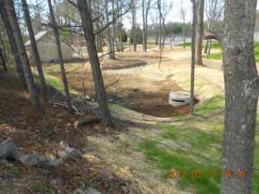
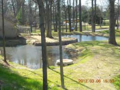
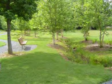
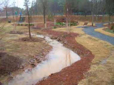
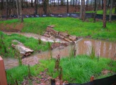
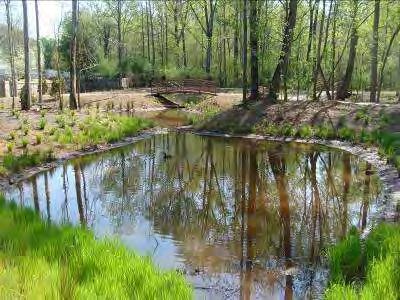
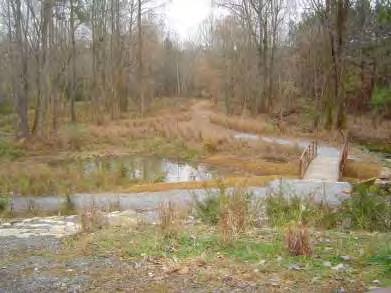
18 Enhance Floodplain Functions Reduce peak flow, frequency, velocities Improve Floodplain connectivity Flow diversions Stream restoration Enhance pollutant removal Filtration Sedimentation Recharged ground water Constructed wetlands Bio-retention LID practices Recreation, Education and outreach opportunities

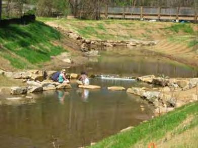
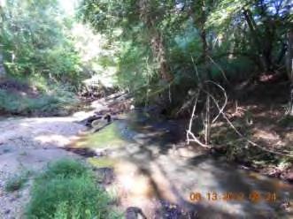
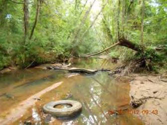
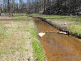
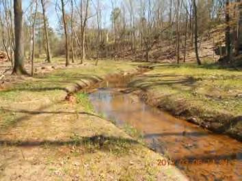
19 Completed Projects
 Chattahoochee Tributaries 439,392 lbs/yr Sweetwater Creek 725,230 lbs/yr Crooked Creek 392,658 lbs/yr Upper Yellow River 679,693")
20 WIP Projects and TSS Removal ~ 3.4 Million lbs. TSS/year (BMPs and ~4 miles streams restored) Chattahoochee Tributaries 439,392 lbs/yr Sweetwater Creek 725,230 lbs/yr Crooked Creek 392,658 lbs/yr Upper Yellow River 679,693 lbs/yr Beaver Ruin Creek 56,076 lbs/yr Lower Yellow River and No Business Creek 791,767 lbs/yr Big Haynes Creek 242,703 lbs/yr
21

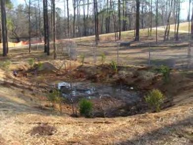
22 Low Impact Development Treat / address runoff at the source Restore/Mimic natural processes Storage-foliage, forest litter, depressions Infiltration-increased base flow Filtration Evapotranspiration Biological / chemical uptake Integrate into landscape / site design Volume based vs. flow based DWR Parking Lot Retrofit


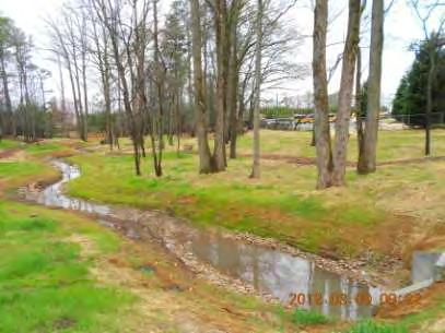
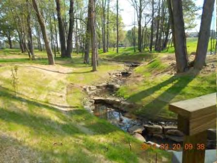
23 Bio-Retention / Filtration Pond

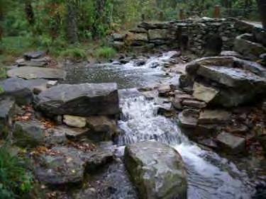
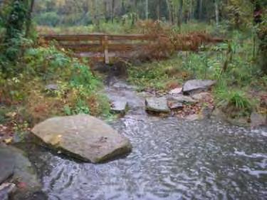
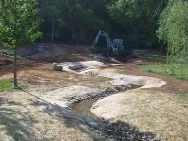
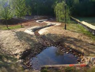
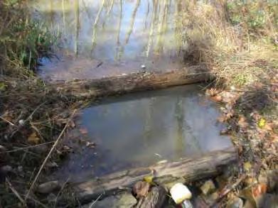
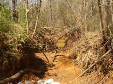
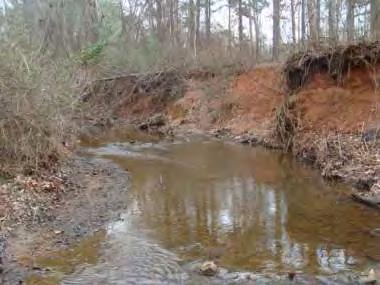
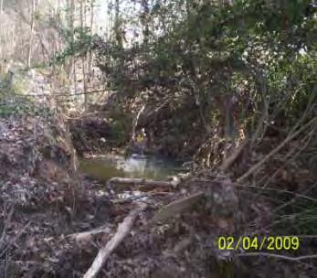
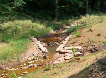
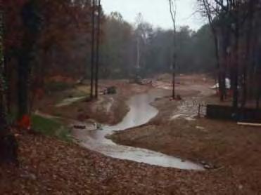
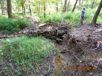
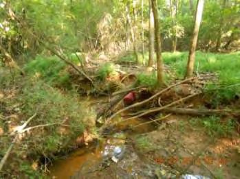
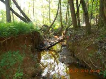
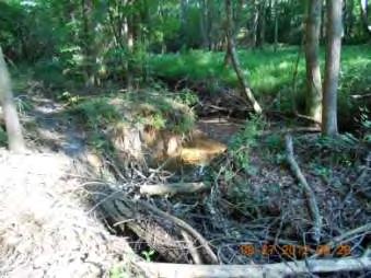
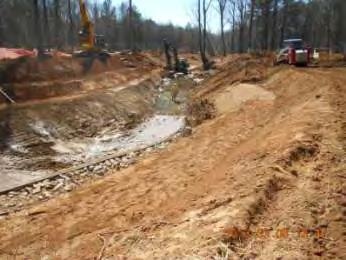
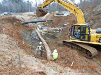
24 Stream Restoration
 Bank full Width Bank full")
25 Minimum Flood Prone 2X Bank full Depth, Q10 (minimum) Bank full Width Bank full Depth


26 Big Haynes Wetland


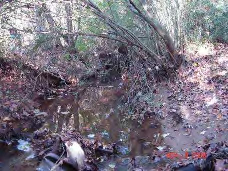
27 Dec., 02 Floodplain connection Head cut Collins Hill Park July, 03 July, 04 Dec., 07

28 Collins Hill Park


29 Collins Hill Park


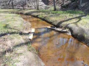
30 Riverside Parkway

31 Riverside Parkway


32 Ronald Reagan Park

33 Ronald Reagan Park

34 North Fork Peachtree

35 North Fork P tree Rock Walls Sediment Forebay Diversion Channel Stormwater Diversion Structure Wetland Outlet Culvert Replacement Geotechnica l Bank Stabilization Buffer Plantings Stream Restoration Maintenance Access Trail


36 North Fork P tree


37 North Fork P tree

38 North Fork Peachtree

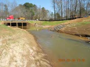
39 Old Norcross Old Norcross Rd
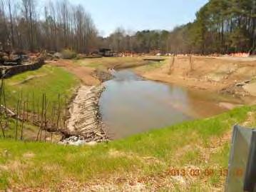
40 Old Norcross


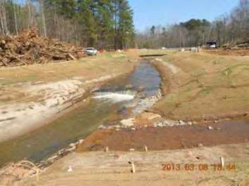
41 Old Norcross


42 Old Norcross


43 Sweetwater-Old Norcross

44 Old Norcross


45 Bushy GHS
46