E-navigation from theory to practical applications. Jon Leon Ervik Head of Department
|
|
|
- Marjorie Jacobs
- 5 years ago
- Views:
Transcription

1 E-navigation from theory to practical applications Jon Leon Ervik Head of Department


2 Development?

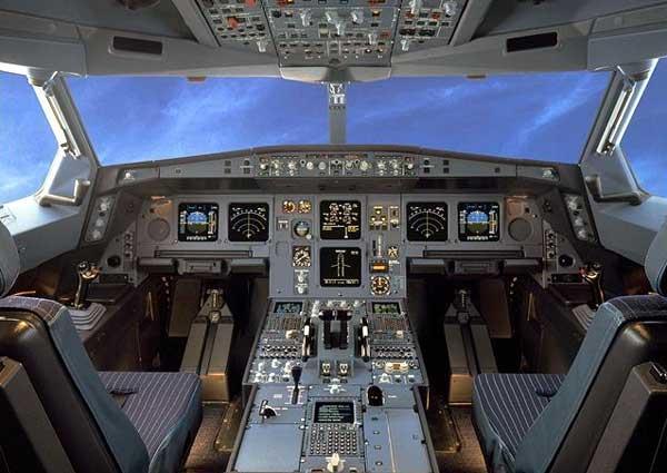
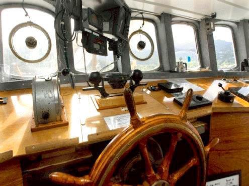
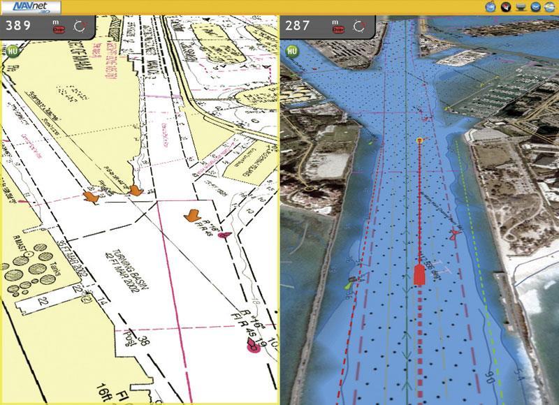
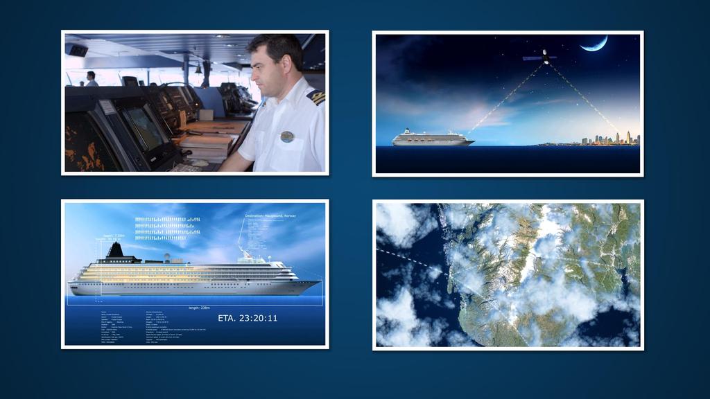
3 Flight cockpit
4


5 User friendly?
6
7 Technical opportunities?
8
9 Technical opportunities?


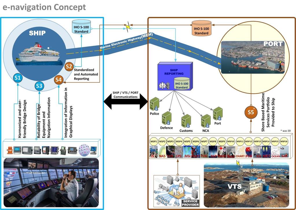
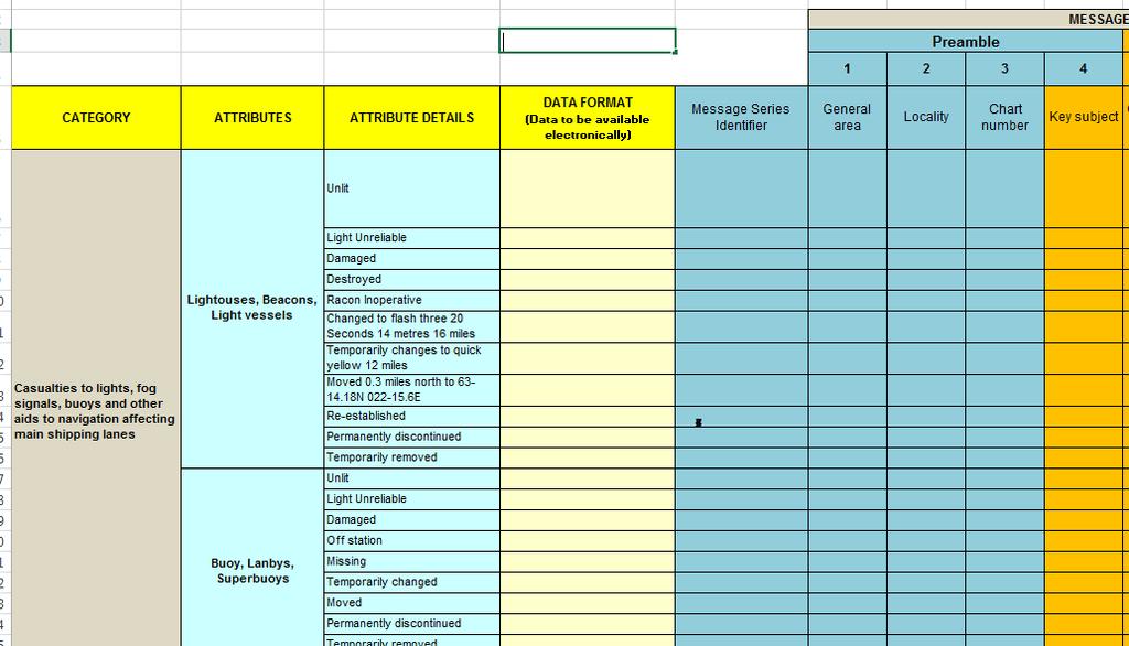
10 Opportunities in e-navigation E-navigation is the harmonised collection, integration, exchange, presentation and analysis of maritime information onboard and ashore by electronic means to enhance berth to berth navigation and related services, for safety and security at sea and protection of the marine environment.
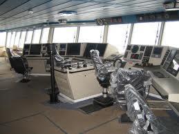
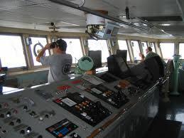
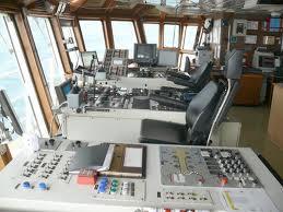
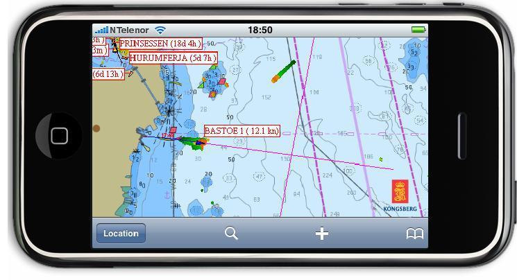
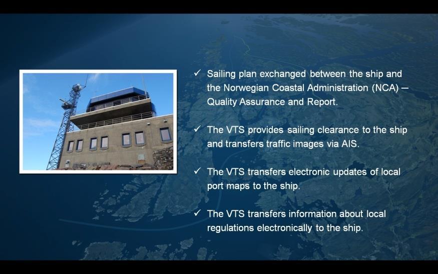
11 5 Agreed e-navigation Solutions Solution S1 Improved, harmonized and user-friendly bridge design Solution S2 Solution S3 Solution S4 Solution S9 Means for standardized and automated reporting Improved reliability, resilience and integrity of bridge equipment and navigation information Integration and presentation of available information in graphical displays received via communication equipment. Improved Communication of VTS Service Portfolio.
12 Example of Maritime Service Portfolio (MSP) MSP1 VTS Information Service (IS) MSP10 Telemedical Maritime Assistance Service MSP2 Navigational Assistance Service (NAS) MSP11 Maritime Assistance Service (MAS) MSP3 Traffic Organization Service (TOS) MSP12 Nautical Chart Service MSP4 Local Port Service (LPS) MSP13 Nautical Publications Service MSP5 Maritime Safety Information (MSI) Service MSP14 Ice Navigation Service MSP6 Pilotage Service MSP15 Meteorological Information Service MSP7 MSP8 Tugs Service Vessel Shore Reporting MSP16 Real-Time Hydrographic and Environmental Information Services MSP17 Search and Rescue (SAR) Service The objective of the MSP concept is to align global maritime services with the need for information and communication services in a clearly defined operational area.
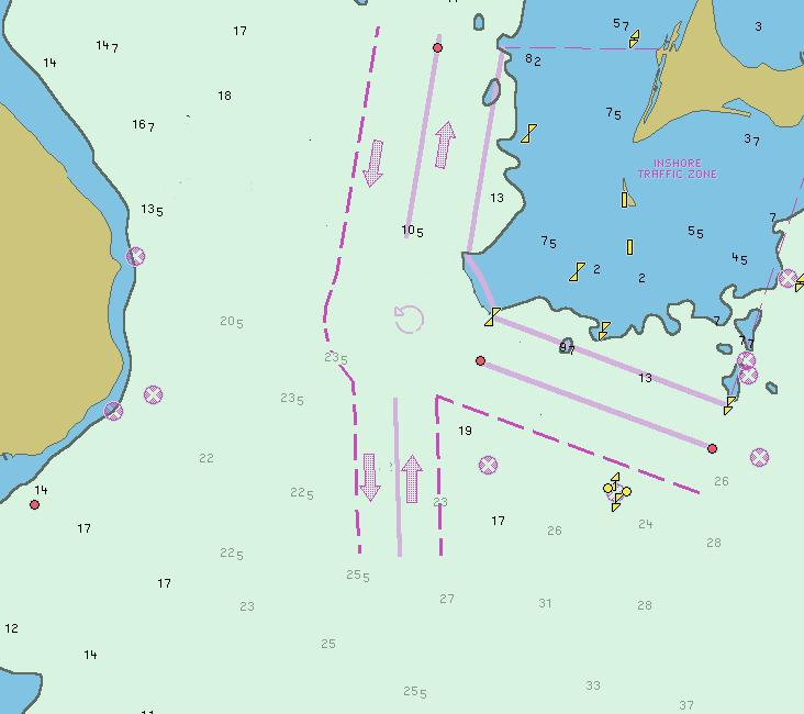
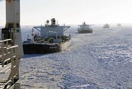
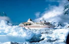
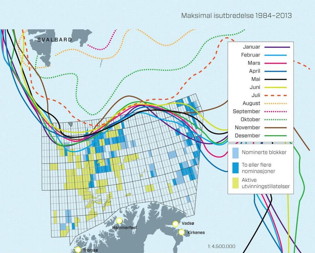
13 Six identified areas for MSP Port areas and approaches Coastal waters and confined or restricted areas Open sea and open areas Areas with offshore and / or infrastructure developments Polar areas, and Other remote areas
14

15 Key Components of e-navigation

16 Formal Safety Assessment (FSA)
17 Interaction
18
19
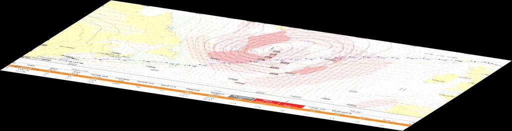
20
21
22

23 Norwegian e-navigation strategy


24 MSI NTM port Single Window
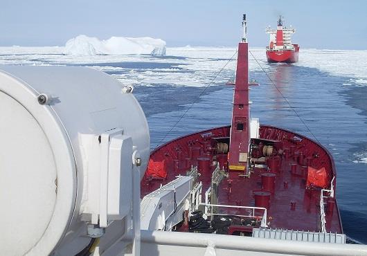
25 Meteorological information
26

27 Wave forecast

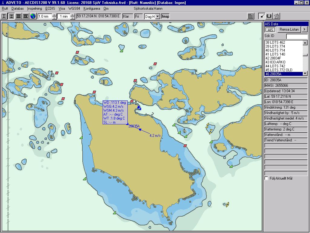
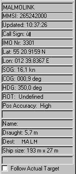
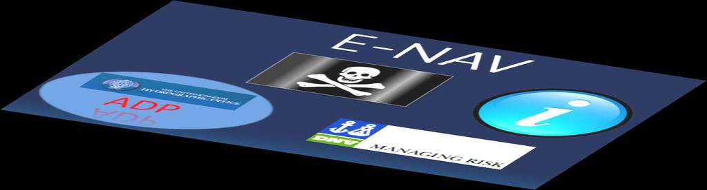
28 Wave forecast


29 Arctic Shipping Route From Rotterdam to Yokohama: 7,136 nm via Northern Sea Route; 11,548 nm via Suez Canal. From Rotterdam to Shanghai: 7,874 nm via Northern Sea Route; 10,793 nm via Suez Canal. From Rotterdam to Singapore: 9,919 nm via Northern Sea Route; 18, 664 nm via Suez Canal. From Shanghai to Hamburg: 5,200 kilometers shorter via the Arctic than via the Suez Canal From London to Japan: 7,400 km shorter via the North East passage than the Suez route. Malte Humpert and Andreas Raspotnik:The Future of Arctic Shipping Along the Transpolar Sea Route
30

31


32 Ship routing in ice waters reduces fuel, emissions and risks Planned route through the ice 6 hours Actual route around the ice 3 hours


33 Special conditions Extreme weather Extreme climate Important and vulnerable environment Ice Icing Darkness Remote area Reduced communication Reduced service Restricted navigational Restricted rescue

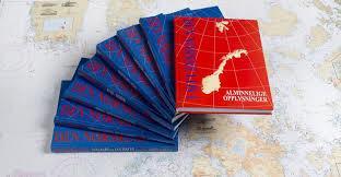
34 Fuel saving about 6 %


35 DNV Navi ADP, Pirac Weather & O Route-Voyag ENC Service NAVTOR, NavStation ; On Board e-nav services with seamless data updating
36 Benefits for the user Tailor-made information for the operation Standardization Functions on demand Scalability Reduction of work load Efficiency Reduction of equipment costs Cost effective operation (fuel material)
37 IHO S-100 data structure IMO MSC 90 approved: The use of the IHO's S-100 standard as the baseline for creating a framework for data access and services under the scope of SOLAS. A way forward for developing a Common Maritime Data Structure (CMDS); and consequently The overarching e-navigation architecture;
38 IHO S-100 data structure MSC 90 also authorised, in consultation with other organizations, the establishment of an IMO/IHO Harmonization Group on Data Modeling to consider matters related to the framework for data access and information services under the scope of SOLAS and, in particular, with a view to: harmonize and standardize formats for the collection, exchange and distribution of data, processes and procedures for the collection of data; and the development of open standard interfaces.
39 Test bed on IHO S-100 NCA, in co-operation with MPA, held a workshop in Singapore to demonstrate the use of the S-100 framework data standard and to consider potential synergies between e-navigation and the Marine Electronic Highway (MEH) project in the Straits of Malacca and Singapore. The results showed the suitability of the IHO S-100 data structure for e-navigation information

40

41 Publications relatet to MSP

42 Publications relatet to MSP
43
44

45

46 Thank you